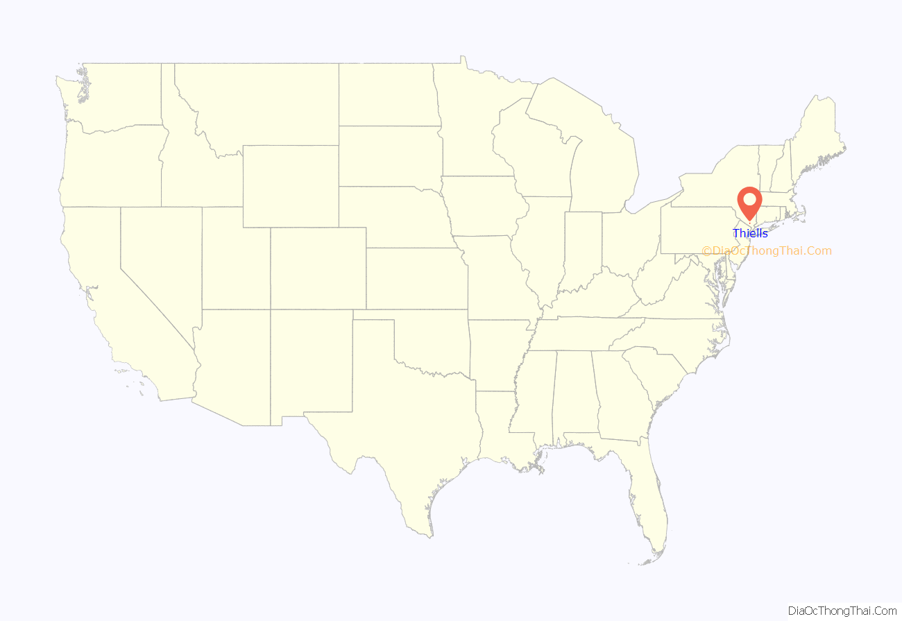
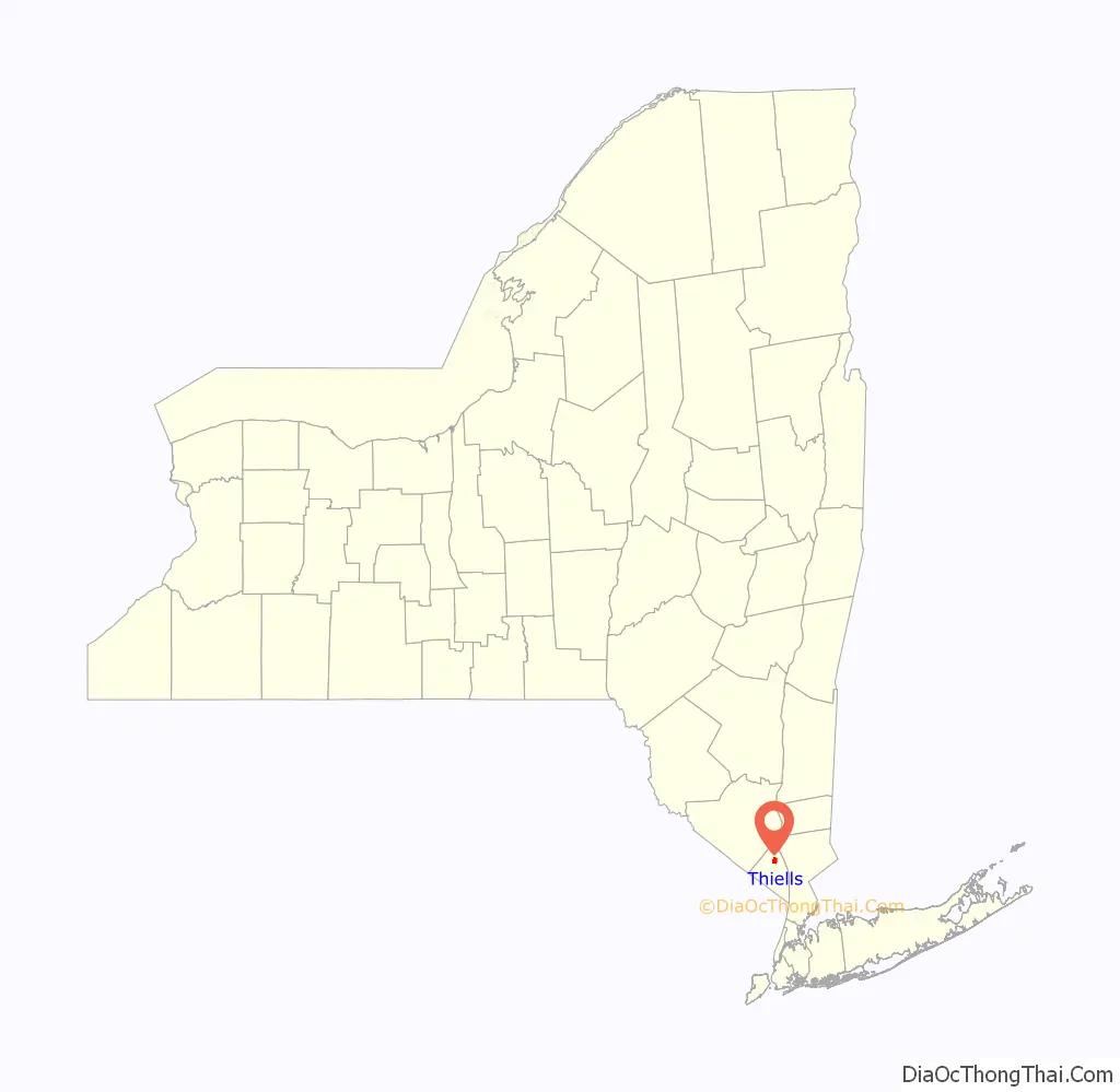
Thiells, known as Thiell’s Corner in the 1850s, is a hamlet and census-designated place (CDP) in the town of Haverstraw, Rockland County, New York, United States. It is located north of Mount Ivy, east of Pomona, south of Tomkins Cove, and west of Garnerville. The population was 5,240 as of the 2020 census.
During the American Revolution, Thiells was known as Haverstraw Forge, where General “Mad” Anthony Wayne, leading 1,350 Continental Army troops, was able to watch the area of Stony Point.
| Name: | Thiells CDP |
|---|---|
| LSAD Code: | 57 |
| LSAD Description: | CDP (suffix) |
| State: | New York |
| County: | Rockland County |
| Elevation: | 276 ft (84 m) |
| Total Area: | 1.85 sq mi (4.79 km²) |
| Land Area: | 1.82 sq mi (4.70 km²) |
| Water Area: | 0.03 sq mi (0.08 km²) |
| Total Population: | 5,240 |
| Population Density: | 2,885.46/sq mi (1,114.37/km²) |
| ZIP code: | 10984 |
| Area code: | 845 |
| FIPS code: | 3673583 |
| GNISfeature ID: | 0967361 |
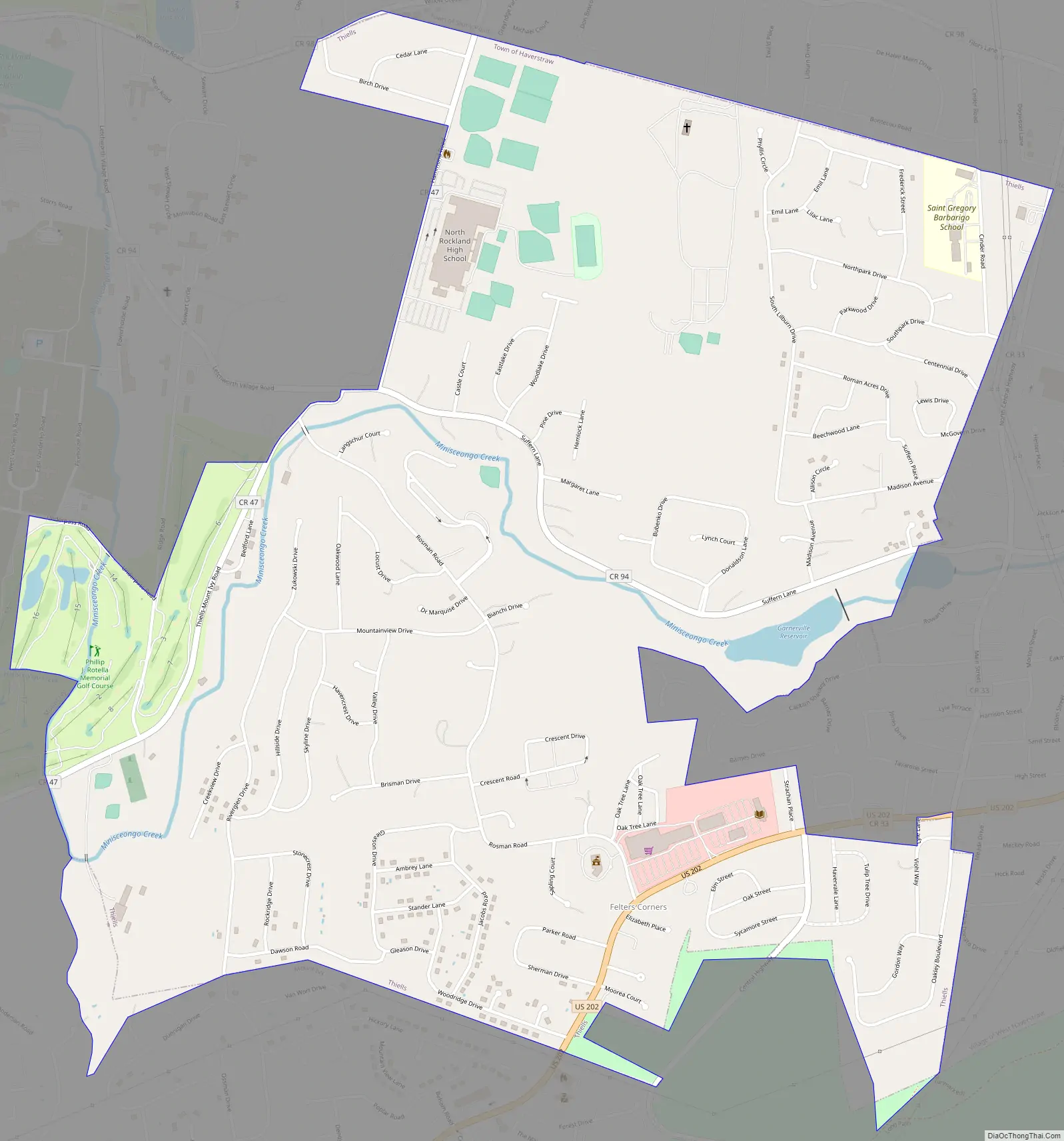
Online Interactive Map
Click on ![]() to view map in "full screen" mode.
to view map in "full screen" mode.
Thiells location map. Where is Thiells CDP?
History
In 2009, Thiells United Methodist Church, located on Rosman Road, marked its 225th anniversary. The church originated as a mission to American Indians. It was chartered by the City Road Chapel in London in 1784. A small building was built on a piece of land which was set aside by John Thiell, although he did not attend. The building, which had been expanded, was destroyed in a fire in 1973. The congregation, soon after rebuilt, on the same spot on Rosman Road.
In 2010, the David B. Roche Volunteer Fire Company celebrated its 50th anniversary. On September 11, 2001, the company experienced tragedy when New York police officer and Thiells volunteer John Coughlin, whose name remains on the roster, died in the World Trade Center.
Landmarks and places of interest
- Thiells United Methodist Church
- Letchworth Village
- Hudson Valley Revenue Support Field Office (OPWDD)
- Minisceongo Creek
Thiells Road Map
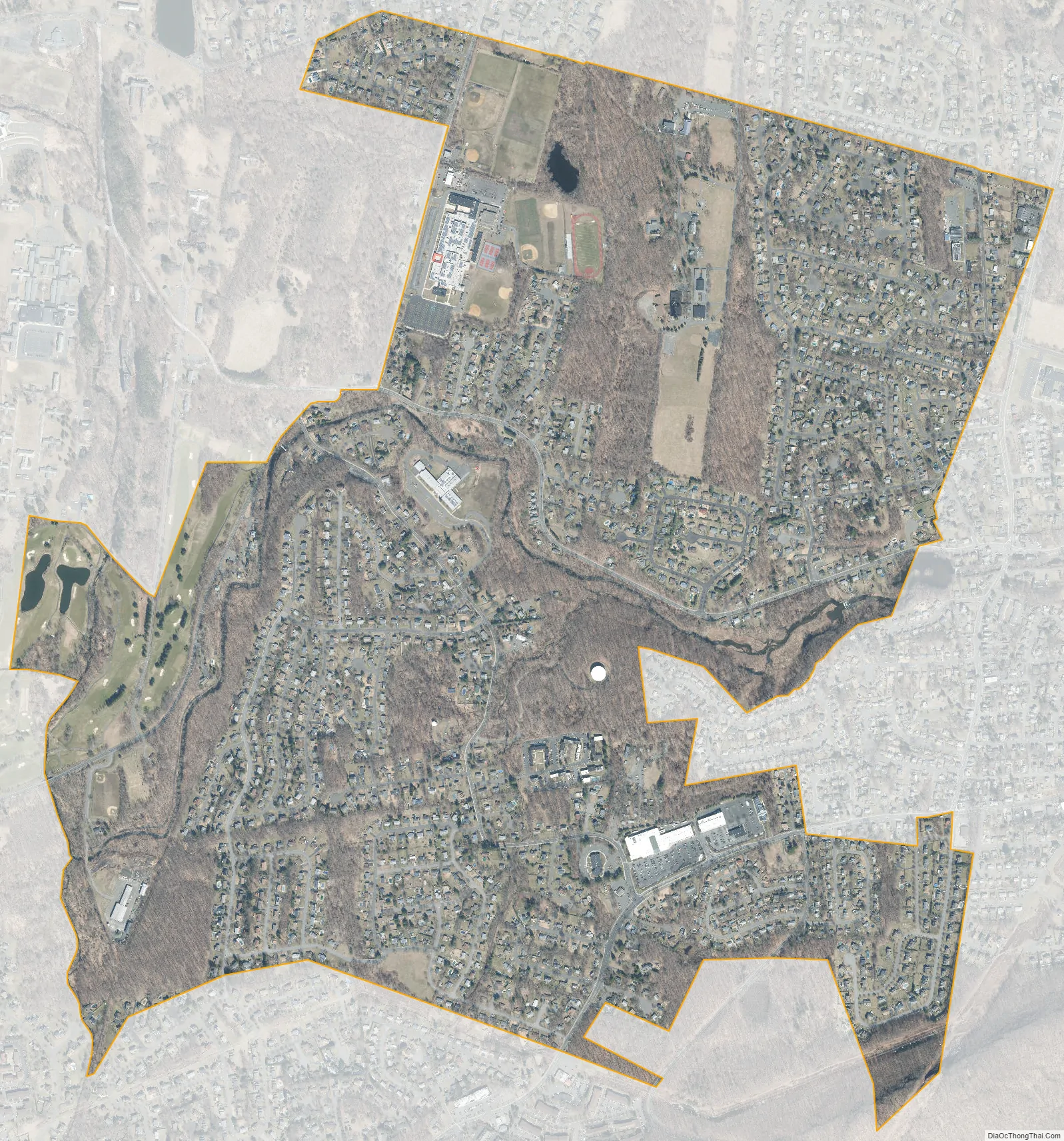
Thiells city Satellite Map
Geography
Thiells is located at 41°12′27″N 74°0′25″W / 41.20750°N 74.00694°W / 41.20750; -74.00694 (41.207392, −74.006829).
According to the United States Census Bureau, the CDP has a total area of 1.9 square miles (4.9 km), of which 1.9 square miles (4.9 km) is land and 0.53% is water.
Thiells is located on U.S. Route 202 between the Palisades Interstate Parkway and U.S. Route 9W and is west of the Hudson River.
See also
Map of New York State and its subdivision:- Albany
- Allegany
- Bronx
- Broome
- Cattaraugus
- Cayuga
- Chautauqua
- Chemung
- Chenango
- Clinton
- Columbia
- Cortland
- Delaware
- Dutchess
- Erie
- Essex
- Franklin
- Fulton
- Genesee
- Greene
- Hamilton
- Herkimer
- Jefferson
- Kings
- Lake Ontario
- Lewis
- Livingston
- Madison
- Monroe
- Montgomery
- Nassau
- New York
- Niagara
- Oneida
- Onondaga
- Ontario
- Orange
- Orleans
- Oswego
- Otsego
- Putnam
- Queens
- Rensselaer
- Richmond
- Rockland
- Saint Lawrence
- Saratoga
- Schenectady
- Schoharie
- Schuyler
- Seneca
- Steuben
- Suffolk
- Sullivan
- Tioga
- Tompkins
- Ulster
- Warren
- Washington
- Wayne
- Westchester
- Wyoming
- Yates
- Alabama
- Alaska
- Arizona
- Arkansas
- California
- Colorado
- Connecticut
- Delaware
- District of Columbia
- Florida
- Georgia
- Hawaii
- Idaho
- Illinois
- Indiana
- Iowa
- Kansas
- Kentucky
- Louisiana
- Maine
- Maryland
- Massachusetts
- Michigan
- Minnesota
- Mississippi
- Missouri
- Montana
- Nebraska
- Nevada
- New Hampshire
- New Jersey
- New Mexico
- New York
- North Carolina
- North Dakota
- Ohio
- Oklahoma
- Oregon
- Pennsylvania
- Rhode Island
- South Carolina
- South Dakota
- Tennessee
- Texas
- Utah
- Vermont
- Virginia
- Washington
- West Virginia
- Wisconsin
- Wyoming


