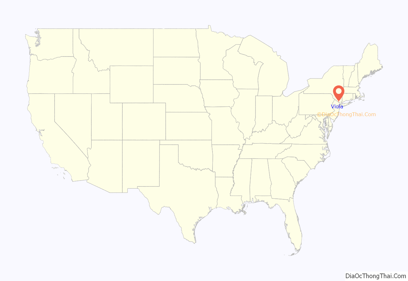
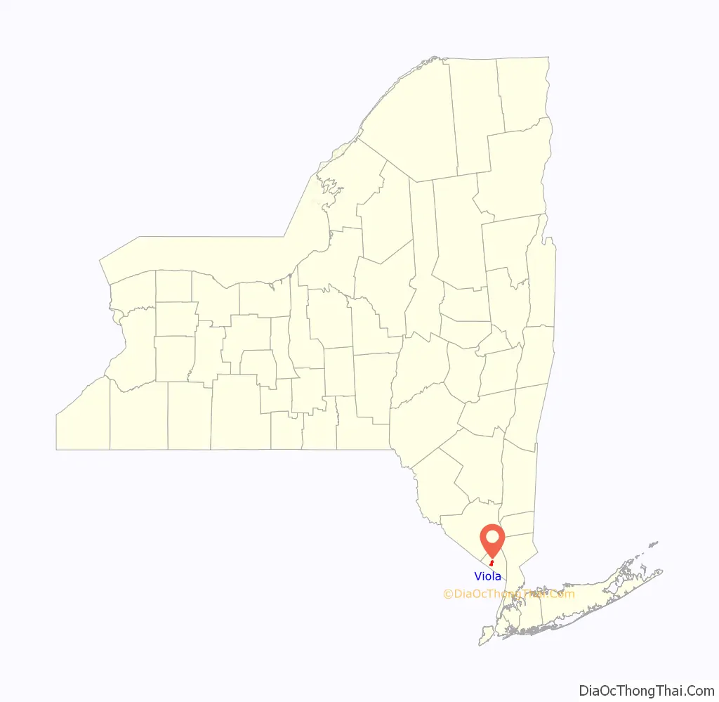
Viola is a hamlet and census-designated place in the town of Ramapo, Rockland County, New York, United States. It is located north of Airmont, east of Montebello, south of Wesley Hills, and west of Hillcrest. The population was 6,868 at the 2010 census.
| Name: | Viola CDP |
|---|---|
| LSAD Code: | 57 |
| LSAD Description: | CDP (suffix) |
| State: | New York |
| County: | Rockland County |
| Elevation: | 568 ft (173 m) |
| Total Area: | 2.76 sq mi (7.16 km²) |
| Land Area: | 2.76 sq mi (7.16 km²) |
| Water Area: | 0.00 sq mi (0.00 km²) |
| Total Population: | 8,208 |
| Population Density: | 2,969.61/sq mi (1,146.48/km²) |
| FIPS code: | 3677574 |
| GNISfeature ID: | 0968565 |
Online Interactive Map
Click on ![]() to view map in "full screen" mode.
to view map in "full screen" mode.
Viola location map. Where is Viola CDP?
History
Alms House
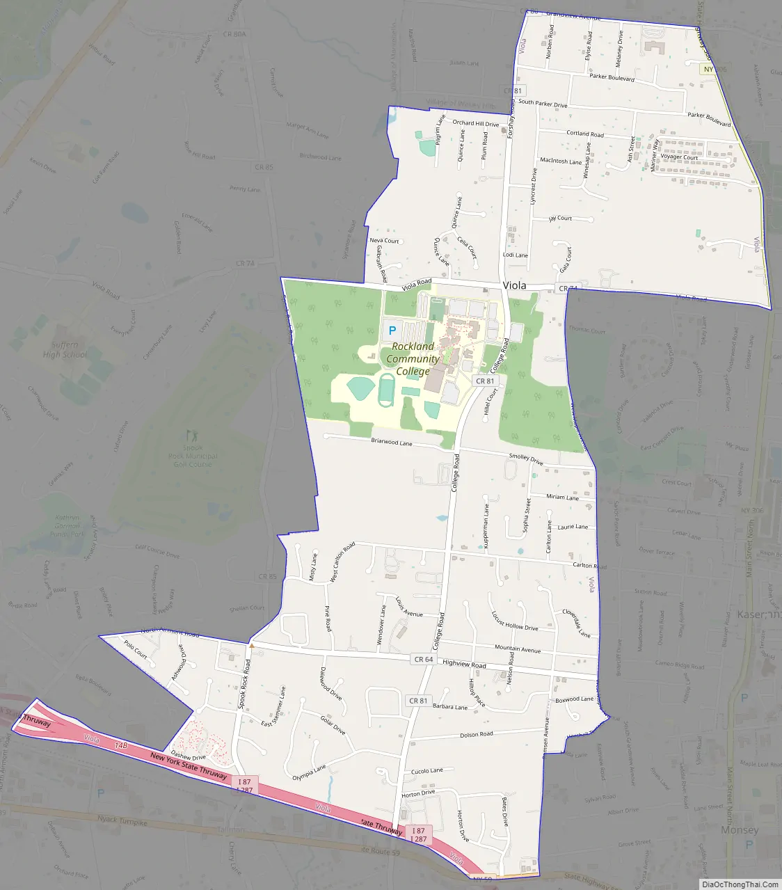
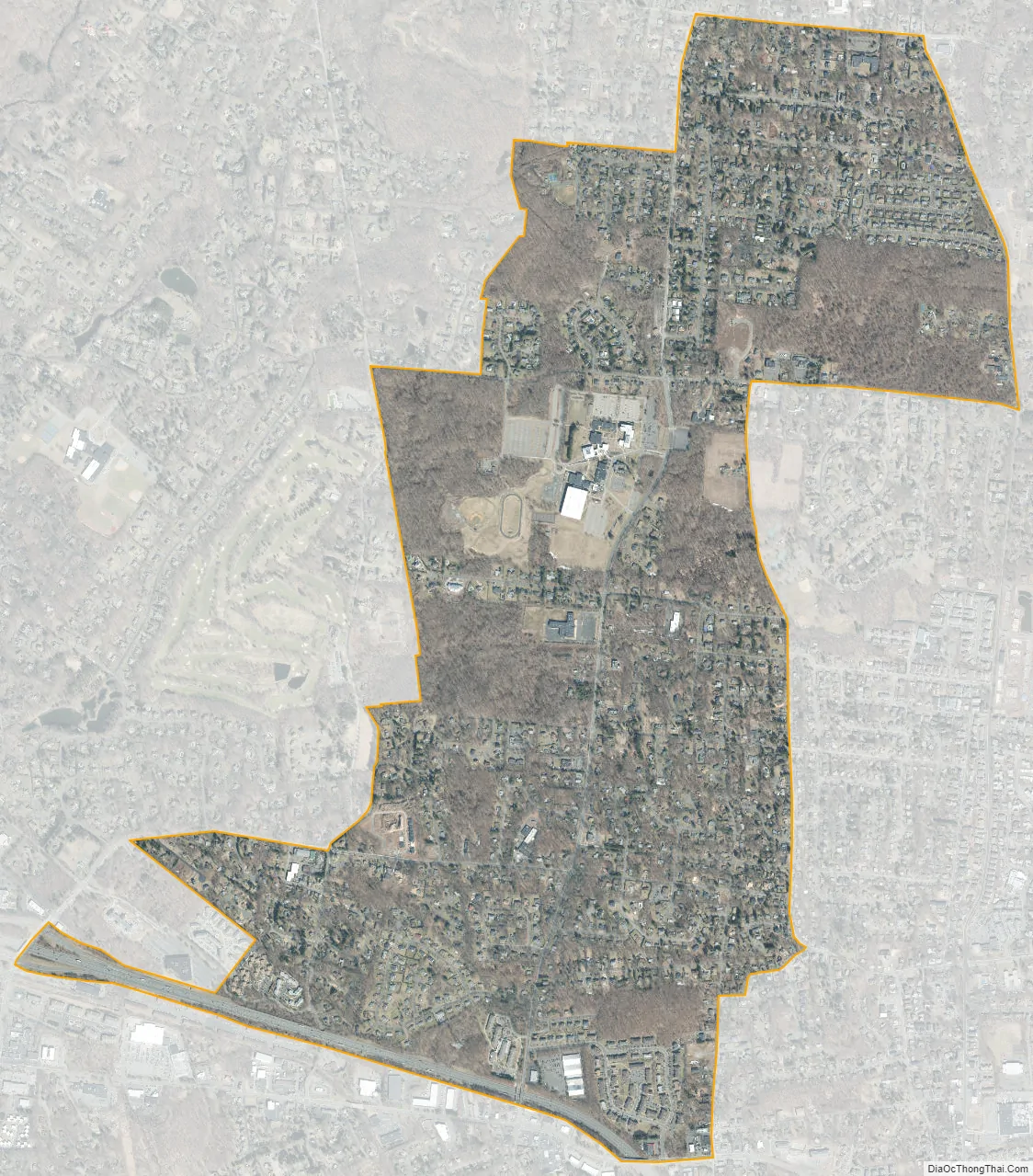
The Alms House (or County Poor House) was established in 1837, at Viola (then known as Mechanicsville) in the town of Ramapo, for the poor and destitute (debtors). It was located 7 miles (11 km) west of New City. Rockland County had purchased the 47-acre (190,000 m) parsonage farm of the Kakiat (West New Hempstead) Dutch Reformed Church (also known as the Brick Church) for use as an alms house. There the county originally built a wooden frame house to serve the poor. The inmates contributed to their upkeep by tending the farm. In 1883, a brick building was constructed. The facility included a school for the children. In 1957, the Alms House was moved to Building “C” at the Pomona Health Center in Summit Park, and the property would become the site of Rockland Community College. The Alms House was renamed the Rockland County Infirmary and Home. In 1977, it was removed to Building “A”. It has been renamed the Summit Park Nursing Care Center. The old brick Alms House building remains as an administration building (Daniel T. Brucker Hall), used by Rockland Community College. The farm lands are the campus. The Poor Cemetery (Potter’s Field) remains on the RCC campus, along with the original Gary Onderdonk Veterans’ Cemetery.
Viola Road Map
Viola city Satellite Map
Geography
Viola is located at 41°7′35″N 74°5′0″W / 41.12639°N 74.08333°W / 41.12639; -74.08333 (41.126295, -74.083285).
According to the United States Census Bureau, the CDP has a total area of 2.7 square miles (7.0 km), all land.
See also
Map of New York State and its subdivision:- Albany
- Allegany
- Bronx
- Broome
- Cattaraugus
- Cayuga
- Chautauqua
- Chemung
- Chenango
- Clinton
- Columbia
- Cortland
- Delaware
- Dutchess
- Erie
- Essex
- Franklin
- Fulton
- Genesee
- Greene
- Hamilton
- Herkimer
- Jefferson
- Kings
- Lake Ontario
- Lewis
- Livingston
- Madison
- Monroe
- Montgomery
- Nassau
- New York
- Niagara
- Oneida
- Onondaga
- Ontario
- Orange
- Orleans
- Oswego
- Otsego
- Putnam
- Queens
- Rensselaer
- Richmond
- Rockland
- Saint Lawrence
- Saratoga
- Schenectady
- Schoharie
- Schuyler
- Seneca
- Steuben
- Suffolk
- Sullivan
- Tioga
- Tompkins
- Ulster
- Warren
- Washington
- Wayne
- Westchester
- Wyoming
- Yates
- Alabama
- Alaska
- Arizona
- Arkansas
- California
- Colorado
- Connecticut
- Delaware
- District of Columbia
- Florida
- Georgia
- Hawaii
- Idaho
- Illinois
- Indiana
- Iowa
- Kansas
- Kentucky
- Louisiana
- Maine
- Maryland
- Massachusetts
- Michigan
- Minnesota
- Mississippi
- Missouri
- Montana
- Nebraska
- Nevada
- New Hampshire
- New Jersey
- New Mexico
- New York
- North Carolina
- North Dakota
- Ohio
- Oklahoma
- Oregon
- Pennsylvania
- Rhode Island
- South Carolina
- South Dakota
- Tennessee
- Texas
- Utah
- Vermont
- Virginia
- Washington
- West Virginia
- Wisconsin
- Wyoming


