West Winfield is a village in the town of Winfield in Herkimer County, New York, United States. The population was 826 at the 2010 census. The village is indirectly named after General Winfield Scott. The village is south of Utica.
| Name: | West Winfield village |
|---|---|
| LSAD Code: | 47 |
| LSAD Description: | village (suffix) |
| State: | New York |
| County: | Herkimer County |
| Elevation: | 1,191 ft (363 m) |
| Total Area: | 0.91 sq mi (2.36 km²) |
| Land Area: | 0.91 sq mi (2.36 km²) |
| Water Area: | 0.00 sq mi (0.00 km²) |
| Total Population: | 733 |
| Population Density: | 804.61/sq mi (310.59/km²) |
| ZIP code: | 13491 |
| Area code: | 315 |
| FIPS code: | 3681292 |
| GNISfeature ID: | 0970891 |
| Website: | www.westwinfield.org |
Online Interactive Map
Click on ![]() to view map in "full screen" mode.
to view map in "full screen" mode.
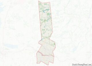
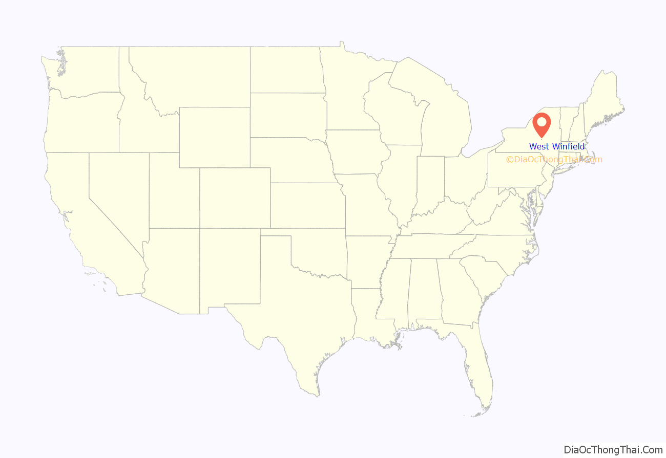
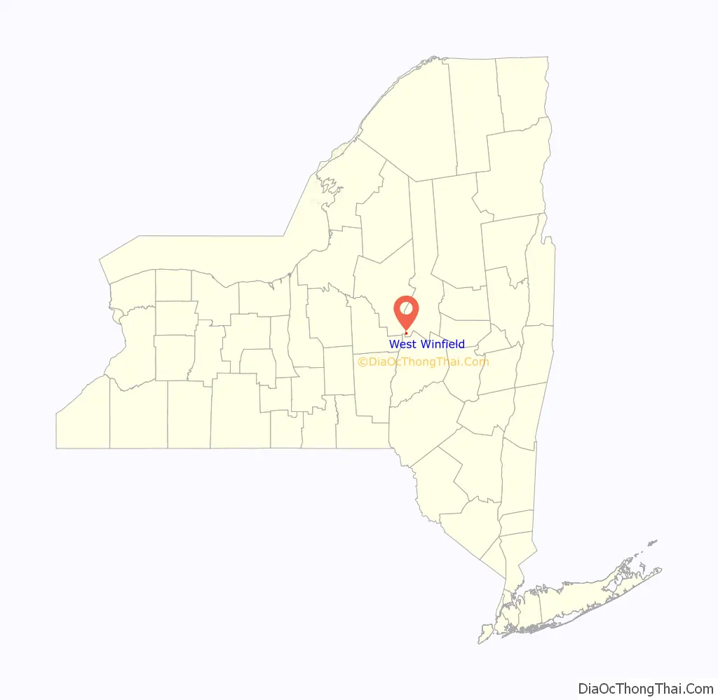
West Winfield location map. Where is West Winfield village?
History
An early school in the town, the West Winfield Academy (Mt. Markham), was established in 1850.
The Bonfoy–Barstow House was listed on the National Register of Historic Places in 2011.
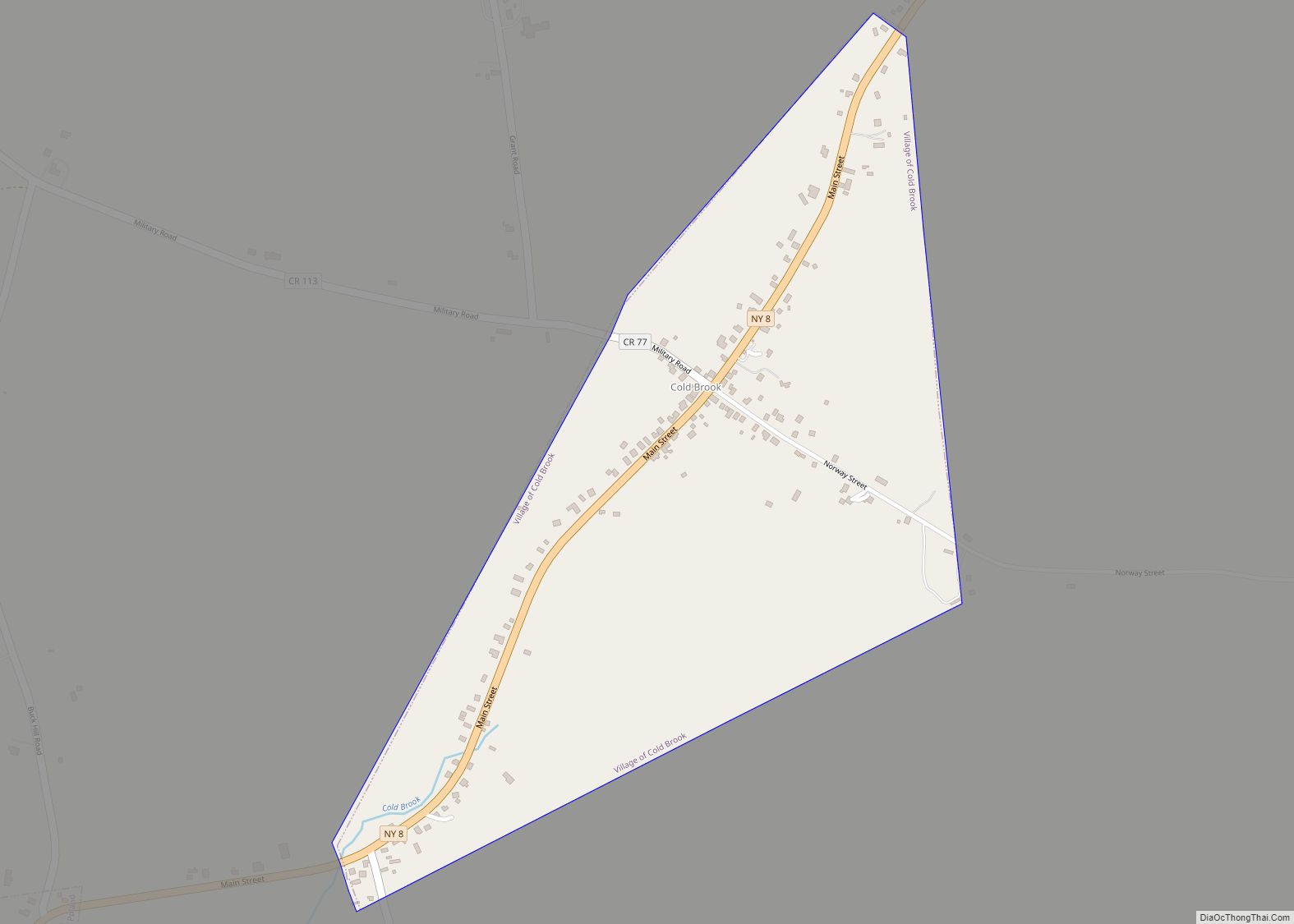
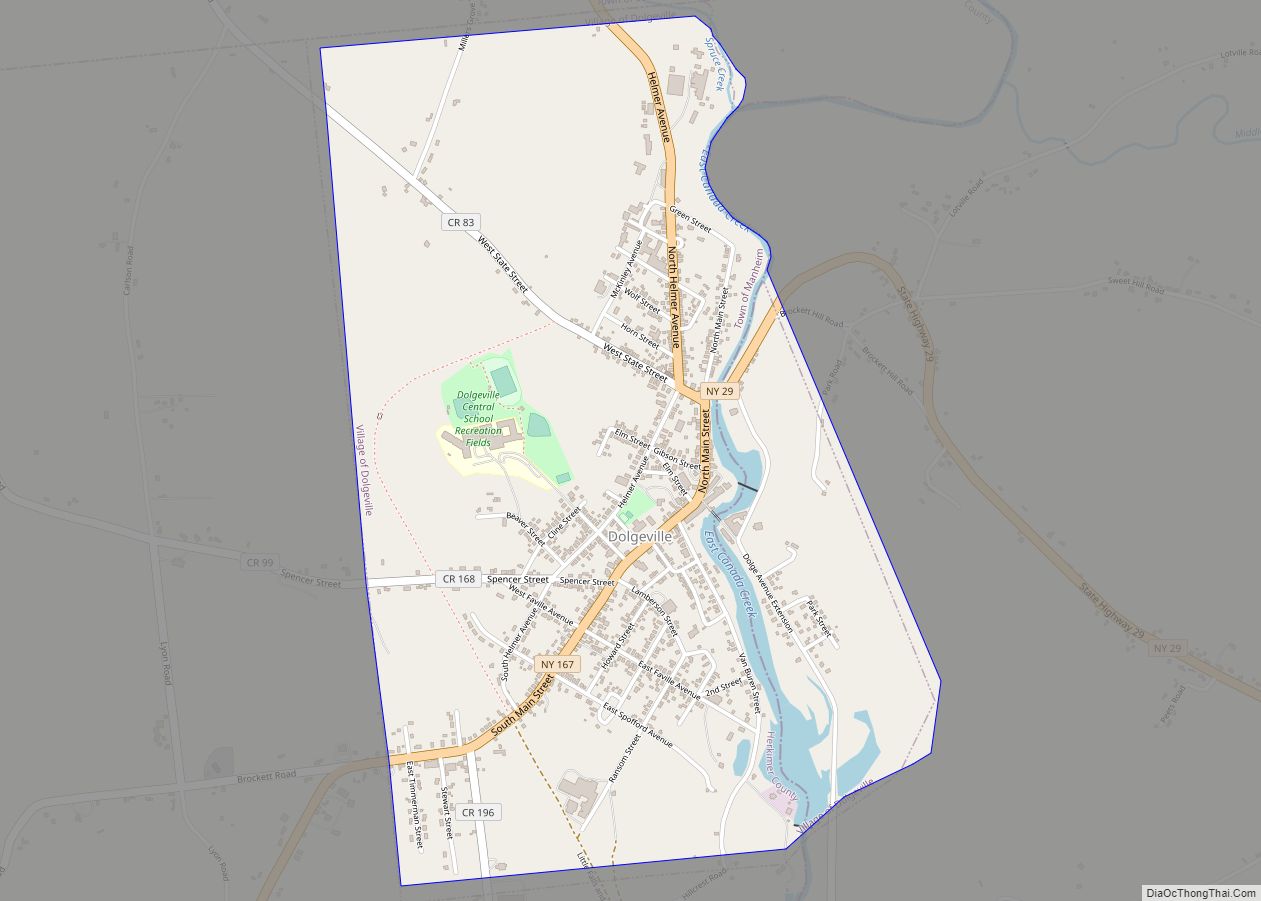
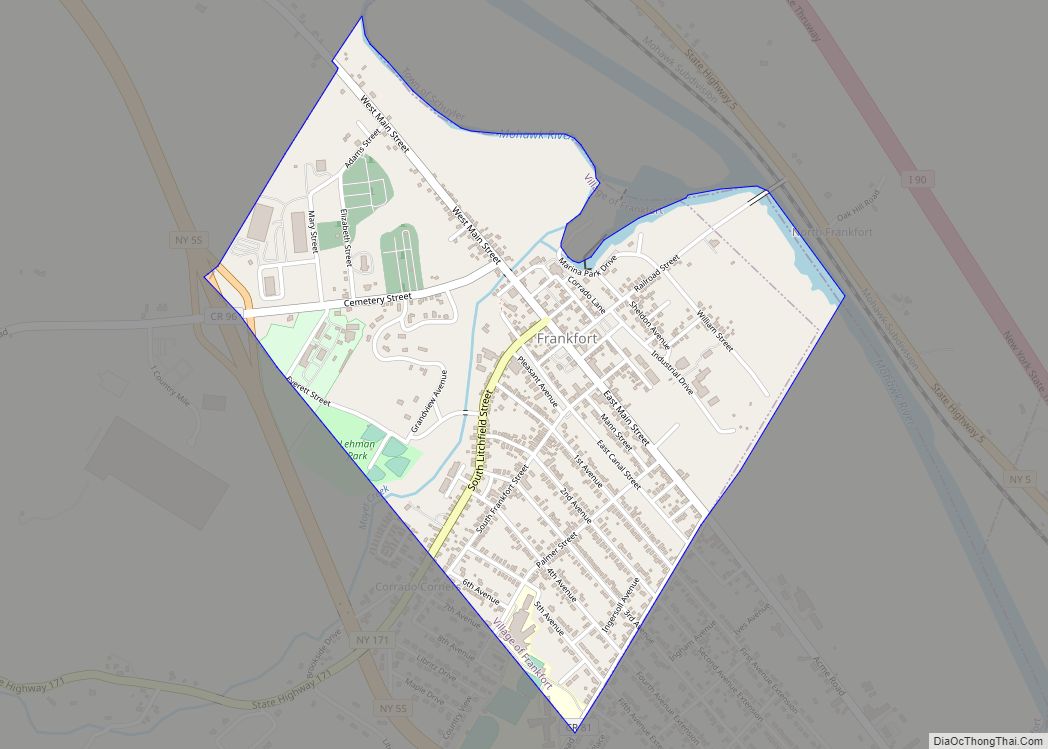
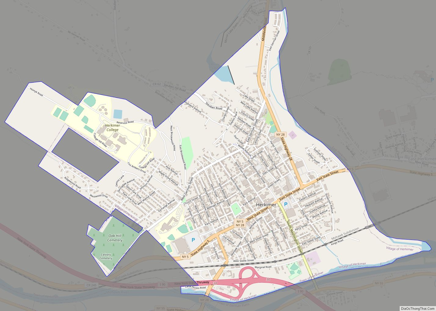
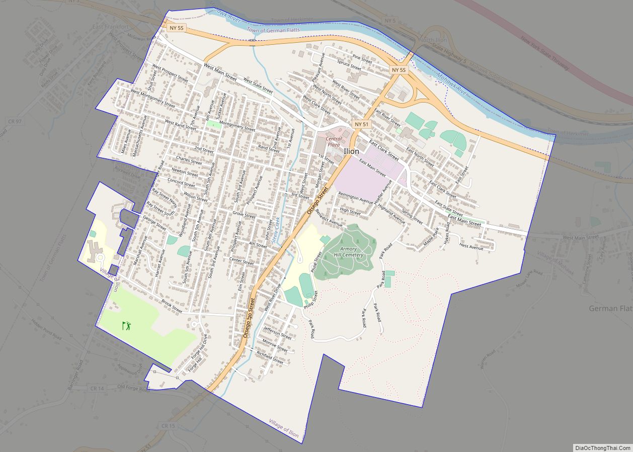
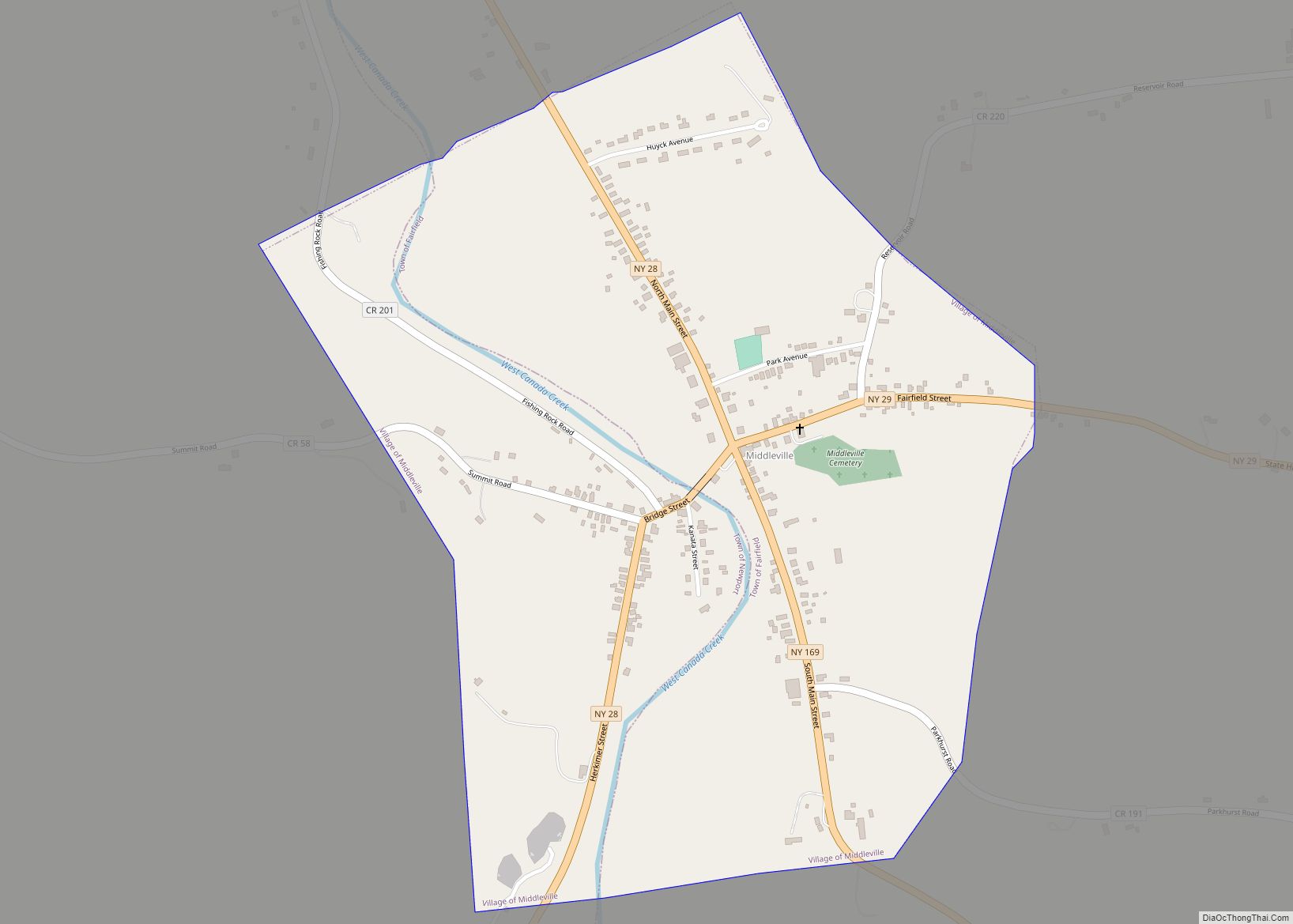
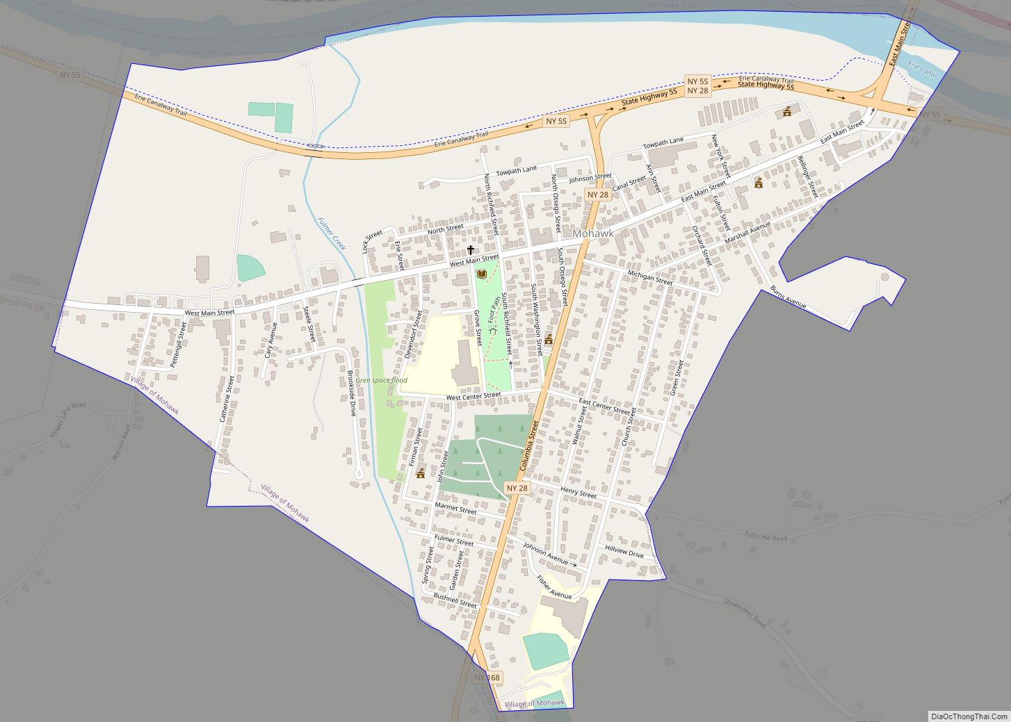
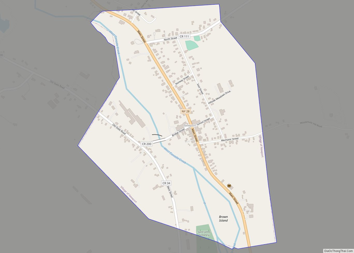
West Winfield Road Map

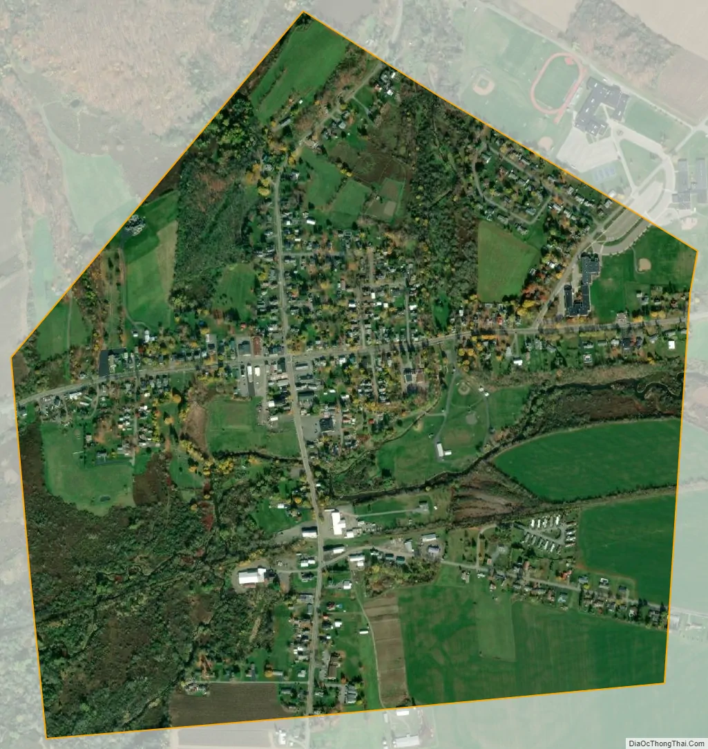
West Winfield city Satellite Map
Geography
According to the United States Census Bureau, the village has a total area of 0.91 square miles (2.36 km), all land.
A branch of the Unadilla River, a tributary of the Susquehanna River, flows through the village.
The village is on U.S. Route 20 (Main Street) at the junction of New York State Route 51 (South Street). US-20 leads east 11 miles (18 km) to Richfield Springs and west 3 miles (5 km) to Bridgewater. NY-51 leads south 12 miles (19 km) to Burlington Flats. Utica is 17 miles (27 km) to the north via county roads.
See also
Map of New York State and its subdivision:- Albany
- Allegany
- Bronx
- Broome
- Cattaraugus
- Cayuga
- Chautauqua
- Chemung
- Chenango
- Clinton
- Columbia
- Cortland
- Delaware
- Dutchess
- Erie
- Essex
- Franklin
- Fulton
- Genesee
- Greene
- Hamilton
- Herkimer
- Jefferson
- Kings
- Lake Ontario
- Lewis
- Livingston
- Madison
- Monroe
- Montgomery
- Nassau
- New York
- Niagara
- Oneida
- Onondaga
- Ontario
- Orange
- Orleans
- Oswego
- Otsego
- Putnam
- Queens
- Rensselaer
- Richmond
- Rockland
- Saint Lawrence
- Saratoga
- Schenectady
- Schoharie
- Schuyler
- Seneca
- Steuben
- Suffolk
- Sullivan
- Tioga
- Tompkins
- Ulster
- Warren
- Washington
- Wayne
- Westchester
- Wyoming
- Yates
- Alabama
- Alaska
- Arizona
- Arkansas
- California
- Colorado
- Connecticut
- Delaware
- District of Columbia
- Florida
- Georgia
- Hawaii
- Idaho
- Illinois
- Indiana
- Iowa
- Kansas
- Kentucky
- Louisiana
- Maine
- Maryland
- Massachusetts
- Michigan
- Minnesota
- Mississippi
- Missouri
- Montana
- Nebraska
- Nevada
- New Hampshire
- New Jersey
- New Mexico
- New York
- North Carolina
- North Dakota
- Ohio
- Oklahoma
- Oregon
- Pennsylvania
- Rhode Island
- South Carolina
- South Dakota
- Tennessee
- Texas
- Utah
- Vermont
- Virginia
- Washington
- West Virginia
- Wisconsin
- Wyoming