Youngstown is a village in Niagara County, New York, United States. The population was 1,935 at the 2010 census. It is part of the Buffalo–Niagara Falls Metropolitan Statistical Area.
Youngstown is on the western edge of the town of Porter and is at the international border with Canada, at Niagara-on-the-Lake, Ontario. It is north of the city of Niagara Falls.
| Name: | Youngstown village |
|---|---|
| LSAD Code: | 47 |
| LSAD Description: | village (suffix) |
| State: | New York |
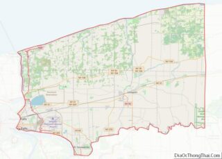
| County: | Niagara County |
| Elevation: | 295 ft (90 m) |
| Total Area: | 1.34 sq mi (3.46 km²) |
| Land Area: | 1.08 sq mi (2.80 km²) |
| Water Area: | 0.26 sq mi (0.66 km²) |
| Total Population: | 1,859 |
| Population Density: | 1,719.70/sq mi (664.08/km²) |
| ZIP code: | 14174 |
| Area code: | 716 |
| FIPS code: | 3684143 |
| GNISfeature ID: | 0971860 |
| Website: | www.youngstownnewyork.us |
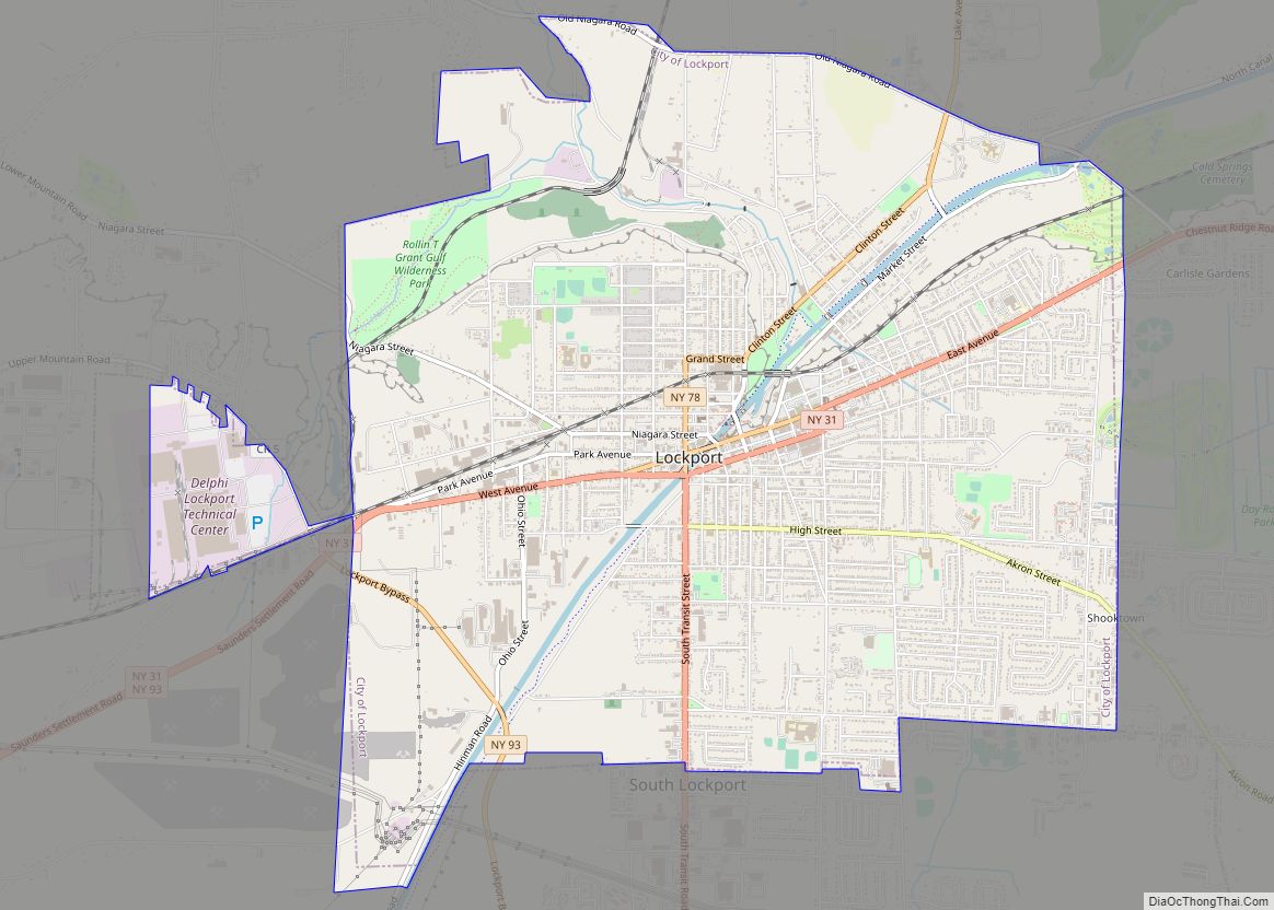
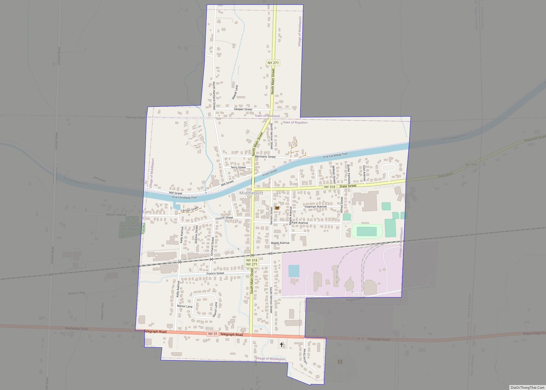
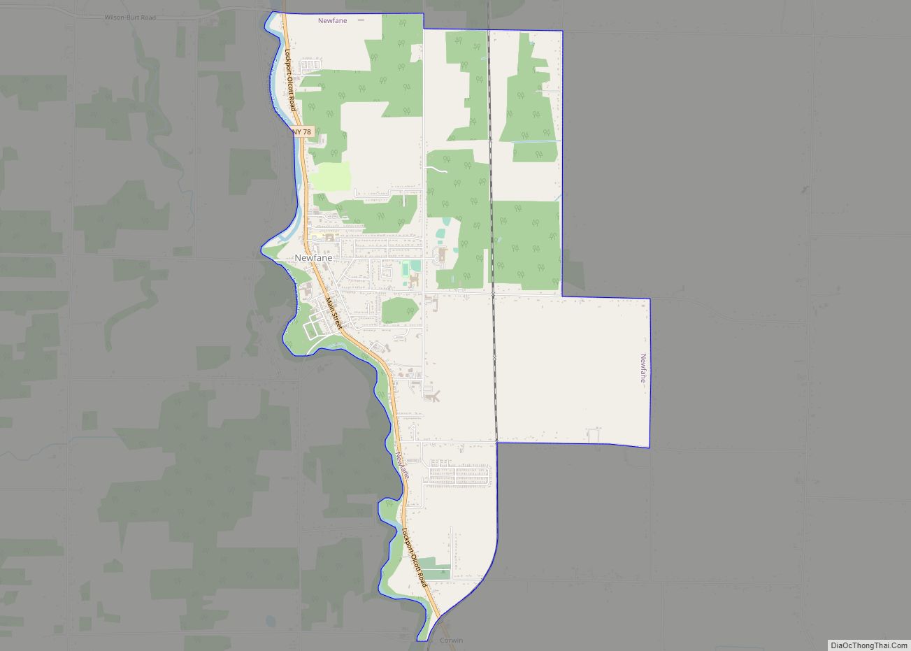
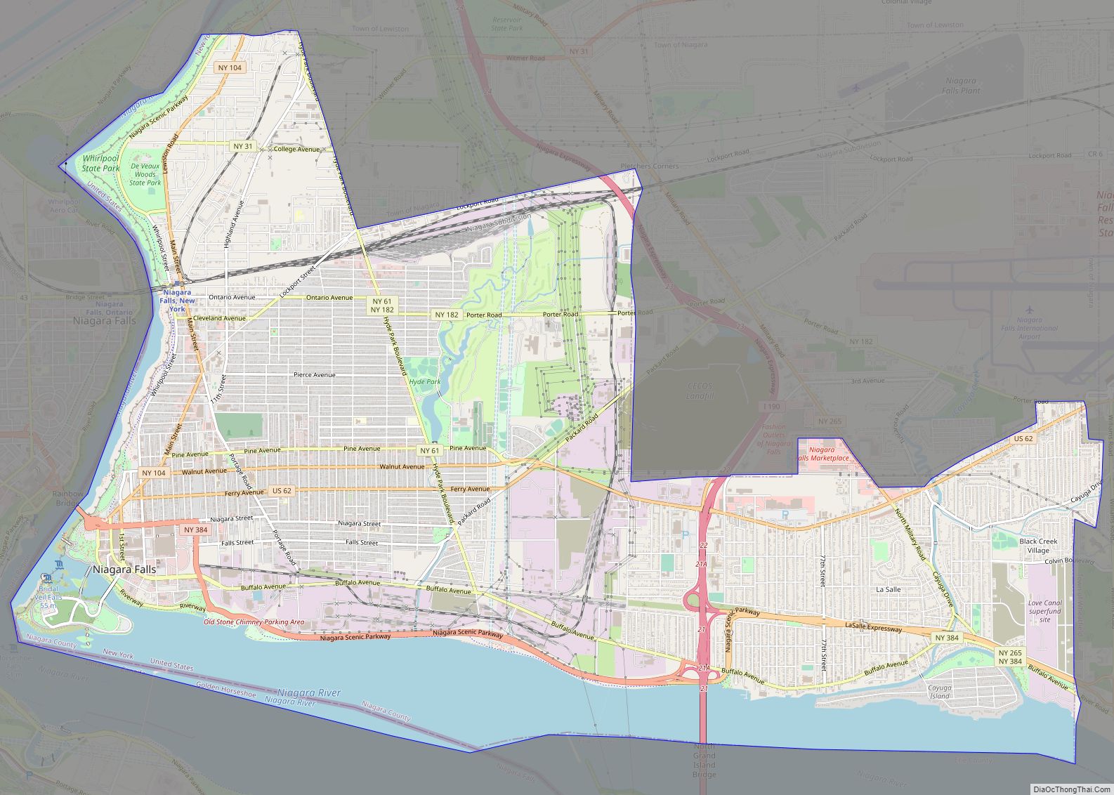
Online Interactive Map
Click on ![]() to view map in "full screen" mode.
to view map in "full screen" mode.
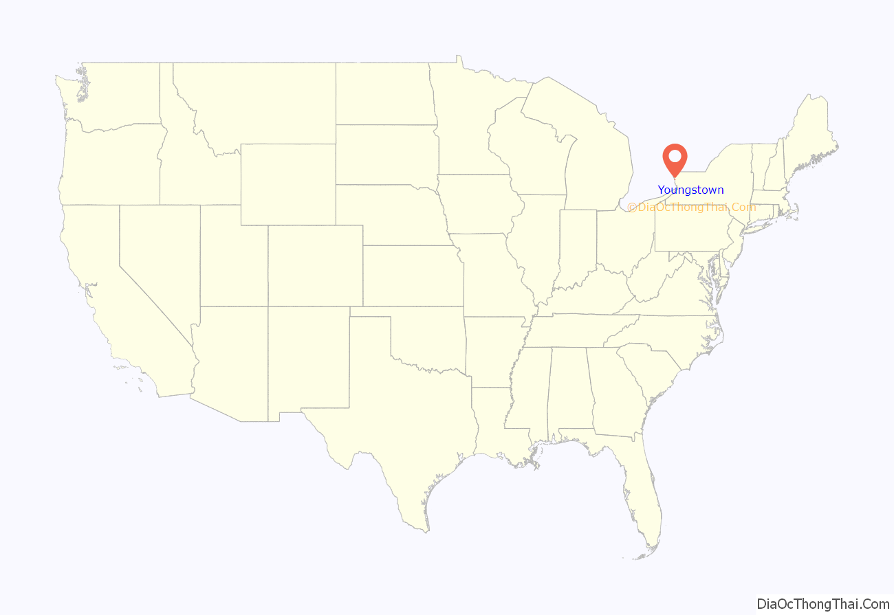
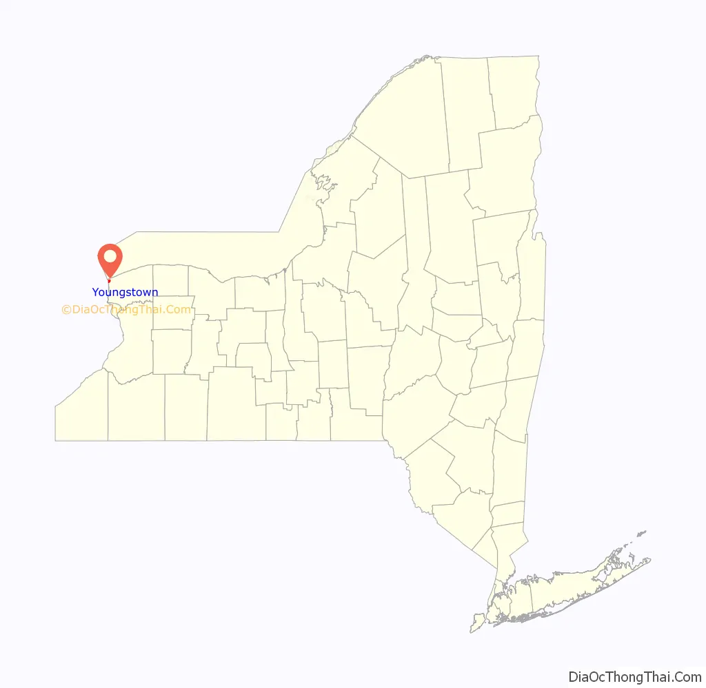
Youngstown location map. Where is Youngstown village?
History
The village’s early growth was under the protection of Fort Niagara. The village was destroyed by the British in 1813 during the War of 1812. The Village of Youngstown was incorporated in 1854, named after John Young.
Youngstown is an historic village located at the northwestern corner of the state where the Niagara River flows into Lake Ontario. In an area known to the Indians for hundreds of years, the French explorer La Salle left his mark by building a small fort in 1670, less than a mile north of where the village now stands. The French gained control of the Great Lakes area and by 1727 built the “Castle” which became the centerpiece of Old Fort Niagara.
John Young, who lived across the river, saw opportunities on this side and built a store on the landing area in 1809. In 1811, he bought Lots 1 and 2 of the Mile Reserve. These included all the property from what is now the north side of Falkner Park and as far south as Campbell Street and from the river eastward to what is now the Niagara Scenic Parkway.
Young sold the Falkner Park area to Robert Greensit in March 1812 before the war started between the U.S. and England. By that time, a number of log cabins had been built to provide shelter for the skilled tradesmen and storekeepers who were attracted to the area by the Fort which needed many supplies and services.
In 1813, American forces captured Fort George across the river. At Christmas time, they retreated to the American side after burning the Village of Newark, Ontario (now Niagara-On-The-Lake). In retaliation, British and Indians captured Fort Niagara and burned most of the buildings and homes south of it to what is now Buffalo.
Rebuilding gradually took place and by the 1840s the village was well established with many fine homes and stores. The moderate climate, the excellent fishing, accessibility by lake boats and proximity to Canada all played a part in Youngstown’s growth. The soil proved invaluable for fruit culture which attracted many farmers. This led to the development of industries such as barrel making, fruit packing and storage, the drying of apples and making of cider and vinegar. Carpenters, blacksmiths and other tradesmen were needed as lumber and shipbuilding businesses were important for many years.
Many changes have come about through the years: concrete sidewalks replaced those made of wood. The dirt and stone road to Lewiston became a safe paved highway; the fire company grew from a man-pulled hose cart into a fully equipped fire department and water and sewer systems were installed throughout the village. The handling of mail began in Judge Hinman’s home and was finally delivered house to house in 1959.
Three railroads were built to the village. Two failed immediately in the 1850s, but the electric line carried supplies to the village and fort as well as bringing thousands of people to the old beach amusement park.
The following are listed on the National Register of Historic Places: Fort Niagara Light, John Carter Farmstead, St. John’s Episcopal Church, and the Old Fort Niagara-Colonial Niagara Historic District.
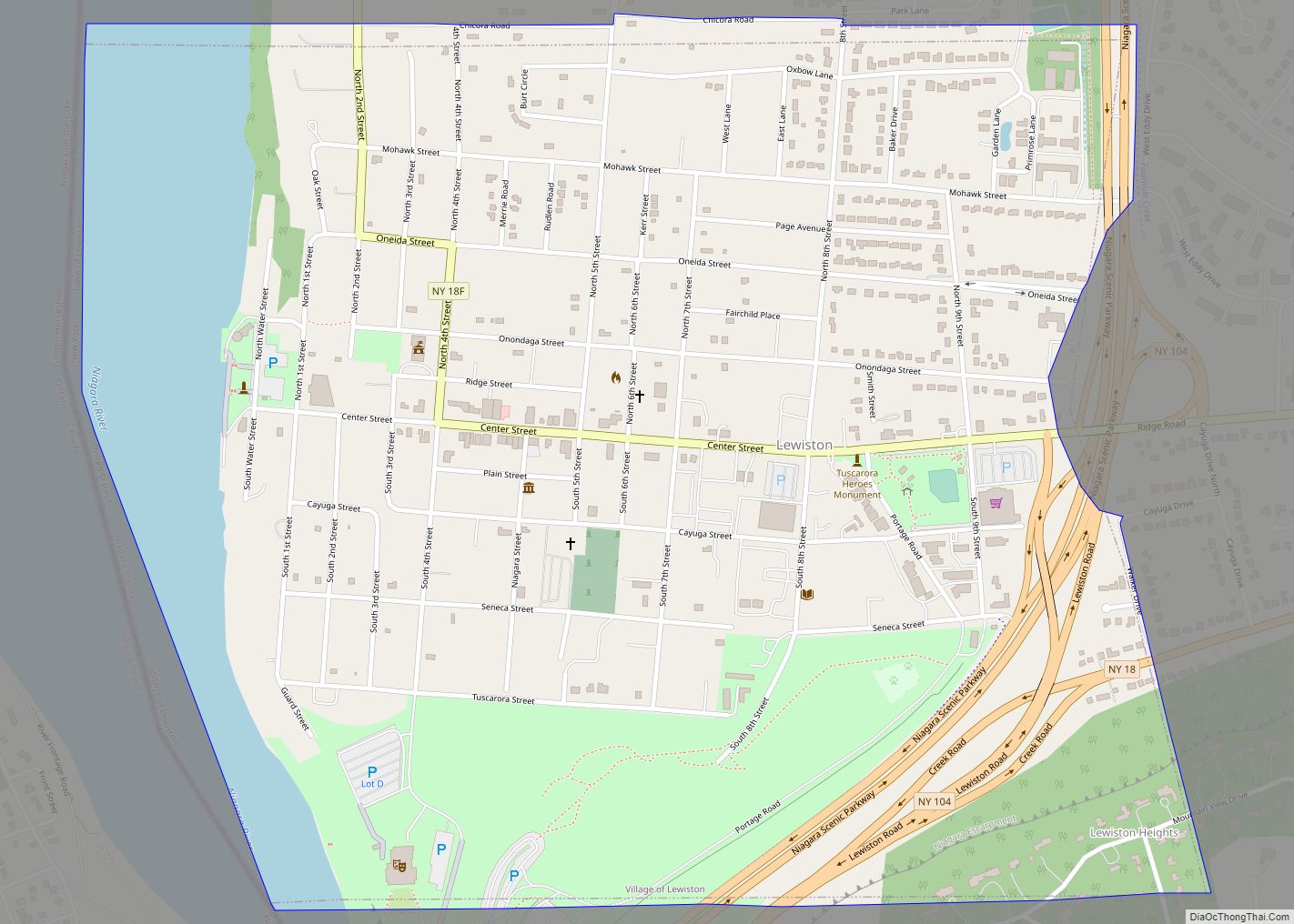
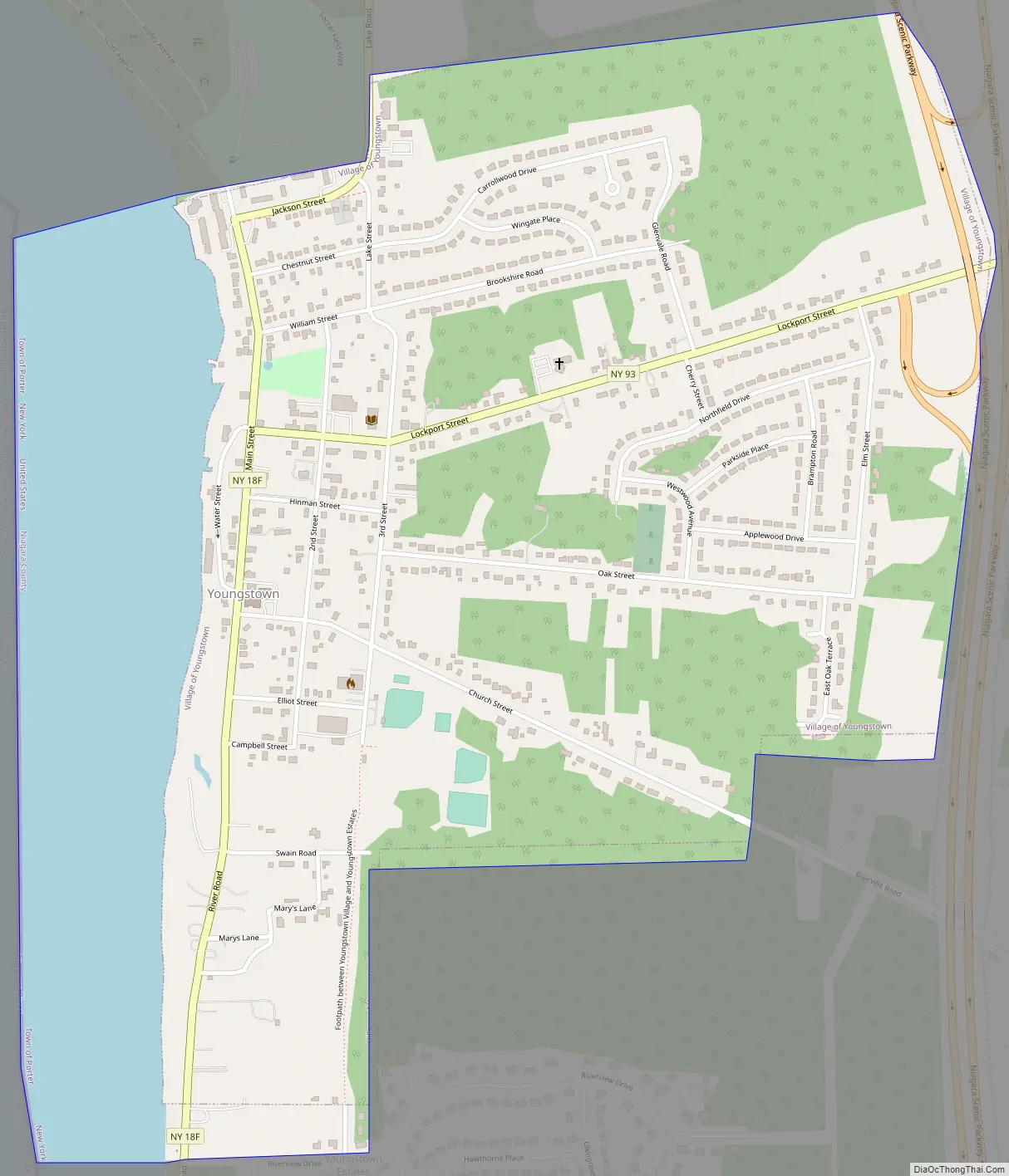
Youngstown Road Map
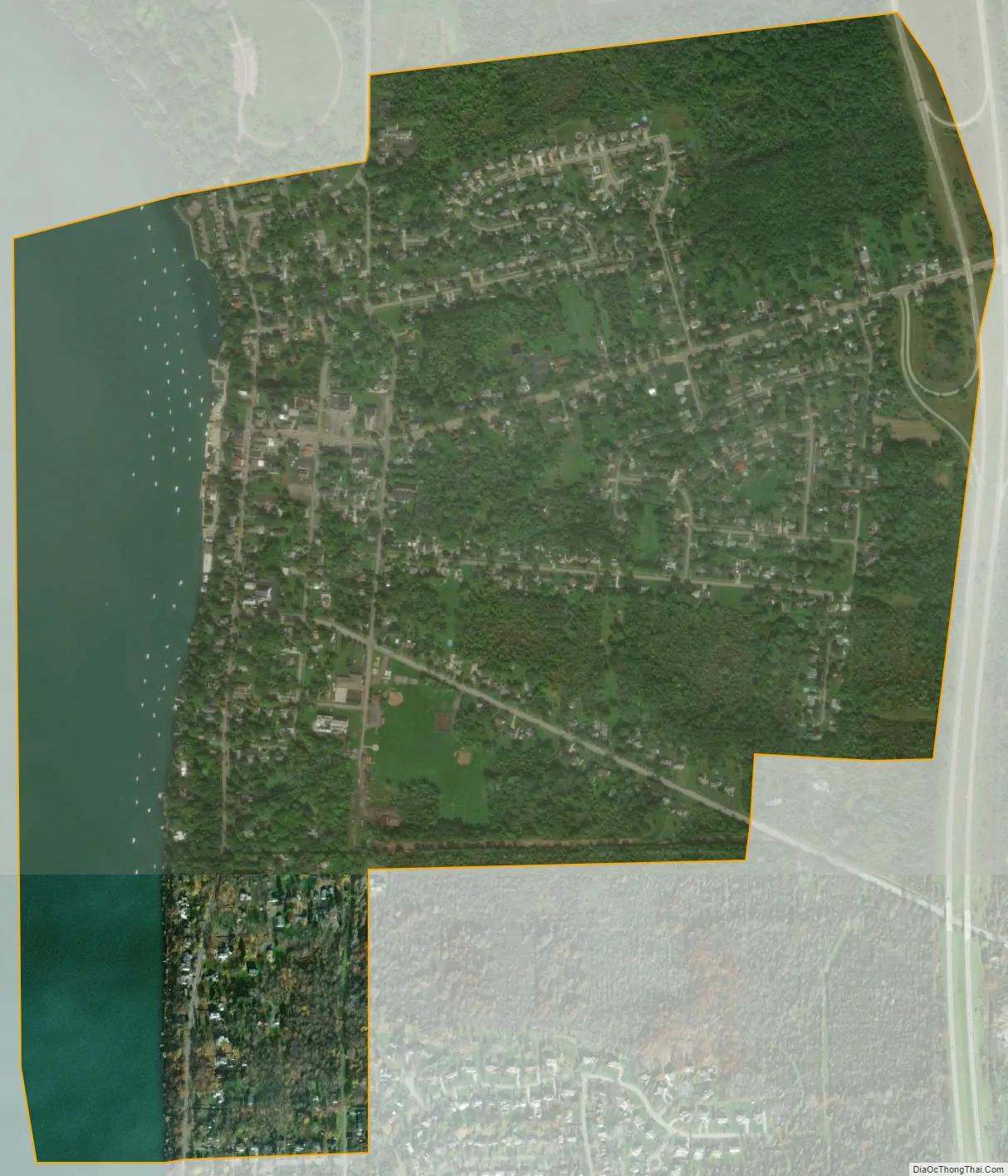
Youngstown city Satellite Map
Geography
According to the United States Census Bureau, the village has a total area of 1.4 square miles (3.6 km), of which 1.2 square miles (3.1 km) is land and 0.2 square miles (0.52 km) (17.14%) is water.
New York State Route 18F (Lower River Road) parallels the Niagara River through the village and intersects Lockport Street (NY 93).
New York State Route 93 (Lockport St. in the village, western terminus at NY 18F in the village).
Adjacent areas
The village is on the east bank of the Niagara River and is north of the city of Niagara Falls and the town of Lewiston. Youngstown is west of the Niagara Scenic Parkway and at the western end of the Youngstown-Lockport Road (NY-93). The village is entirely within the town of Porter. Across the Niagara River is the town of Niagara-on-the-Lake, Ontario, located within the Niagara Region.
Toronto is directly across Lake Ontario to the north. Day or night, under clear conditions, the Toronto skyline is visible to the naked eye from Old Fort Niagara State Park.
Climate
Northwestern Niagara County has a hot summer humid continental climate (Dfa), bordering closely on a humid subtropical climate (Cfa -3), with the temperature in January and February averaging about 27 °F (−3 °C).
See also
Map of New York State and its subdivision:- Albany
- Allegany
- Bronx
- Broome
- Cattaraugus
- Cayuga
- Chautauqua
- Chemung
- Chenango
- Clinton
- Columbia
- Cortland
- Delaware
- Dutchess
- Erie
- Essex
- Franklin
- Fulton
- Genesee
- Greene
- Hamilton
- Herkimer
- Jefferson
- Kings
- Lake Ontario
- Lewis
- Livingston
- Madison
- Monroe
- Montgomery
- Nassau
- New York
- Niagara
- Oneida
- Onondaga
- Ontario
- Orange
- Orleans
- Oswego
- Otsego
- Putnam
- Queens
- Rensselaer
- Richmond
- Rockland
- Saint Lawrence
- Saratoga
- Schenectady
- Schoharie
- Schuyler
- Seneca
- Steuben
- Suffolk
- Sullivan
- Tioga
- Tompkins
- Ulster
- Warren
- Washington
- Wayne
- Westchester
- Wyoming
- Yates
- Alabama
- Alaska
- Arizona
- Arkansas
- California
- Colorado
- Connecticut
- Delaware
- District of Columbia
- Florida
- Georgia
- Hawaii
- Idaho
- Illinois
- Indiana
- Iowa
- Kansas
- Kentucky
- Louisiana
- Maine
- Maryland
- Massachusetts
- Michigan
- Minnesota
- Mississippi
- Missouri
- Montana
- Nebraska
- Nevada
- New Hampshire
- New Jersey
- New Mexico
- New York
- North Carolina
- North Dakota
- Ohio
- Oklahoma
- Oregon
- Pennsylvania
- Rhode Island
- South Carolina
- South Dakota
- Tennessee
- Texas
- Utah
- Vermont
- Virginia
- Washington
- West Virginia
- Wisconsin
- Wyoming