Newcomerstown is a village in Tuscarawas County, Ohio, United States, 85 miles (137 km) east-northeast of Columbus. In the late 1770s, this was the largest Delaware Indian village on the Tuscarawas River, with 700 residents. Chief Newcomer (Netawatwes) was the leader of the western Delawares here, and they called the village Gekelmukpechunk. Early French traders and English settlers named the village Newcomerstown after the chief. Soon after the start of the American Revolutionary War, the Delawares moved west to Coshocton, about halfway through what is now the next county.
| Name: | Newcomerstown village |
|---|---|
| LSAD Code: | 47 |
| LSAD Description: | village (suffix) |
| State: | Ohio |
| County: | Tuscarawas County |
| Elevation: | 810 ft (247 m) |
| Total Area: | 2.96 sq mi (7.68 km²) |
| Land Area: | 2.86 sq mi (7.42 km²) |
| Water Area: | 0.10 sq mi (0.26 km²) |
| Total Population: | 3,702 |
| Population Density: | 1,293.05/sq mi (499.22/km²) |
| ZIP code: | 43832 |
| Area code: | 740 |
| FIPS code: | 3954432 |
| GNISfeature ID: | 1066860 |
| Website: | http://www.newcomerstownoh.com/ |
Online Interactive Map
Click on ![]() to view map in "full screen" mode.
to view map in "full screen" mode.
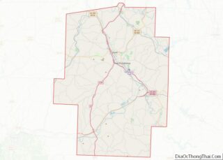
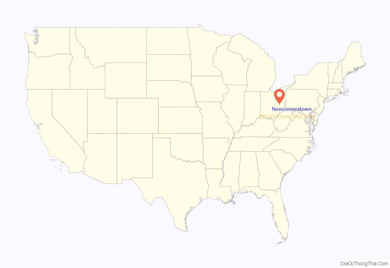
Newcomerstown location map. Where is Newcomerstown village?
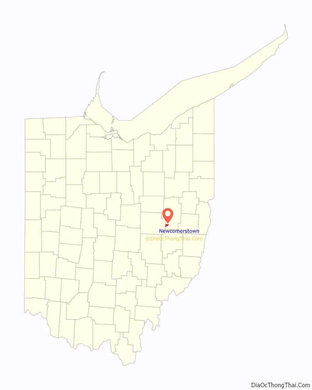
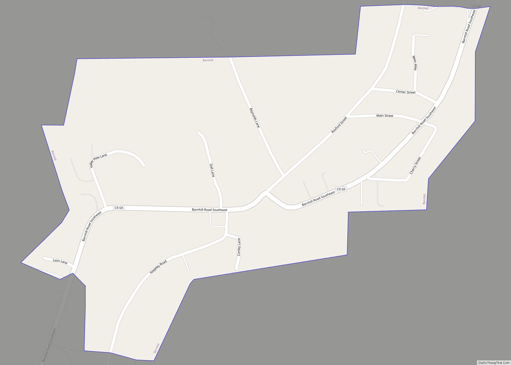
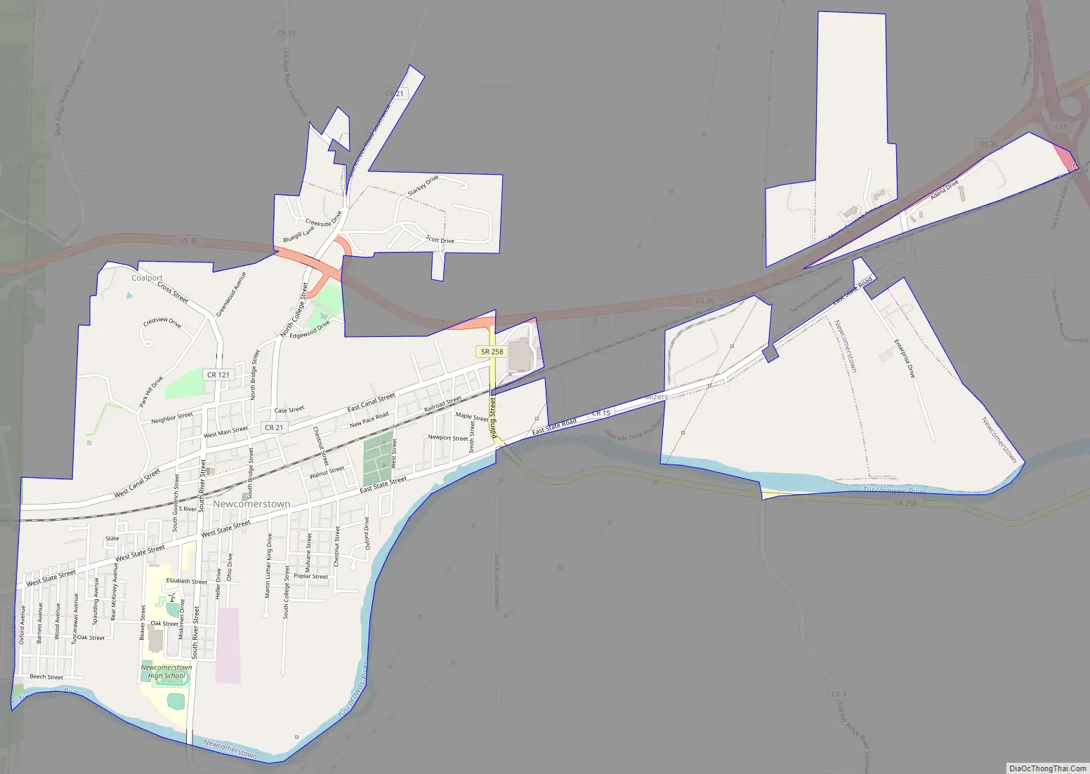
Newcomerstown Road Map
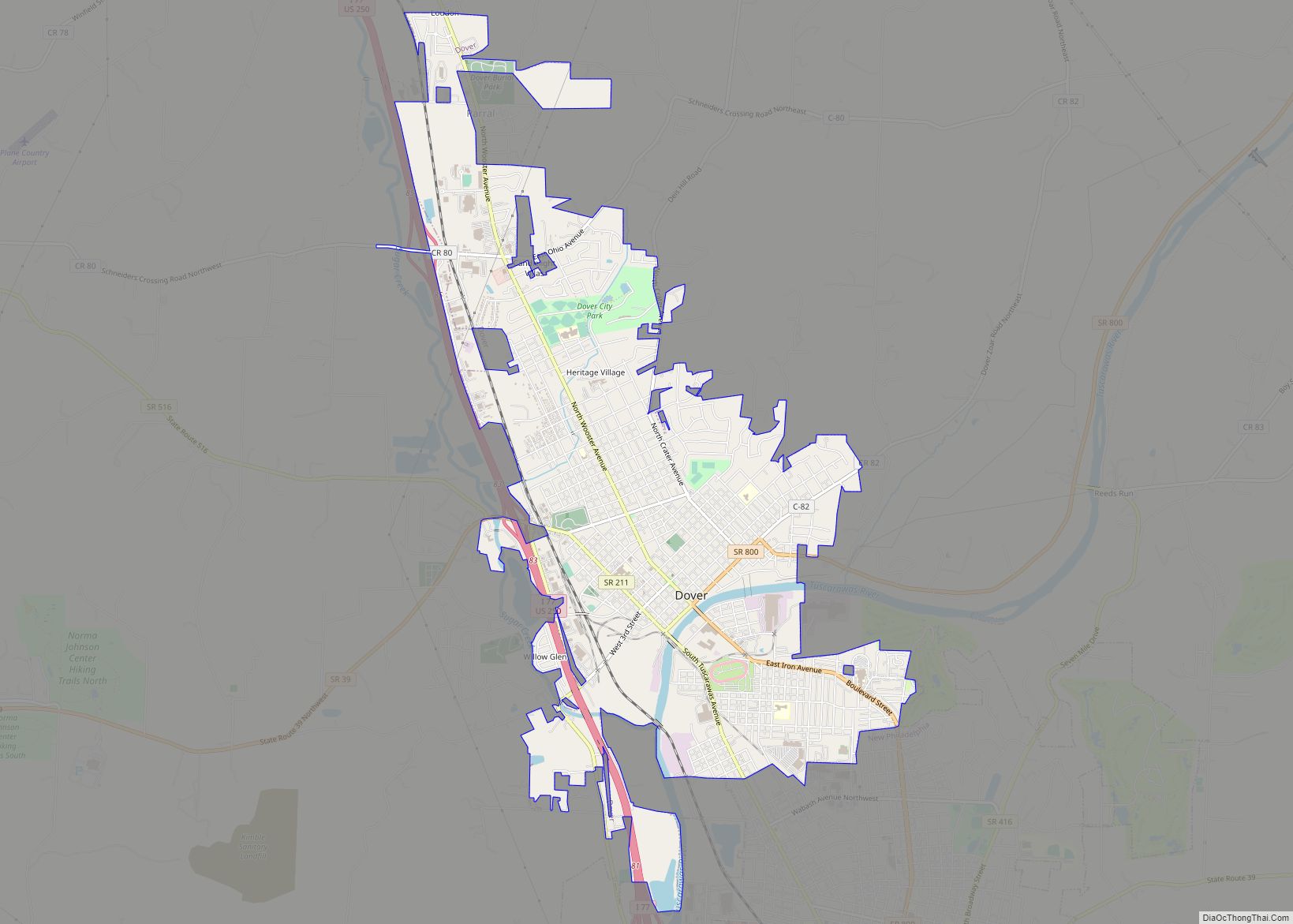
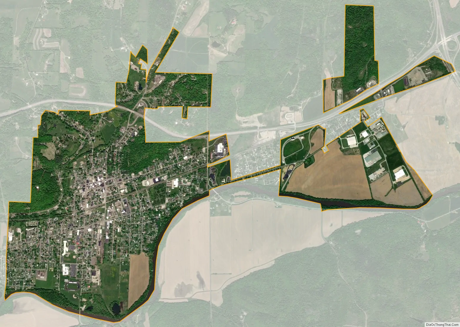
Newcomerstown city Satellite Map
Geography
Newcomerstown is located at 40°16′28″N 81°36′9″W / 40.27444°N 81.60250°W / 40.27444; -81.60250 (40.274350, -81.602482), along the Tuscarawas River.
According to the United States Census Bureau, the village has a total area of 2.94 square miles (7.61 km), of which 2.84 square miles (7.36 km) is land and 0.10 square miles (0.26 km) is water.
See also
Map of Ohio State and its subdivision:- Adams
- Allen
- Ashland
- Ashtabula
- Athens
- Auglaize
- Belmont
- Brown
- Butler
- Carroll
- Champaign
- Clark
- Clermont
- Clinton
- Columbiana
- Coshocton
- Crawford
- Cuyahoga
- Darke
- Defiance
- Delaware
- Erie
- Fairfield
- Fayette
- Franklin
- Fulton
- Gallia
- Geauga
- Greene
- Guernsey
- Hamilton
- Hancock
- Hardin
- Harrison
- Henry
- Highland
- Hocking
- Holmes
- Huron
- Jackson
- Jefferson
- Knox
- Lake
- Lake Erie
- Lawrence
- Licking
- Logan
- Lorain
- Lucas
- Madison
- Mahoning
- Marion
- Medina
- Meigs
- Mercer
- Miami
- Monroe
- Montgomery
- Morgan
- Morrow
- Muskingum
- Noble
- Ottawa
- Paulding
- Perry
- Pickaway
- Pike
- Portage
- Preble
- Putnam
- Richland
- Ross
- Sandusky
- Scioto
- Seneca
- Shelby
- Stark
- Summit
- Trumbull
- Tuscarawas
- Union
- Van Wert
- Vinton
- Warren
- Washington
- Wayne
- Williams
- Wood
- Wyandot
- Alabama
- Alaska
- Arizona
- Arkansas
- California
- Colorado
- Connecticut
- Delaware
- District of Columbia
- Florida
- Georgia
- Hawaii
- Idaho
- Illinois
- Indiana
- Iowa
- Kansas
- Kentucky
- Louisiana
- Maine
- Maryland
- Massachusetts
- Michigan
- Minnesota
- Mississippi
- Missouri
- Montana
- Nebraska
- Nevada
- New Hampshire
- New Jersey
- New Mexico
- New York
- North Carolina
- North Dakota
- Ohio
- Oklahoma
- Oregon
- Pennsylvania
- Rhode Island
- South Carolina
- South Dakota
- Tennessee
- Texas
- Utah
- Vermont
- Virginia
- Washington
- West Virginia
- Wisconsin
- Wyoming