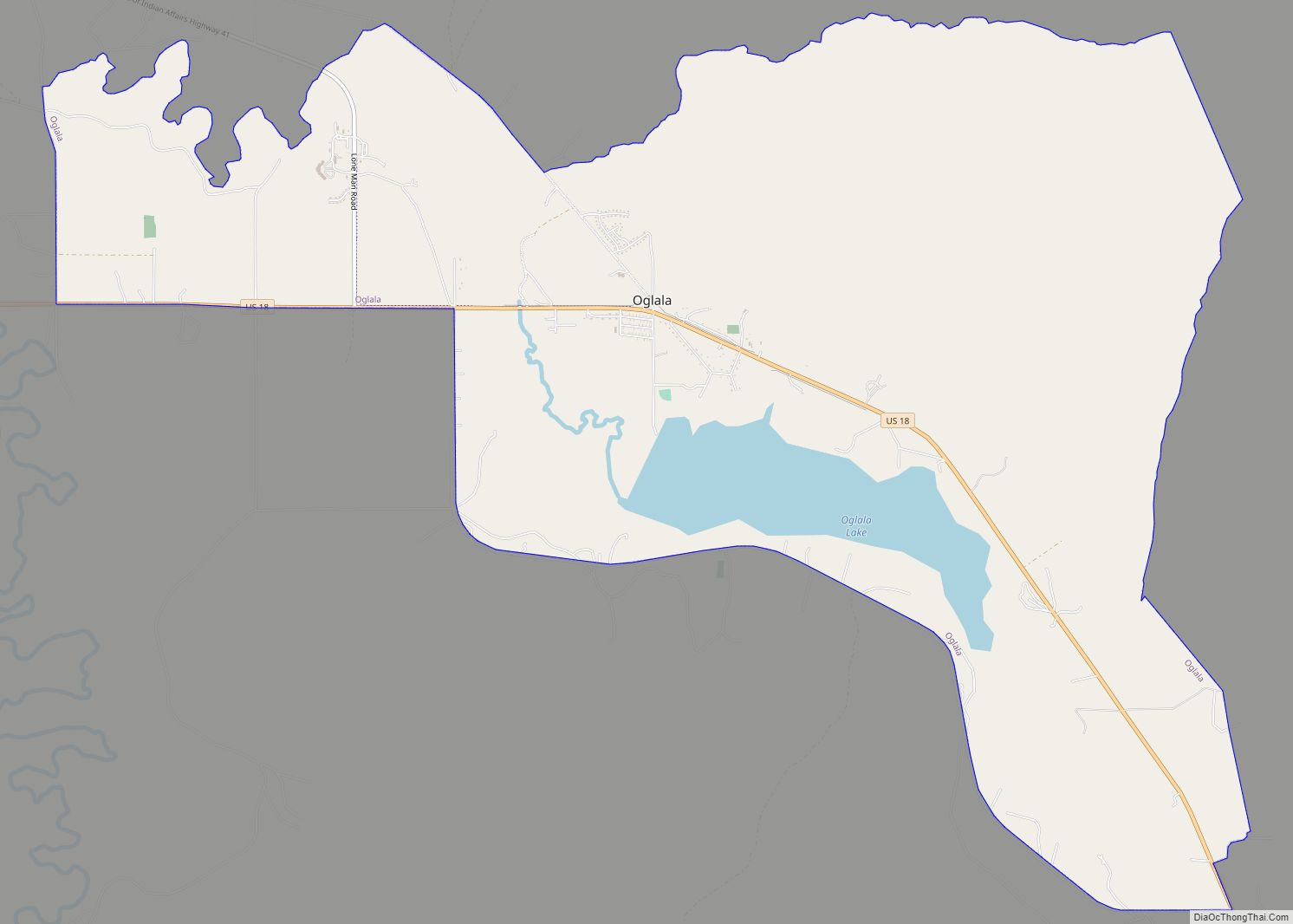
Oglala (Lakota: Oglála; “he scatters his own”) is a census-designated place (CDP) in West Oglala Lakota Unorganized Territory (civil township) equivalent, Oglala Lakota County, South Dakota, United States. The population was 1,282 at the 2020 census. Its location is in the northwest of the Pine Ridge Indian Reservation.
The community takes its name from the Oglala Lakota (also called the Oglala Sioux).
| Name: | Oglala CDP |
|---|---|
| LSAD Code: | 57 |
| LSAD Description: | CDP (suffix) |
| State: | South Dakota |
| County: | Oglala Lakota County |
| Elevation: | 2,995 ft (913 m) |
| Total Area: | 13.36 sq mi (34.61 km²) |
| Land Area: | 12.50 sq mi (32.38 km²) |
| Water Area: | 0.86 sq mi (2.22 km²) |
| Total Population: | 1,282 |
| Population Density: | 102.54/sq mi (39.59/km²) |
| ZIP code: | 57764 |
| Area code: | 605 |
| FIPS code: | 4646540 |
| GNISfeature ID: | 1261129 |
| Website: | www.lakotamall.com/oglalasiouxtribe/index.htm |
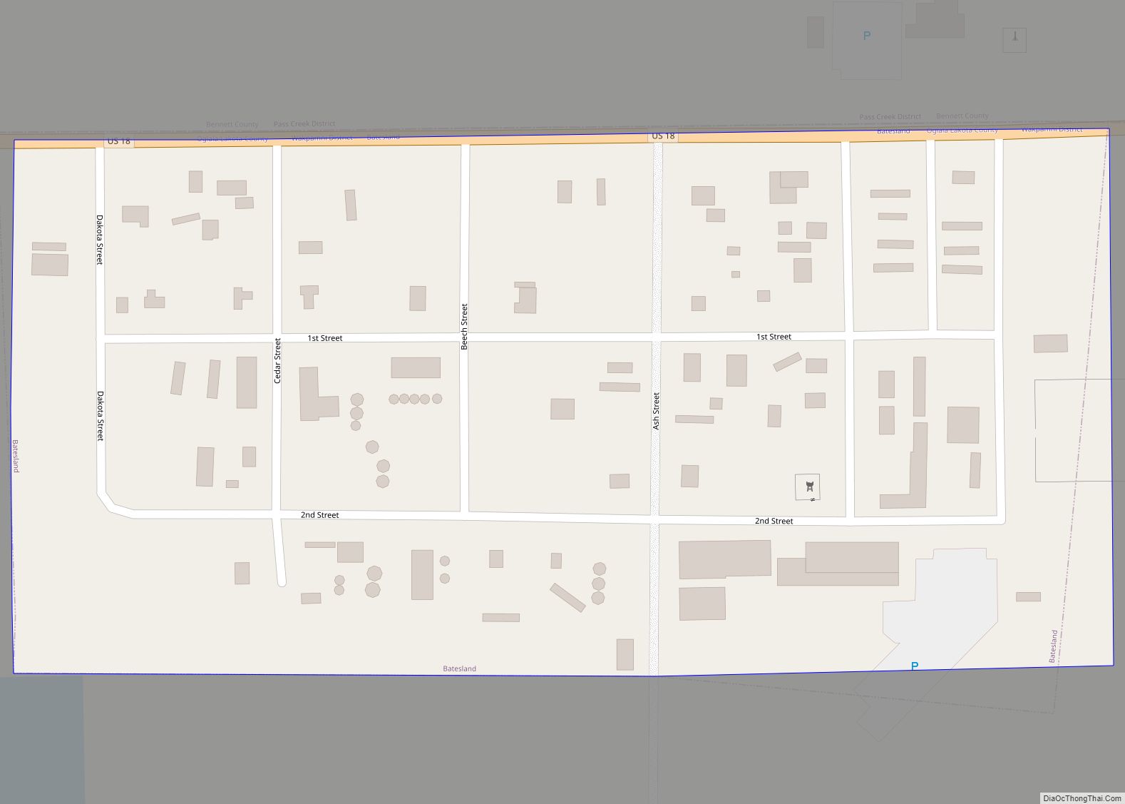
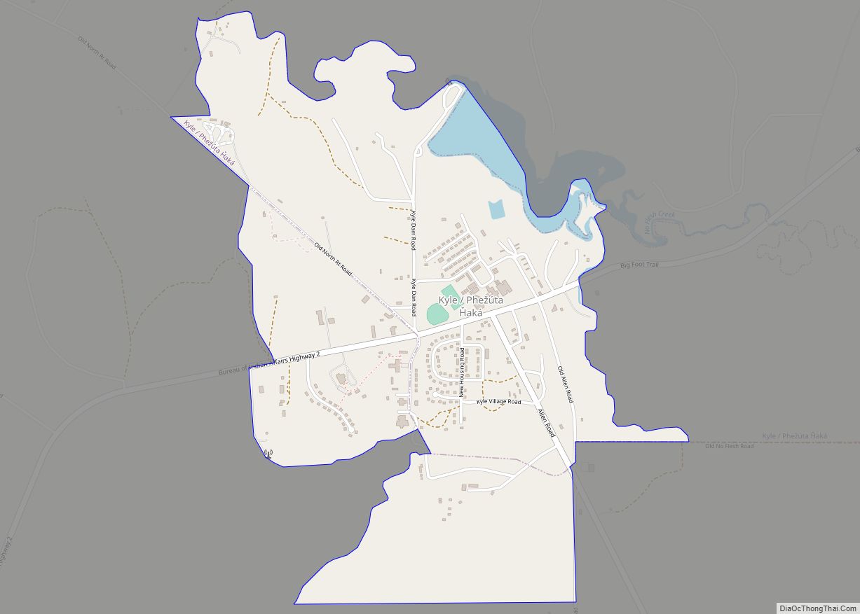
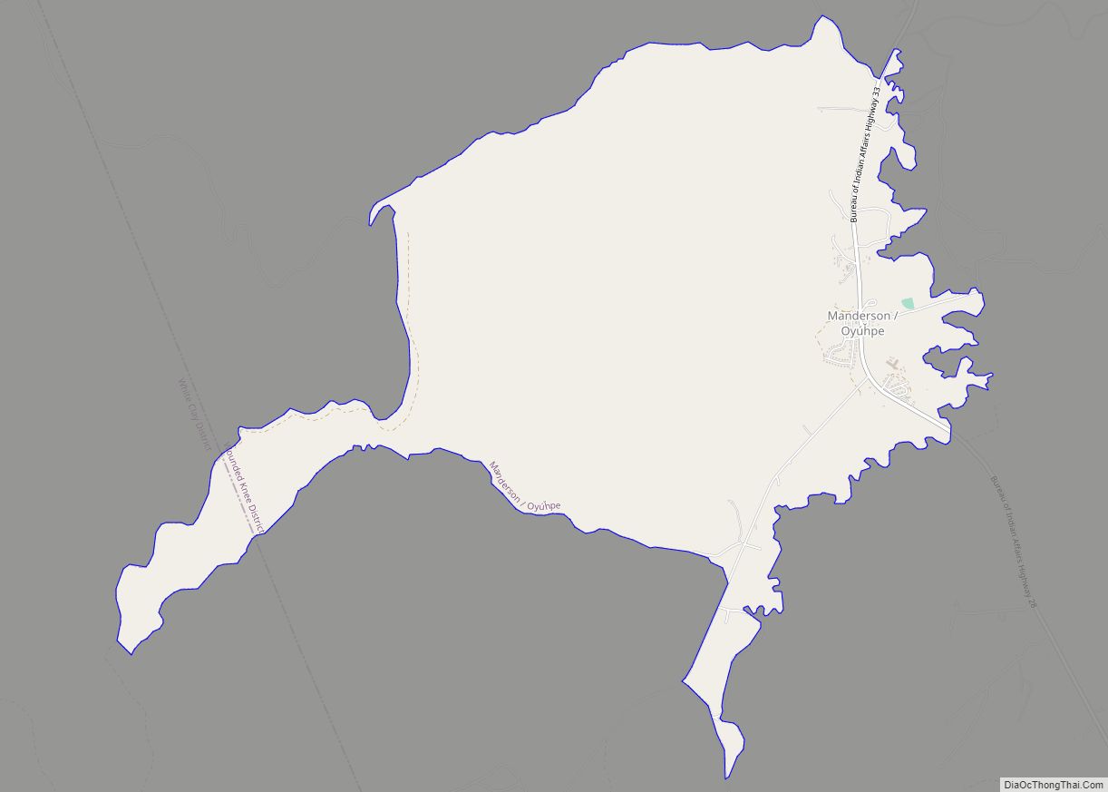
Online Interactive Map
Click on ![]() to view map in "full screen" mode.
to view map in "full screen" mode.
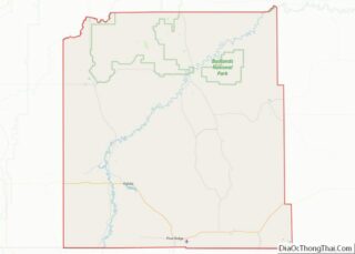
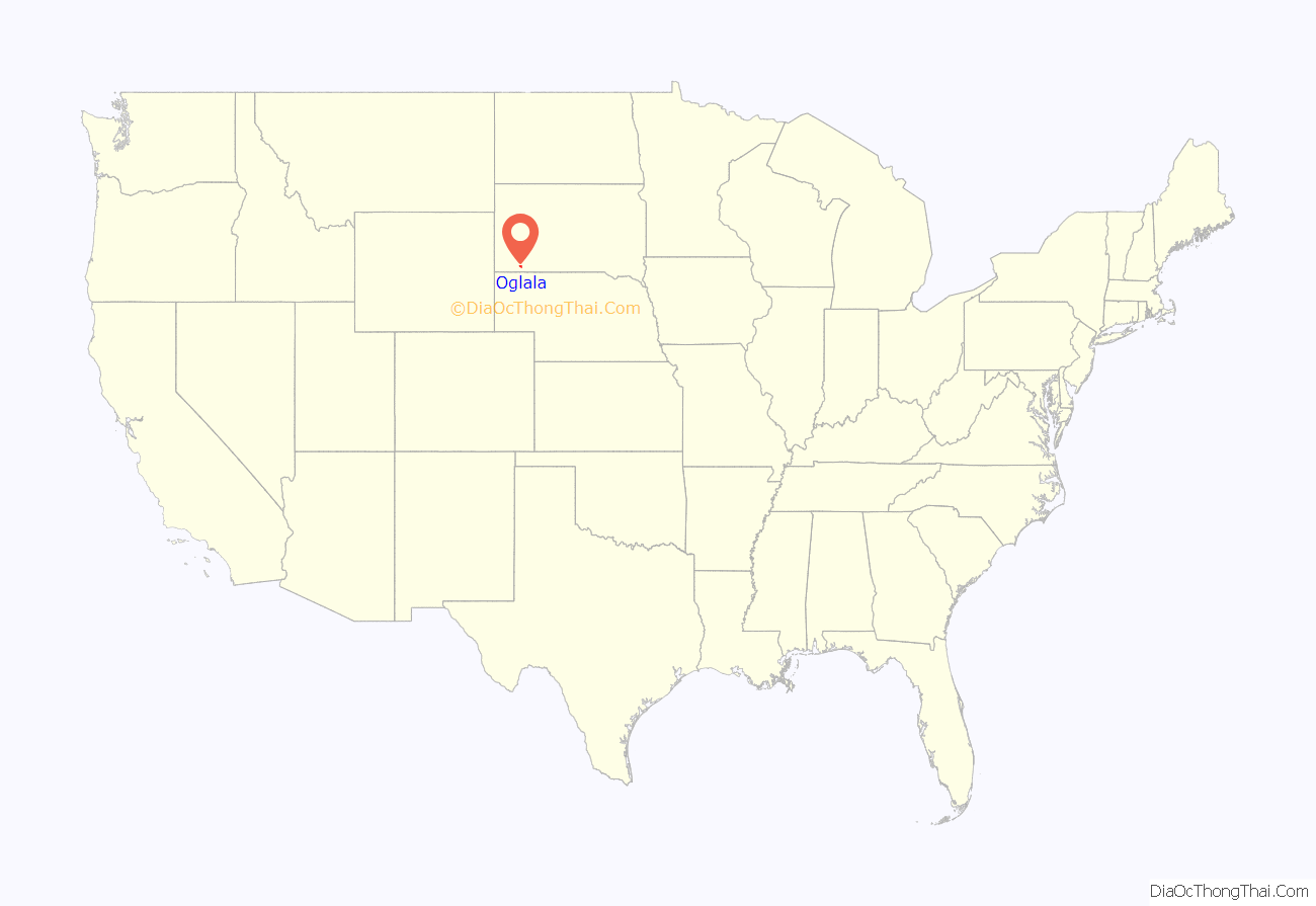
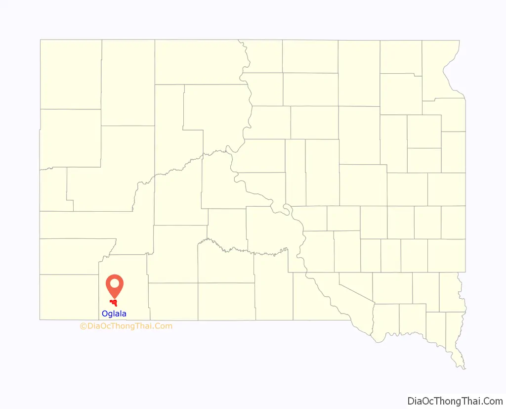
Oglala location map. Where is Oglala CDP?
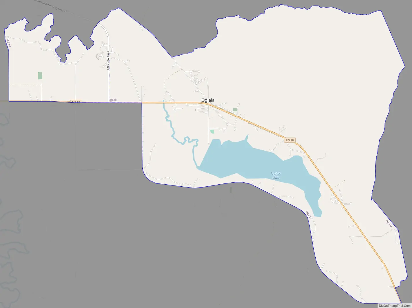
Oglala Road Map
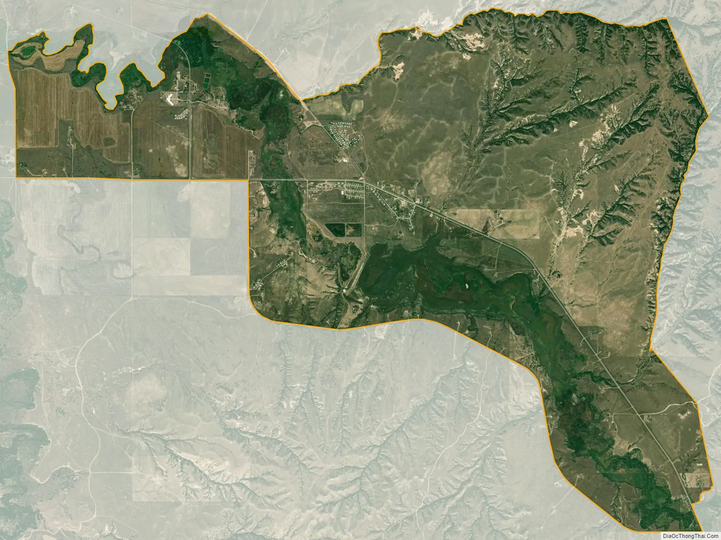
Oglala city Satellite Map
Geography
Oglala is located at 43°10′59″N 102°44′13″W / 43.18306°N 102.73694°W / 43.18306; -102.73694 (43.182978, -102.737078).
According to the United States Census Bureau, the CDP has a total area of 13.4 square miles (35 km), of which 12.5 square miles (32 km) is land and 0.9 square miles (2.3 km) (6.37%) is water. Oglala stands directly north of the Oglala Dam and its reservoir, Oglala Lake, completed in 1941.
Oglala has been assigned the ZIP code 57764.
See also
Map of South Dakota State and its subdivision:- Aurora
- Beadle
- Bennett
- Bon Homme
- Brookings
- Brown
- Brule
- Buffalo
- Butte
- Campbell
- Charles Mix
- Clark
- Clay
- Codington
- Corson
- Custer
- Davison
- Day
- Deuel
- Dewey
- Douglas
- Edmunds
- Fall River
- Faulk
- Grant
- Gregory
- Haakon
- Hamlin
- Hand
- Hanson
- Harding
- Hughes
- Hutchinson
- Hyde
- Jackson
- Jerauld
- Jones
- Kingsbury
- Lake
- Lawrence
- Lincoln
- Lyman
- Marshall
- McCook
- McPherson
- Meade
- Mellette
- Miner
- Minnehaha
- Moody
- Pennington
- Perkins
- Potter
- Roberts
- Sanborn
- Shannon
- Spink
- Stanley
- Sully
- Todd
- Tripp
- Turner
- Union
- Walworth
- Yankton
- Ziebach
- Alabama
- Alaska
- Arizona
- Arkansas
- California
- Colorado
- Connecticut
- Delaware
- District of Columbia
- Florida
- Georgia
- Hawaii
- Idaho
- Illinois
- Indiana
- Iowa
- Kansas
- Kentucky
- Louisiana
- Maine
- Maryland
- Massachusetts
- Michigan
- Minnesota
- Mississippi
- Missouri
- Montana
- Nebraska
- Nevada
- New Hampshire
- New Jersey
- New Mexico
- New York
- North Carolina
- North Dakota
- Ohio
- Oklahoma
- Oregon
- Pennsylvania
- Rhode Island
- South Carolina
- South Dakota
- Tennessee
- Texas
- Utah
- Vermont
- Virginia
- Washington
- West Virginia
- Wisconsin
- Wyoming