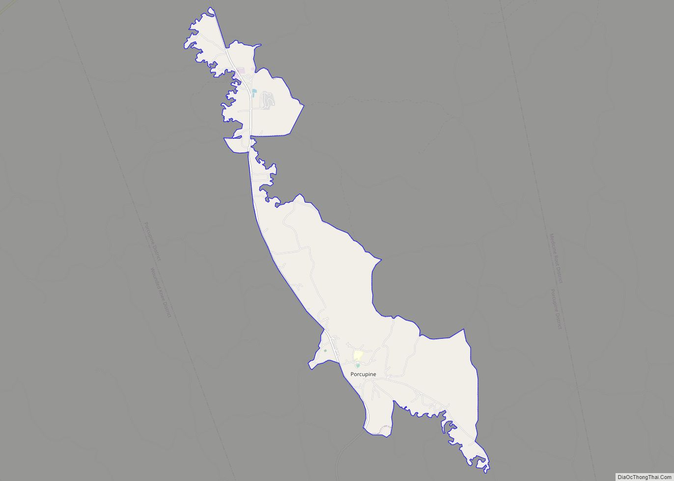
Porcupine (Lakota: pȟahíŋ siŋté; “porcupine tail”) is a census-designated place (CDP) in Oglala Lakota County, South Dakota, United States. The population was 925 at the 2020 census.
The community most likely was named after Porcupine Butte. Porcupine has been noted for its unusual place name, and for its designation as the unofficial capital of the unrecognized Republic of Lakotah.
| Name: | Porcupine CDP |
|---|---|
| LSAD Code: | 57 |
| LSAD Description: | CDP (suffix) |
| State: | South Dakota |
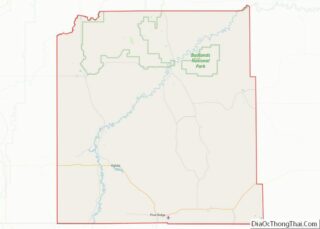
| County: | Oglala Lakota County |
| Elevation: | 3,192 ft (973 m) |
| Total Area: | 9.59 sq mi (24.83 km²) |
| Land Area: | 9.59 sq mi (24.83 km²) |
| Water Area: | 0.00 sq mi (0.00 km²) |
| Total Population: | 925 |
| Population Density: | 96.48/sq mi (37.25/km²) |
| ZIP code: | 57772 |
| Area code: | 605 |
| FIPS code: | 4651340 |
| GNISfeature ID: | 1257179 |
Online Interactive Map
Click on ![]() to view map in "full screen" mode.
to view map in "full screen" mode.
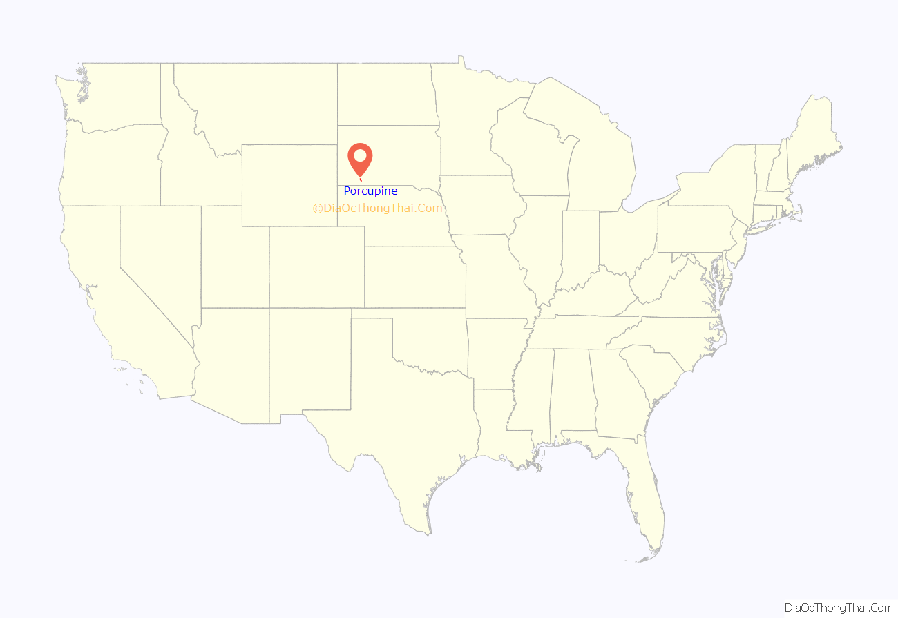
Porcupine location map. Where is Porcupine CDP?
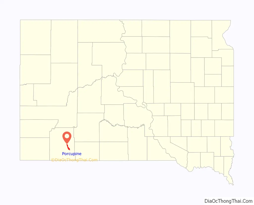
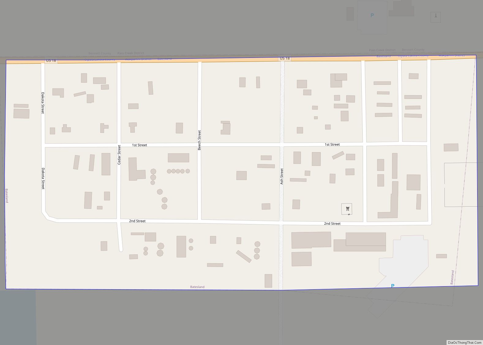
Porcupine Road Map
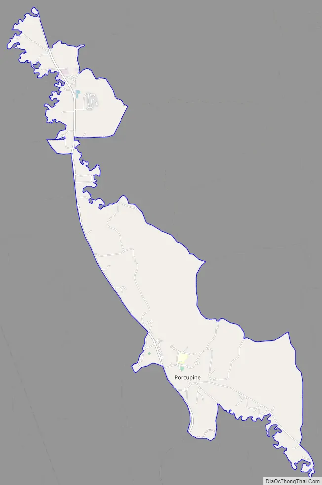
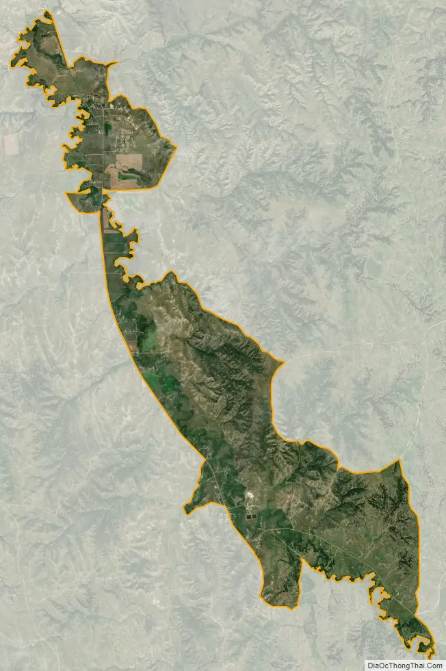
Porcupine city Satellite Map
Geography
Porcupine is located at 43°15′45″N 102°20′52″W / 43.26250°N 102.34778°W / 43.26250; -102.34778 (43.262380, -102.347660).
According to the United States Census Bureau, the CDP has a total area of 9.5 square miles (24.6 km), all land.
Porcupine has been assigned the ZIP code 57772.
Porcupine is also the unofficial capital of the unrecognized Republic of Lakotah.
See also
Map of South Dakota State and its subdivision:- Aurora
- Beadle
- Bennett
- Bon Homme
- Brookings
- Brown
- Brule
- Buffalo
- Butte
- Campbell
- Charles Mix
- Clark
- Clay
- Codington
- Corson
- Custer
- Davison
- Day
- Deuel
- Dewey
- Douglas
- Edmunds
- Fall River
- Faulk
- Grant
- Gregory
- Haakon
- Hamlin
- Hand
- Hanson
- Harding
- Hughes
- Hutchinson
- Hyde
- Jackson
- Jerauld
- Jones
- Kingsbury
- Lake
- Lawrence
- Lincoln
- Lyman
- Marshall
- McCook
- McPherson
- Meade
- Mellette
- Miner
- Minnehaha
- Moody
- Pennington
- Perkins
- Potter
- Roberts
- Sanborn
- Shannon
- Spink
- Stanley
- Sully
- Todd
- Tripp
- Turner
- Union
- Walworth
- Yankton
- Ziebach
- Alabama
- Alaska
- Arizona
- Arkansas
- California
- Colorado
- Connecticut
- Delaware
- District of Columbia
- Florida
- Georgia
- Hawaii
- Idaho
- Illinois
- Indiana
- Iowa
- Kansas
- Kentucky
- Louisiana
- Maine
- Maryland
- Massachusetts
- Michigan
- Minnesota
- Mississippi
- Missouri
- Montana
- Nebraska
- Nevada
- New Hampshire
- New Jersey
- New Mexico
- New York
- North Carolina
- North Dakota
- Ohio
- Oklahoma
- Oregon
- Pennsylvania
- Rhode Island
- South Carolina
- South Dakota
- Tennessee
- Texas
- Utah
- Vermont
- Virginia
- Washington
- West Virginia
- Wisconsin
- Wyoming