River Hills is a village in Milwaukee County, Wisconsin, United States. The population was 1,597 at the 2010 census.
| Name: | River Hills village |
|---|---|
| LSAD Code: | 47 |
| LSAD Description: | village (suffix) |
| State: | Wisconsin |
| County: | Milwaukee County |
| Incorporated: | 1930; 93 years ago (1930) |
| Elevation: | 709 ft (216 m) |
| Total Area: | 5.33 sq mi (13.81 km²) |
| Land Area: | 5.16 sq mi (13.35 km²) |
| Water Area: | 0.17 sq mi (0.45 km²) |
| Total Population: | 1,597 |
| Population Density: | 305.47/sq mi (117.95/km²) |
| Area code: | 414 |
| FIPS code: | 5568325 |
| GNISfeature ID: | 1572350 |
| Website: | www.riverhillswi.com |
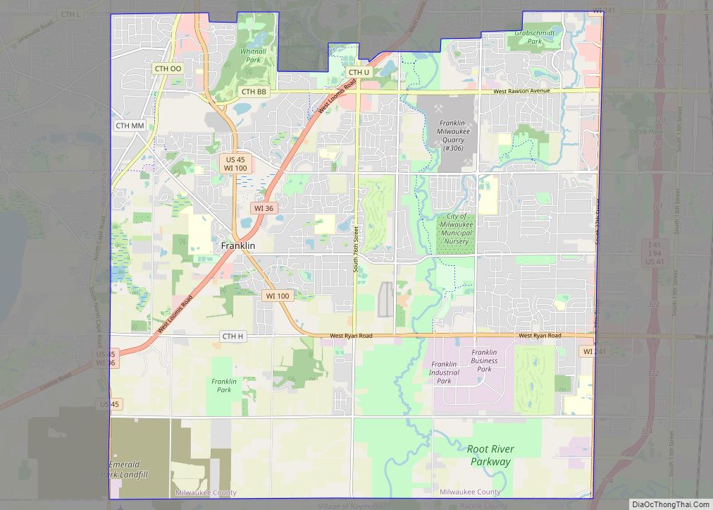
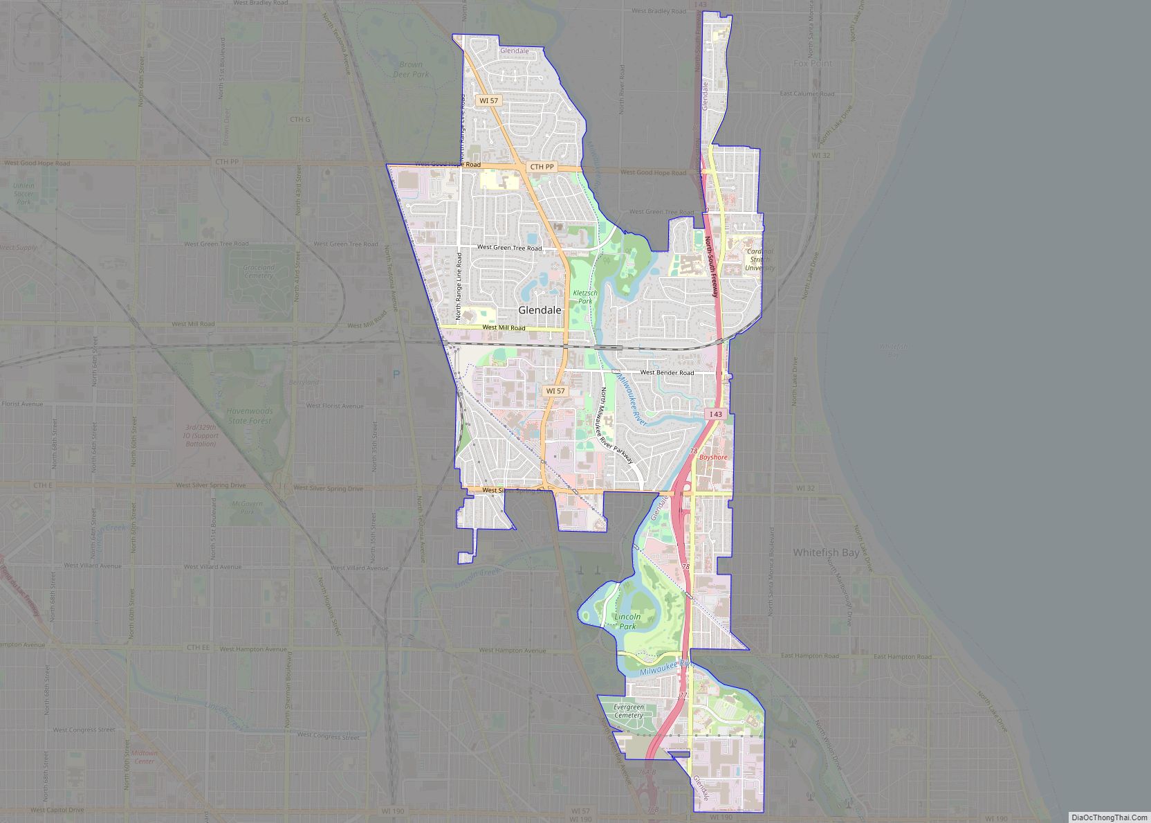
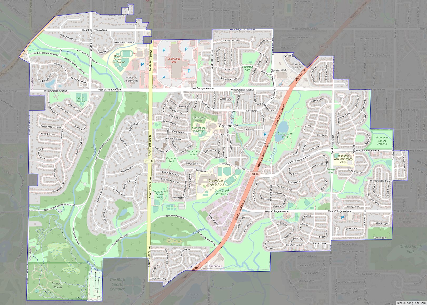
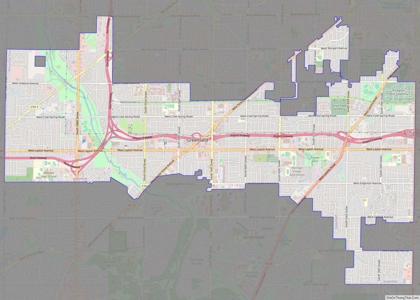
Online Interactive Map
Click on ![]() to view map in "full screen" mode.
to view map in "full screen" mode.
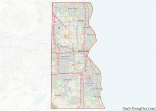
River Hills location map. Where is River Hills village?


History
In the early 19th century, the River Hills area was controlled by Native Americans, including the Menominee, Potawatomi, and Sauk people. The Menominee surrendered the land east of the Milwaukee River to the United States Federal Government through the Treaty of Washington in 1832. In 1833, the Potawatomi surrendered the land west of the river by signing the 1833 Treaty of Chicago, which (after being ratified in 1835) required them to leave Wisconsin by 1838. The land was organized as part of the Town of Milwaukee in 1835, and much of the land was bought by land speculators, who cleared the old-growth forests for timber. The first permanent white settlers were Joel and Cephas Buttles. The latter owned 160 acres in River Hills and built a cabin in 1843. In the mid-1840s, many families of Dutch settlers began arriving in the Town of Milwaukee to farm the land, but by the 1870s most of the residents were German farmers. The community was primarily agricultural until the 1920s.
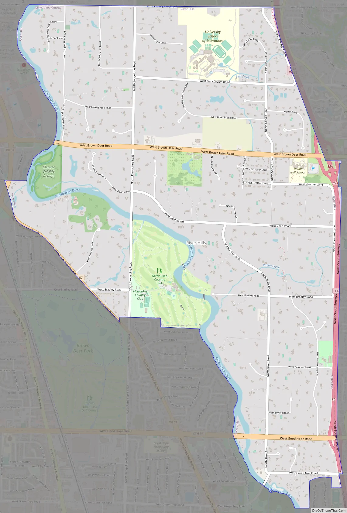
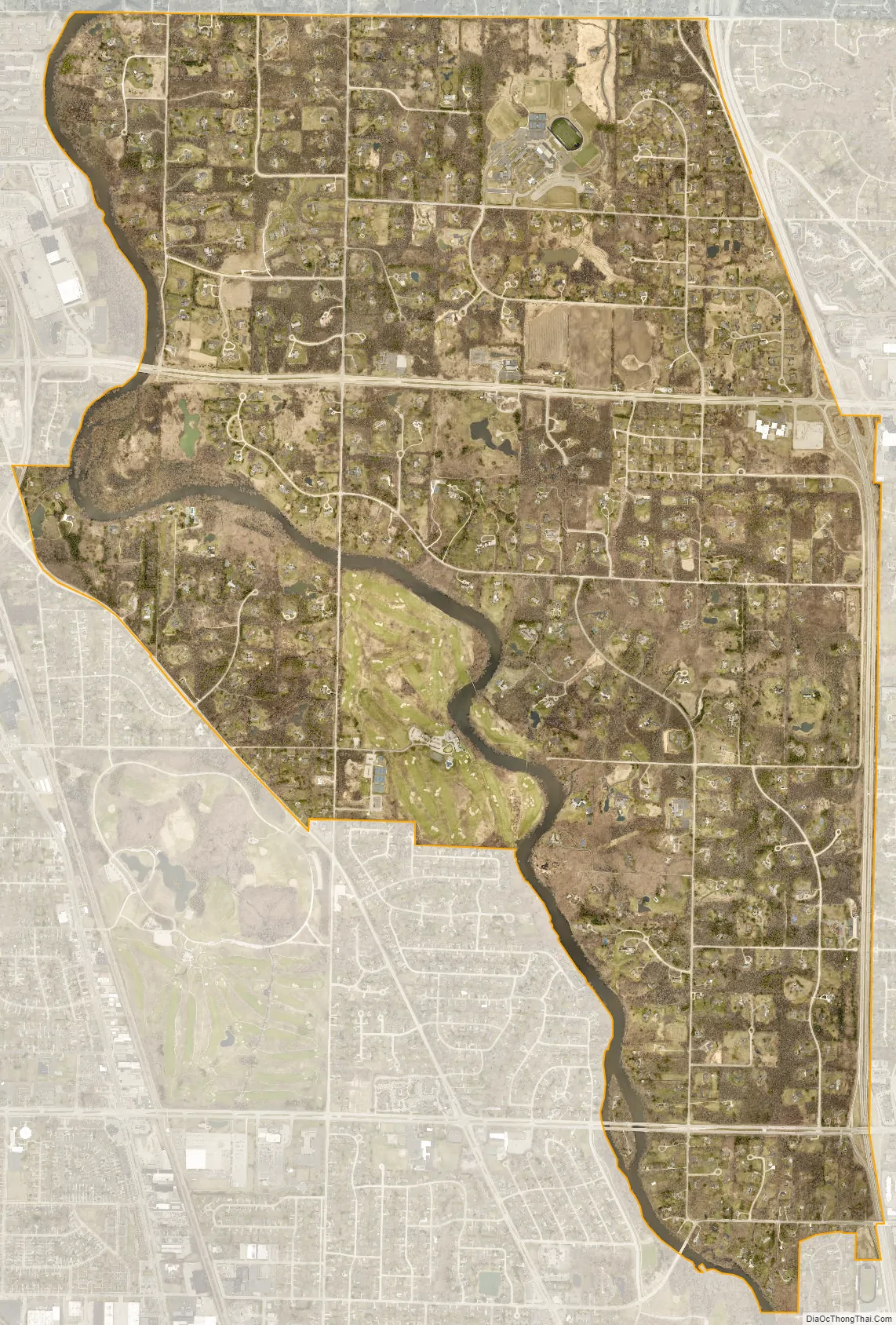
In 1911, the Milwaukee Country Club relocated from Shorewood to a site on the western bank of the Milwaukee River in present-day River Hills. The club includes a golf course, and also organized polo matches fox hunts as late as the 1960s. In the 1920s, many wealthy Milwaukee families built summer estates on multi-acre plots near the county club, which served as the community’s social center. The wealthy residents were often at odds with the neighboring farms of the Town of Milwaukee, and in 1930 they incorporated River Hills as a village with carefully crafted zoning laws, requiring that houses be built on lots at least one acre in size and banning commercial and industrial from the municipal boundaries. River Hills is the only community in Milwaukee County that is zoned one-hundred percent residential, and eighty-five percent of residential lots are over five acres. The only properties that are not private residences are the country club, the Lynden Sculpture Garden, several churches and synagogues, a public elementary school, and the campus of the private University School of Milwaukee. From 1956 until 1971, the village was also home to a Nike missile silo.
River Hills Road Map
River Hills city Satellite Map
Geography
River Hills is located at 43°9′55″N 87°55′57″W / 43.16528°N 87.93250°W / 43.16528; -87.93250 (43.165142, -87.932566).
According to the United States Census Bureau, the village has a total area of 5.31 square miles (13.75 km), of which, 5.13 square miles (13.29 km) of it is land and 0.18 square miles (0.47 km) is water.
See also
Map of Wisconsin State and its subdivision:- Adams
- Ashland
- Barron
- Bayfield
- Brown
- Buffalo
- Burnett
- Calumet
- Chippewa
- Clark
- Columbia
- Crawford
- Dane
- Dodge
- Door
- Douglas
- Dunn
- Eau Claire
- Florence
- Fond du Lac
- Forest
- Grant
- Green
- Green Lake
- Iowa
- Iron
- Jackson
- Jefferson
- Juneau
- Kenosha
- Kewaunee
- La Crosse
- Lafayette
- Lake Michigan
- Lake Superior
- Langlade
- Lincoln
- Manitowoc
- Marathon
- Marinette
- Marquette
- Menominee
- Milwaukee
- Monroe
- Oconto
- Oneida
- Outagamie
- Ozaukee
- Pepin
- Pierce
- Polk
- Portage
- Price
- Racine
- Richland
- Rock
- Rusk
- Saint Croix
- Sauk
- Sawyer
- Shawano
- Sheboygan
- Taylor
- Trempealeau
- Vernon
- Vilas
- Walworth
- Washburn
- Washington
- Waukesha
- Waupaca
- Waushara
- Winnebago
- Wood
- Alabama
- Alaska
- Arizona
- Arkansas
- California
- Colorado
- Connecticut
- Delaware
- District of Columbia
- Florida
- Georgia
- Hawaii
- Idaho
- Illinois
- Indiana
- Iowa
- Kansas
- Kentucky
- Louisiana
- Maine
- Maryland
- Massachusetts
- Michigan
- Minnesota
- Mississippi
- Missouri
- Montana
- Nebraska
- Nevada
- New Hampshire
- New Jersey
- New Mexico
- New York
- North Carolina
- North Dakota
- Ohio
- Oklahoma
- Oregon
- Pennsylvania
- Rhode Island
- South Carolina
- South Dakota
- Tennessee
- Texas
- Utah
- Vermont
- Virginia
- Washington
- West Virginia
- Wisconsin
- Wyoming