St. Francis is a city in Milwaukee County, Wisconsin, United States. The population was 9,161 at the 2020 census.
| Name: | St. Francis city |
|---|---|
| LSAD Code: | 25 |
| LSAD Description: | city (suffix) |
| State: | Wisconsin |
| County: | Milwaukee County |
| Incorporated: | July 25, 1951; 71 years ago (1951-07-25) |
| Elevation: | 692 ft (211 m) |
| Total Area: | 2.57 sq mi (6.65 km²) |
| Land Area: | 2.57 sq mi (6.65 km²) |
| Water Area: | 0.00 sq mi (0.00 km²) |
| Total Population: | 9,161 |
| Population Density: | 3,776.87/sq mi (1,458.51/km²) |
| ZIP code: | 53235 |
| Area code: | 414 |
| FIPS code: | 5570650 |
| GNISfeature ID: | 1572924 |
| Website: | http://www.stfranciswi.org |
Online Interactive Map
Click on ![]() to view map in "full screen" mode.
to view map in "full screen" mode.
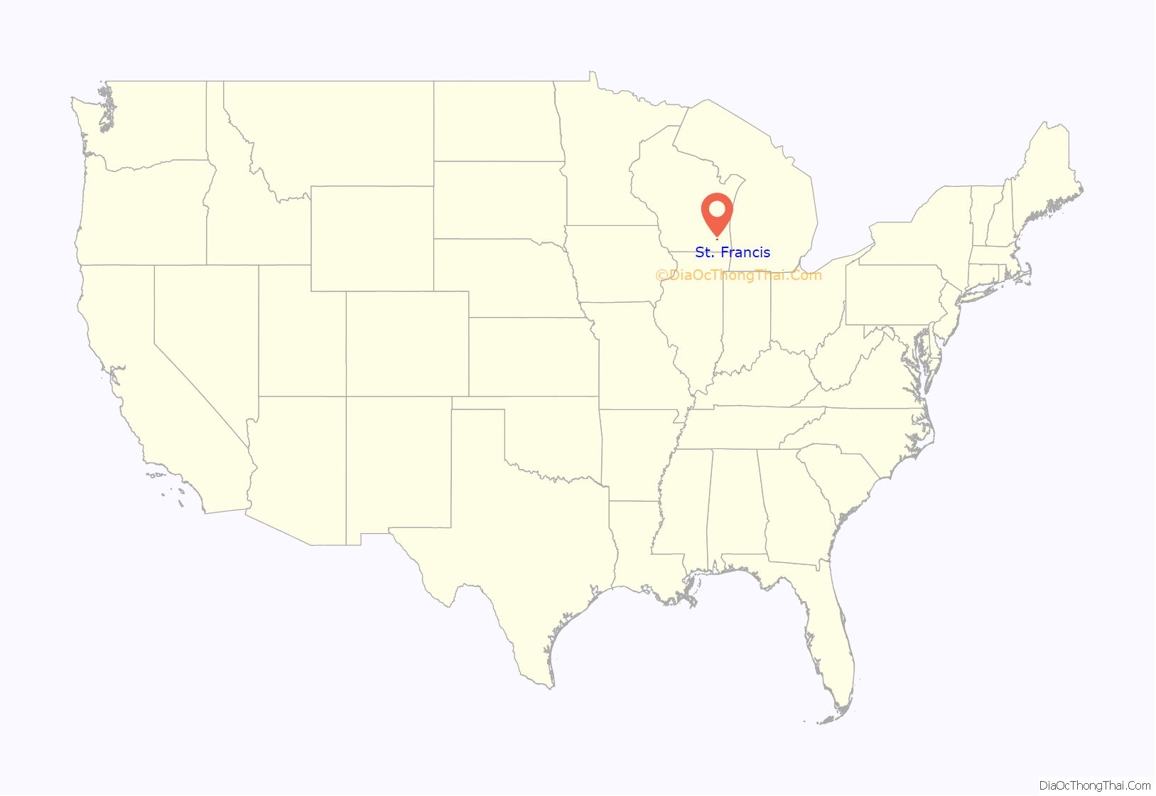
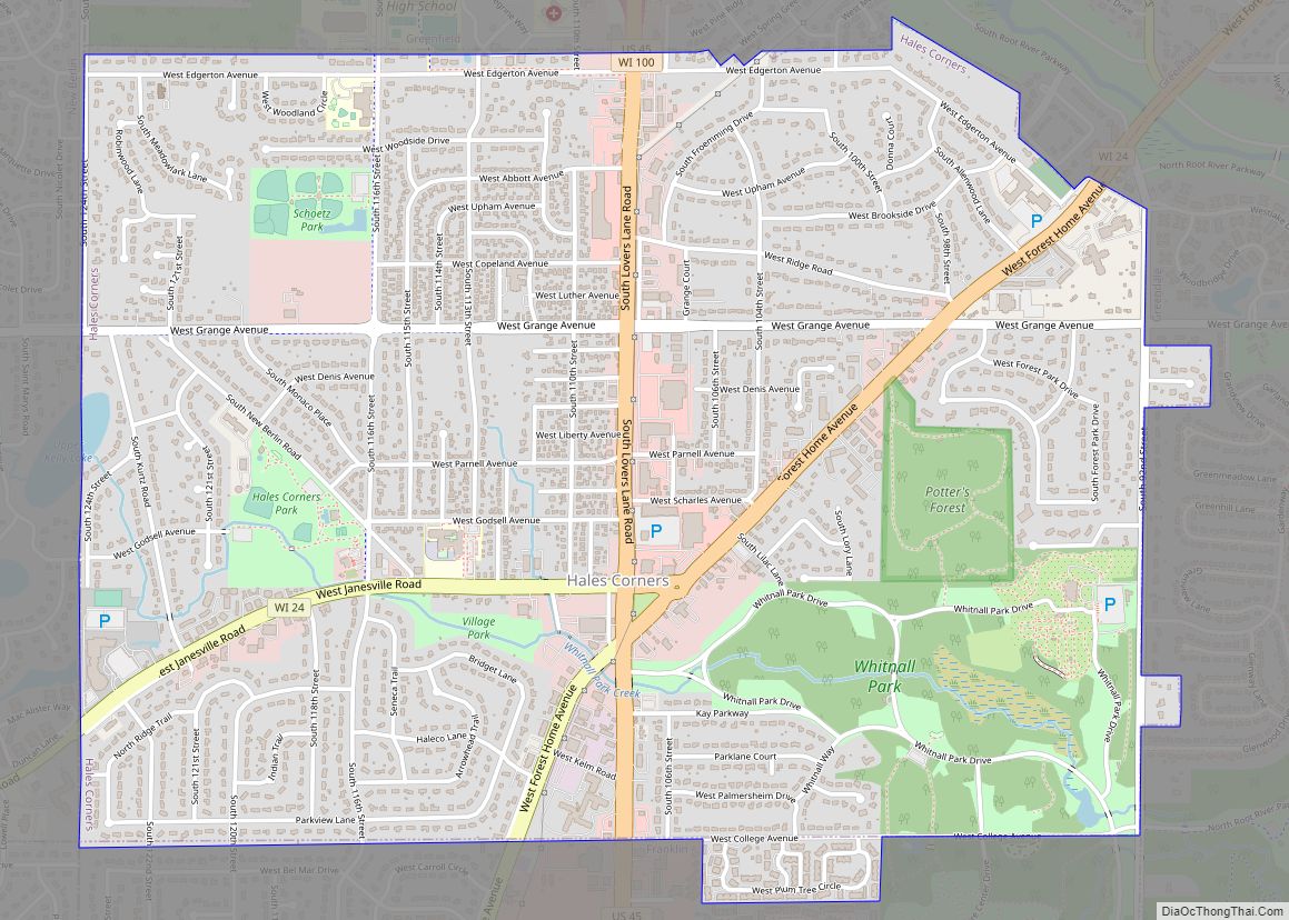
St. Francis location map. Where is St. Francis city?
History
The area that is now St. Francis was known as “Nojoshing” by local Native Americans at the time that the first white settlers arrived. St. Francis Seminary was established in what is now the city in 1845. The Sisters of St. Francis of Assisi established their headquarters there in the mid-19th century.
Historically, what is now the city of St. Francis was part of the Town of Lake. As large parts of the Town of Lake were gradually being annexed into the city of Milwaukee, residents in the St. Francis area sought to incorporate their community to prevent this from happening to them. A movement to split St. Francis off from the rest of the Town of Lake as a city existed as early as the 1920s, but faced resistance from residents of the rest of the town. Ultimately, the residents successfully voted to incorporate on July 24, 1951, and the result was certified the next day. The rest of the Town of Lake was annexed into Milwaukee in 1954.
The city took its name from St. Francis Seminary, founded by Archbishop John Henni, the first Archbishop of Milwaukee, who placed it under the patronage of Francis de Sales, the first Catholic bishop of Switzerland after the Swiss Reformation.
St. Francis Road Map
St. Francis city Satellite Map
Geography
St. Francis is located at 42°58′11″N 87°52′36″W / 42.96972°N 87.87667°W / 42.96972; -87.87667 (42.969615, -87.876745).
According to the United States Census Bureau, the city has a total area of 2.55 square miles (6.60 km), all of it land.
The city is located directly south and east of the City of Milwaukee, directly west of Lake Michigan, and directly north of Cudahy, Wisconsin. Milwaukee’s primary airport, Milwaukee Mitchell International Airport, is bordered on one side by St. Francis.
See also
Map of Wisconsin State and its subdivision:- Adams
- Ashland
- Barron
- Bayfield
- Brown
- Buffalo
- Burnett
- Calumet
- Chippewa
- Clark
- Columbia
- Crawford
- Dane
- Dodge
- Door
- Douglas
- Dunn
- Eau Claire
- Florence
- Fond du Lac
- Forest
- Grant
- Green
- Green Lake
- Iowa
- Iron
- Jackson
- Jefferson
- Juneau
- Kenosha
- Kewaunee
- La Crosse
- Lafayette
- Lake Michigan
- Lake Superior
- Langlade
- Lincoln
- Manitowoc
- Marathon
- Marinette
- Marquette
- Menominee
- Milwaukee
- Monroe
- Oconto
- Oneida
- Outagamie
- Ozaukee
- Pepin
- Pierce
- Polk
- Portage
- Price
- Racine
- Richland
- Rock
- Rusk
- Saint Croix
- Sauk
- Sawyer
- Shawano
- Sheboygan
- Taylor
- Trempealeau
- Vernon
- Vilas
- Walworth
- Washburn
- Washington
- Waukesha
- Waupaca
- Waushara
- Winnebago
- Wood
- Alabama
- Alaska
- Arizona
- Arkansas
- California
- Colorado
- Connecticut
- Delaware
- District of Columbia
- Florida
- Georgia
- Hawaii
- Idaho
- Illinois
- Indiana
- Iowa
- Kansas
- Kentucky
- Louisiana
- Maine
- Maryland
- Massachusetts
- Michigan
- Minnesota
- Mississippi
- Missouri
- Montana
- Nebraska
- Nevada
- New Hampshire
- New Jersey
- New Mexico
- New York
- North Carolina
- North Dakota
- Ohio
- Oklahoma
- Oregon
- Pennsylvania
- Rhode Island
- South Carolina
- South Dakota
- Tennessee
- Texas
- Utah
- Vermont
- Virginia
- Washington
- West Virginia
- Wisconsin
- Wyoming
