Ashford is a town in Houston County, Alabama, United States. It is part of the Dothan, Alabama Metropolitan Statistical Area. The town was incorporated in June 1891. For most of its history, it was a center for naval stores production, pulpwood harvesting, and cotton agriculture. The population was 2,148 at the 2010 census, up from 1,853 at the 2000 census.
| Name: | Ashford town |
|---|---|
| LSAD Code: | 43 |
| LSAD Description: | town (suffix) |
| State: | Alabama |
| County: | Houston County |
| Elevation: | 279 ft (85 m) |
| Total Area: | 6.22 sq mi (16.12 km²) |
| Land Area: | 6.20 sq mi (16.06 km²) |
| Water Area: | 0.02 sq mi (0.06 km²) |
| Total Population: | 2,246 |
| Population Density: | 362.14/sq mi (139.81/km²) |
| ZIP code: | 36312 |
| Area code: | 334 |
| FIPS code: | 0102836 |
| GNISfeature ID: | 0113251 |
| Website: | www.cityofashford.com |
Online Interactive Map
Click on ![]() to view map in "full screen" mode.
to view map in "full screen" mode.
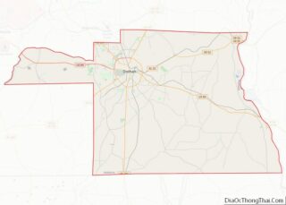
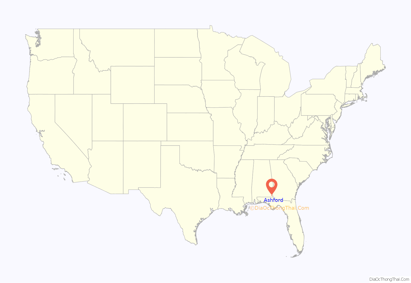
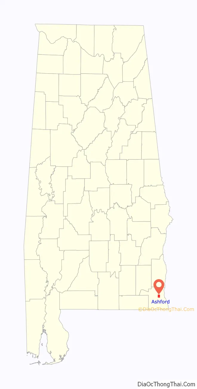
Ashford location map. Where is Ashford town?
History
In March 1888, the Alabama Midland Railway built a small depot of Victorian railroad architecture in Ashford to be a waystation along the Bainbridge-to-Montgomery route. The depot was the only building to survive the 1915 fire that destroyed the rest of the town. The original depot received additions at least twice—an enclosed warehouse and open loading dock were added to the east, followed by racially segregated passenger waiting rooms on the west side. The depot faced two sidings that served for loading turpentine from the Adams Company still one block away, and pulpwood. Cotton bales, fertilizer, and a single sweet potato crop were loaded from both sidings.
The depot changed hands as railroads consolidated. The Alabama Midland was absorbed by the Atlantic Coast Line, which merged in the 1980s with the Seaboard Air Line to form the Seaboard Coast Line. CSX Transportation later bought the Seaboard Coast Line. Ashford Depot had fallen into disrepair after it closed in 1978. In the 1980s, concerned citizens founded a preservation committee, led by Jimmy Burgess, and received a grant to add a new roof to the building. This committee also placed the depot on the Alabama Register of Historical Places. It remained active into the 1990s. Former Mayor Bryan Alloway revived the depot preservation committee after his 2000 election. This committee planned to incorporate and seek tax-exempt status in 2005. It received two US Department of Transportation grants ($850,000), two Alabama Department of Economic and Community Affairs grants ($290,000), and one Alabama Resource Conservation & Development (RC&D) grant ($7500) to thoroughly renovate the depot. Construction began in fall 2004. The committee and Ashford City officials held a ribbon-cutting ceremony on November 17, 2005, to mark the end of Phase I of the reconstruction. Now the depot can be used for reunions, birthdays, and social events that the city might sponsor.
On October 10, 2018, Hurricane Michael’s western eye wall passed thru the City of Ashford causing major damage and left 100% of the city without power. No injuries or fatalities were associated with the storm.
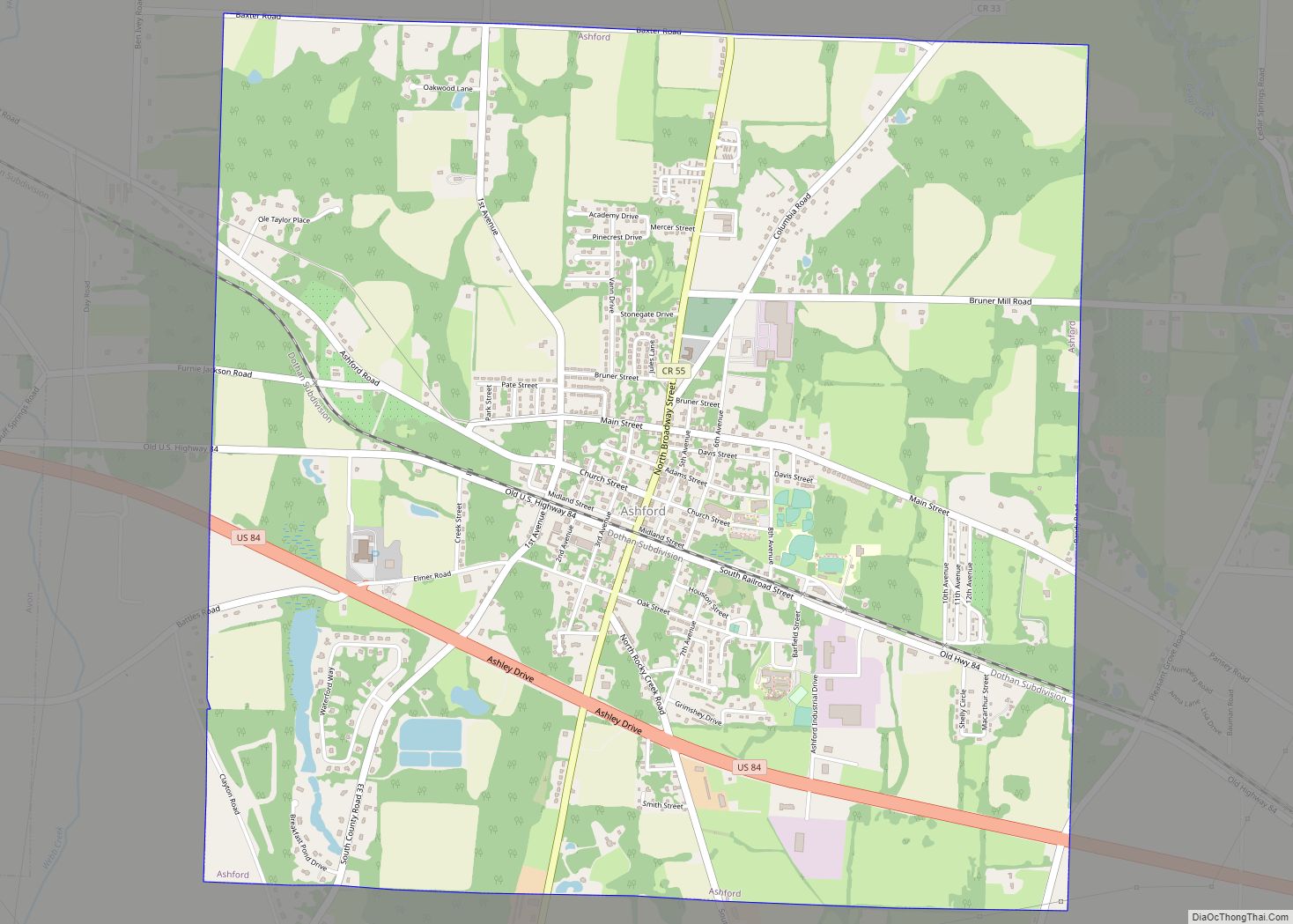
Ashford Road Map
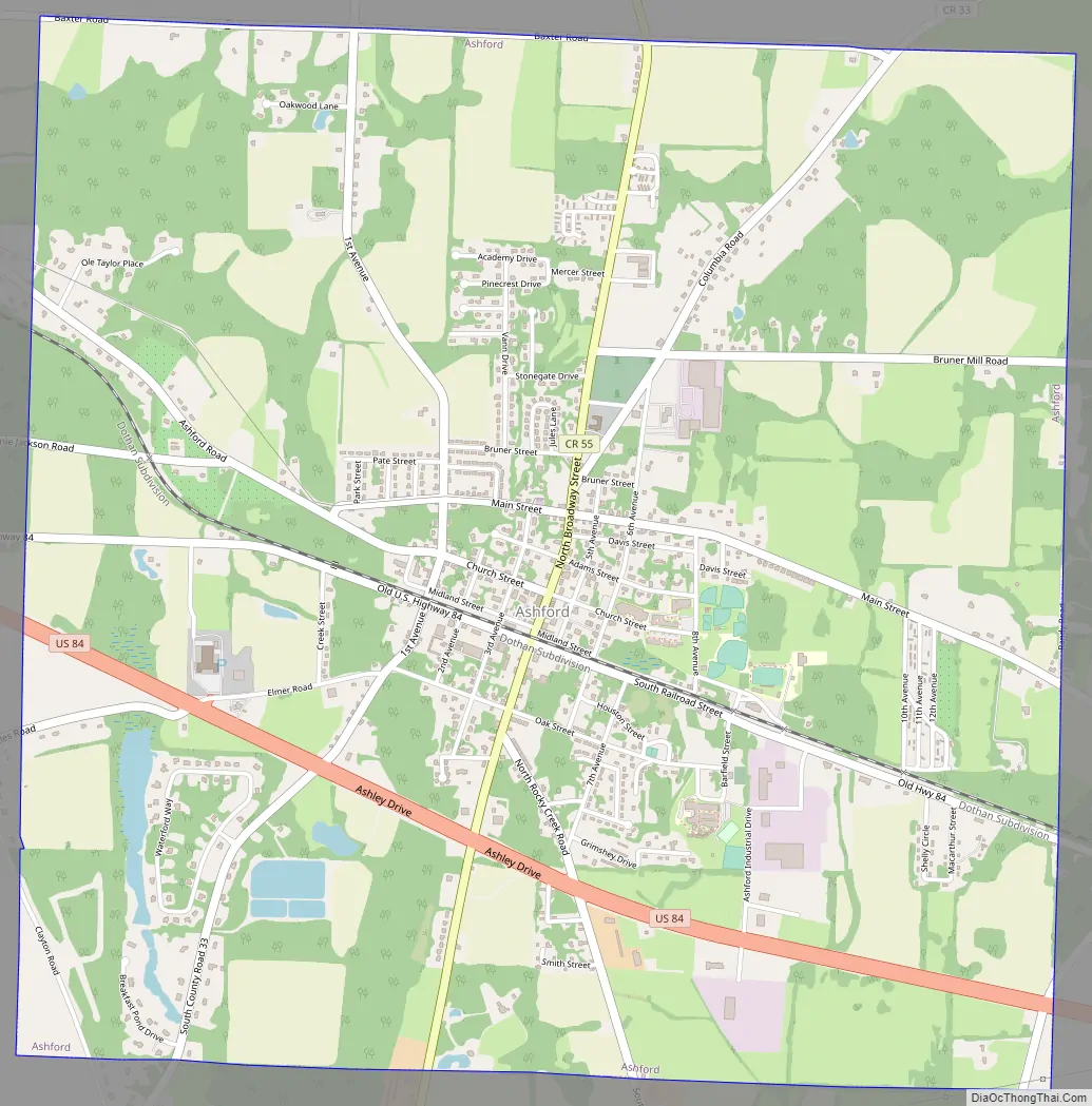
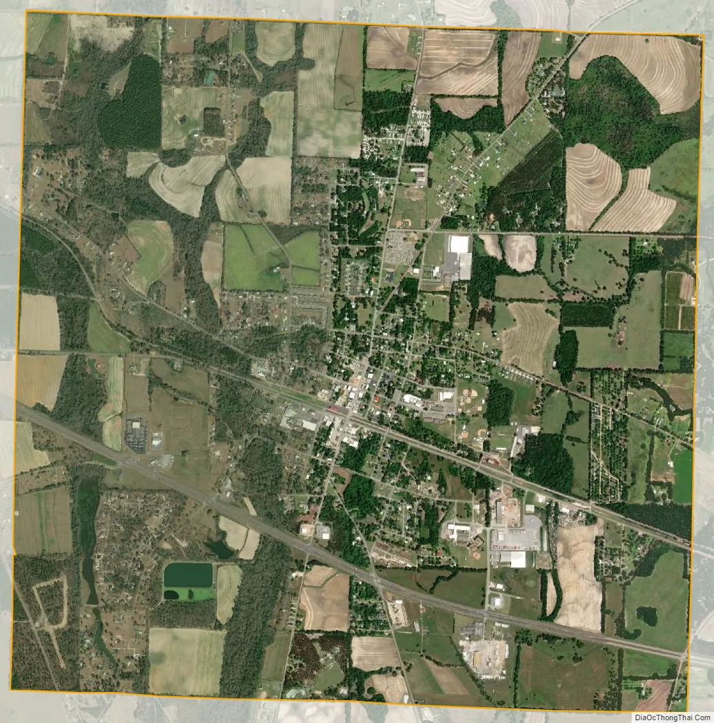
Ashford city Satellite Map
Geography
Ashford is located slightly northeast of the center of Houston County at 31°11′3″N 85°14′7″W / 31.18417°N 85.23528°W / 31.18417; -85.23528 (31.184032, -85.235286). U.S. Route 84 passes through the southern part of the town, leading west 9 miles (14 km) to Dothan and southeast 24 miles (39 km) to Donalsonville, Georgia. The Chattahoochee River, which forms the Georgia state line, is 12 miles (19 km) southeast of Ashford on US 84.
According to the United States Census Bureau, the town has a total area of 6.3 square miles (16.4 km), of which 0.02 square miles (0.06 km), or 0.34%, are water.
See also
Map of Alabama State and its subdivision:- Autauga
- Baldwin
- Barbour
- Bibb
- Blount
- Bullock
- Butler
- Calhoun
- Chambers
- Cherokee
- Chilton
- Choctaw
- Clarke
- Clay
- Cleburne
- Coffee
- Colbert
- Conecuh
- Coosa
- Covington
- Crenshaw
- Cullman
- Dale
- Dallas
- De Kalb
- Elmore
- Escambia
- Etowah
- Fayette
- Franklin
- Geneva
- Greene
- Hale
- Henry
- Houston
- Jackson
- Jefferson
- Lamar
- Lauderdale
- Lawrence
- Lee
- Limestone
- Lowndes
- Macon
- Madison
- Marengo
- Marion
- Marshall
- Mobile
- Monroe
- Montgomery
- Morgan
- Perry
- Pickens
- Pike
- Randolph
- Russell
- Saint Clair
- Shelby
- Sumter
- Talladega
- Tallapoosa
- Tuscaloosa
- Walker
- Washington
- Wilcox
- Winston
- Alabama
- Alaska
- Arizona
- Arkansas
- California
- Colorado
- Connecticut
- Delaware
- District of Columbia
- Florida
- Georgia
- Hawaii
- Idaho
- Illinois
- Indiana
- Iowa
- Kansas
- Kentucky
- Louisiana
- Maine
- Maryland
- Massachusetts
- Michigan
- Minnesota
- Mississippi
- Missouri
- Montana
- Nebraska
- Nevada
- New Hampshire
- New Jersey
- New Mexico
- New York
- North Carolina
- North Dakota
- Ohio
- Oklahoma
- Oregon
- Pennsylvania
- Rhode Island
- South Carolina
- South Dakota
- Tennessee
- Texas
- Utah
- Vermont
- Virginia
- Washington
- West Virginia
- Wisconsin
- Wyoming