Mooresville is a town in Limestone County, Alabama, United States, located southeast of the intersection of Interstate 565 and Interstate 65, and north of Wheeler Lake.
The town is between Huntsville and Decatur, and is part of the Huntsville-Decatur Combined Statistical Area; its population as of the 2010 census is 53, down from 59 in 2000.
Although the town’s per-capita income is over $50,000, Mooresville is within the area covered by the charter for the Appalachian Regional Commission, an organization whose goal is to help increase the per-capita income of impoverished areas. Mooresville is within Corridor V of the Appalachian Development Highway System.
The town was the primary filming location for Disney’s live action production of Tom and Huck (1995).
| Name: | Mooresville town |
|---|---|
| LSAD Code: | 43 |
| LSAD Description: | town (suffix) |
| State: | Alabama |
| County: | Limestone County |
| Elevation: | 577 ft (176 m) |
| Total Area: | 0.30 sq mi (0.77 km²) |
| Land Area: | 0.25 sq mi (0.65 km²) |
| Water Area: | 0.05 sq mi (0.13 km²) |
| Total Population: | 47 |
| Population Density: | 188.00/sq mi (72.72/km²) |
| ZIP code: | 35649 |
| Area code: | 256 |
| FIPS code: | 0151264 |
| GNISfeature ID: | 2406188 |
| Website: | www.mooresvilleal.com |
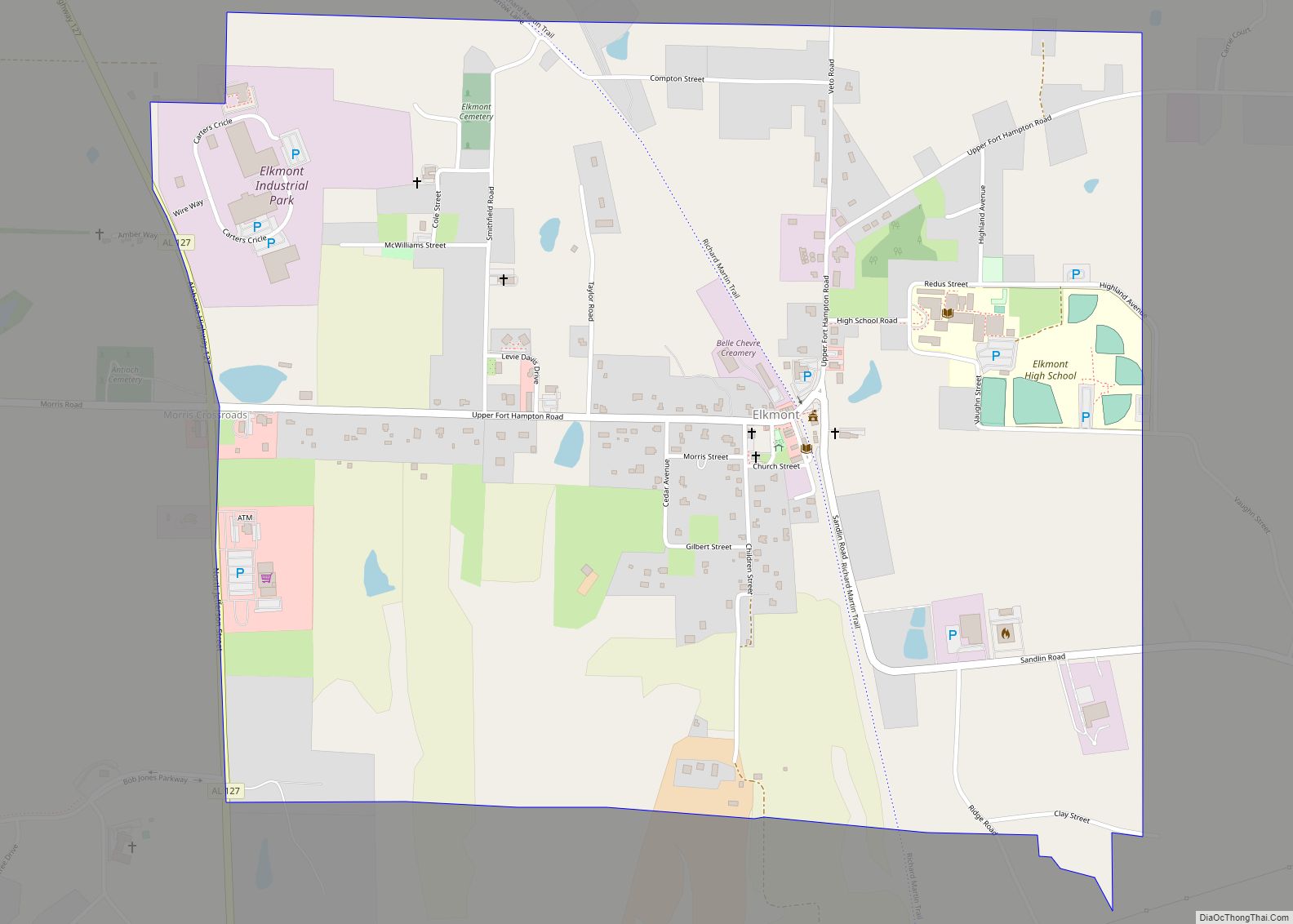
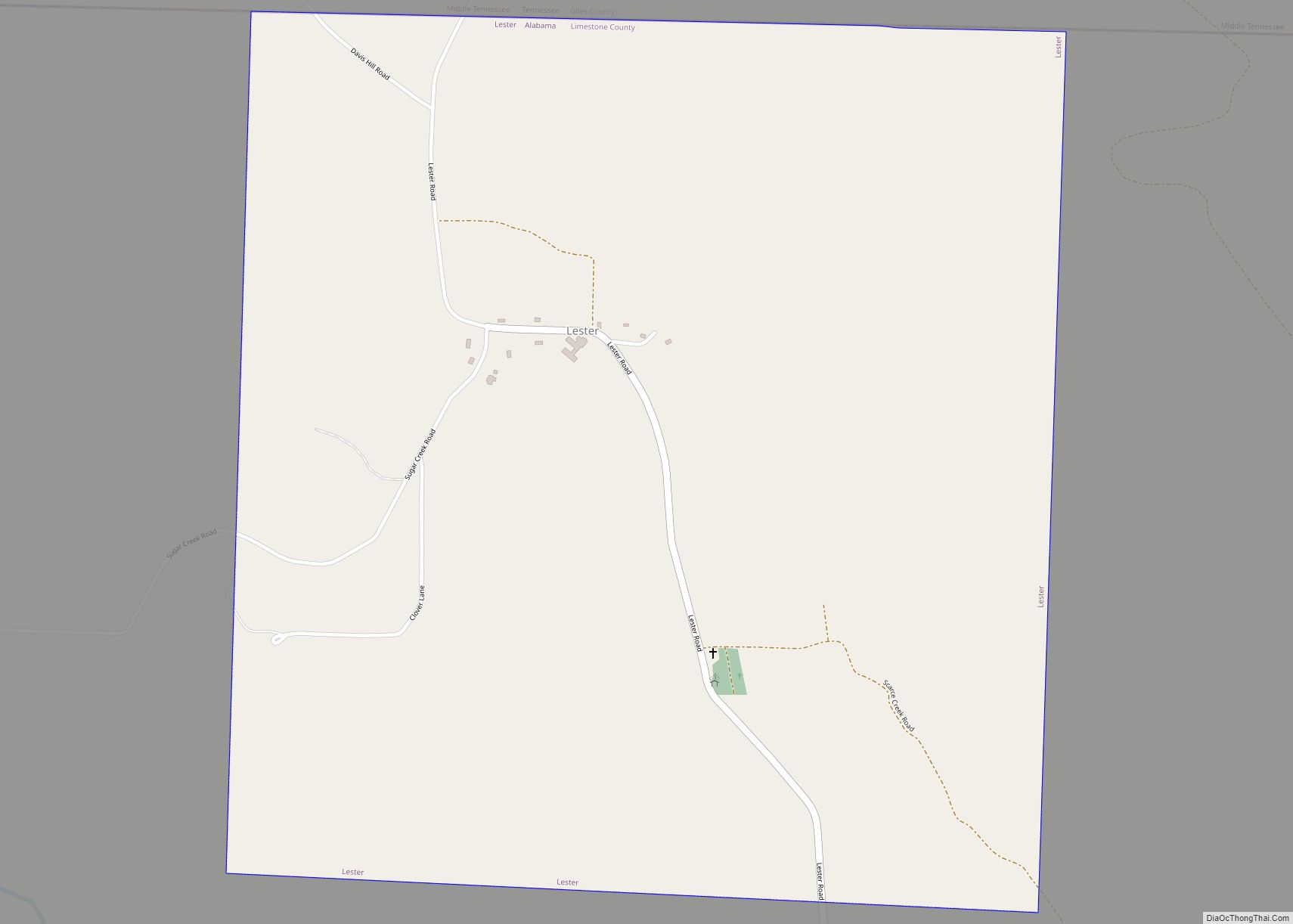
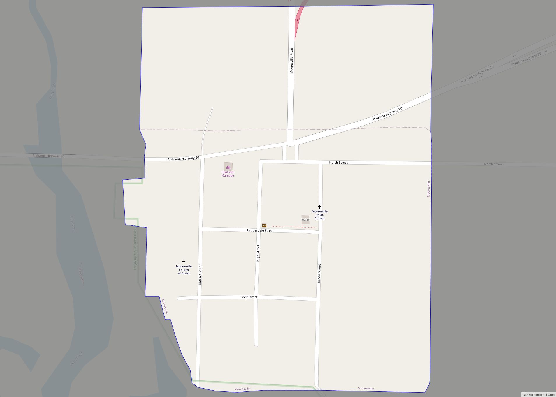
Online Interactive Map
Click on ![]() to view map in "full screen" mode.
to view map in "full screen" mode.
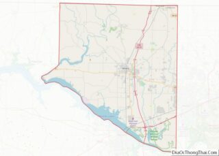
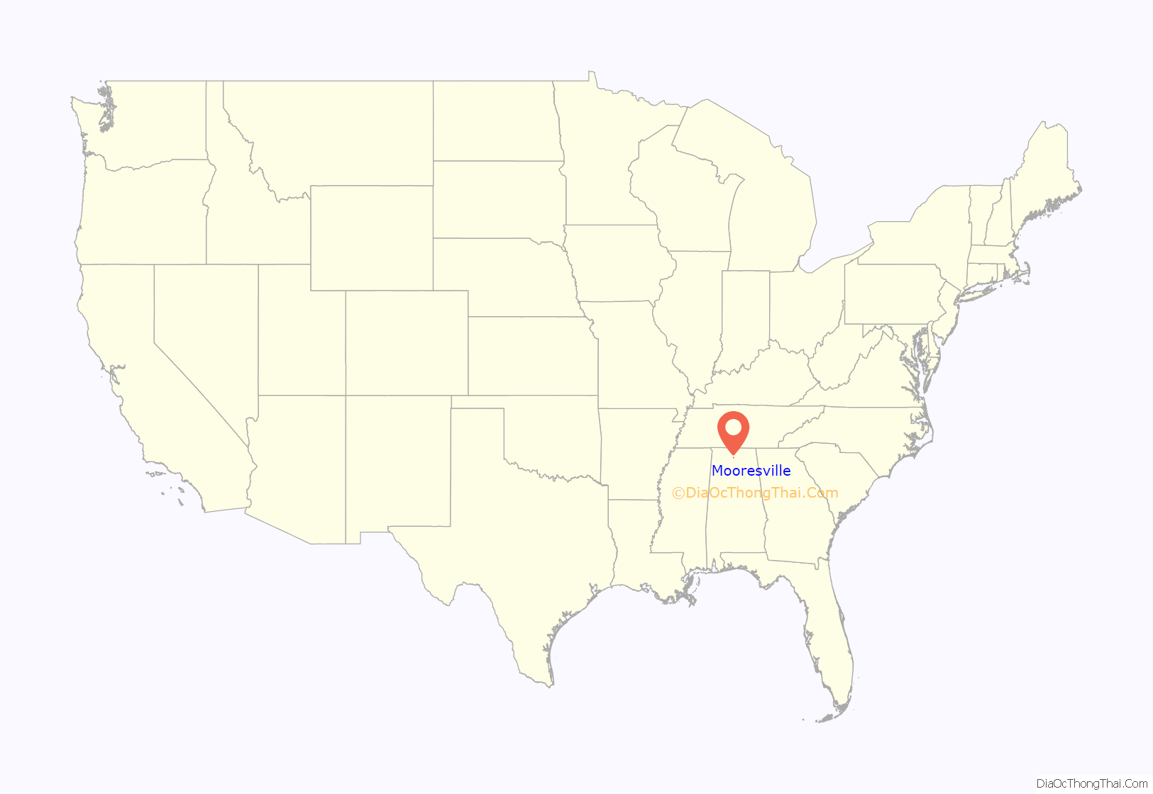
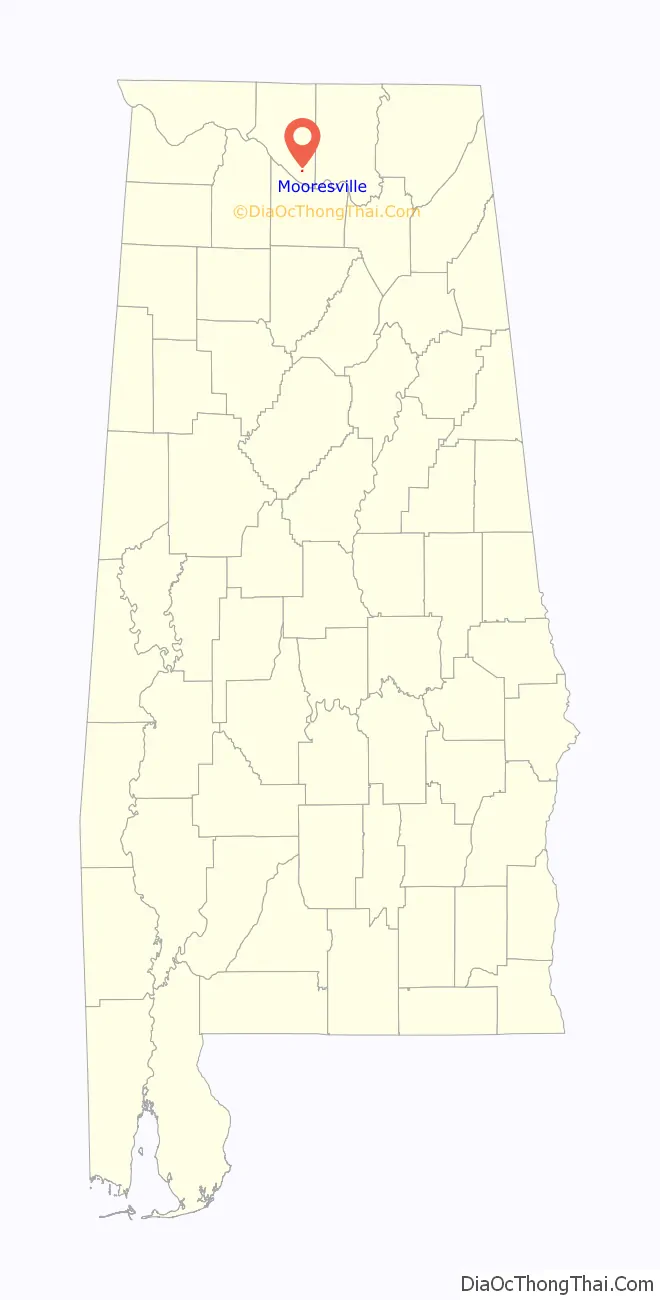
Mooresville location map. Where is Mooresville town?
History
Mooresville is one of the oldest incorporated towns in Alabama, having been incorporated on November 16, 1818, when Alabama was still a Territory. It was named for early settlers, Robert and William Moore who located on land which became the site of Mooresville. Andrew Johnson, later to become to 17th president of the United States, lived in Mooresville as an apprentice tailor when he was a young man. The Union Army occupied Mooresville several times during the Civil War, and a few skirmishes were fought in the vicinity. Future U.S. president James Garfield, then a Union general camped in the area, delivered a sermon at the Mooresville Church of Christ in 1863. Mooresville thrived as a cotton farming hub until the early 20th century, when the boll weevil infestation wrecked the cotton economy.
The entire town, described as a picturesque early 19th century village, is listed on the National Register of Historic Places. Many of the older public buildings, including the Stagecoach Inn and Tavern, the Brick Church, the Post Office, and the Church of Christ, are owned and maintained by the town’s residents.
Historic buildings
- Stagecoach Inn and Tavern (1820s) – a frame building constructed before 1825 that served as an inn and post office. This building was documented by the Historic American Buildings Survey in the 1930s, and underwent extensive restoration in the 1990s.
- Mooresville Post Office (1840) – located at the corner of Lauderdale and High streets, this post office is the oldest in operation in Alabama and has call boxes dating before the American Civil War. Some of the call boxes have been owned by the same families since before the Civil War. The call boxes and some of the office furnishings actually predate the building, having been used in the nearby Stagecoach Inn and Tavern.
- Brick Church (1839) – a Greek Revival-style church built of handmade bricks that stands on Lauderdale Street. Originally a Presbyterian church, it later served as a Methodist church and a Baptist mission. The church’s recessed entrance is supported by two stucco-covered columns.
- Mooresville Church of Christ (1854) – a white clapboard church on Market Street that originally served as a meeting house for the Disciples of Christ. The rear wing and entry vestibule were added in 1937.
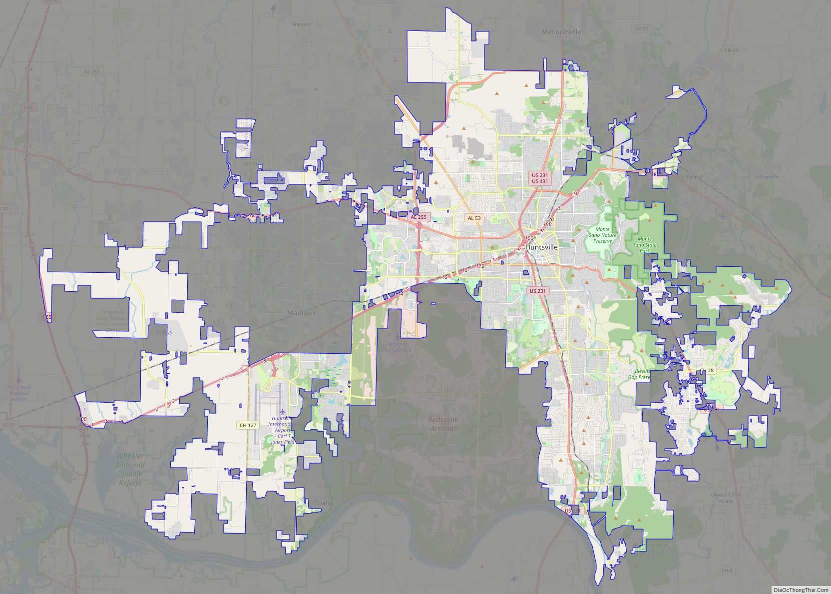
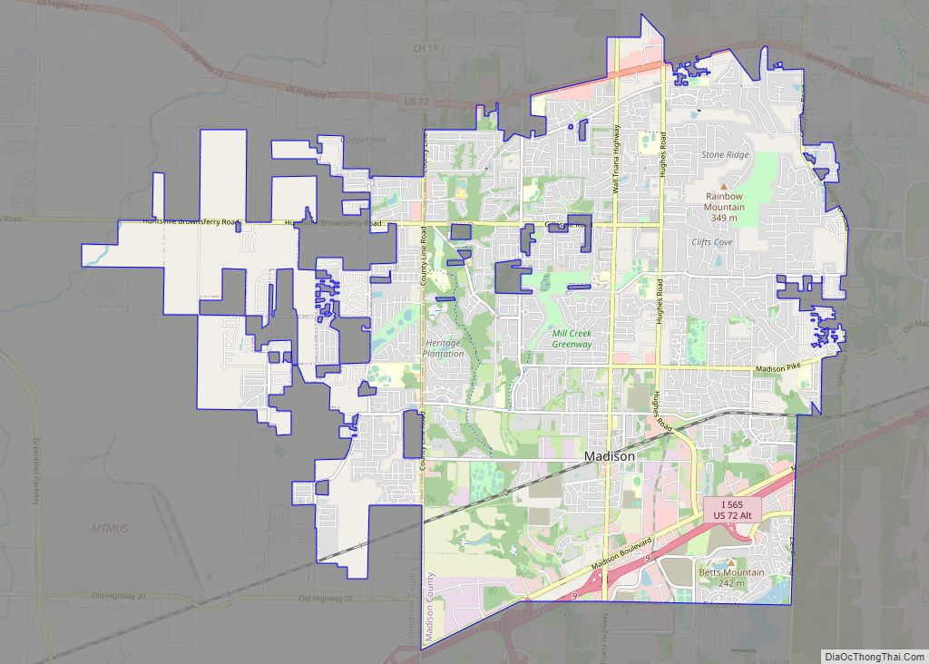
Mooresville Road Map

Mooresville city Satellite Map

Geography
Mooresville is located at 34°37′37″N 86°52′52″W / 34.62694°N 86.88111°W / 34.62694; -86.88111 (34.626931, -86.881091). The town lies southwest of Huntsville and northeast of Decatur in southern Limestone County. Wheeler Lake, an artificial reservoir along the Tennessee River, lies to the south.
According to the U.S. Census Bureau, the town has a total area of 0.1 square miles (0.26 km), all land.
See also
Map of Alabama State and its subdivision:- Autauga
- Baldwin
- Barbour
- Bibb
- Blount
- Bullock
- Butler
- Calhoun
- Chambers
- Cherokee
- Chilton
- Choctaw
- Clarke
- Clay
- Cleburne
- Coffee
- Colbert
- Conecuh
- Coosa
- Covington
- Crenshaw
- Cullman
- Dale
- Dallas
- De Kalb
- Elmore
- Escambia
- Etowah
- Fayette
- Franklin
- Geneva
- Greene
- Hale
- Henry
- Houston
- Jackson
- Jefferson
- Lamar
- Lauderdale
- Lawrence
- Lee
- Limestone
- Lowndes
- Macon
- Madison
- Marengo
- Marion
- Marshall
- Mobile
- Monroe
- Montgomery
- Morgan
- Perry
- Pickens
- Pike
- Randolph
- Russell
- Saint Clair
- Shelby
- Sumter
- Talladega
- Tallapoosa
- Tuscaloosa
- Walker
- Washington
- Wilcox
- Winston
- Alabama
- Alaska
- Arizona
- Arkansas
- California
- Colorado
- Connecticut
- Delaware
- District of Columbia
- Florida
- Georgia
- Hawaii
- Idaho
- Illinois
- Indiana
- Iowa
- Kansas
- Kentucky
- Louisiana
- Maine
- Maryland
- Massachusetts
- Michigan
- Minnesota
- Mississippi
- Missouri
- Montana
- Nebraska
- Nevada
- New Hampshire
- New Jersey
- New Mexico
- New York
- North Carolina
- North Dakota
- Ohio
- Oklahoma
- Oregon
- Pennsylvania
- Rhode Island
- South Carolina
- South Dakota
- Tennessee
- Texas
- Utah
- Vermont
- Virginia
- Washington
- West Virginia
- Wisconsin
- Wyoming