Bear Creek is a town in Marion County, Alabama, United States. It incorporated in 1907, although the 1910 U.S. Census records indicated 1909. At the 2020 census, the population was 1,047.
| Name: | Bear Creek town |
|---|---|
| LSAD Code: | 43 |
| LSAD Description: | town (suffix) |
| State: | Alabama |
| County: | Marion County |
| Elevation: | 807 ft (246 m) |
| Total Area: | 13.76 sq mi (35.6 km²) |
| Land Area: | 13.63 sq mi (35.3 km²) |
| Water Area: | 0.13 sq mi (0.3 km²) |
| Total Population: | 1,047 |
| Population Density: | 76.83/sq mi (29.66/km²) |
| ZIP code: | 35543 |
| FIPS code: | 0104852 |
| GNISfeature ID: | 0154439 |
Online Interactive Map
Click on ![]() to view map in "full screen" mode.
to view map in "full screen" mode.
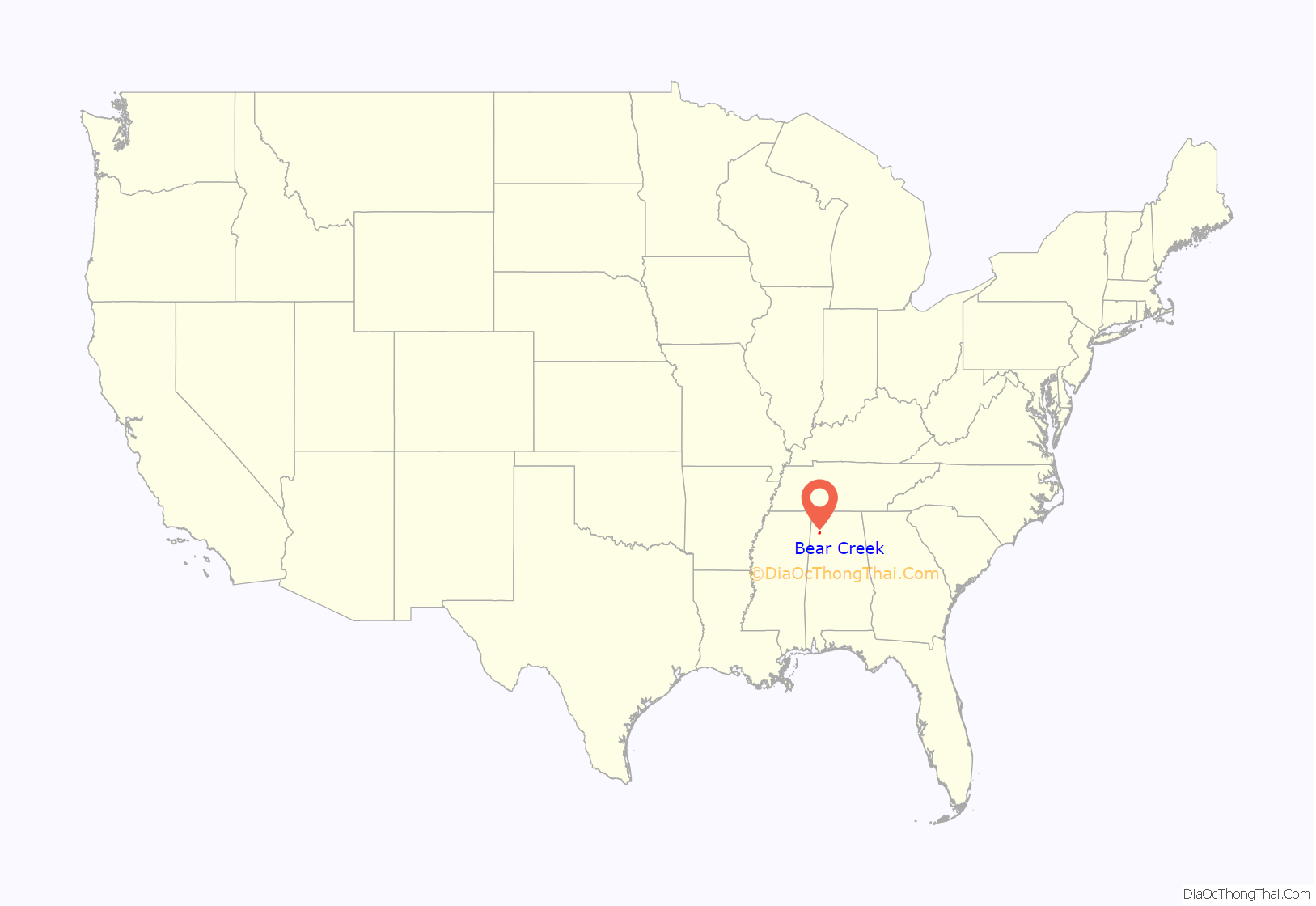
Bear Creek location map. Where is Bear Creek town?
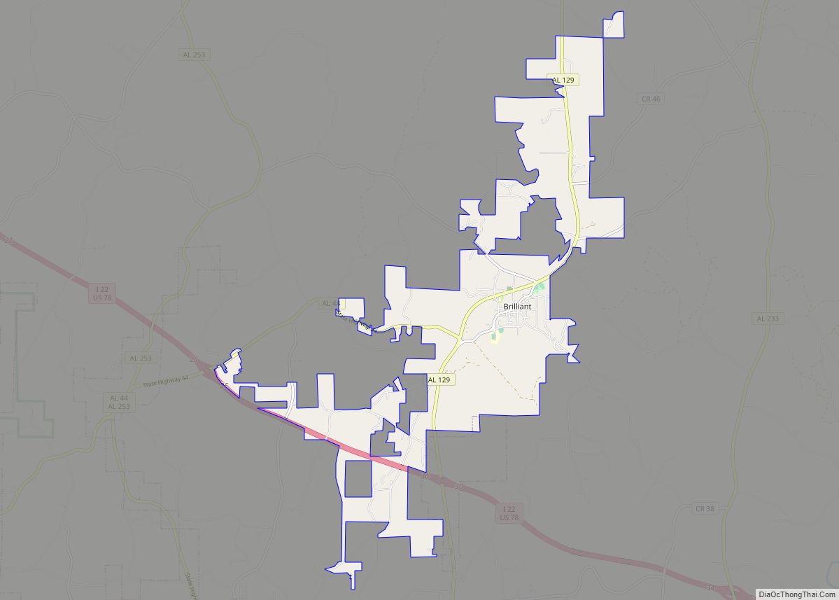
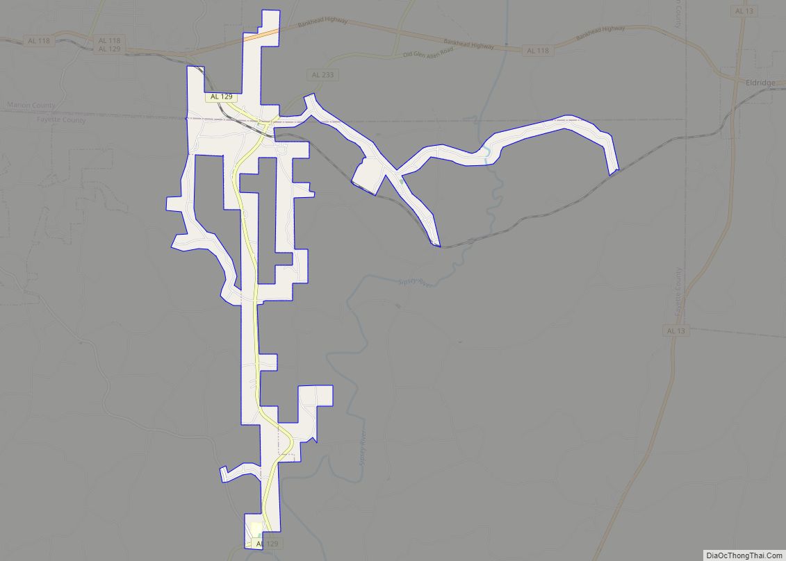
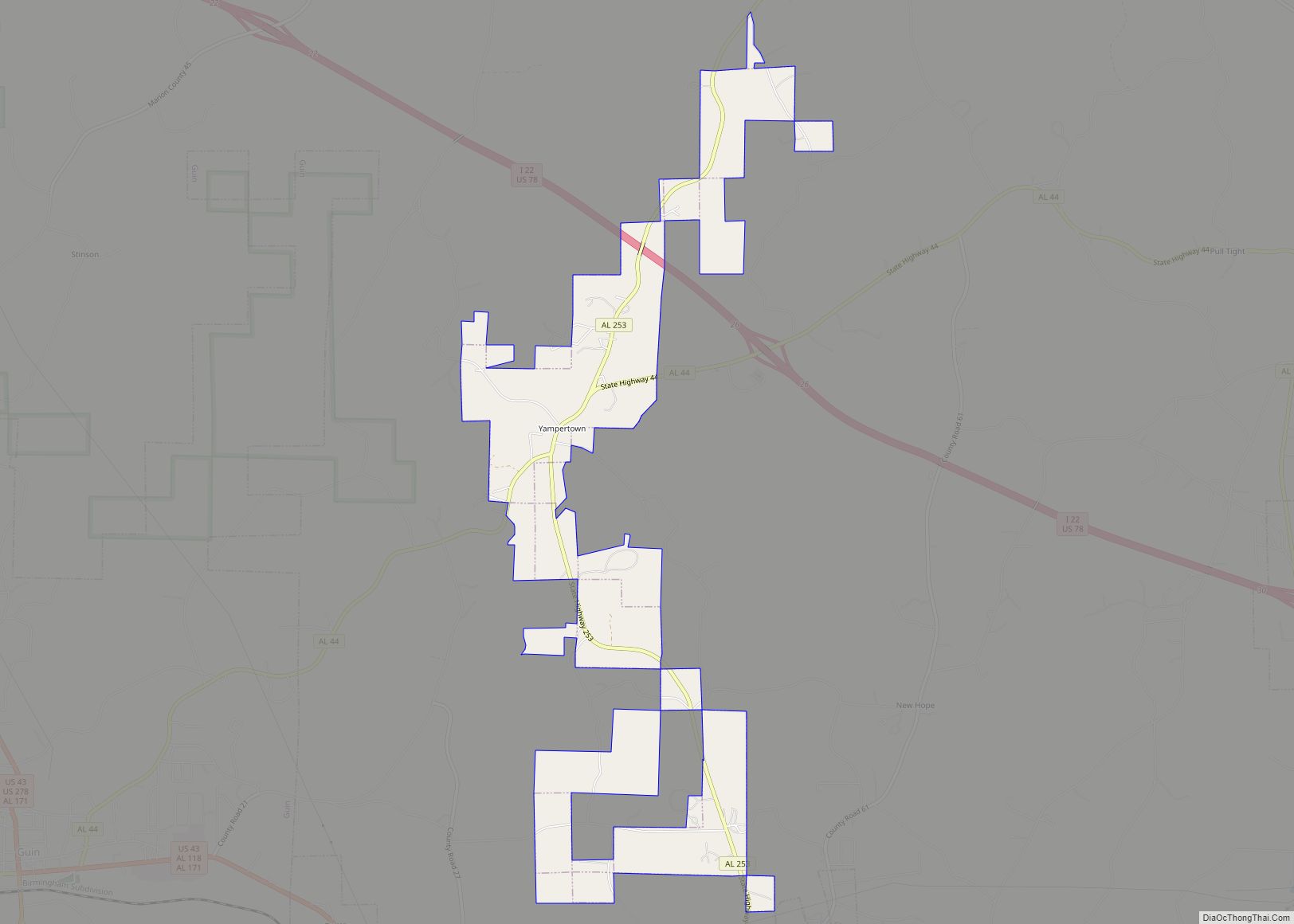
Bear Creek Road Map
Bear Creek city Satellite Map
Geography
Bear Creek is located in northeastern Marion County at 34°16′21″N 87°42′12″W / 34.27250°N 87.70333°W / 34.27250; -87.70333 (34.272400, -87.703374). It is 22 miles (35 km) northeast of Hamilton, the county seat; 9 miles (14 km) east of Hackleburg; 6 miles (10 km) northwest of Haleyville; and 18 miles (29 km) south of Russellville.
According to the U.S. Census Bureau, the town has a total area of 13.8 square miles (36 km), of which 0.13 square miles (0.34 km), or 0.97%, are water. The town takes its name from Bear Creek, which flows westerly through the south side of town before turning north and joining the Tennessee River at the Mississippi state line. Upper Bear Creek Reservoir is located in the eastern part of the town. It is a TVA flood-control lake that provides a variety of recreational activities.
See also
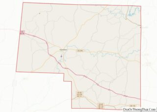
Map of Alabama State and its subdivision:- Autauga
- Baldwin
- Barbour
- Bibb
- Blount
- Bullock
- Butler
- Calhoun
- Chambers
- Cherokee
- Chilton
- Choctaw
- Clarke
- Clay
- Cleburne
- Coffee
- Colbert
- Conecuh
- Coosa
- Covington
- Crenshaw
- Cullman
- Dale
- Dallas
- De Kalb
- Elmore
- Escambia
- Etowah
- Fayette
- Franklin
- Geneva
- Greene
- Hale
- Henry
- Houston
- Jackson
- Jefferson
- Lamar
- Lauderdale
- Lawrence
- Lee
- Limestone
- Lowndes
- Macon
- Madison
- Marengo
- Marion
- Marshall
- Mobile
- Monroe
- Montgomery
- Morgan
- Perry
- Pickens
- Pike
- Randolph
- Russell
- Saint Clair
- Shelby
- Sumter
- Talladega
- Tallapoosa
- Tuscaloosa
- Walker
- Washington
- Wilcox
- Winston
- Alabama
- Alaska
- Arizona
- Arkansas
- California
- Colorado
- Connecticut
- Delaware
- District of Columbia
- Florida
- Georgia
- Hawaii
- Idaho
- Illinois
- Indiana
- Iowa
- Kansas
- Kentucky
- Louisiana
- Maine
- Maryland
- Massachusetts
- Michigan
- Minnesota
- Mississippi
- Missouri
- Montana
- Nebraska
- Nevada
- New Hampshire
- New Jersey
- New Mexico
- New York
- North Carolina
- North Dakota
- Ohio
- Oklahoma
- Oregon
- Pennsylvania
- Rhode Island
- South Carolina
- South Dakota
- Tennessee
- Texas
- Utah
- Vermont
- Virginia
- Washington
- West Virginia
- Wisconsin
- Wyoming
