Brighton is a city near Birmingham, Alabama, United States and located just east of Hueytown. At the 2020 census, the population was 2,337. It is part of the Birmingham-Hoover Metropolitan Statistical Area, which in 2010 had a population of about 1,128,047, approximately one-quarter of Alabama’s population.
It is one of four cities in Jefferson County named after cities in Great Britain. Many of the city’s early settlers were of English descent; they named the town after the English tourist and resort city of Brighton, which is located on the English Channel.
| Name: | Brighton city |
|---|---|
| LSAD Code: | 25 |
| LSAD Description: | city (suffix) |
| State: | Alabama |
| County: | Jefferson County |
| Elevation: | 515 ft (157 m) |
| Total Area: | 1.42 sq mi (3.66 km²) |
| Land Area: | 1.42 sq mi (3.66 km²) |
| Water Area: | 0.00 sq mi (0.00 km²) |
| Total Population: | 2,337 |
| Population Density: | 1,651.59/sq mi (637.81/km²) |
| ZIP code: | 35020 |
| Area code: | 205 & 659 |
| FIPS code: | 0109400 |
| GNISfeature ID: | 2403925 |
Online Interactive Map
Click on ![]() to view map in "full screen" mode.
to view map in "full screen" mode.
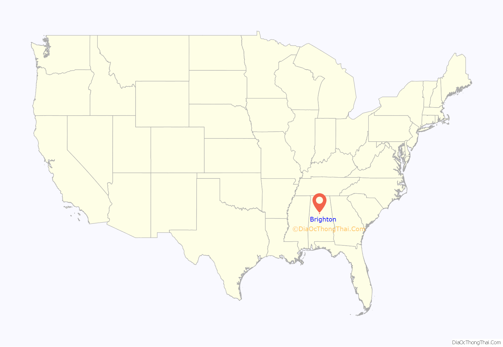
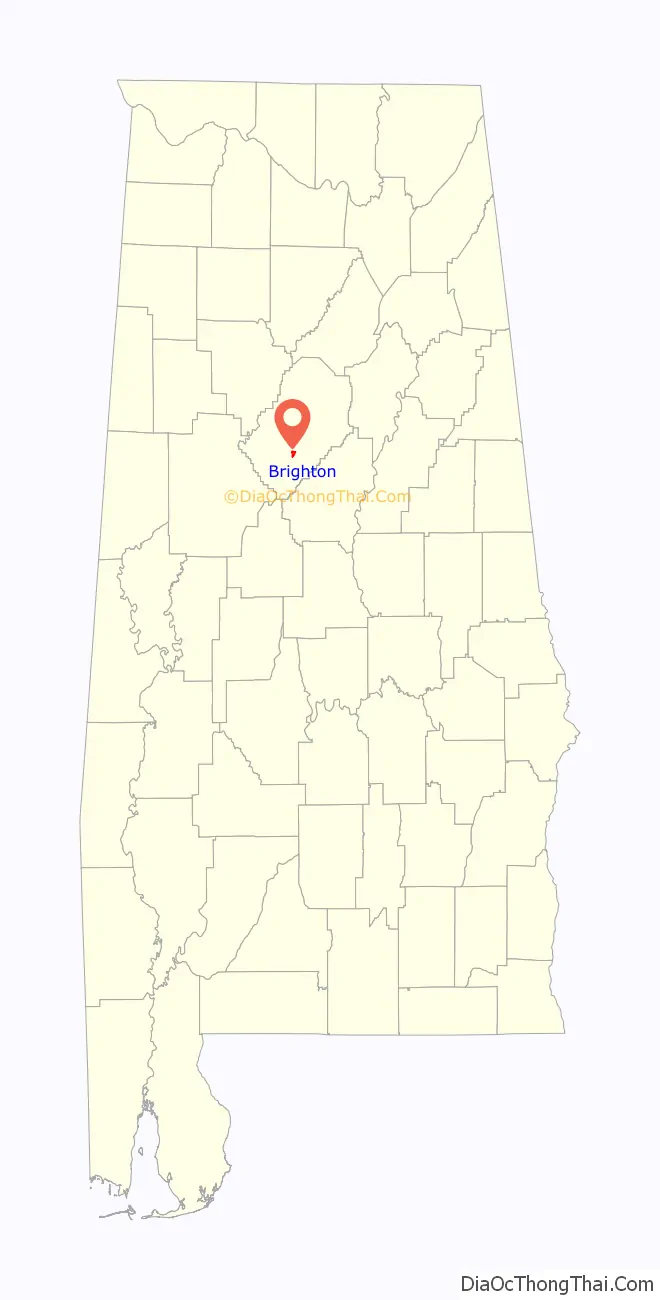
Brighton location map. Where is Brighton city?
History
Brighton was not settled by European Americans until the late 19th century. Brighton was officially founded in 1892, when developer G.B. Edwards subdivided a tract of land and sold lots. It was named after Brighton, East Sussex in England UK. It was situated along a dummy railroad line built in 1889 by the Bessemer & Birmingham Railroad Company to connect those two growing industrial cities.
The Old Huntsville Road was renamed as Main Street and the city was incorporated in 1901. By that year, at least 100 families were living in Brighton. The town had a population of 1,502 by the 1910 census, with seventeen commercial establishments, including eight grocery stores.
The city’s fortunes have been closely linked to those of Woodward Iron Company. Together with coal mining in this area, the iron company was integral to the industrial development in this part of Alabama, which is based on the much larger cities of Birmingham, Bessemer, and Gadsden. After industrial restructuring in the late 1970s and when the iron company moved out, the town has declined in population since its peak in 1980.
Brighton Cemetery, which is still operating, contains the graves of persons of Scottish, English and German descent who came to work at Woodward.
In August 1908, coal miner and union leader William Miller, who was black, was accused of blowing up the home of a white mine operator Finley Fuller. It was during a period of labor unrest as mine workers tried to organize unions. Miller was lynched by a white mob that dragged him out of the Brighton jail. They hanged and killed him not far from Brighton City Hall. Later, it was found that whites opposed to unionization had bombed Fuller’s home; by linking the crime to a black man, they intended to increase general opposition to the union’s drive for better wages.
In 2015, after the Equal Justice Initiative (EJI) published its study Lynching in America: Confronting the Legacy of Racial Terror, the city of Brighton resolved to place a historical marker to commemorate Miller for his work with the union and as a victim of lynching. They worked in cooperation with EJI and placed the marker in a ceremony near City Hall. Brighton was the first city in Alabama to install such a memorial. In a related effort, scholarships will be awarded to high school students for writing essays about Alabama’s racial history.
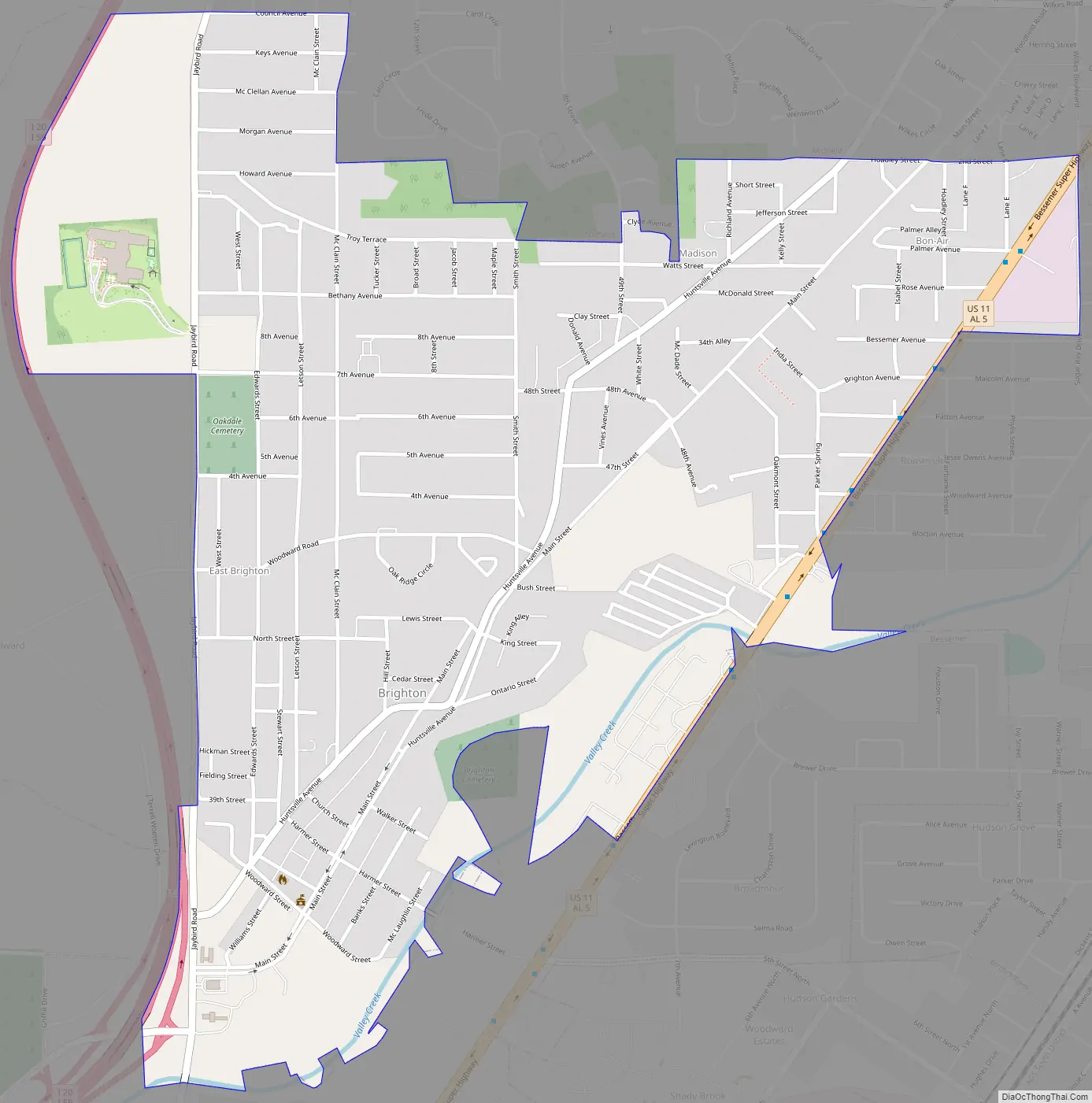
Brighton Road Map
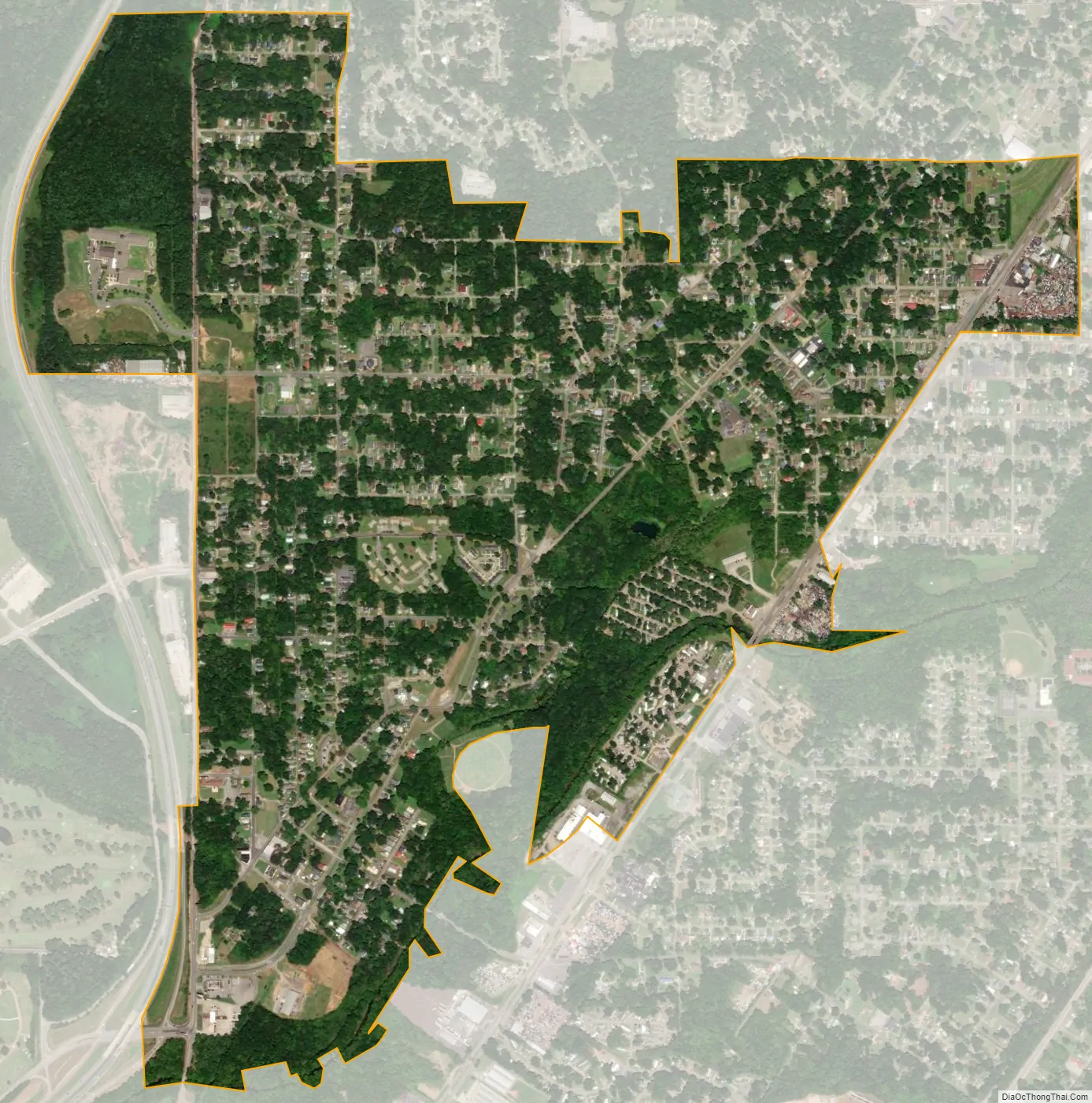
Brighton city Satellite Map
Geography
Brighton is located at 33°26′22″N 86°56′43″W / 33.4395512°N 86.9454040°W / 33.4395512; -86.9454040.
According to the U.S. Census Bureau, the city has a total area of 1.4 square miles (3.6 km), all land.
See also
Map of Alabama State and its subdivision:- Autauga
- Baldwin
- Barbour
- Bibb
- Blount
- Bullock
- Butler
- Calhoun
- Chambers
- Cherokee
- Chilton
- Choctaw
- Clarke
- Clay
- Cleburne
- Coffee
- Colbert
- Conecuh
- Coosa
- Covington
- Crenshaw
- Cullman
- Dale
- Dallas
- De Kalb
- Elmore
- Escambia
- Etowah
- Fayette
- Franklin
- Geneva
- Greene
- Hale
- Henry
- Houston
- Jackson
- Jefferson
- Lamar
- Lauderdale
- Lawrence
- Lee
- Limestone
- Lowndes
- Macon
- Madison
- Marengo
- Marion
- Marshall
- Mobile
- Monroe
- Montgomery
- Morgan
- Perry
- Pickens
- Pike
- Randolph
- Russell
- Saint Clair
- Shelby
- Sumter
- Talladega
- Tallapoosa
- Tuscaloosa
- Walker
- Washington
- Wilcox
- Winston
- Alabama
- Alaska
- Arizona
- Arkansas
- California
- Colorado
- Connecticut
- Delaware
- District of Columbia
- Florida
- Georgia
- Hawaii
- Idaho
- Illinois
- Indiana
- Iowa
- Kansas
- Kentucky
- Louisiana
- Maine
- Maryland
- Massachusetts
- Michigan
- Minnesota
- Mississippi
- Missouri
- Montana
- Nebraska
- Nevada
- New Hampshire
- New Jersey
- New Mexico
- New York
- North Carolina
- North Dakota
- Ohio
- Oklahoma
- Oregon
- Pennsylvania
- Rhode Island
- South Carolina
- South Dakota
- Tennessee
- Texas
- Utah
- Vermont
- Virginia
- Washington
- West Virginia
- Wisconsin
- Wyoming


