Camp Hill is a town in Tallapoosa County, Alabama, United States. It was incorporated in 1895. At the 2010 census the population was 1,014, down from 1,273 in 2000. Camp Hill is the home to Southern Preparatory Academy (formerly known as “Lyman Ward Military Academy”).
| Name: | Camp Hill town |
|---|---|
| LSAD Code: | 43 |
| LSAD Description: | town (suffix) |
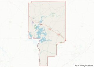
| State: | Alabama |
| County: | Tallapoosa County |
| Elevation: | 712 ft (217 m) |
| Total Area: | 9.09 sq mi (23.54 km²) |
| Land Area: | 8.99 sq mi (23.28 km²) |
| Water Area: | 0.10 sq mi (0.26 km²) |
| Total Population: | 1,006 |
| Population Density: | 111.90/sq mi (43.21/km²) |
| ZIP code: | 36850 |
| Area code: | 256 |
| FIPS code: | 0111680 |
| GNISfeature ID: | 0115465 |
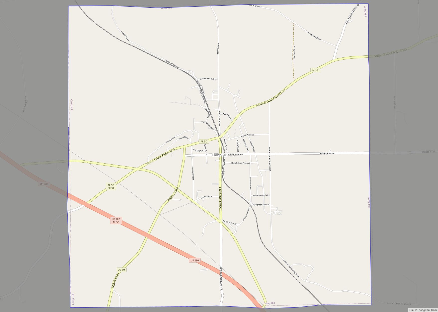
Online Interactive Map
Click on ![]() to view map in "full screen" mode.
to view map in "full screen" mode.
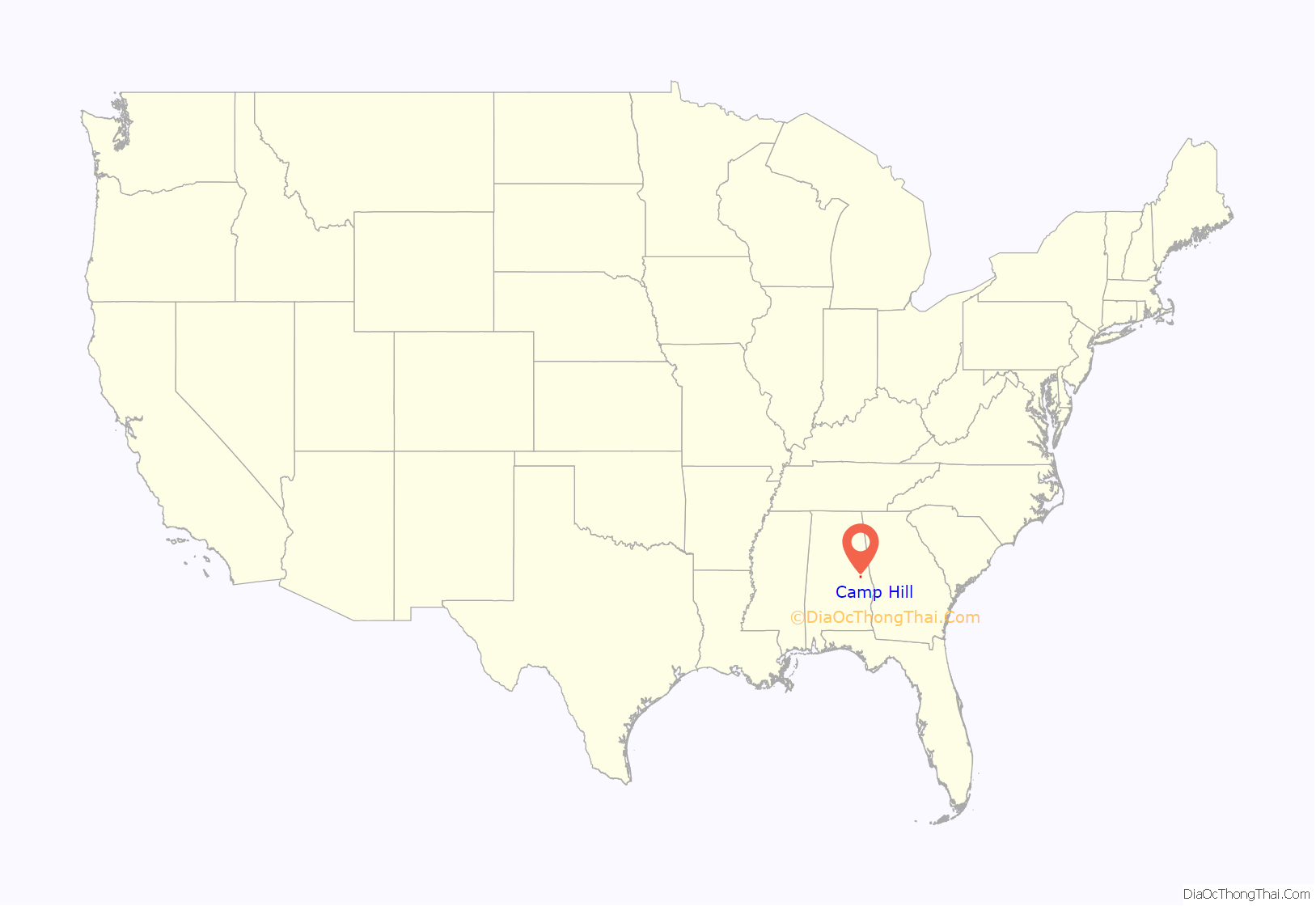
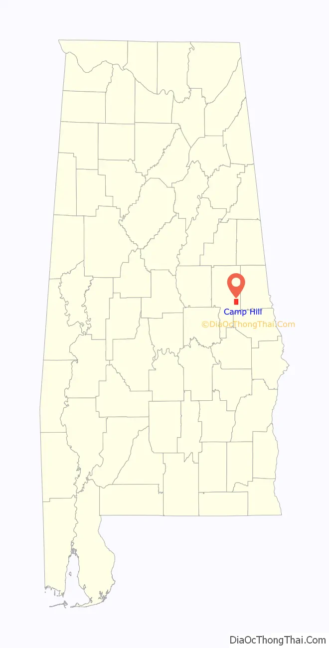
Camp Hill location map. Where is Camp Hill town?
History
On July 15, 1931, a white mob, led by Tallapoosa County sheriff Kyle Young and Camp Hill police chief J. M. Wilson—who voiced his desire to “kill every member of the ‘Reds’ there and throw them into the creek,” raided a meeting of the Alabama Sharecroppers’ Union which was being held in a church in Camp Hill. A shootout between the mob and union members followed; SCU member Ralph Gray was murdered, his home burned, and his burned corpse was dumped on the courthouse steps. Dozens of black men and women were killed, lynched or injured, and at least thirty sharecroppers were later arrested. According to Hosea Hudson, all those arrested were eventually released without trial due to public and international pressure—albeit too late to have a chance at raising a crop that year.
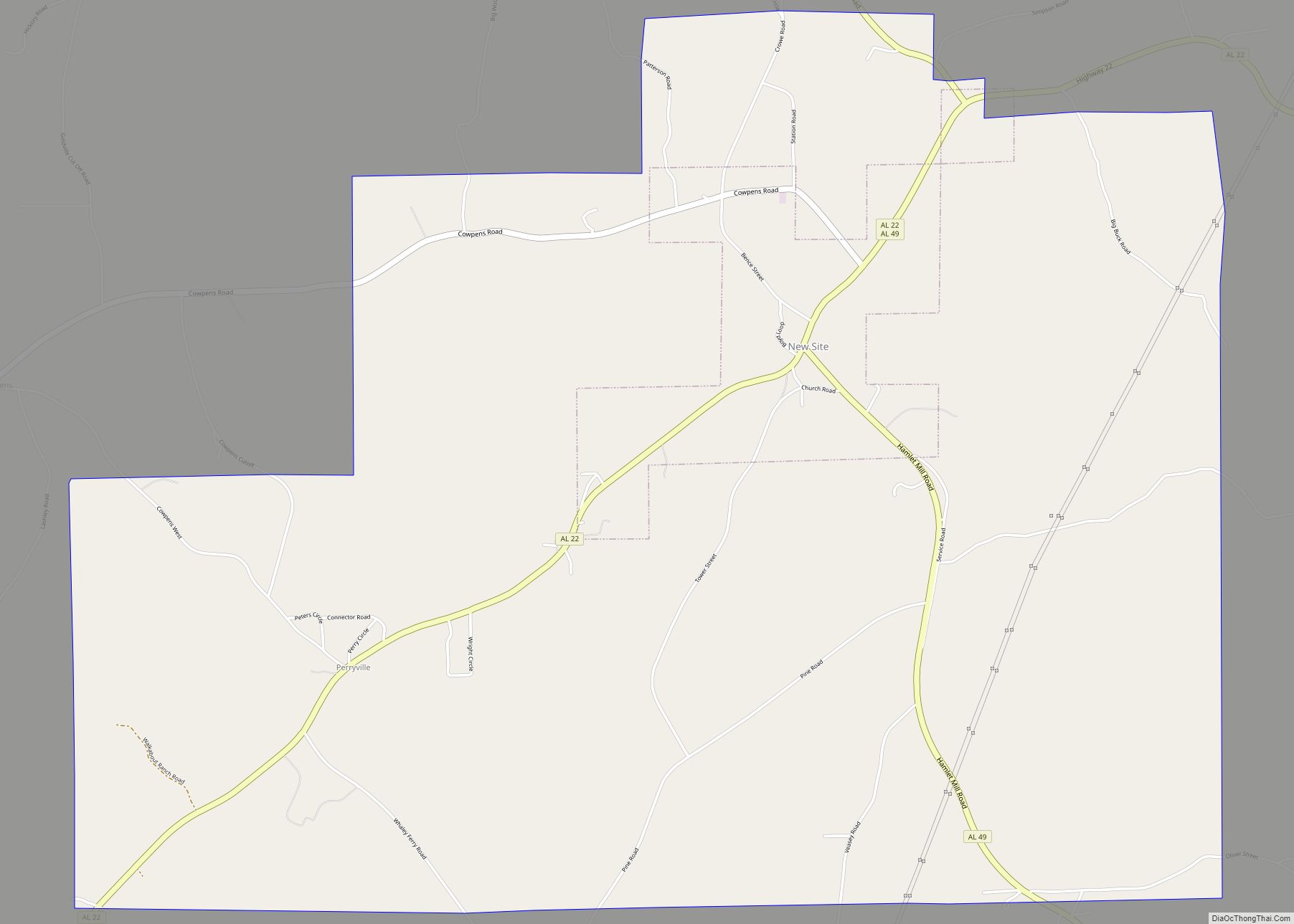
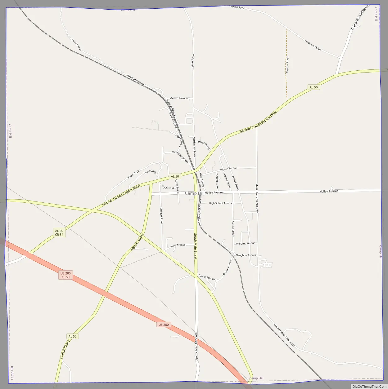
Camp Hill Road Map
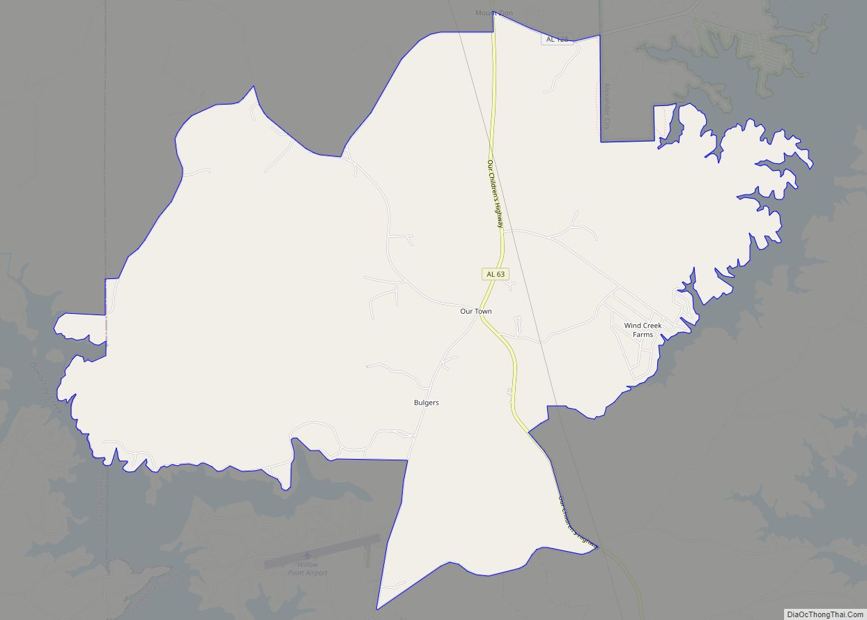
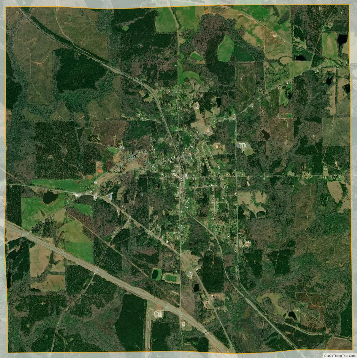
Camp Hill city Satellite Map
Geography
Camp Hill is located at 32°47′57″N 85°39′10″W / 32.79917°N 85.65278°W / 32.79917; -85.65278 (32.799285, -85.652902).
According to the U.S. Census Bureau, the town has a total area of 9.1 square miles (24 km), of which 9.1 square miles (24 km) is land and 0.11% is water.
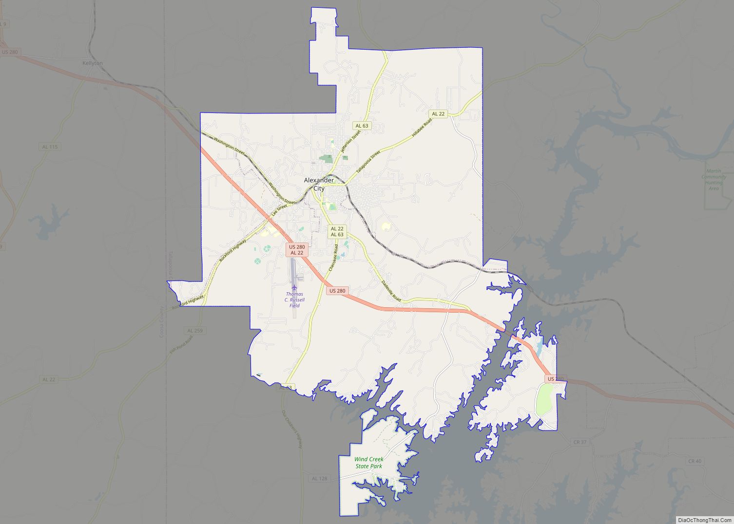
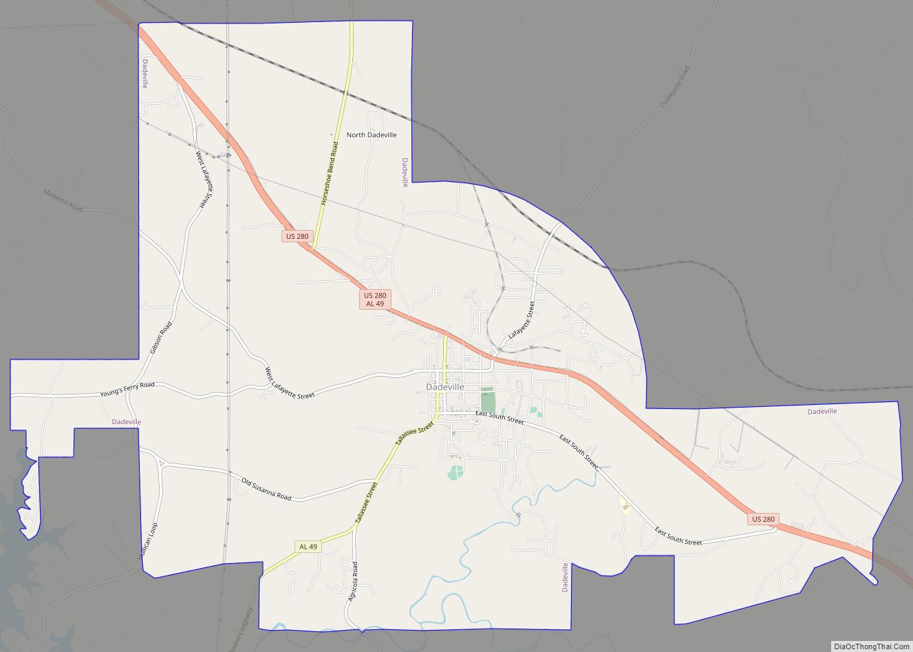
The town is located in the east central part of the state along U.S. Route 280 and Alabama State Route 50. U.S. 280 runs along the southwestern boundary of the town, leading southeast 21 mi (34 km) to Opelika; northwest 8 mi (13 km) to Dadeville, the Tallapoosa County seat; and 21 mi (34 km) northwest to Alexander City, the largest city in Tallapoosa County. AL-50 runs through the center of town, leading northeast 18 mi (29 km) to LaFayette, the county seat of Chambers County, and southwest 24 mi (39 km) to the unincorporated community of Red Hill in Elmore County. Birmingham is 92 mi (148 km) northwest via U.S. 280.
See also
Map of Alabama State and its subdivision:- Autauga
- Baldwin
- Barbour
- Bibb
- Blount
- Bullock
- Butler
- Calhoun
- Chambers
- Cherokee
- Chilton
- Choctaw
- Clarke
- Clay
- Cleburne
- Coffee
- Colbert
- Conecuh
- Coosa
- Covington
- Crenshaw
- Cullman
- Dale
- Dallas
- De Kalb
- Elmore
- Escambia
- Etowah
- Fayette
- Franklin
- Geneva
- Greene
- Hale
- Henry
- Houston
- Jackson
- Jefferson
- Lamar
- Lauderdale
- Lawrence
- Lee
- Limestone
- Lowndes
- Macon
- Madison
- Marengo
- Marion
- Marshall
- Mobile
- Monroe
- Montgomery
- Morgan
- Perry
- Pickens
- Pike
- Randolph
- Russell
- Saint Clair
- Shelby
- Sumter
- Talladega
- Tallapoosa
- Tuscaloosa
- Walker
- Washington
- Wilcox
- Winston
- Alabama
- Alaska
- Arizona
- Arkansas
- California
- Colorado
- Connecticut
- Delaware
- District of Columbia
- Florida
- Georgia
- Hawaii
- Idaho
- Illinois
- Indiana
- Iowa
- Kansas
- Kentucky
- Louisiana
- Maine
- Maryland
- Massachusetts
- Michigan
- Minnesota
- Mississippi
- Missouri
- Montana
- Nebraska
- Nevada
- New Hampshire
- New Jersey
- New Mexico
- New York
- North Carolina
- North Dakota
- Ohio
- Oklahoma
- Oregon
- Pennsylvania
- Rhode Island
- South Carolina
- South Dakota
- Tennessee
- Texas
- Utah
- Vermont
- Virginia
- Washington
- West Virginia
- Wisconsin
- Wyoming