Harpersville is a town in Shelby County, Alabama, United States. According to the 1950 U.S. Census, it formally incorporated in 1943. At the 2020 census the population was 1,614, compared to 1,637 in 2010 and 1,620 in 2000. It is located southeast of the Birmingham metro area.
| Name: | Harpersville town |
|---|---|
| LSAD Code: | 43 |
| LSAD Description: | town (suffix) |
| State: | Alabama |
| County: | Shelby County |
| Elevation: | 436 ft (133 m) |
| Total Area: | 21.65 sq mi (56.06 km²) |
| Land Area: | 21.29 sq mi (55.15 km²) |
| Water Area: | 0.35 sq mi (0.91 km²) |
| Total Population: | 1,614 |
| Population Density: | 75.80/sq mi (29.27/km²) |
| ZIP code: | 35078 |
| Area code: | 205, 659 |
| FIPS code: | 0133256 |
| GNISfeature ID: | 2406645 |
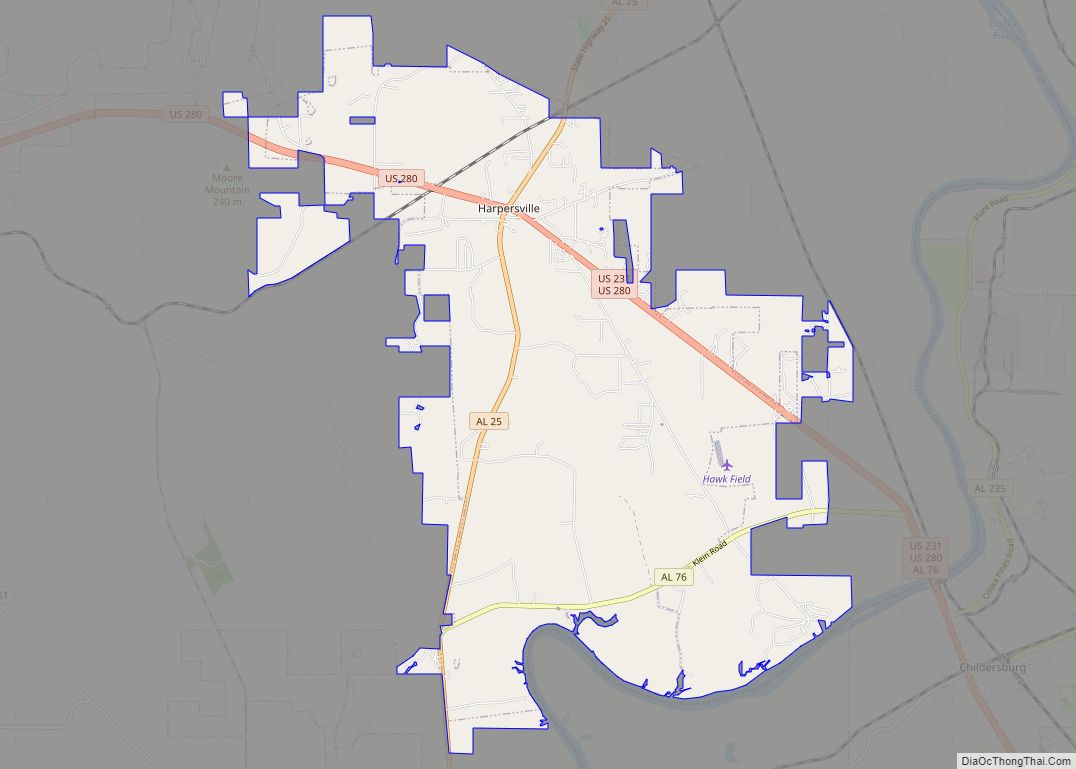
Online Interactive Map
Click on ![]() to view map in "full screen" mode.
to view map in "full screen" mode.
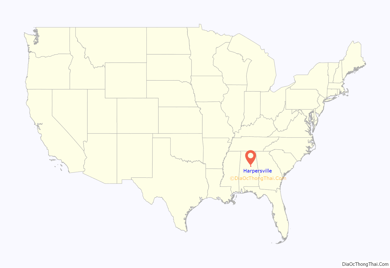
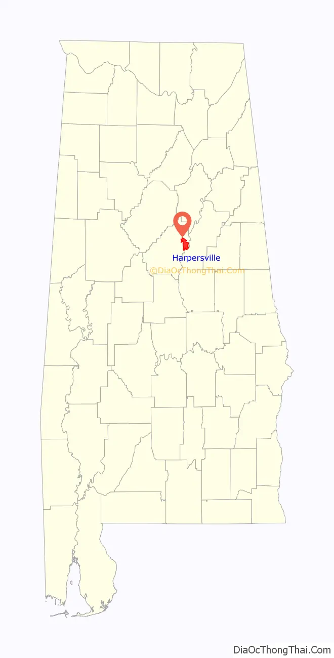
Harpersville location map. Where is Harpersville town?
History
Harpersville was settled just after the War of 1812 ended. It was originally called Big Springs.
Harpersville Municipal Court has been effectively taken over by Circuit Court Judge Hub Harrington as of 13 July 2012 in a case regarding Private probation. His order characterizes the municipal court as a debtors’ prison and extortion racket condoned by the elected officials of Harpersville and Judicial Correction Services.
Harpersville has two structures which are listed on the National Register of Historic Places, the Chancellor House and the Old Rock House.
Harpersville Road Map

Harpersville city Satellite Map

Geography
Harpersville is located in the eastern part of Shelby County at 33°19′33″N 86°25′34″W / 33.32583°N 86.42611°W / 33.32583; -86.42611 (33.325848, -86.426121). According to the U.S. Census Bureau, the town has a total area of 15.9 square miles (41 km), of which 15.9 square miles (41 km) is land and 0.06% is water. The town is located at the intersection of US Routes 280 and 231. US 280 runs east to west through the town, leading west 12 mi (19 km) to Chelsea and 30 mi (48 km) to downtown Birmingham. US 280 and 231 run southeast together 7 mi (11 km) to Childersburg. US 231 runs northeast 21 mi (34 km) to Pell City.
See also
Map of Alabama State and its subdivision:- Autauga
- Baldwin
- Barbour
- Bibb
- Blount
- Bullock
- Butler
- Calhoun
- Chambers
- Cherokee
- Chilton
- Choctaw
- Clarke
- Clay
- Cleburne
- Coffee
- Colbert
- Conecuh
- Coosa
- Covington
- Crenshaw
- Cullman
- Dale
- Dallas
- De Kalb
- Elmore
- Escambia
- Etowah
- Fayette
- Franklin
- Geneva
- Greene
- Hale
- Henry
- Houston
- Jackson
- Jefferson
- Lamar
- Lauderdale
- Lawrence
- Lee
- Limestone
- Lowndes
- Macon
- Madison
- Marengo
- Marion
- Marshall
- Mobile
- Monroe
- Montgomery
- Morgan
- Perry
- Pickens
- Pike
- Randolph
- Russell
- Saint Clair
- Shelby
- Sumter
- Talladega
- Tallapoosa
- Tuscaloosa
- Walker
- Washington
- Wilcox
- Winston
- Alabama
- Alaska
- Arizona
- Arkansas
- California
- Colorado
- Connecticut
- Delaware
- District of Columbia
- Florida
- Georgia
- Hawaii
- Idaho
- Illinois
- Indiana
- Iowa
- Kansas
- Kentucky
- Louisiana
- Maine
- Maryland
- Massachusetts
- Michigan
- Minnesota
- Mississippi
- Missouri
- Montana
- Nebraska
- Nevada
- New Hampshire
- New Jersey
- New Mexico
- New York
- North Carolina
- North Dakota
- Ohio
- Oklahoma
- Oregon
- Pennsylvania
- Rhode Island
- South Carolina
- South Dakota
- Tennessee
- Texas
- Utah
- Vermont
- Virginia
- Washington
- West Virginia
- Wisconsin
- Wyoming