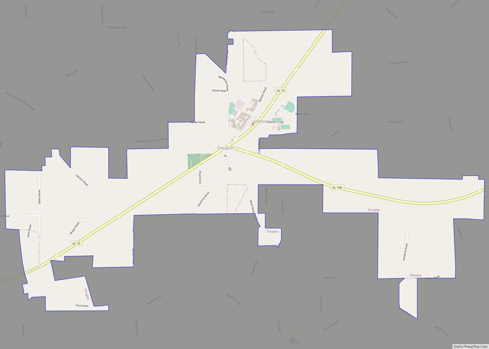
Douglas is a town in Marshall County, Alabama, United States. Douglas, a part of the Huntsville–Decatur Combined Statistical Area, had a population of 761 as of the 2020 census. The town incorporated in 1978.
| Name: | Douglas town |
|---|---|
| LSAD Code: | 43 |
| LSAD Description: | town (suffix) |
| State: | Alabama |
| County: | Marshall County |
| Elevation: | 945 ft (288 m) |
| Total Area: | 3.41 sq mi (8.84 km²) |
| Land Area: | 3.40 sq mi (8.82 km²) |
| Water Area: | 0.01 sq mi (0.02 km²) |
| Total Population: | 761 |
| Population Density: | 223.49/sq mi (86.30/km²) |
| ZIP code: | 35964 |
| Area code: | 256 |
| FIPS code: | 0121328 |
| GNISfeature ID: | 2406390 |
| Website: | www.douglasal.com |
Online Interactive Map
Click on ![]() to view map in "full screen" mode.
to view map in "full screen" mode.
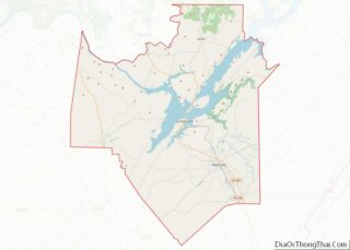
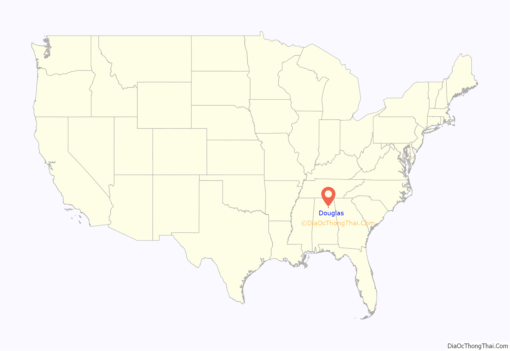
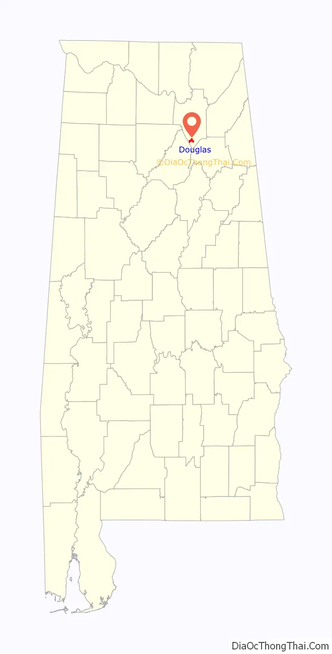
Douglas location map. Where is Douglas town?
History
Douglas was first settled in the mid-19th century. Its first school was built in 1898, followed by Douglas Academy in 1909.
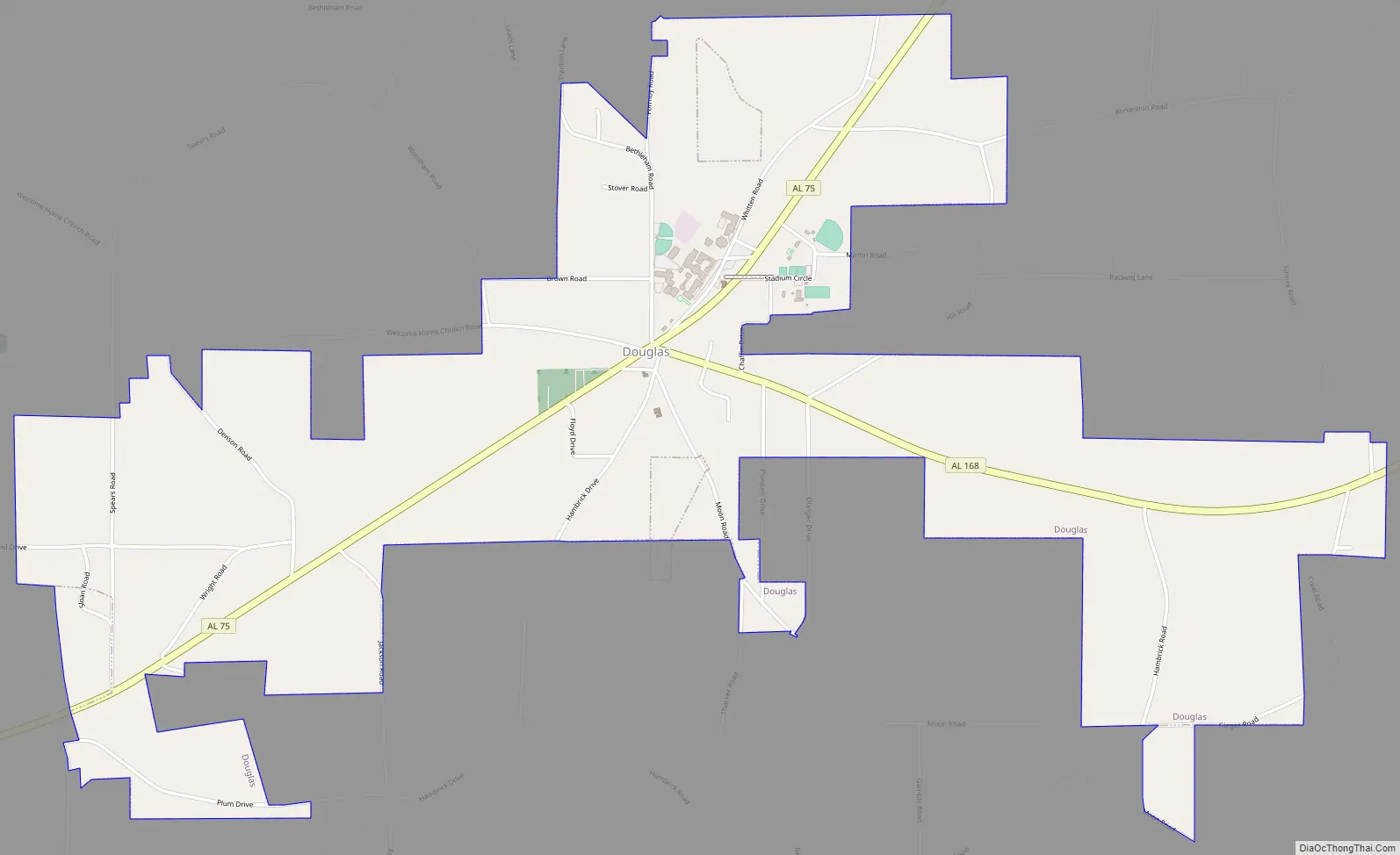
Douglas Road Map
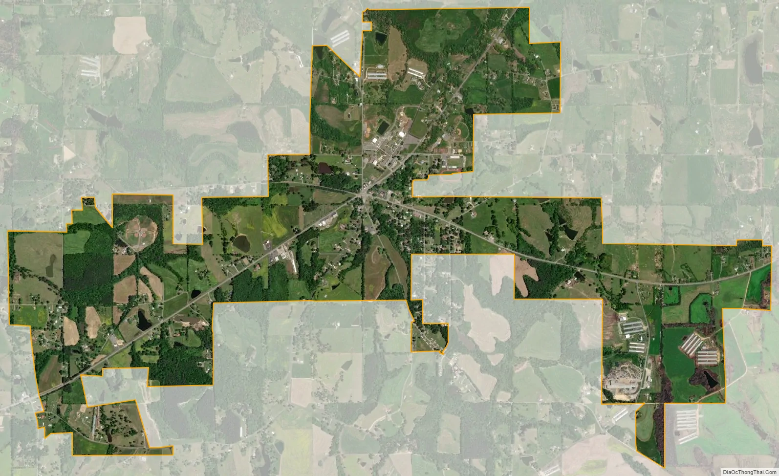
Douglas city Satellite Map
Geography
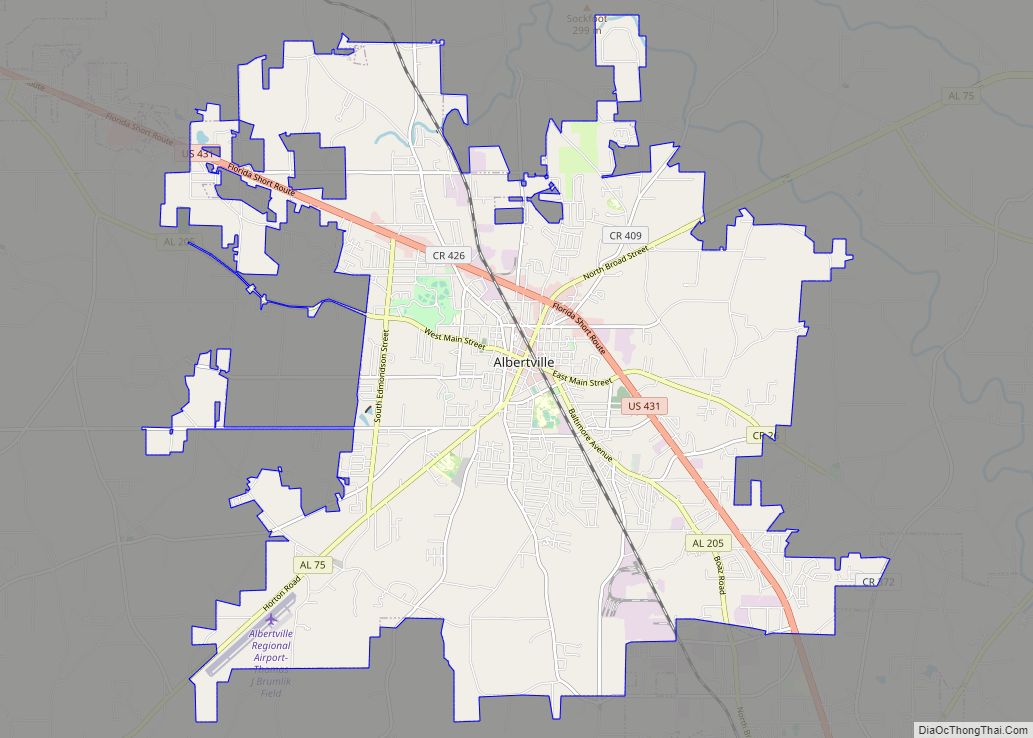
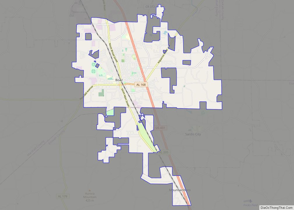
Douglas is located in southern Marshall County at 34°10′18″N 86°19′12″W / 34.17167°N 86.32000°W / 34.17167; -86.32000 (34.171631, -86.319967). The town is concentrated around the intersection of State Route 75 and State Route 168, 9 miles (14 km) southwest of Albertville, 11 miles (18 km) west of Boaz, and 6 miles (10 km) northeast of Snead. Guntersville Lake lies 15 miles (24 km) to the north.
According to the U.S. Census Bureau, the town of Douglas has a total area of 3.4 square miles (8.8 km), of which 0.01 square miles (0.02 km), or 0.24%, are water. Douglas sits at 940 feet (290 m) above sea level atop the southwest end of Sand Mountain, within the watershed of the Locust Fork of the Black Warrior River, which passes 5 miles (8 km) to the southwest of the town.
See also
Map of Alabama State and its subdivision:- Autauga
- Baldwin
- Barbour
- Bibb
- Blount
- Bullock
- Butler
- Calhoun
- Chambers
- Cherokee
- Chilton
- Choctaw
- Clarke
- Clay
- Cleburne
- Coffee
- Colbert
- Conecuh
- Coosa
- Covington
- Crenshaw
- Cullman
- Dale
- Dallas
- De Kalb
- Elmore
- Escambia
- Etowah
- Fayette
- Franklin
- Geneva
- Greene
- Hale
- Henry
- Houston
- Jackson
- Jefferson
- Lamar
- Lauderdale
- Lawrence
- Lee
- Limestone
- Lowndes
- Macon
- Madison
- Marengo
- Marion
- Marshall
- Mobile
- Monroe
- Montgomery
- Morgan
- Perry
- Pickens
- Pike
- Randolph
- Russell
- Saint Clair
- Shelby
- Sumter
- Talladega
- Tallapoosa
- Tuscaloosa
- Walker
- Washington
- Wilcox
- Winston
- Alabama
- Alaska
- Arizona
- Arkansas
- California
- Colorado
- Connecticut
- Delaware
- District of Columbia
- Florida
- Georgia
- Hawaii
- Idaho
- Illinois
- Indiana
- Iowa
- Kansas
- Kentucky
- Louisiana
- Maine
- Maryland
- Massachusetts
- Michigan
- Minnesota
- Mississippi
- Missouri
- Montana
- Nebraska
- Nevada
- New Hampshire
- New Jersey
- New Mexico
- New York
- North Carolina
- North Dakota
- Ohio
- Oklahoma
- Oregon
- Pennsylvania
- Rhode Island
- South Carolina
- South Dakota
- Tennessee
- Texas
- Utah
- Vermont
- Virginia
- Washington
- West Virginia
- Wisconsin
- Wyoming