Sardis City is a town in Etowah and Marshall counties in the U.S. state of Alabama. It is part of the Gadsden Metropolitan Statistical Area. It originally incorporated in May 1963 under the name of “Sardis”. It became Sardis City in the 1980s. At the 2020 census, the population was 1,814.
| Name: | Sardis City town |
|---|---|
| LSAD Code: | 43 |
| LSAD Description: | town (suffix) |
| State: | Alabama |
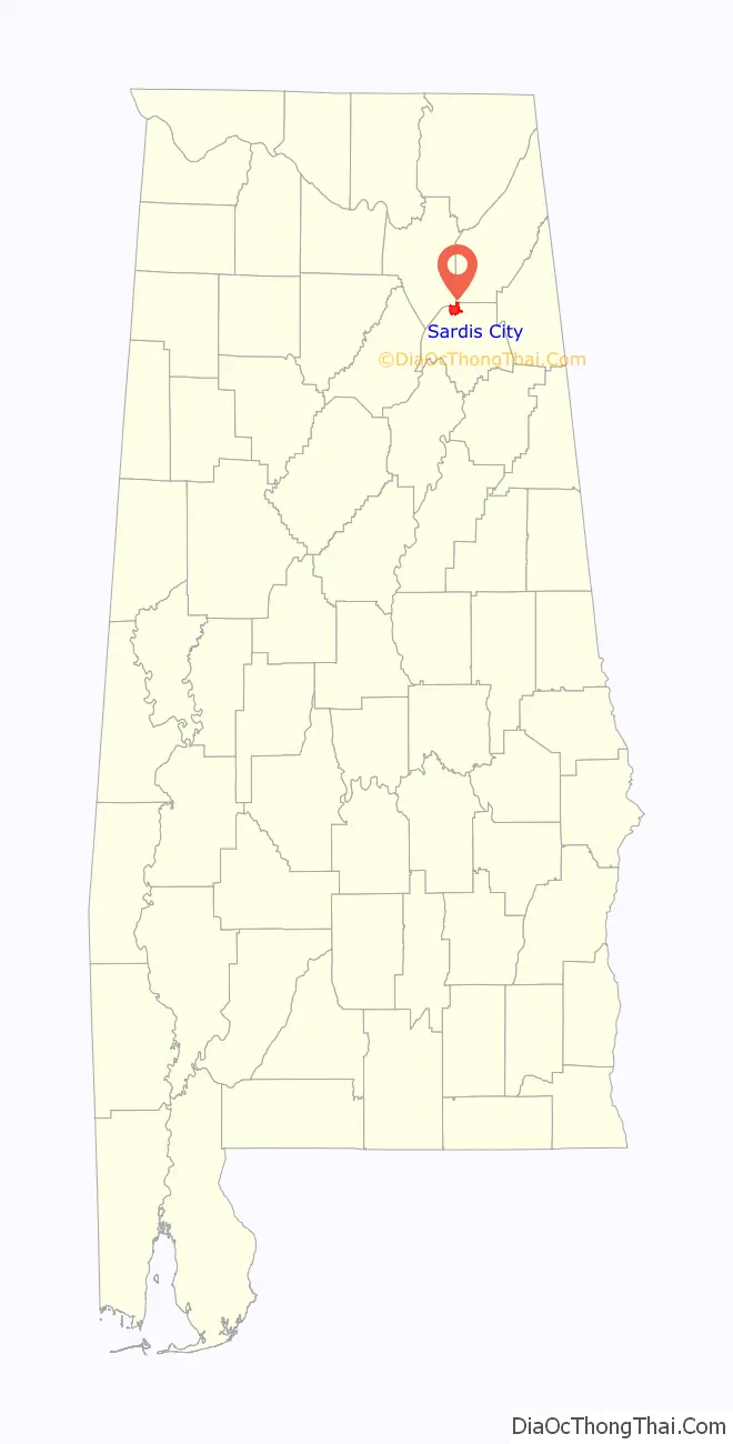
| County: | Etowah County, Marshall County |
| Elevation: | 1,066 ft (325 m) |
| Total Area: | 7.88 sq mi (20.41 km²) |
| Land Area: | 7.86 sq mi (20.37 km²) |
| Water Area: | 0.02 sq mi (0.04 km²) |
| Total Population: | 1,814 |
| Population Density: | 230.67/sq mi (89.06/km²) |
| ZIP code: | 35956 |
| Area code: | 256 |
| FIPS code: | 0168280 |
| GNISfeature ID: | 2407291 |
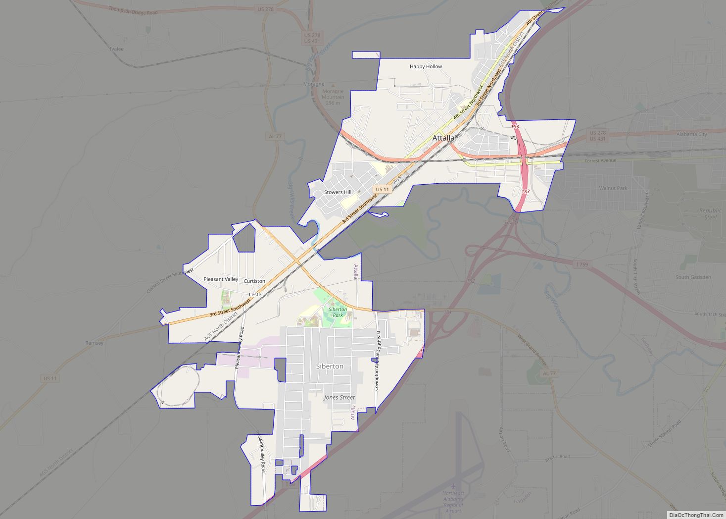
Online Interactive Map
Click on ![]() to view map in "full screen" mode.
to view map in "full screen" mode.
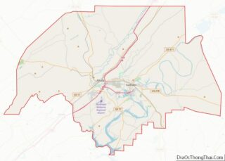
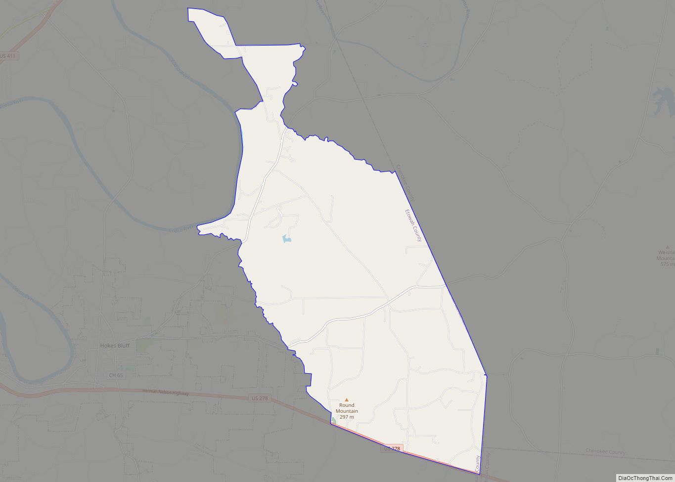
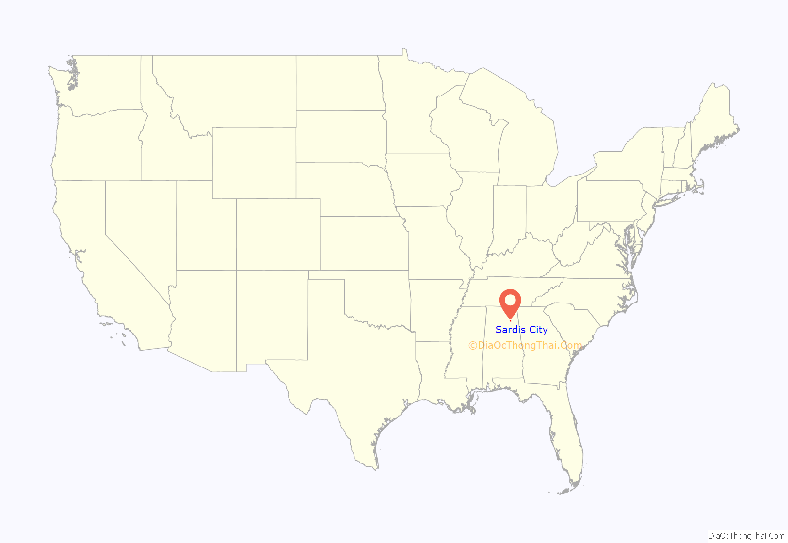
Sardis City location map. Where is Sardis City town?
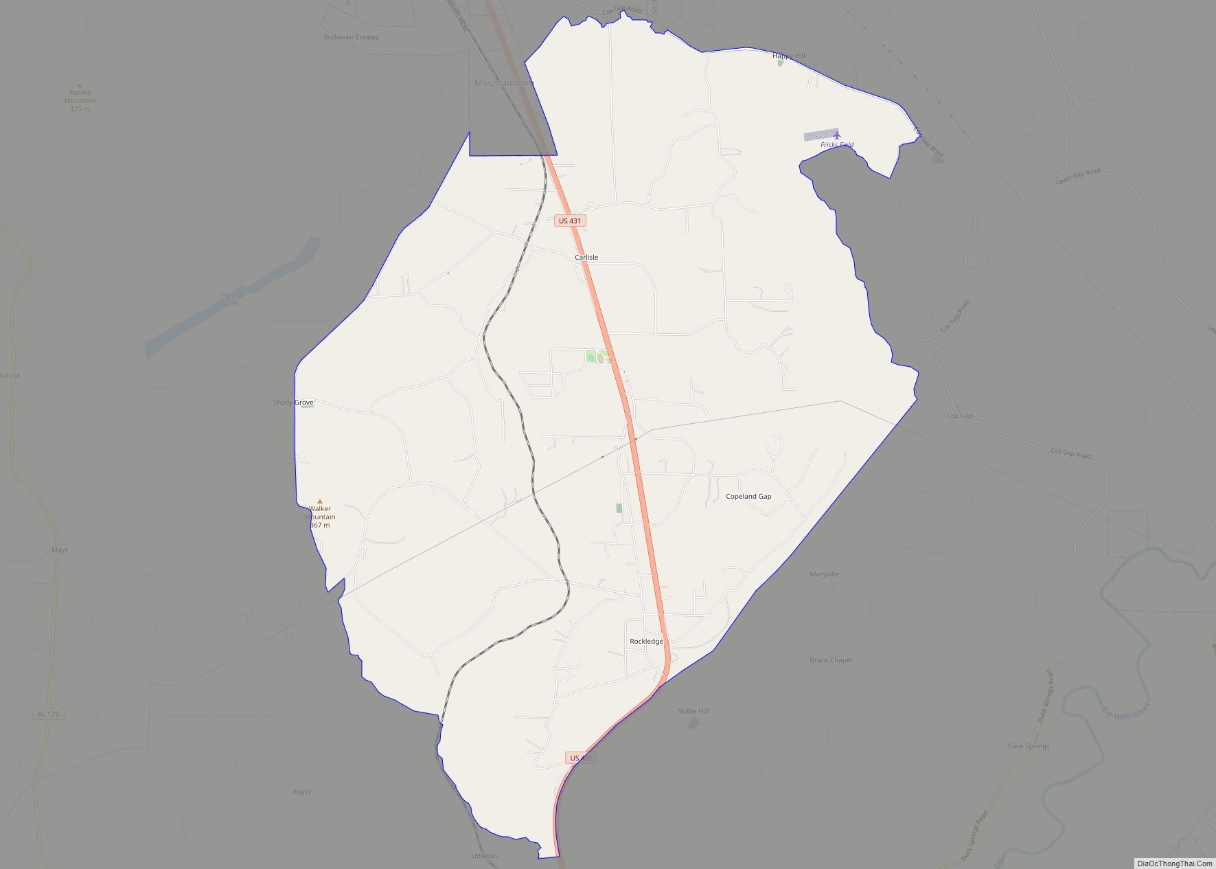
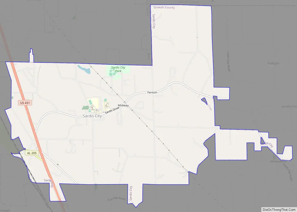
Sardis City Road Map
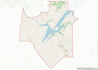
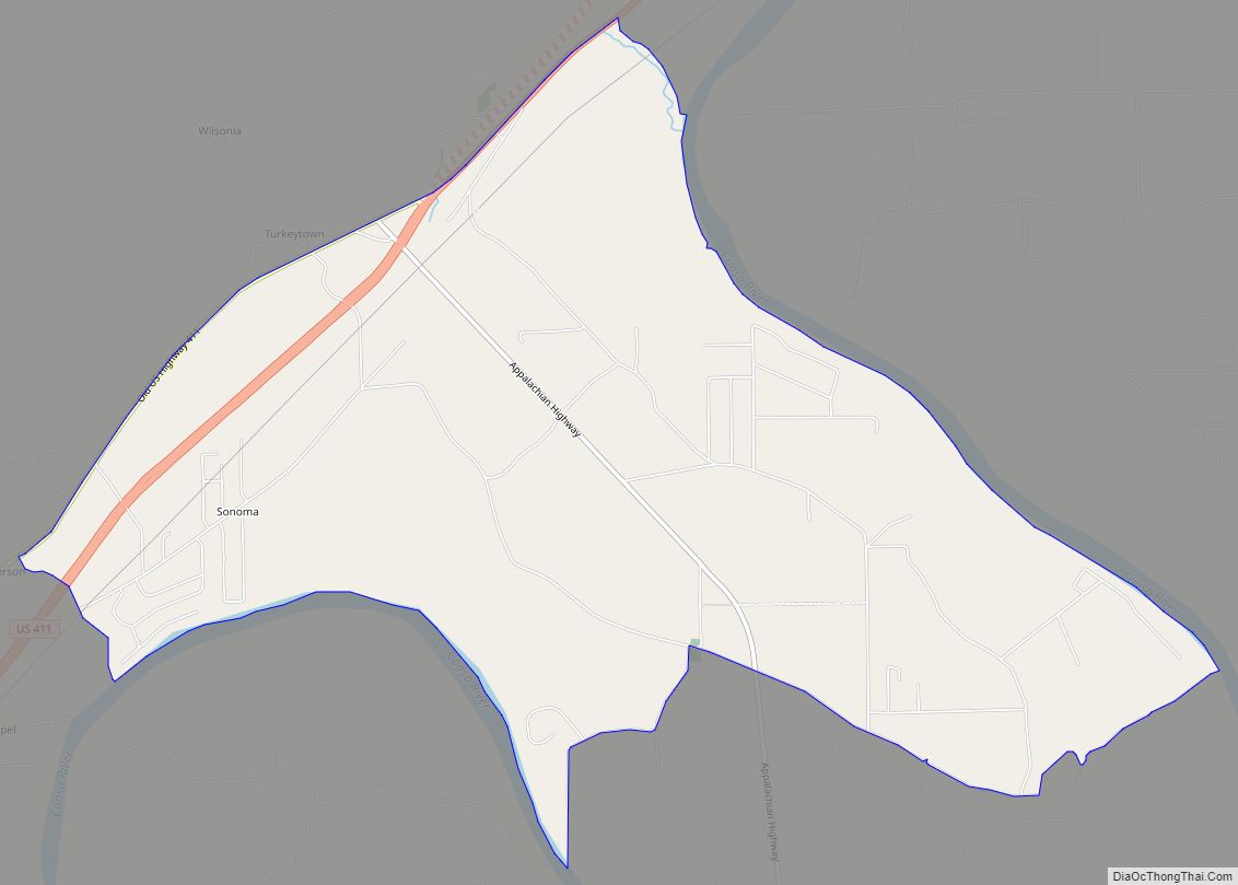
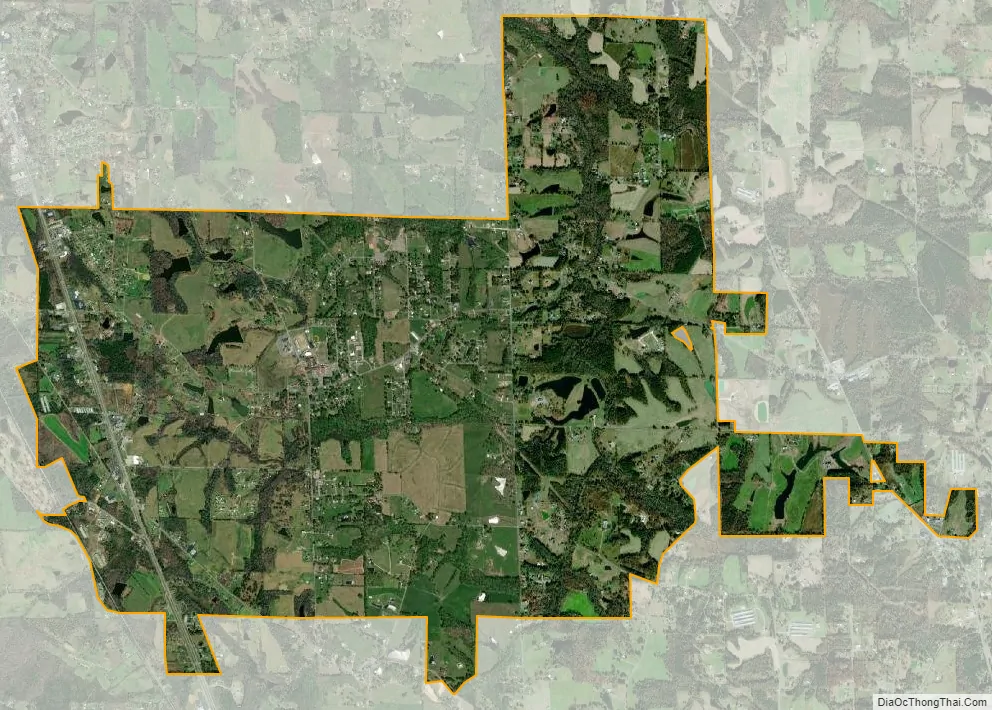
Sardis City city Satellite Map
Geography
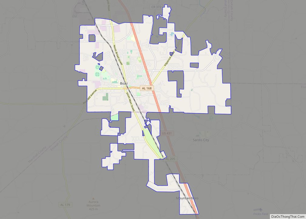
Sardis City is located in northern Etowah County at 34°10′26″N 86°7′17″W / 34.17389°N 86.12139°W / 34.17389; -86.12139 (34.173967, -86.121319). A very small section of the town extends north into Marshall County. The town is bordered to the north by the city of Boaz. U.S. Route 431 passes through the west side of the town, leading northwest through Boaz 8 miles (13 km) to Albertville and southeast 17 miles (27 km) to Gadsden, the Etowah county seat.
According to the U.S. Census Bureau, Sardis City has a total area of 7.9 square miles (20.4 km), of which 0.015 square miles (0.04 km), or 0.20%, are water. The town sits at 1,080 feet (330 m) above sea level atop the plateau of Sand Mountain. The town drains east to Short Creek, a north-flowing tributary of the Tennessee River. The Tennessee Valley Divide passes just west of the town limits.
See also
Map of Alabama State and its subdivision:- Autauga
- Baldwin
- Barbour
- Bibb
- Blount
- Bullock
- Butler
- Calhoun
- Chambers
- Cherokee
- Chilton
- Choctaw
- Clarke
- Clay
- Cleburne
- Coffee
- Colbert
- Conecuh
- Coosa
- Covington
- Crenshaw
- Cullman
- Dale
- Dallas
- De Kalb
- Elmore
- Escambia
- Etowah
- Fayette
- Franklin
- Geneva
- Greene
- Hale
- Henry
- Houston
- Jackson
- Jefferson
- Lamar
- Lauderdale
- Lawrence
- Lee
- Limestone
- Lowndes
- Macon
- Madison
- Marengo
- Marion
- Marshall
- Mobile
- Monroe
- Montgomery
- Morgan
- Perry
- Pickens
- Pike
- Randolph
- Russell
- Saint Clair
- Shelby
- Sumter
- Talladega
- Tallapoosa
- Tuscaloosa
- Walker
- Washington
- Wilcox
- Winston
- Alabama
- Alaska
- Arizona
- Arkansas
- California
- Colorado
- Connecticut
- Delaware
- District of Columbia
- Florida
- Georgia
- Hawaii
- Idaho
- Illinois
- Indiana
- Iowa
- Kansas
- Kentucky
- Louisiana
- Maine
- Maryland
- Massachusetts
- Michigan
- Minnesota
- Mississippi
- Missouri
- Montana
- Nebraska
- Nevada
- New Hampshire
- New Jersey
- New Mexico
- New York
- North Carolina
- North Dakota
- Ohio
- Oklahoma
- Oregon
- Pennsylvania
- Rhode Island
- South Carolina
- South Dakota
- Tennessee
- Texas
- Utah
- Vermont
- Virginia
- Washington
- West Virginia
- Wisconsin
- Wyoming