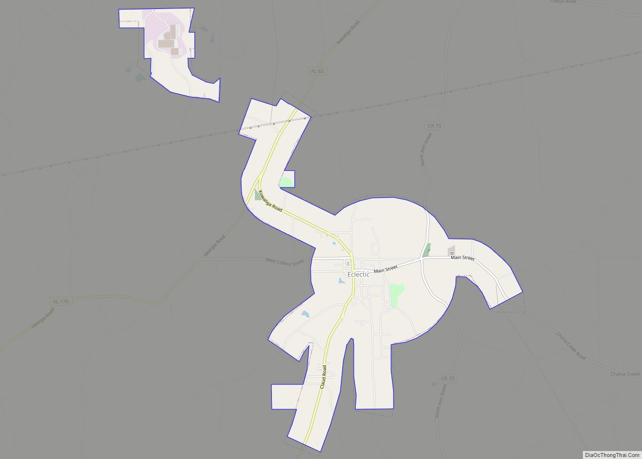
Eclectic is a town in Elmore County, Alabama, United States. It incorporated in 1907. At the 2020 census, the population was 1,193. It is part of the Montgomery Metropolitan Statistical Area.
| Name: | Eclectic town |
|---|---|
| LSAD Code: | 43 |
| LSAD Description: | town (suffix) |
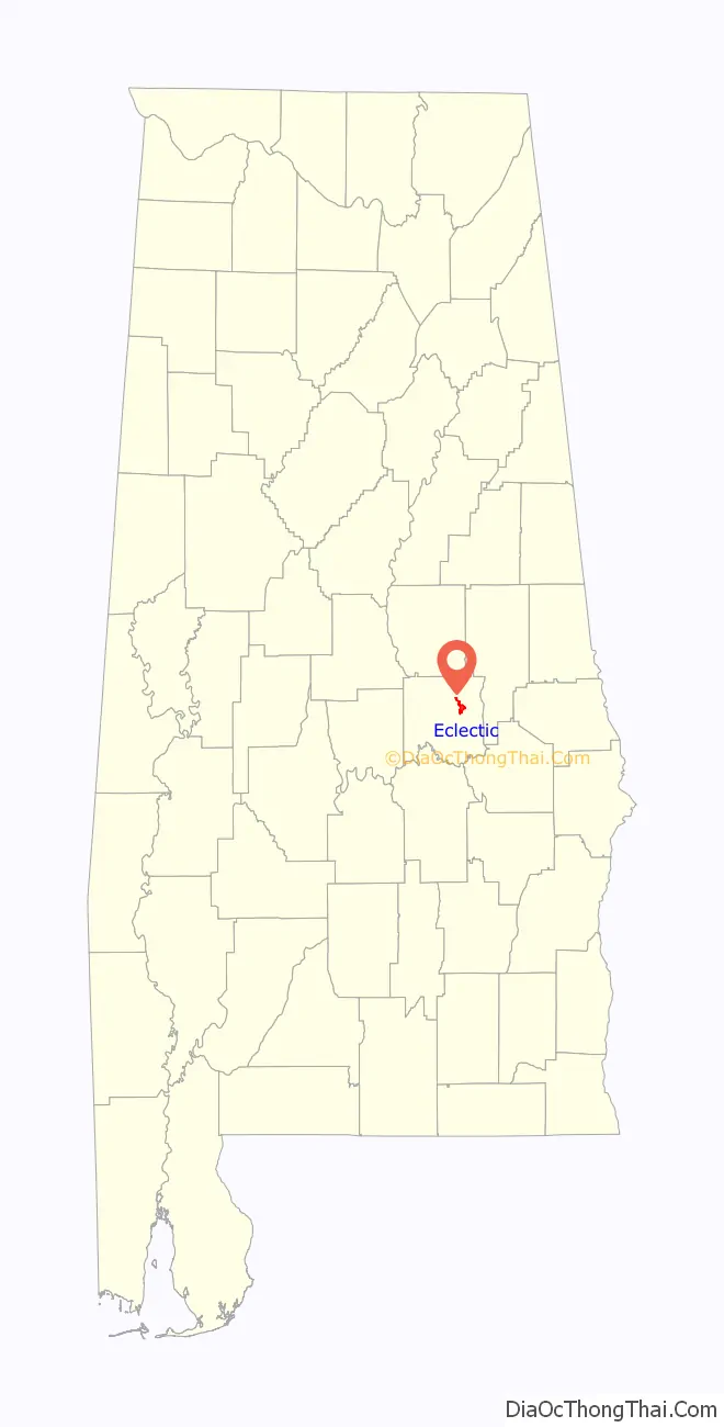
| State: | Alabama |
| County: | Elmore County |
| Elevation: | 581 ft (177 m) |
| Total Area: | 4.19 sq mi (10.85 km²) |
| Land Area: | 4.11 sq mi (10.65 km²) |
| Water Area: | 0.08 sq mi (0.20 km²) |
| Total Population: | 1,193 |
| Population Density: | 290.13/sq mi (112.01/km²) |
| ZIP code: | 36024 |
| Area code: | 334 |
| FIPS code: | 0122816 |
| GNISfeature ID: | 0117848 |
| Website: | http://www.townofeclectic.com |
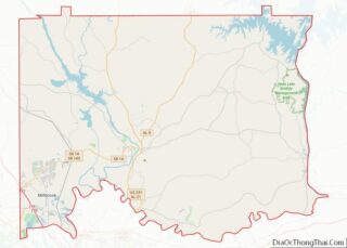
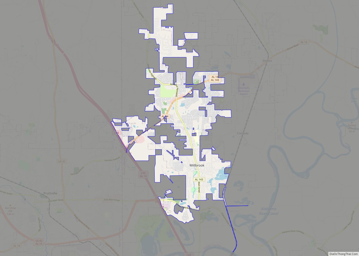
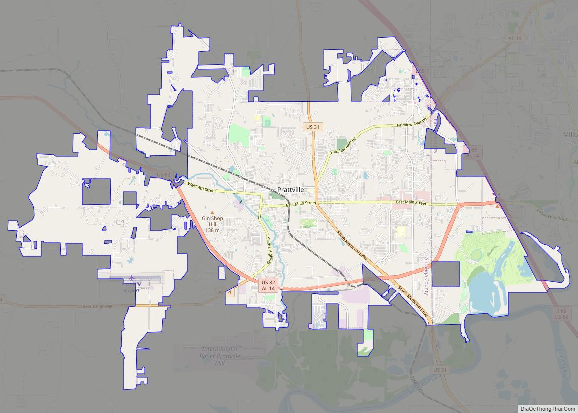
Online Interactive Map
Click on ![]() to view map in "full screen" mode.
to view map in "full screen" mode.
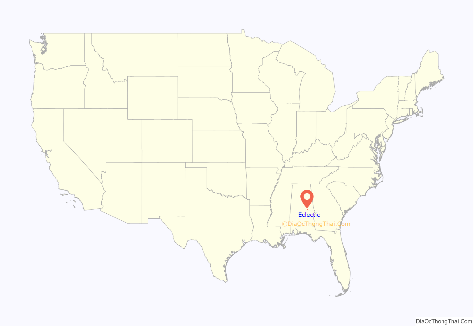
Eclectic location map. Where is Eclectic town?
History
Eclectic was founded by Dr. M. L. Fielder, a practitioner of eclectic medicine, hence the name. It has been noted on lists of unusual place names.
The first post office in Eclectic was established in 1879.
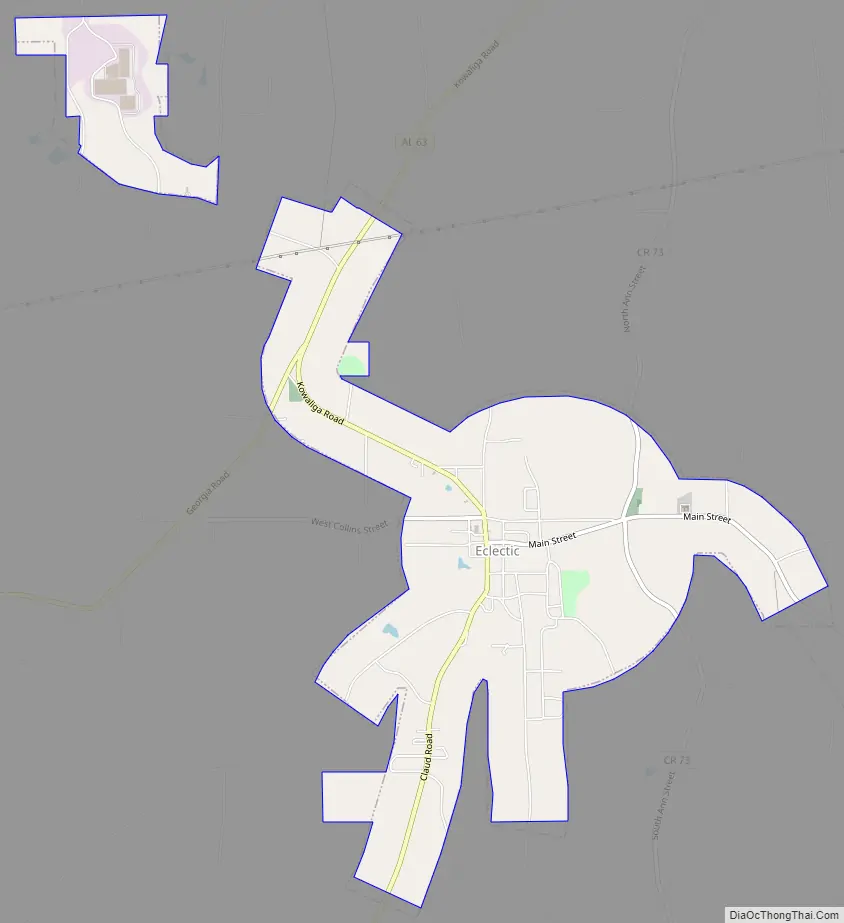
Eclectic Road Map
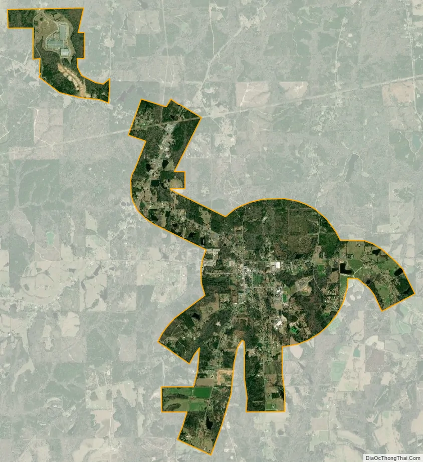
Eclectic city Satellite Map
Geography
Eclectic is located at 32°38′29″N 86°2′19″W / 32.64139°N 86.03861°W / 32.64139; -86.03861 (32.641285, -86.038571).
The town is located along Alabama State Route 63, which runs from south to north through the center of town, leading northeast 26 mi (42 km) to Alexander City and southwest 5 mi (8.0 km) to the unincorporated community of Claud. Alabama State Route 170 connects the town to Wetumpka, the Elmore County seat, 15 mi (24 km) to the southwest.
According to the U.S. Census Bureau, the town has a total area of 4.3 square miles (11 km), of which 4.2 square miles (11 km) is land and 0.1 square miles (0.26 km) (1.17%) is water.
See also
Map of Alabama State and its subdivision:- Autauga
- Baldwin
- Barbour
- Bibb
- Blount
- Bullock
- Butler
- Calhoun
- Chambers
- Cherokee
- Chilton
- Choctaw
- Clarke
- Clay
- Cleburne
- Coffee
- Colbert
- Conecuh
- Coosa
- Covington
- Crenshaw
- Cullman
- Dale
- Dallas
- De Kalb
- Elmore
- Escambia
- Etowah
- Fayette
- Franklin
- Geneva
- Greene
- Hale
- Henry
- Houston
- Jackson
- Jefferson
- Lamar
- Lauderdale
- Lawrence
- Lee
- Limestone
- Lowndes
- Macon
- Madison
- Marengo
- Marion
- Marshall
- Mobile
- Monroe
- Montgomery
- Morgan
- Perry
- Pickens
- Pike
- Randolph
- Russell
- Saint Clair
- Shelby
- Sumter
- Talladega
- Tallapoosa
- Tuscaloosa
- Walker
- Washington
- Wilcox
- Winston
- Alabama
- Alaska
- Arizona
- Arkansas
- California
- Colorado
- Connecticut
- Delaware
- District of Columbia
- Florida
- Georgia
- Hawaii
- Idaho
- Illinois
- Indiana
- Iowa
- Kansas
- Kentucky
- Louisiana
- Maine
- Maryland
- Massachusetts
- Michigan
- Minnesota
- Mississippi
- Missouri
- Montana
- Nebraska
- Nevada
- New Hampshire
- New Jersey
- New Mexico
- New York
- North Carolina
- North Dakota
- Ohio
- Oklahoma
- Oregon
- Pennsylvania
- Rhode Island
- South Carolina
- South Dakota
- Tennessee
- Texas
- Utah
- Vermont
- Virginia
- Washington
- West Virginia
- Wisconsin
- Wyoming