Elkmont is a town in Limestone County, Alabama, United States, and is included in the Huntsville-Decatur Combined Statistical Area. As of the 2010 census, the population of the town was 434, down from its record high of 470 in 2000.
| Name: | Elkmont town |
|---|---|
| LSAD Code: | 43 |
| LSAD Description: | town (suffix) |
| State: | Alabama |
| County: | Limestone County |
| Incorporated: | March 28, 1873 |
| Elevation: | 843 ft (257 m) |
| Total Area: | 1.65 sq mi (4.28 km²) |
| Land Area: | 1.64 sq mi (4.25 km²) |
| Water Area: | 0.01 sq mi (0.03 km²) |
| Total Population: | 411 |
| Population Density: | 250.15/sq mi (96.61/km²) |
| ZIP code: | 35620 |
| Area code: | 256 |
| FIPS code: | 0123488 |
| GNISfeature ID: | 2406437 |
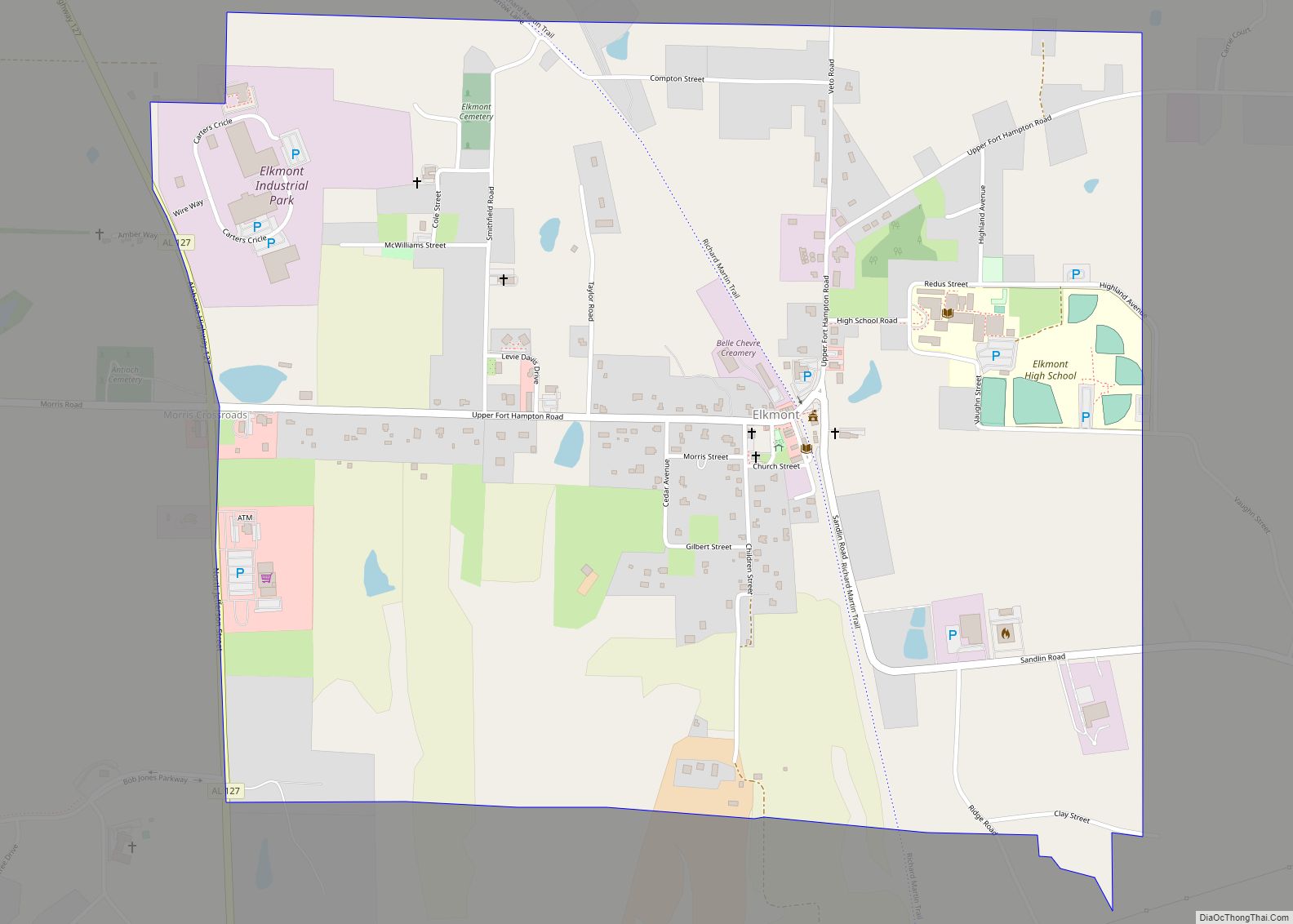
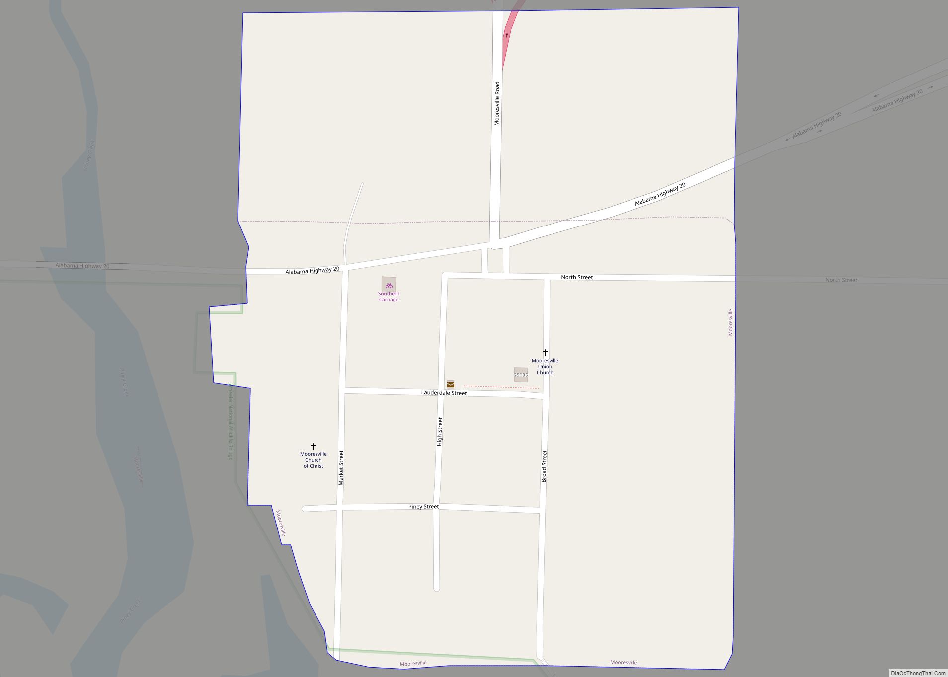
Online Interactive Map
Click on ![]() to view map in "full screen" mode.
to view map in "full screen" mode.
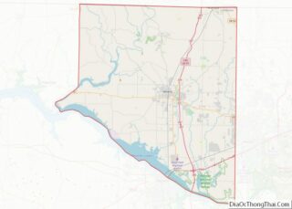
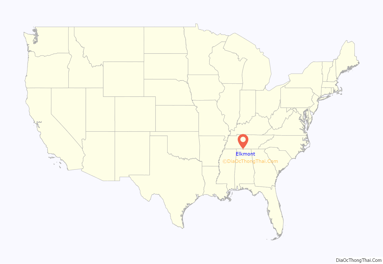
Elkmont location map. Where is Elkmont town?
History
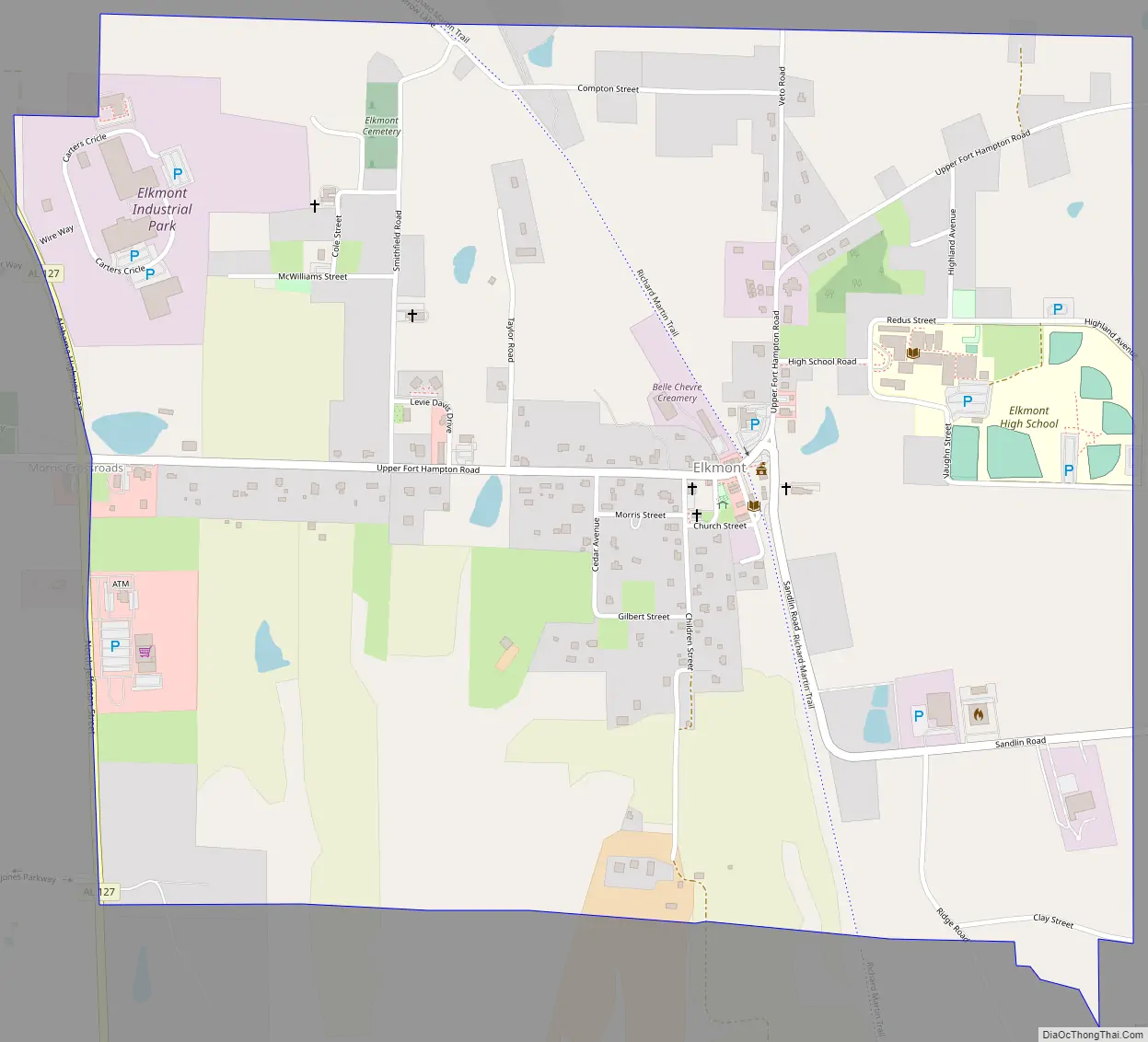
Elkmont began as a stop known as “Fort Hampton” along the newly-constructed Tennessee and Alabama Central Railroad in 1859. The name was changed to “Elkmont,” after the elk that once flourished in the area, in 1866. The Tennessee and Alabama Central eventually became part of the L&N Railroad system, which built the current depot (now used as a community center) in 1887. The railroad tracks have since been removed, and are now part of the Richard Martin Trail. Elkmont incorporated in 1873.
During the Civil War, the Battle of Sulphur Creek Trestle was fought just south of Elkmont in September 1864. The site is now listed on the National Register of Historic Places.
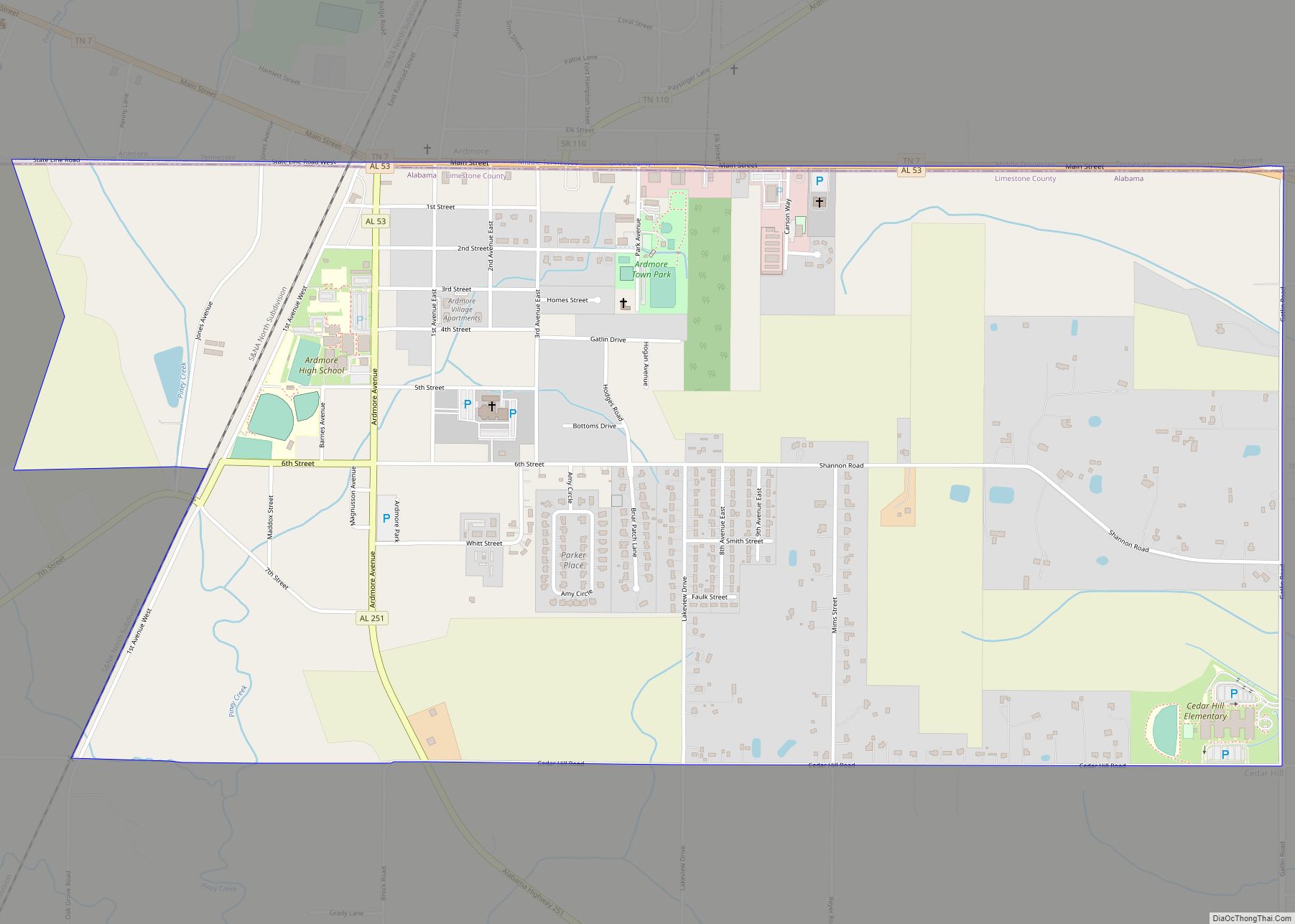
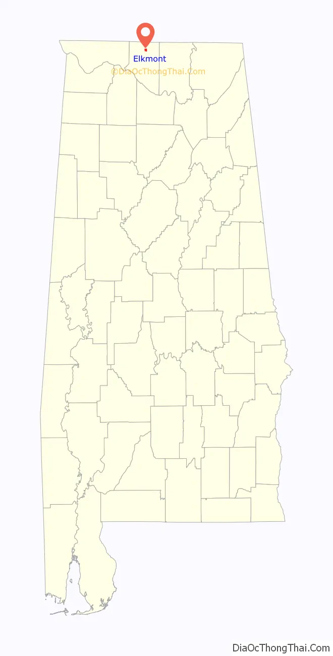
Elkmont Road Map
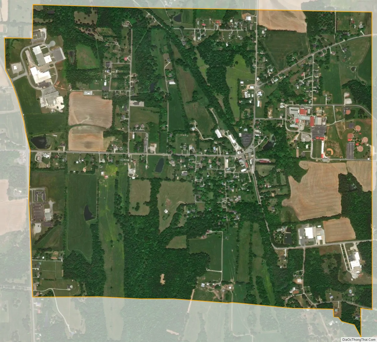
Elkmont city Satellite Map
Geography
Elkmont is located at 34°55′49″N 86°58′38″W / 34.93028°N 86.97722°W / 34.93028; -86.97722 (34.930155, -86.977086). The town is concentrated around the intersection of County Road 49 (Upper Fort Hampton Road) and the old railroad line (now the Richard Martin Trail), several miles north of Athens, and a few miles south of the Alabama-Tennessee state line. Interstate 65 passes to the east of Elkmont, and the Elk River passes to the west. State Route 127 runs along a portion of Elkmont’s western municipal boundary.
According to the U.S. Census Bureau, the town has a total area of 1.6 square miles (4.1 km), all land.
See also
Map of Alabama State and its subdivision:- Autauga
- Baldwin
- Barbour
- Bibb
- Blount
- Bullock
- Butler
- Calhoun
- Chambers
- Cherokee
- Chilton
- Choctaw
- Clarke
- Clay
- Cleburne
- Coffee
- Colbert
- Conecuh
- Coosa
- Covington
- Crenshaw
- Cullman
- Dale
- Dallas
- De Kalb
- Elmore
- Escambia
- Etowah
- Fayette
- Franklin
- Geneva
- Greene
- Hale
- Henry
- Houston
- Jackson
- Jefferson
- Lamar
- Lauderdale
- Lawrence
- Lee
- Limestone
- Lowndes
- Macon
- Madison
- Marengo
- Marion
- Marshall
- Mobile
- Monroe
- Montgomery
- Morgan
- Perry
- Pickens
- Pike
- Randolph
- Russell
- Saint Clair
- Shelby
- Sumter
- Talladega
- Tallapoosa
- Tuscaloosa
- Walker
- Washington
- Wilcox
- Winston
- Alabama
- Alaska
- Arizona
- Arkansas
- California
- Colorado
- Connecticut
- Delaware
- District of Columbia
- Florida
- Georgia
- Hawaii
- Idaho
- Illinois
- Indiana
- Iowa
- Kansas
- Kentucky
- Louisiana
- Maine
- Maryland
- Massachusetts
- Michigan
- Minnesota
- Mississippi
- Missouri
- Montana
- Nebraska
- Nevada
- New Hampshire
- New Jersey
- New Mexico
- New York
- North Carolina
- North Dakota
- Ohio
- Oklahoma
- Oregon
- Pennsylvania
- Rhode Island
- South Carolina
- South Dakota
- Tennessee
- Texas
- Utah
- Vermont
- Virginia
- Washington
- West Virginia
- Wisconsin
- Wyoming