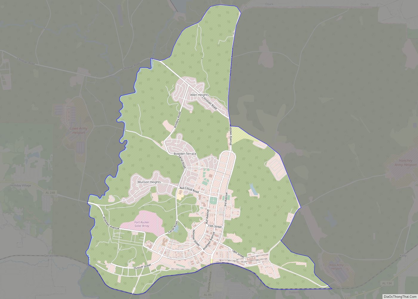
Fort Novosel (formerly Fort Rucker) is a United States Army post located primarily in Dale County, Alabama, United States. It is named in honor of Chief Warrant Officer Michael J. Novosel, an Army aviator and medal of honor recipient. It was previously named for a Civil War officer, Confederate Colonel Edmund Rucker. The post is the primary flight training installation for U.S. Army Aviators and is home to the United States Army Aviation Center of Excellence (USAACE) and the United States Army Aviation Museum. Small sections of the post also lie in Coffee, Geneva, and Houston counties. Part of the Dale County section of the base is a census-designated place; its population was 4,636 at the 2010 census.
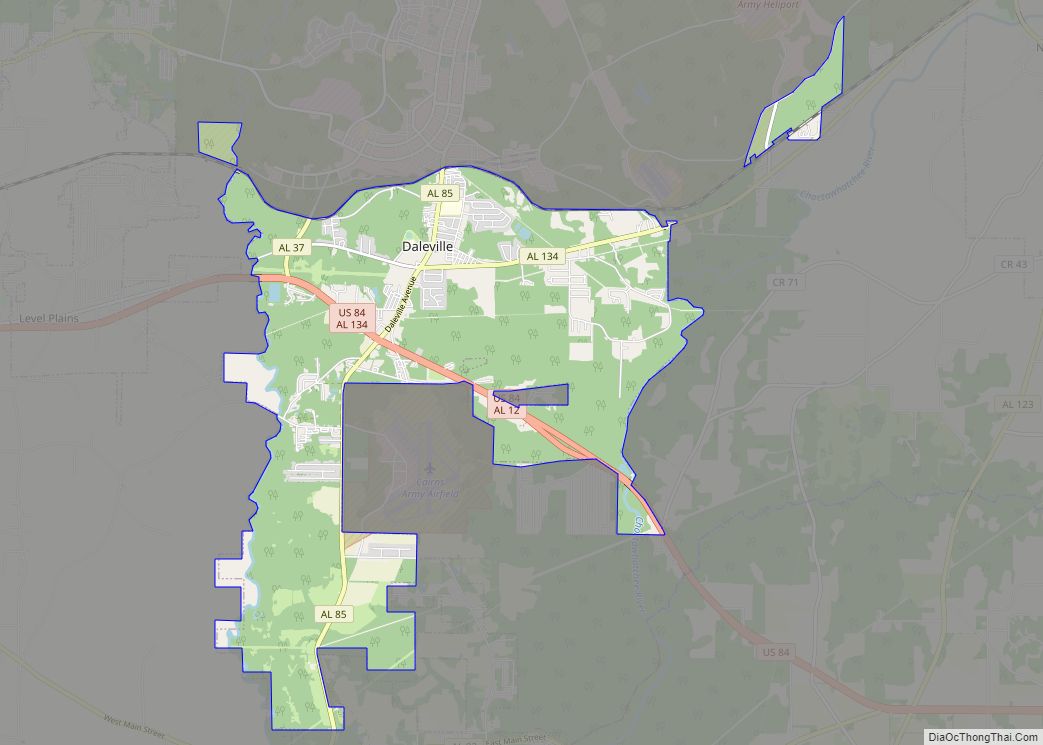
The main post has entrances from three bordering cities, Daleville, Ozark and Enterprise. In the years before the September 11, 2001 attacks, the main post (except airfields and other restricted areas) was an open post with unmanned gates allowing civilians to drive through. Following the attacks, this policy was changed, and the post is now closed to unauthorized traffic and visitors.
It was one of the U.S. Army installations named for Confederate soldiers that was recommended for renaming by The Naming Commission. Their recommendation was that the post be renamed Fort Novosel. On 5 January 2023 William A. LaPlante, US under-secretary of defense for acquisition and sustainment (USD (A&S)) directed the full implementation of the recommendations of the Naming Commission, DoD-wide. The post was redesignated Fort Novosel on 10 April 2023.
| Name: | Fort Rucker CDP |
|---|---|
| LSAD Code: | 57 |
| LSAD Description: | CDP (suffix) |
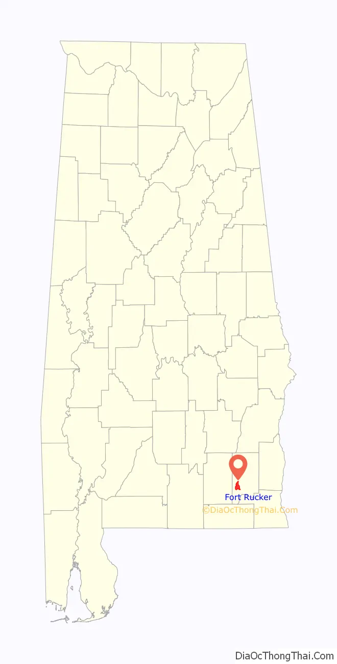
| State: | Alabama |
| County: | Dale County |
| FIPS code: | 0127640 |
Online Interactive Map
Click on ![]() to view map in "full screen" mode.
to view map in "full screen" mode.
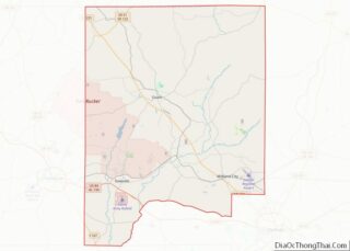
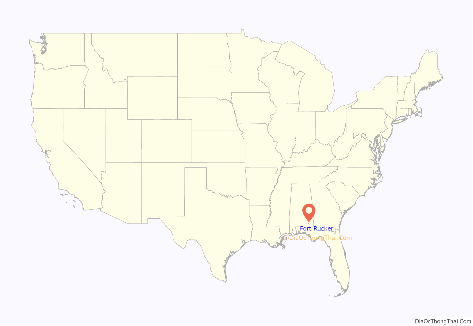
Fort Rucker location map. Where is Fort Rucker CDP?
History
The original name of the post was Ozark Triangular Division Camp, but before the camp was officially opened during World War II on 1 May 1942, the War Department named it Camp Rucker. The post was named in honor of Colonel Edmund W. Rucker, a Civil War Confederate officer, who was given the honorary title of “General,” and who became an industrial leader in Birmingham after the war. Fort Novosel (situated on 58,000 acres (235 km) of sub-marginal farmland, and formerly a wildlife refuge) was opened on 1 May 1942 as “Camp Rucker”. It had quarters for 3,280 officers and 39,461 enlisted personnel.
In September 1942, 1,259 additional acres south of Daleville were acquired to construct an airfield to support the training camp. It was known as Ozark Army Airfield until January 1959, when the name was changed to Cairns Army Airfield. The first troops to train at Camp Rucker were those of the 81st Infantry Division; the 81st Division left Rucker for action in the Pacific Theater in March 1943. Three other infantry divisions received training at Camp Rucker during the war—the 35th, the 98th, and the 66th. The 66th (Panther) Division left for the European Theater in October 1944.
Camp Rucker was also used to train dozens of units of less than division size; these included tank, infantry replacement, and Women’s Army Corps units. During the latter part of World War II, several hundred German and a few Italian prisoners of war were housed in stockades near the railroad east of the warehouse area, on the southern edge of the post. The 91st Infantry Division was sent to Camp Rucker at the war’s end, deactivated in December 1945.
Camp Rucker was inactive from March 1946 until August 1950. It was reopened during the Korean War. The Minnesota Army National Guard’s 47th Infantry Division was mobilized and sent to Camp Rucker in the fall of 1950; the division provided cadre that would conduct basic training of soldiers, who would later on, be sent as replacements to units in Korea. The 47th Infantry Division would remain at Camp Rucker throughout the war. After another short deactivation, it reopened and expanded when it became a helicopter training base. The name was changed to “Fort Rucker” in October 1955.
The Hanchey Army Airfield became the home of the Department of Rotary Wing Training of the Army Aviation School on 5 October 1959, marking the first time the department was centralized.
Fort Rucker suffered damage from three significant tornadoes within two years in 1972 and 1973. The first, rated F2, struck on 13 January 1972. It damaged buildings and helicopters on the post and devastated two nearby trailer parks, killing four people and injuring 88, all army dependents. An F3 tornado struck the post on 29 December 1973, causing minor damage to residences and striking a tank storage area. A second F3 tornado hit a day later, heavily damaging 30 government and residential buildings at Fort Rucker, 5 of which were destroyed.
Renaming
The 2021 National Defense Authorization Act calls for the establishment of an eight-person committee to develop a plan to remove all names, symbols, displays, and monuments that honor or commemorate the Confederacy from all Department of Defense assets, including the former Fort Rucker. In 2021, The Moore family started a petition to rename the fort in honor of Benjamin O. Davis Jr., the first black brigadier general in the USAF.
The Naming Commission later recommended that the fort be renamed in honor of Chief Warrant Officer Michael J. Novosel, an Army aviator. The post was officially renamed on 10 April 2023.
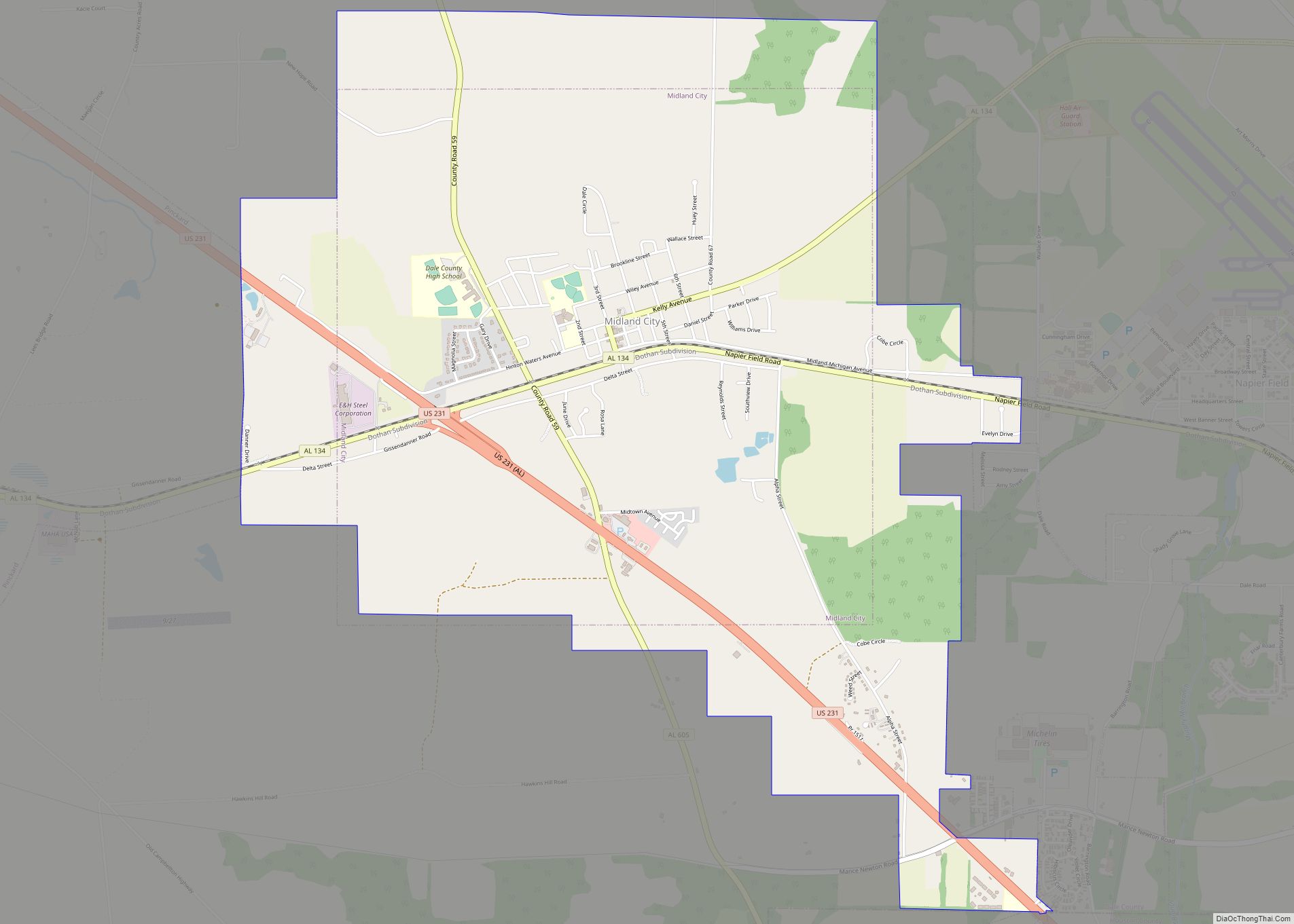
Fort Rucker Road Map
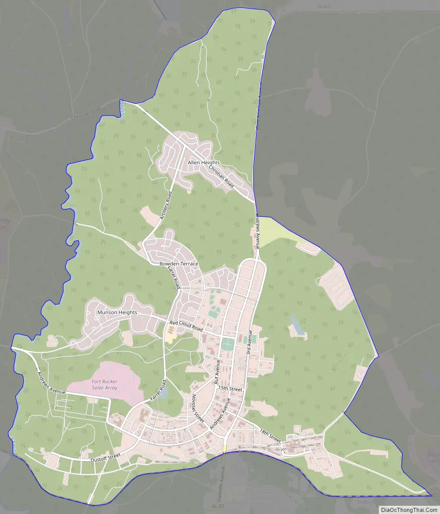
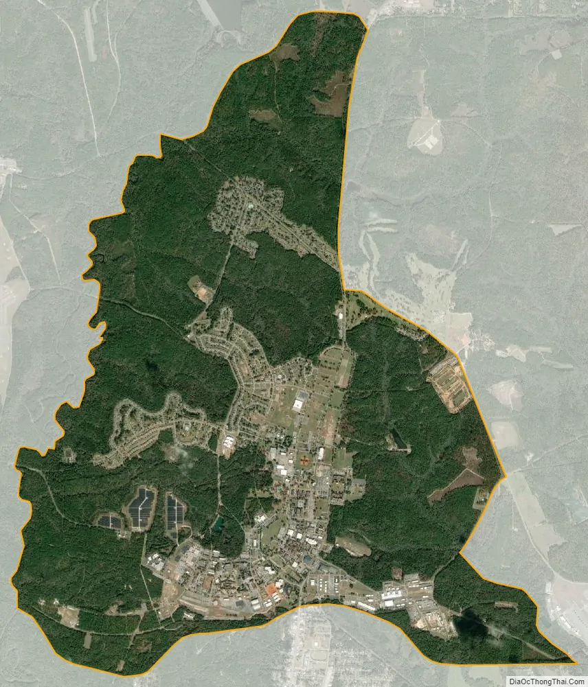
Fort Rucker city Satellite Map
Geography
Fort Novosel is located at 31°20’37” north, 85°42’29” west (31.343654, -85.707995).
According to the U.S. Census Bureau, the CDP area of the base has a total area of 10.9 square miles (28.2 km), of which 10.9 square miles (28.2 km) is land and 0.04 square mile (0.1 km) (0.18%) is water.
See also
Map of Alabama State and its subdivision:- Autauga
- Baldwin
- Barbour
- Bibb
- Blount
- Bullock
- Butler
- Calhoun
- Chambers
- Cherokee
- Chilton
- Choctaw
- Clarke
- Clay
- Cleburne
- Coffee
- Colbert
- Conecuh
- Coosa
- Covington
- Crenshaw
- Cullman
- Dale
- Dallas
- De Kalb
- Elmore
- Escambia
- Etowah
- Fayette
- Franklin
- Geneva
- Greene
- Hale
- Henry
- Houston
- Jackson
- Jefferson
- Lamar
- Lauderdale
- Lawrence
- Lee
- Limestone
- Lowndes
- Macon
- Madison
- Marengo
- Marion
- Marshall
- Mobile
- Monroe
- Montgomery
- Morgan
- Perry
- Pickens
- Pike
- Randolph
- Russell
- Saint Clair
- Shelby
- Sumter
- Talladega
- Tallapoosa
- Tuscaloosa
- Walker
- Washington
- Wilcox
- Winston
- Alabama
- Alaska
- Arizona
- Arkansas
- California
- Colorado
- Connecticut
- Delaware
- District of Columbia
- Florida
- Georgia
- Hawaii
- Idaho
- Illinois
- Indiana
- Iowa
- Kansas
- Kentucky
- Louisiana
- Maine
- Maryland
- Massachusetts
- Michigan
- Minnesota
- Mississippi
- Missouri
- Montana
- Nebraska
- Nevada
- New Hampshire
- New Jersey
- New Mexico
- New York
- North Carolina
- North Dakota
- Ohio
- Oklahoma
- Oregon
- Pennsylvania
- Rhode Island
- South Carolina
- South Dakota
- Tennessee
- Texas
- Utah
- Vermont
- Virginia
- Washington
- West Virginia
- Wisconsin
- Wyoming