Garden City is a town in Cullman and Blount counties in the U.S. state of Alabama. At the 2020 census, the population was 528. Garden City was founded by Johann Cullmann, namesake of Cullman County in 1873 after founding Cullman, Alabama. It was located in Blount County and was incorporated in 1878 (although other sources claim 1911). Cullman County was created in 1877. Garden City was annexed by Cullman County with a shift in county borders until 1901. After a lapse in its incorporation, it was re-incorporated in 1950.
| Name: | Garden City town |
|---|---|
| LSAD Code: | 43 |
| LSAD Description: | town (suffix) |
| State: | Alabama |
| County: | Blount County, Cullman County |
| Elevation: | 502 ft (153 m) |
| Total Area: | 2.28 sq mi (5.92 km²) |
| Land Area: | 2.26 sq mi (5.85 km²) |
| Water Area: | 0.03 sq mi (0.07 km²) |
| Total Population: | 528 |
| Population Density: | 233.84/sq mi (90.27/km²) |
| ZIP code: | 35070 |
| Area code: | 256 |
| FIPS code: | 0129032 |
| GNISfeature ID: | 0118820 |
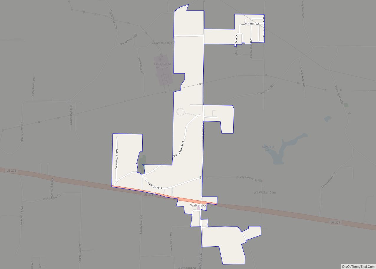
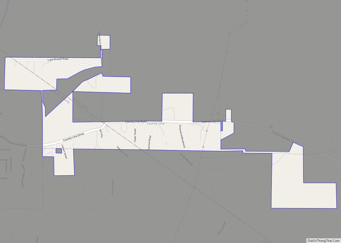
Online Interactive Map
Click on ![]() to view map in "full screen" mode.
to view map in "full screen" mode.
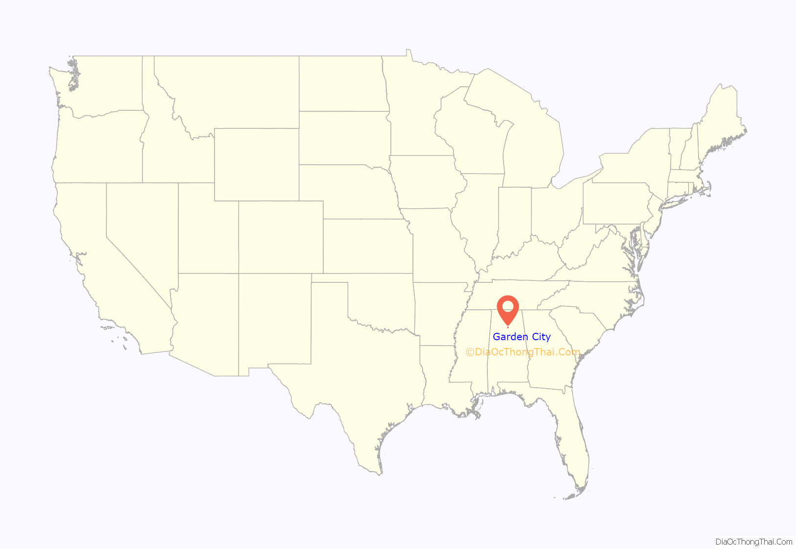
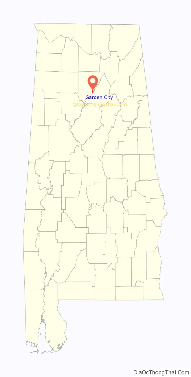
Garden City location map. Where is Garden City town?
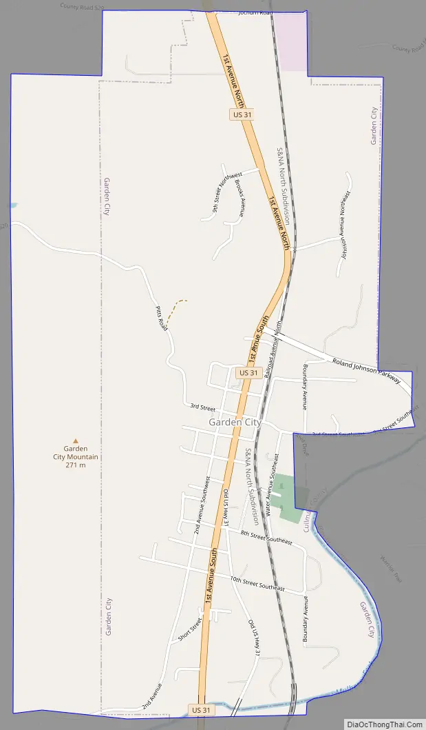
Garden City Road Map
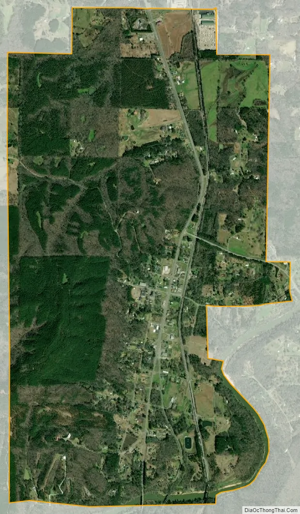
Garden City city Satellite Map
Geography
Garden City is located near the southeastern border of Cullman County at 34°0’33.160″ North, 86°44’53.372″ West (34.009211, -86.748159). The Mulberry Fork of the Black Warrior River forms the county line and the southeastern border of the town. U.S. Route 31 (1st Avenue) passes through the center of the town, leading north 13 miles (21 km) to Cullman, the county seat, and south 39 miles (63 km) to Birmingham.
According to the U.S. Census Bureau, the town has a total area of 3.1 square miles (7.9 km), of which 3.0 square miles (7.8 km) is land and 0.039 square miles (0.1 km), or 0.84%, is water.
See also
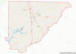
Map of Alabama State and its subdivision:- Autauga
- Baldwin
- Barbour
- Bibb
- Blount
- Bullock
- Butler
- Calhoun
- Chambers
- Cherokee
- Chilton
- Choctaw
- Clarke
- Clay
- Cleburne
- Coffee
- Colbert
- Conecuh
- Coosa
- Covington
- Crenshaw
- Cullman
- Dale
- Dallas
- De Kalb
- Elmore
- Escambia
- Etowah
- Fayette
- Franklin
- Geneva
- Greene
- Hale
- Henry
- Houston
- Jackson
- Jefferson
- Lamar
- Lauderdale
- Lawrence
- Lee
- Limestone
- Lowndes
- Macon
- Madison
- Marengo
- Marion
- Marshall
- Mobile
- Monroe
- Montgomery
- Morgan
- Perry
- Pickens
- Pike
- Randolph
- Russell
- Saint Clair
- Shelby
- Sumter
- Talladega
- Tallapoosa
- Tuscaloosa
- Walker
- Washington
- Wilcox
- Winston
- Alabama
- Alaska
- Arizona
- Arkansas
- California
- Colorado
- Connecticut
- Delaware
- District of Columbia
- Florida
- Georgia
- Hawaii
- Idaho
- Illinois
- Indiana
- Iowa
- Kansas
- Kentucky
- Louisiana
- Maine
- Maryland
- Massachusetts
- Michigan
- Minnesota
- Mississippi
- Missouri
- Montana
- Nebraska
- Nevada
- New Hampshire
- New Jersey
- New Mexico
- New York
- North Carolina
- North Dakota
- Ohio
- Oklahoma
- Oregon
- Pennsylvania
- Rhode Island
- South Carolina
- South Dakota
- Tennessee
- Texas
- Utah
- Vermont
- Virginia
- Washington
- West Virginia
- Wisconsin
- Wyoming