Good Hope is a city in Cullman County, Alabama, United States. As of the 2010 census, the population of the city was 2,264. It incorporated in April 1962.
| Name: | Good Hope city |
|---|---|
| LSAD Code: | 25 |
| LSAD Description: | city (suffix) |
| State: | Alabama |
| County: | Cullman County |
| Elevation: | 669 ft (204 m) |
| Total Area: | 7.90 sq mi (20.45 km²) |
| Land Area: | 7.85 sq mi (20.32 km²) |
| Water Area: | 0.05 sq mi (0.12 km²) |
| Total Population: | 2,483 |
| Population Density: | 316.43/sq mi (122.17/km²) |
| FIPS code: | 0130496 |
| GNISfeature ID: | 2406587 |
| Website: | goodhopeal.com |
Online Interactive Map
Click on ![]() to view map in "full screen" mode.
to view map in "full screen" mode.
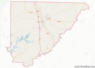
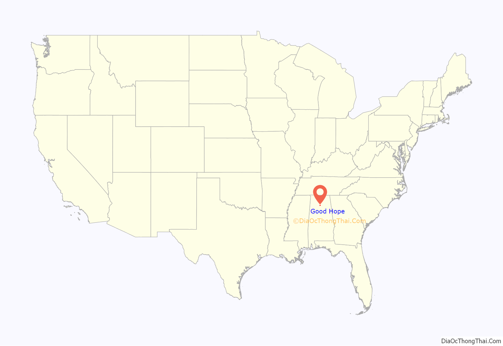
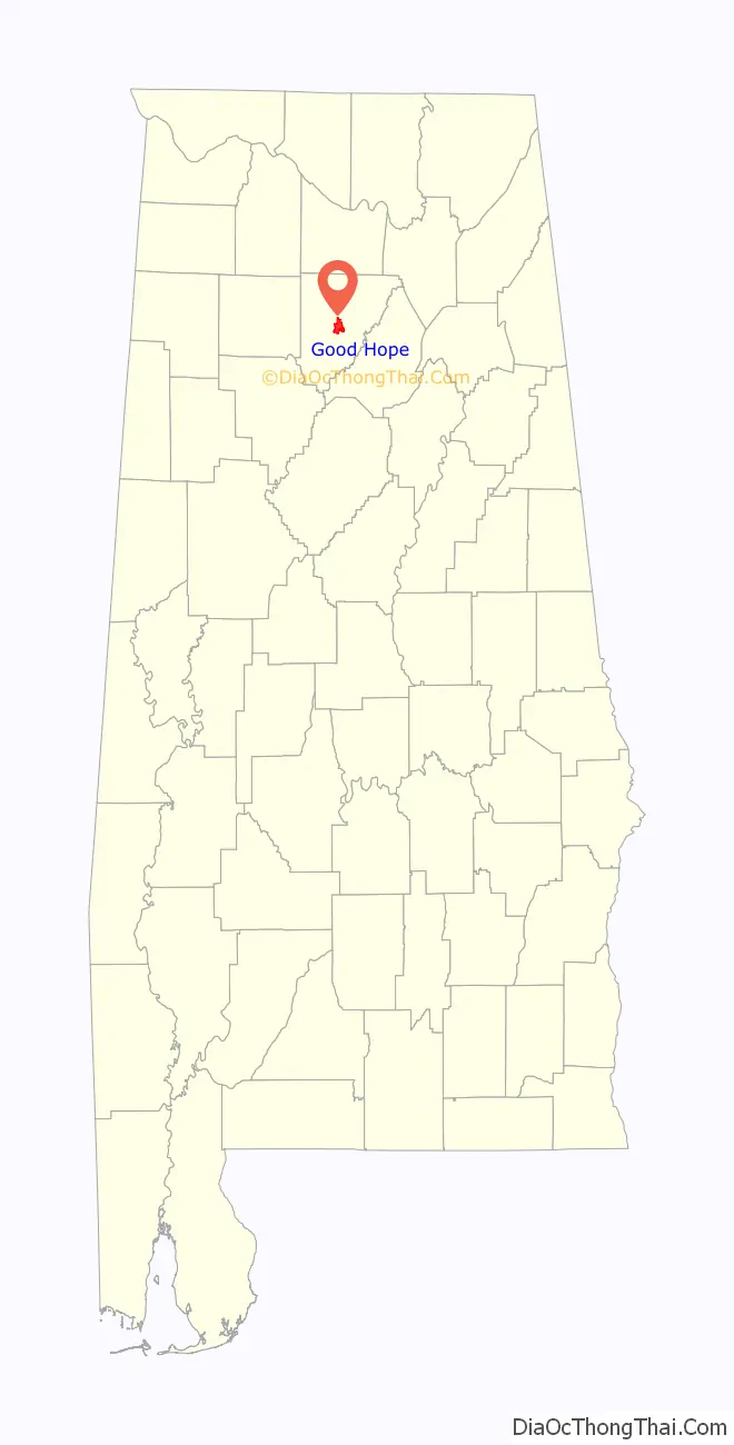
Good Hope location map. Where is Good Hope city?
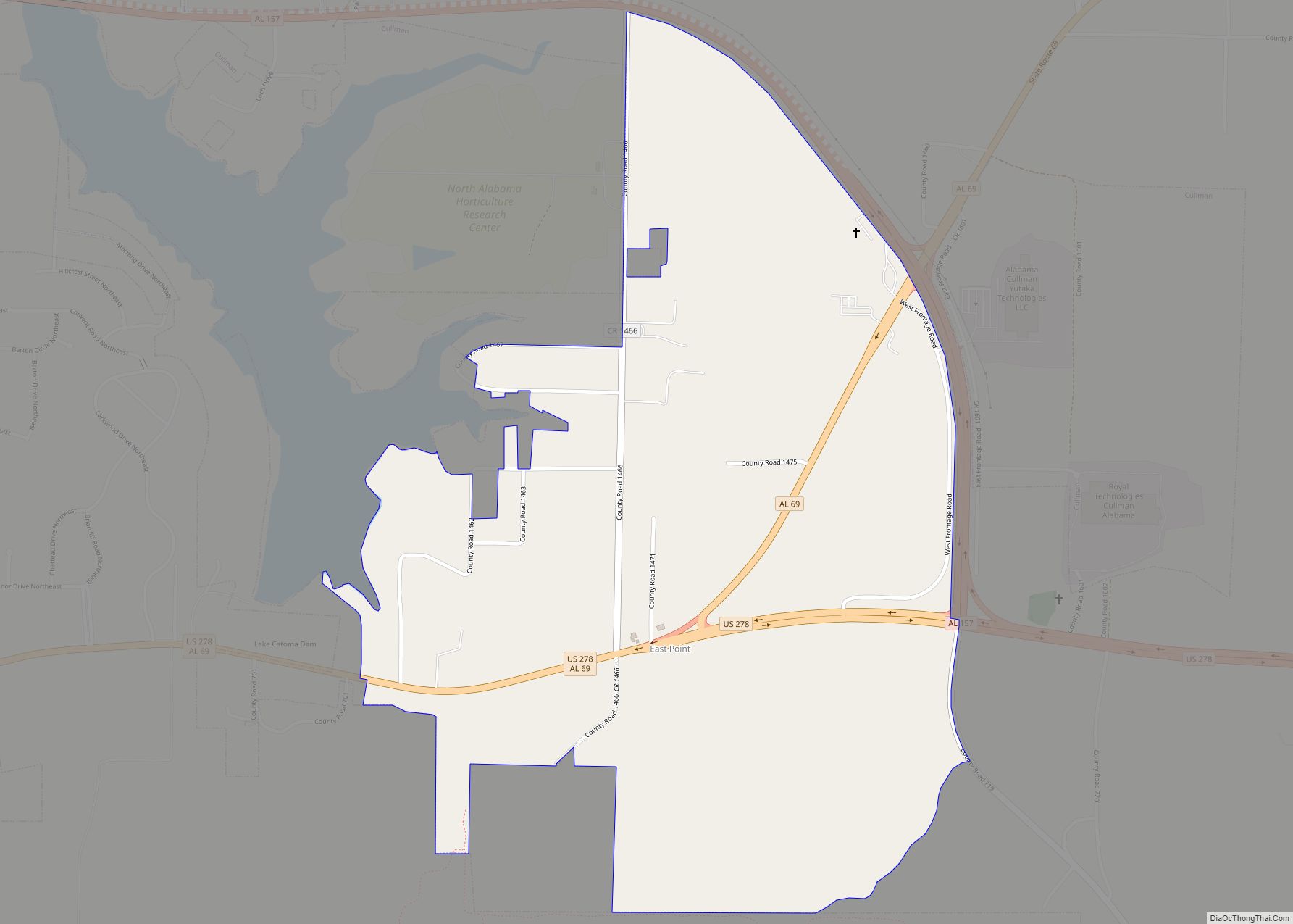
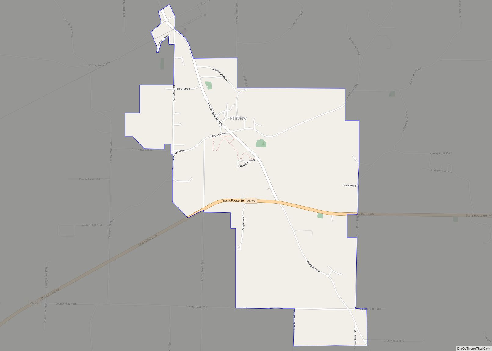
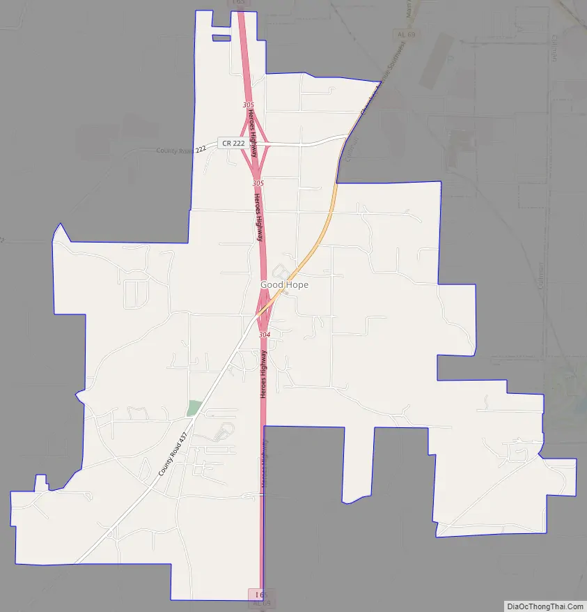
Good Hope Road Map
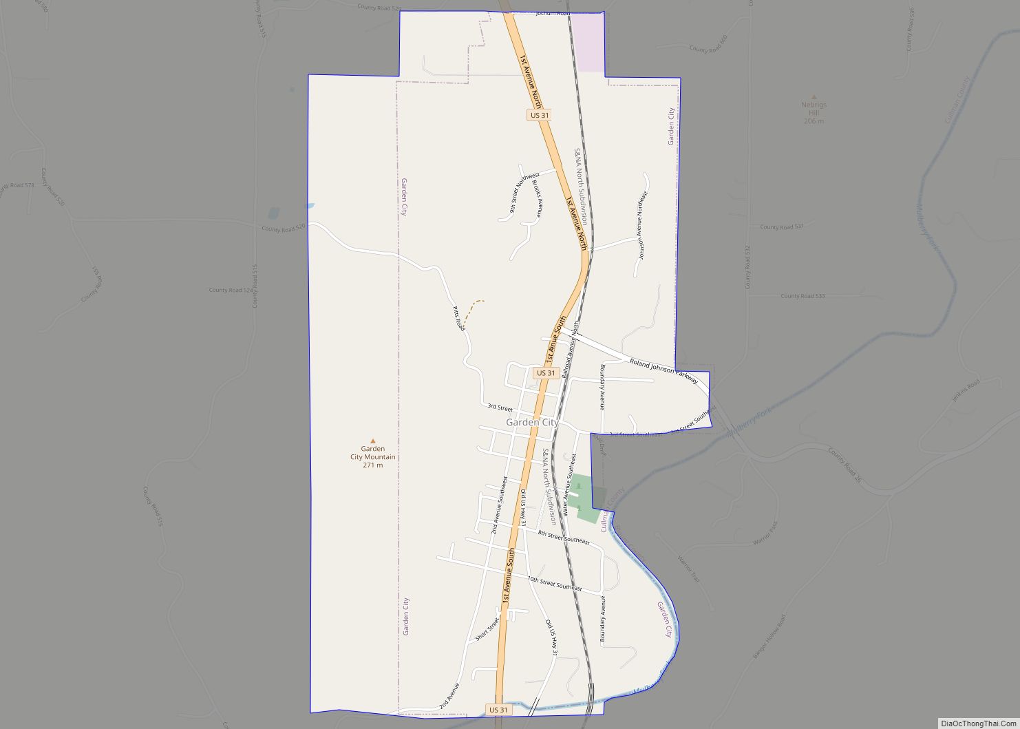
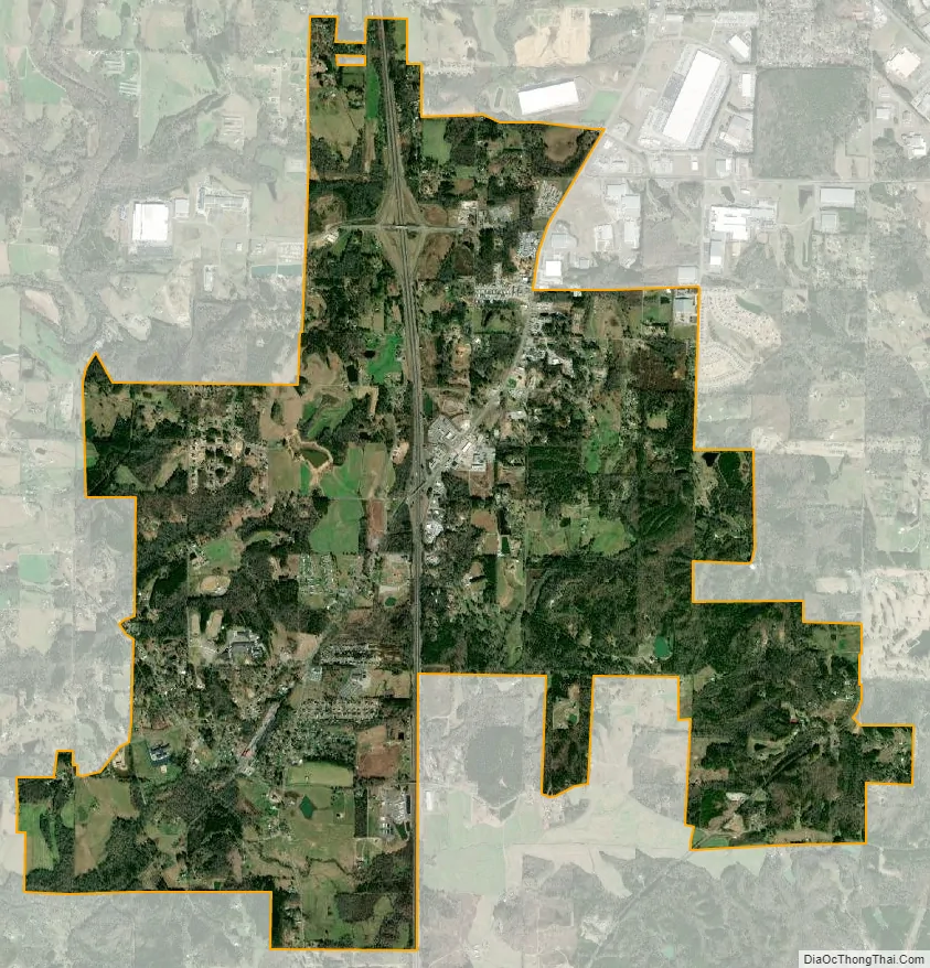
Good Hope city Satellite Map
Geography
Good Hope is located near the center of Cullman County at 34°6’32” North, 86°52’2″ West (34.108777, -86.867164). It is bordered by Cullman, the county seat, to the northeast. Interstate 65 passes through the city, with access from Exit 304. I-65 leads south 45 miles (72 km) to Birmingham and north 57 miles (92 km) (via Interstate 565) to Huntsville.
According to the U.S. Census Bureau, Good Hope has a total area of 8.0 square miles (20.7 km), of which 8.0 square miles (20.6 km) is land and 0.04 square miles (0.1 km), or 0.59%, is water.
See also
Map of Alabama State and its subdivision:- Autauga
- Baldwin
- Barbour
- Bibb
- Blount
- Bullock
- Butler
- Calhoun
- Chambers
- Cherokee
- Chilton
- Choctaw
- Clarke
- Clay
- Cleburne
- Coffee
- Colbert
- Conecuh
- Coosa
- Covington
- Crenshaw
- Cullman
- Dale
- Dallas
- De Kalb
- Elmore
- Escambia
- Etowah
- Fayette
- Franklin
- Geneva
- Greene
- Hale
- Henry
- Houston
- Jackson
- Jefferson
- Lamar
- Lauderdale
- Lawrence
- Lee
- Limestone
- Lowndes
- Macon
- Madison
- Marengo
- Marion
- Marshall
- Mobile
- Monroe
- Montgomery
- Morgan
- Perry
- Pickens
- Pike
- Randolph
- Russell
- Saint Clair
- Shelby
- Sumter
- Talladega
- Tallapoosa
- Tuscaloosa
- Walker
- Washington
- Wilcox
- Winston
- Alabama
- Alaska
- Arizona
- Arkansas
- California
- Colorado
- Connecticut
- Delaware
- District of Columbia
- Florida
- Georgia
- Hawaii
- Idaho
- Illinois
- Indiana
- Iowa
- Kansas
- Kentucky
- Louisiana
- Maine
- Maryland
- Massachusetts
- Michigan
- Minnesota
- Mississippi
- Missouri
- Montana
- Nebraska
- Nevada
- New Hampshire
- New Jersey
- New Mexico
- New York
- North Carolina
- North Dakota
- Ohio
- Oklahoma
- Oregon
- Pennsylvania
- Rhode Island
- South Carolina
- South Dakota
- Tennessee
- Texas
- Utah
- Vermont
- Virginia
- Washington
- West Virginia
- Wisconsin
- Wyoming