Graysville is a city in northwestern Jefferson County, Alabama, United States, located north of Adamsville. At the 2020 census, the population was 1,950.
| Name: | Graysville city |
|---|---|
| LSAD Code: | 25 |
| LSAD Description: | city (suffix) |
| State: | Alabama |
| County: | Jefferson County |
| Elevation: | 515 ft (157 m) |
| Total Area: | 16.07 sq mi (41.62 km²) |
| Land Area: | 16.05 sq mi (41.58 km²) |
| Water Area: | 0.01 sq mi (0.03 km²) |
| Total Population: | 1,950 |
| Population Density: | 121.47/sq mi (46.90/km²) |
| ZIP code: | 35073 |
| Area code: | 205 & 659 |
| FIPS code: | 0131384 |
| GNISfeature ID: | 2403734 |
| Website: | www.graysvillecity.com |
Online Interactive Map
Click on ![]() to view map in "full screen" mode.
to view map in "full screen" mode.
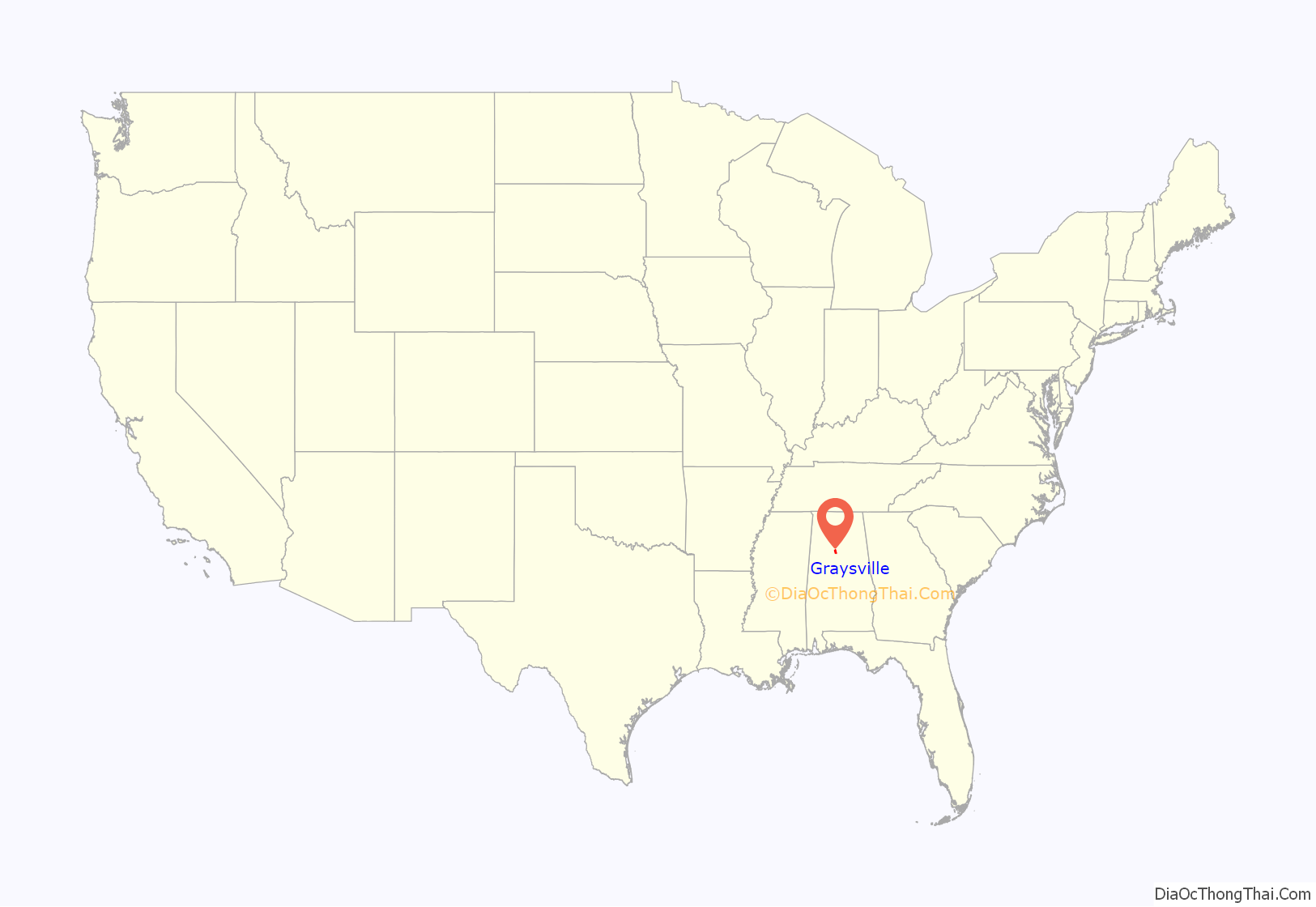
Graysville location map. Where is Graysville city?
History
In the late 1800s and early 1900s, this city was called Gin Town. Because it had the only cotton gin for miles around, the community grew. It incorporated as Graysville initially in 1897. As the town grew, the need for businesses and houses of worship grew as well. One street over from this site, the Union Church was established in the early 1900s. All people of all denominations met and worshiped there as it was the only church for miles around. In 1927, the town charter was revoked on the grounds of “inactivity.”
This city was reincorporated on November 17, 1945. The first meeting of the town council took place at the old school house on January 16, 1946. Later that year, the original city council established the Graysville Water Works system. In 1949, the city council established the Graysville Gas Board which eventually became the Graysville Municipal Gas System. During the 1950s and 1960s, the local coal mines and steel mills attracted families from all over Alabama. As a result of this growth, Graysville established the city’s first series of home developments and subdivisions. During the 1980s and 1990s, Graysville expanded its city limits by annexing multiple acres in what was then unincorporated in Jefferson County.
Its communities were damaged by an EF3 tornado on January 23, 2012.
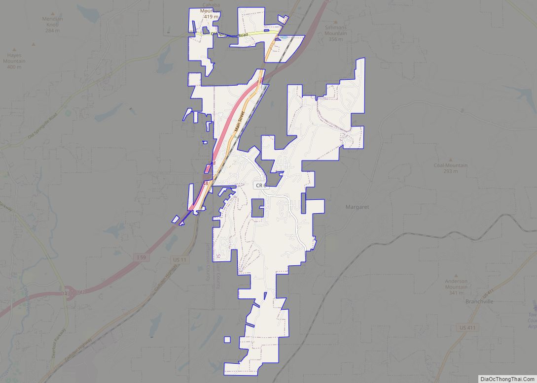
Graysville Road Map
Graysville city Satellite Map
Geography
Graysville is located at 33°37′37″N 86°57′44″W / 33.62694°N 86.96222°W / 33.62694; -86.96222 (33.626955, -86.962255). According to the U.S. Census Bureau, the city has a total area of 6.3 square miles (16 km), all land.
See also
Map of Alabama State and its subdivision:- Autauga
- Baldwin
- Barbour
- Bibb
- Blount
- Bullock
- Butler
- Calhoun
- Chambers
- Cherokee
- Chilton
- Choctaw
- Clarke
- Clay
- Cleburne
- Coffee
- Colbert
- Conecuh
- Coosa
- Covington
- Crenshaw
- Cullman
- Dale
- Dallas
- De Kalb
- Elmore
- Escambia
- Etowah
- Fayette
- Franklin
- Geneva
- Greene
- Hale
- Henry
- Houston
- Jackson
- Jefferson
- Lamar
- Lauderdale
- Lawrence
- Lee
- Limestone
- Lowndes
- Macon
- Madison
- Marengo
- Marion
- Marshall
- Mobile
- Monroe
- Montgomery
- Morgan
- Perry
- Pickens
- Pike
- Randolph
- Russell
- Saint Clair
- Shelby
- Sumter
- Talladega
- Tallapoosa
- Tuscaloosa
- Walker
- Washington
- Wilcox
- Winston
- Alabama
- Alaska
- Arizona
- Arkansas
- California
- Colorado
- Connecticut
- Delaware
- District of Columbia
- Florida
- Georgia
- Hawaii
- Idaho
- Illinois
- Indiana
- Iowa
- Kansas
- Kentucky
- Louisiana
- Maine
- Maryland
- Massachusetts
- Michigan
- Minnesota
- Mississippi
- Missouri
- Montana
- Nebraska
- Nevada
- New Hampshire
- New Jersey
- New Mexico
- New York
- North Carolina
- North Dakota
- Ohio
- Oklahoma
- Oregon
- Pennsylvania
- Rhode Island
- South Carolina
- South Dakota
- Tennessee
- Texas
- Utah
- Vermont
- Virginia
- Washington
- West Virginia
- Wisconsin
- Wyoming
