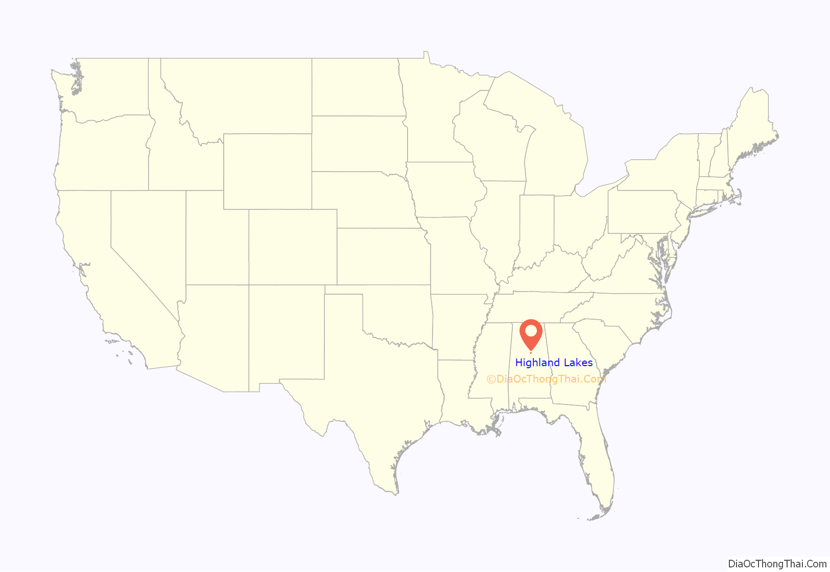
Highland Lakes is a census-designated place in Shelby County, Alabama, United States. Its population was 3,926 as of the 2010 census.
| Name: | Highland Lakes CDP |
|---|---|
| LSAD Code: | 57 |
| LSAD Description: | CDP (suffix) |
| State: | Alabama |
| County: | Shelby County |
| Elevation: | 810 ft (250 m) |
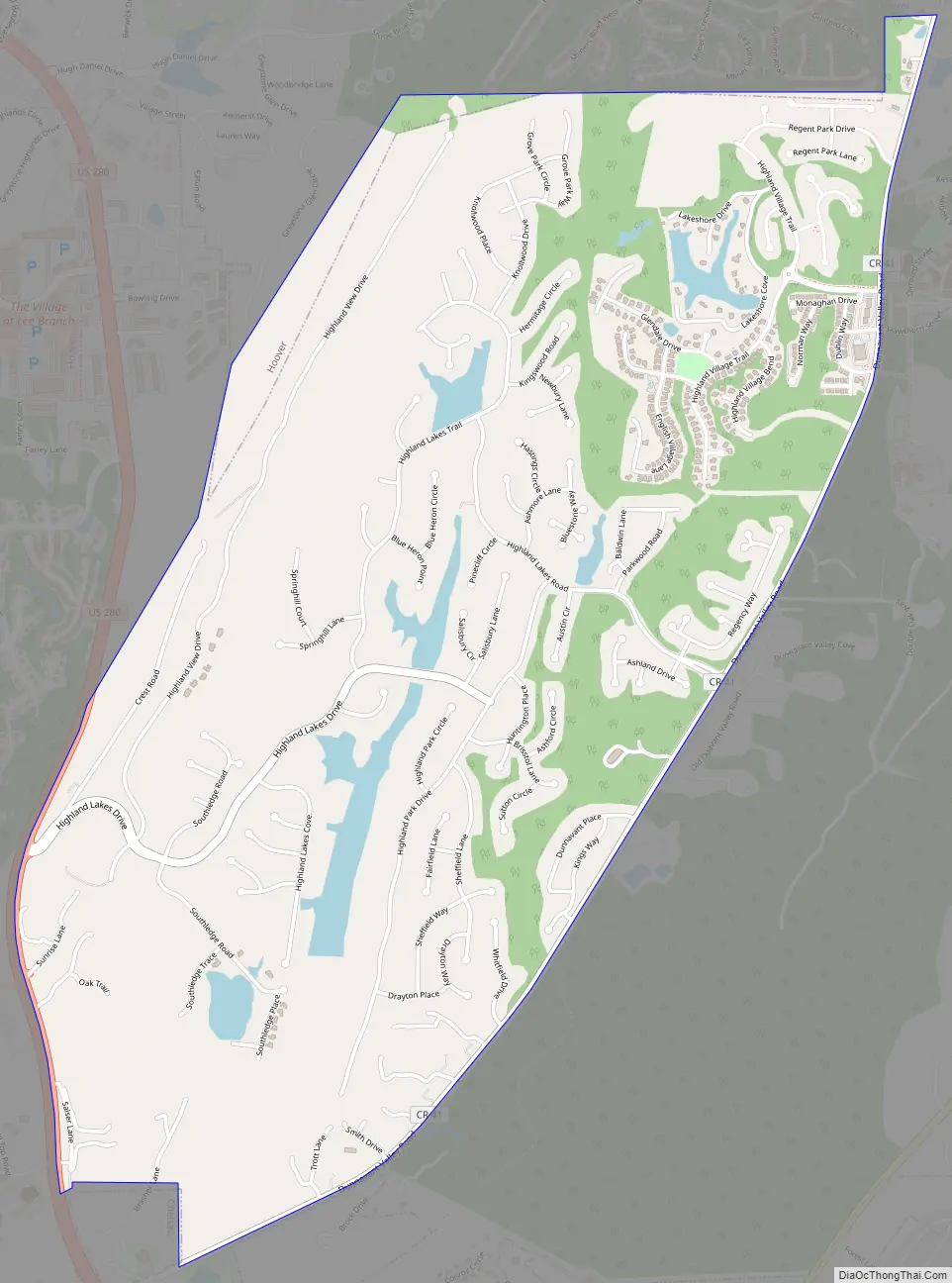
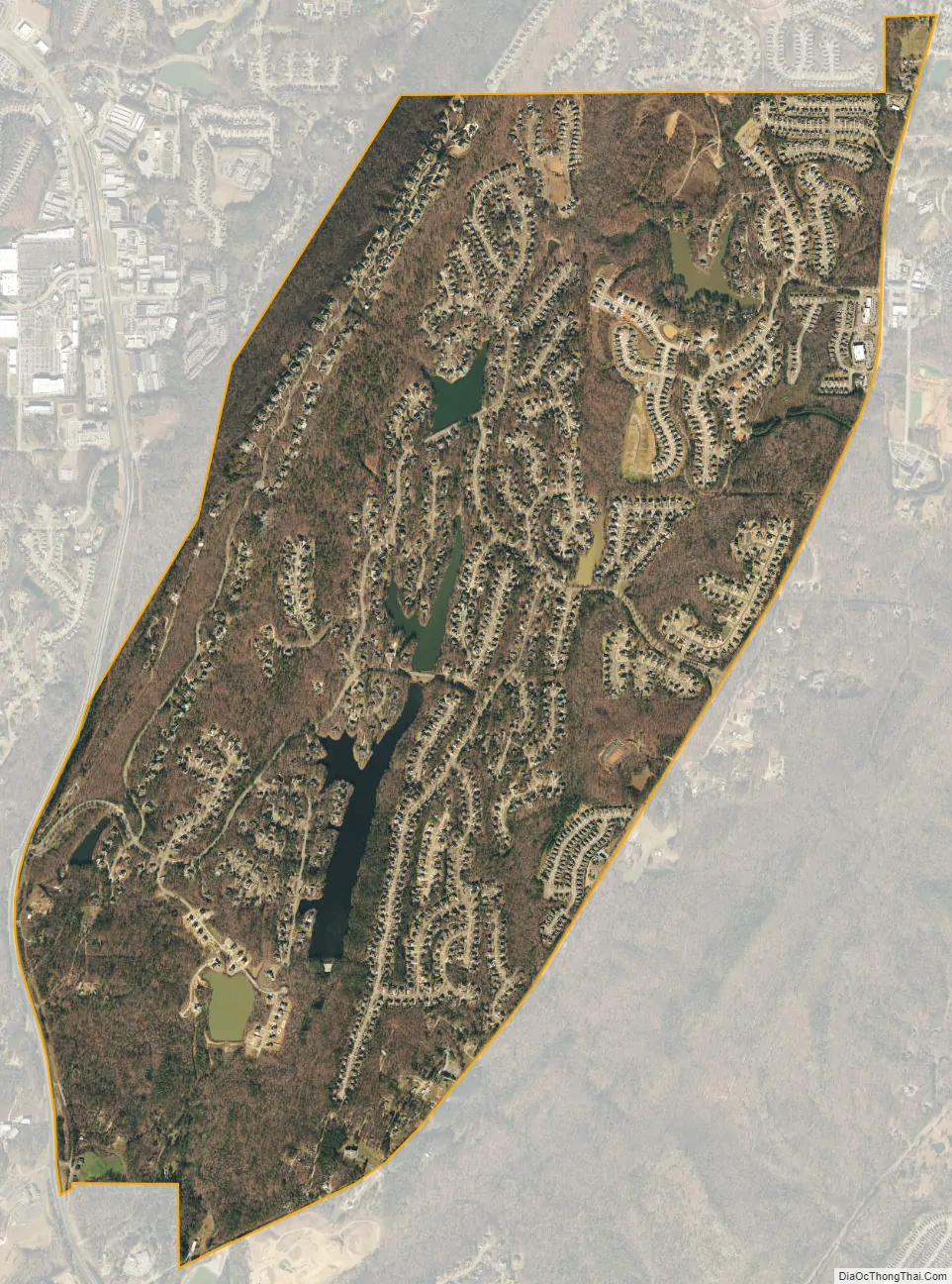
| Total Area: | 3.96 sq mi (10.25 km²) |
| Land Area: | 3.82 sq mi (9.88 km²) |
| Water Area: | 0.14 sq mi (0.36 km²) |
| Total Population: | 5,239 |
| Population Density: | 1,372.90/sq mi (530.10/km²) |
| ZIP code: | 35242 |
| Area code: | 205, 659 |
| FIPS code: | 0134490 |
| GNISfeature ID: | 2582679 |
Online Interactive Map
Click on ![]() to view map in "full screen" mode.
to view map in "full screen" mode.
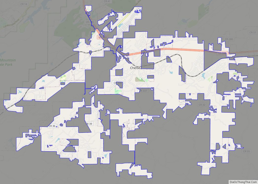
Highland Lakes location map. Where is Highland Lakes CDP?
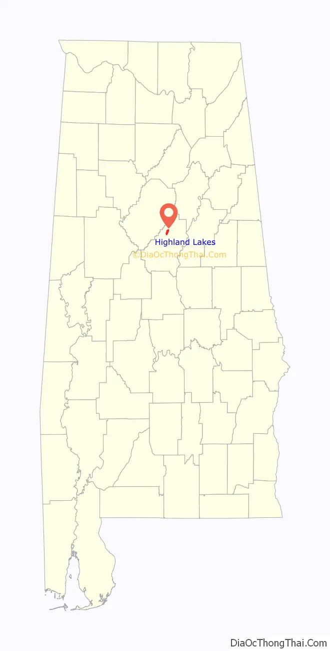
Highland Lakes Road Map
Highland Lakes city Satellite Map
Geography
Highland Lakes is located within the Highland Lakes subdivision off U.S. Route 280 atop Double Oak Mountain, a southern extension of the Appalachian Mountains. Via U.S. 280, downtown Birmingham is 16 mi (26 km) northwest, and Chelsea is 6 mi (10 km) southeast.
See also
Map of Alabama State and its subdivision:- Autauga
- Baldwin
- Barbour
- Bibb
- Blount
- Bullock
- Butler
- Calhoun
- Chambers
- Cherokee
- Chilton
- Choctaw
- Clarke
- Clay
- Cleburne
- Coffee
- Colbert
- Conecuh
- Coosa
- Covington
- Crenshaw
- Cullman
- Dale
- Dallas
- De Kalb
- Elmore
- Escambia
- Etowah
- Fayette
- Franklin
- Geneva
- Greene
- Hale
- Henry
- Houston
- Jackson
- Jefferson
- Lamar
- Lauderdale
- Lawrence
- Lee
- Limestone
- Lowndes
- Macon
- Madison
- Marengo
- Marion
- Marshall
- Mobile
- Monroe
- Montgomery
- Morgan
- Perry
- Pickens
- Pike
- Randolph
- Russell
- Saint Clair
- Shelby
- Sumter
- Talladega
- Tallapoosa
- Tuscaloosa
- Walker
- Washington
- Wilcox
- Winston
- Alabama
- Alaska
- Arizona
- Arkansas
- California
- Colorado
- Connecticut
- Delaware
- District of Columbia
- Florida
- Georgia
- Hawaii
- Idaho
- Illinois
- Indiana
- Iowa
- Kansas
- Kentucky
- Louisiana
- Maine
- Maryland
- Massachusetts
- Michigan
- Minnesota
- Mississippi
- Missouri
- Montana
- Nebraska
- Nevada
- New Hampshire
- New Jersey
- New Mexico
- New York
- North Carolina
- North Dakota
- Ohio
- Oklahoma
- Oregon
- Pennsylvania
- Rhode Island
- South Carolina
- South Dakota
- Tennessee
- Texas
- Utah
- Vermont
- Virginia
- Washington
- West Virginia
- Wisconsin
- Wyoming