Kimberly is a city in Jefferson County, Alabama, United States. At the 2020 census, the population was 3,841.
| Name: | Kimberly city |
|---|---|
| LSAD Code: | 25 |
| LSAD Description: | city (suffix) |
| State: | Alabama |
| County: | Jefferson County |
| Elevation: | 472 ft (144 m) |
| Total Area: | 5.86 sq mi (15.18 km²) |
| Land Area: | 5.86 sq mi (15.18 km²) |
| Water Area: | 0.00 sq mi (0.00 km²) |
| Total Population: | 3,841 |
| Population Density: | 655.24/sq mi (253.00/km²) |
| ZIP code: | 35091 |
| Area code: | 205 & 659 |
| FIPS code: | 0139856 |
| GNISfeature ID: | 2405948 |
| Website: | kimberlyal.org |
Online Interactive Map
Click on ![]() to view map in "full screen" mode.
to view map in "full screen" mode.
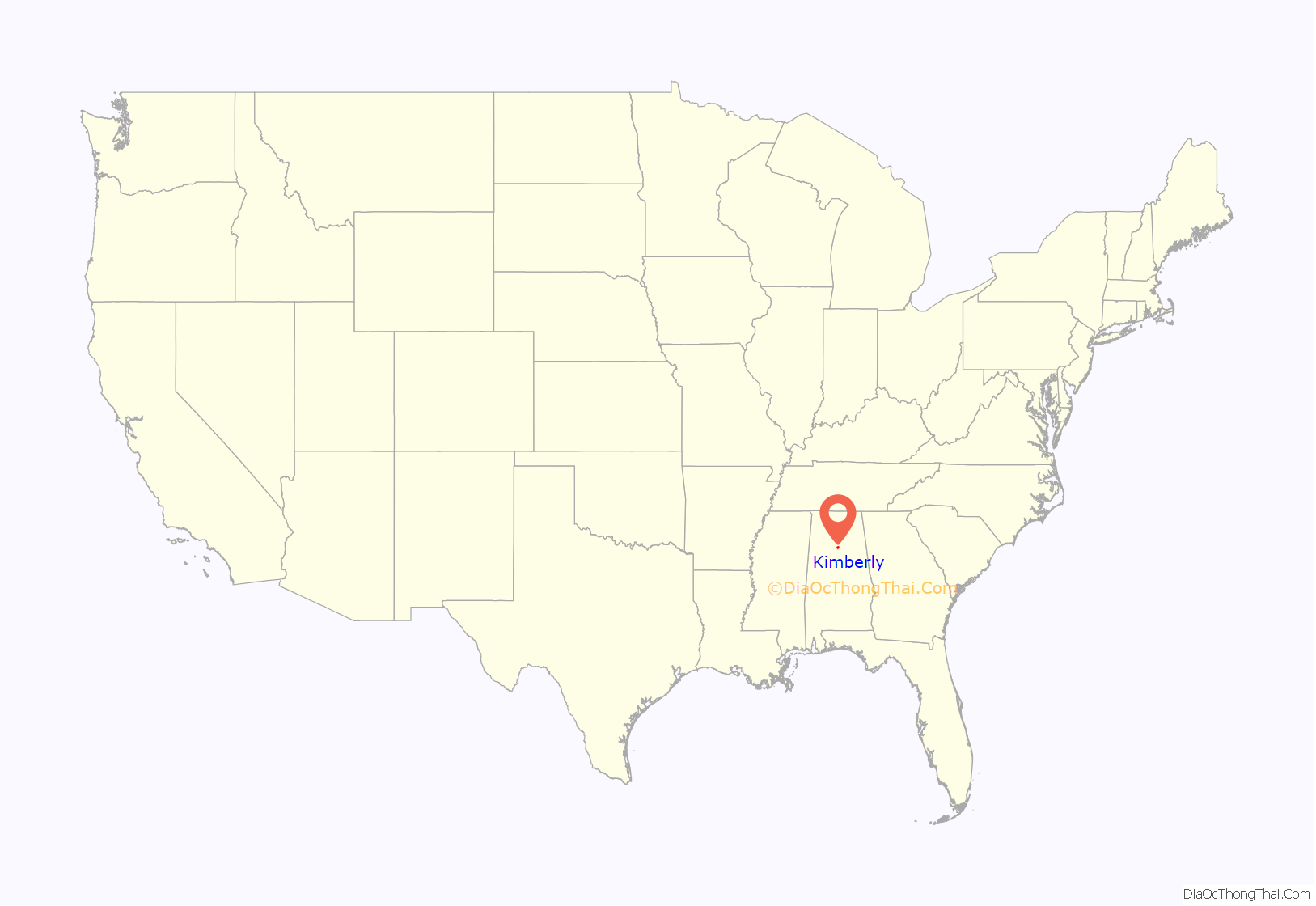
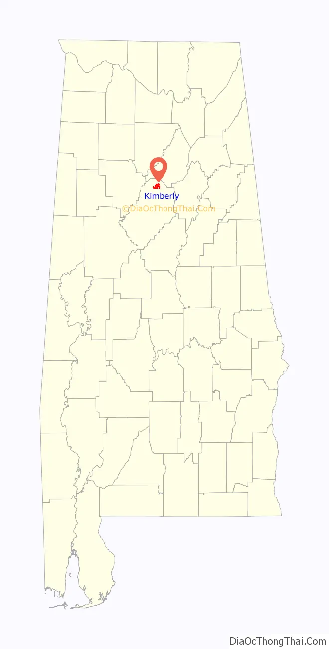
Kimberly location map. Where is Kimberly city?
History
The city of Kimberly developed around a stagecoach station built in the 1830s; it remained in service until 1865. At this time, the settlement was known as Kennelsville. The city then became known as Jefferson, probably after the nearby Old Jefferson coal mine, until the late 1880s. In 1888, the town’s post office was relocated to nearby Morris. In 1905, the town voted to change its name to Kimberly because another Alabama town had already claimed the name Jefferson. The town had a population of around 900 by 1910. Local coal mines were primary employers in Kimberly and were active through the 1940s, gradually closing down during the 1950s. Another significant employer in Kimberly was the Dixie Firebrick Company, founded in the 1930s; it was later bought out by A.P. Green Refractories Company. This facility shut down sometime in the mid-1970s. The city officially incorporated in 1952. Many city records and history were lost in a fire at the city hall in 1989. Beginning June 29, 2011, due to the population increasing from 1,801 persons in 2000 to 2,711 in 2010, the town began operating as a city, per Alabama law.
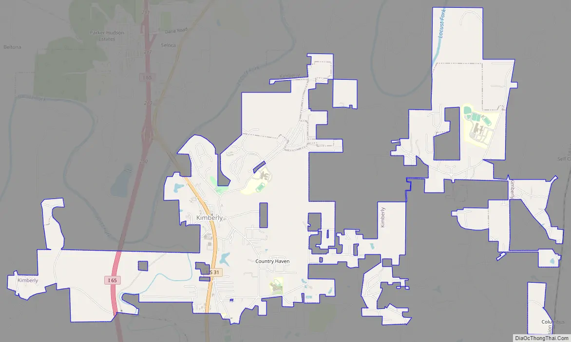
Kimberly Road Map
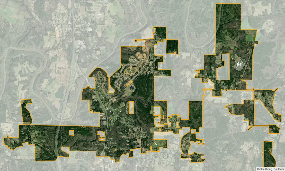
Kimberly city Satellite Map
Geography
Kimberly is located at 33°46′16″N 86°47′43″W / 33.77111°N 86.79528°W / 33.77111; -86.79528 (33.771163, -86.795280). According to the U.S. Census Bureau, the city has a total area of 4.0 square miles (10 km), all land.
See also
Map of Alabama State and its subdivision:- Autauga
- Baldwin
- Barbour
- Bibb
- Blount
- Bullock
- Butler
- Calhoun
- Chambers
- Cherokee
- Chilton
- Choctaw
- Clarke
- Clay
- Cleburne
- Coffee
- Colbert
- Conecuh
- Coosa
- Covington
- Crenshaw
- Cullman
- Dale
- Dallas
- De Kalb
- Elmore
- Escambia
- Etowah
- Fayette
- Franklin
- Geneva
- Greene
- Hale
- Henry
- Houston
- Jackson
- Jefferson
- Lamar
- Lauderdale
- Lawrence
- Lee
- Limestone
- Lowndes
- Macon
- Madison
- Marengo
- Marion
- Marshall
- Mobile
- Monroe
- Montgomery
- Morgan
- Perry
- Pickens
- Pike
- Randolph
- Russell
- Saint Clair
- Shelby
- Sumter
- Talladega
- Tallapoosa
- Tuscaloosa
- Walker
- Washington
- Wilcox
- Winston
- Alabama
- Alaska
- Arizona
- Arkansas
- California
- Colorado
- Connecticut
- Delaware
- District of Columbia
- Florida
- Georgia
- Hawaii
- Idaho
- Illinois
- Indiana
- Iowa
- Kansas
- Kentucky
- Louisiana
- Maine
- Maryland
- Massachusetts
- Michigan
- Minnesota
- Mississippi
- Missouri
- Montana
- Nebraska
- Nevada
- New Hampshire
- New Jersey
- New Mexico
- New York
- North Carolina
- North Dakota
- Ohio
- Oklahoma
- Oregon
- Pennsylvania
- Rhode Island
- South Carolina
- South Dakota
- Tennessee
- Texas
- Utah
- Vermont
- Virginia
- Washington
- West Virginia
- Wisconsin
- Wyoming


