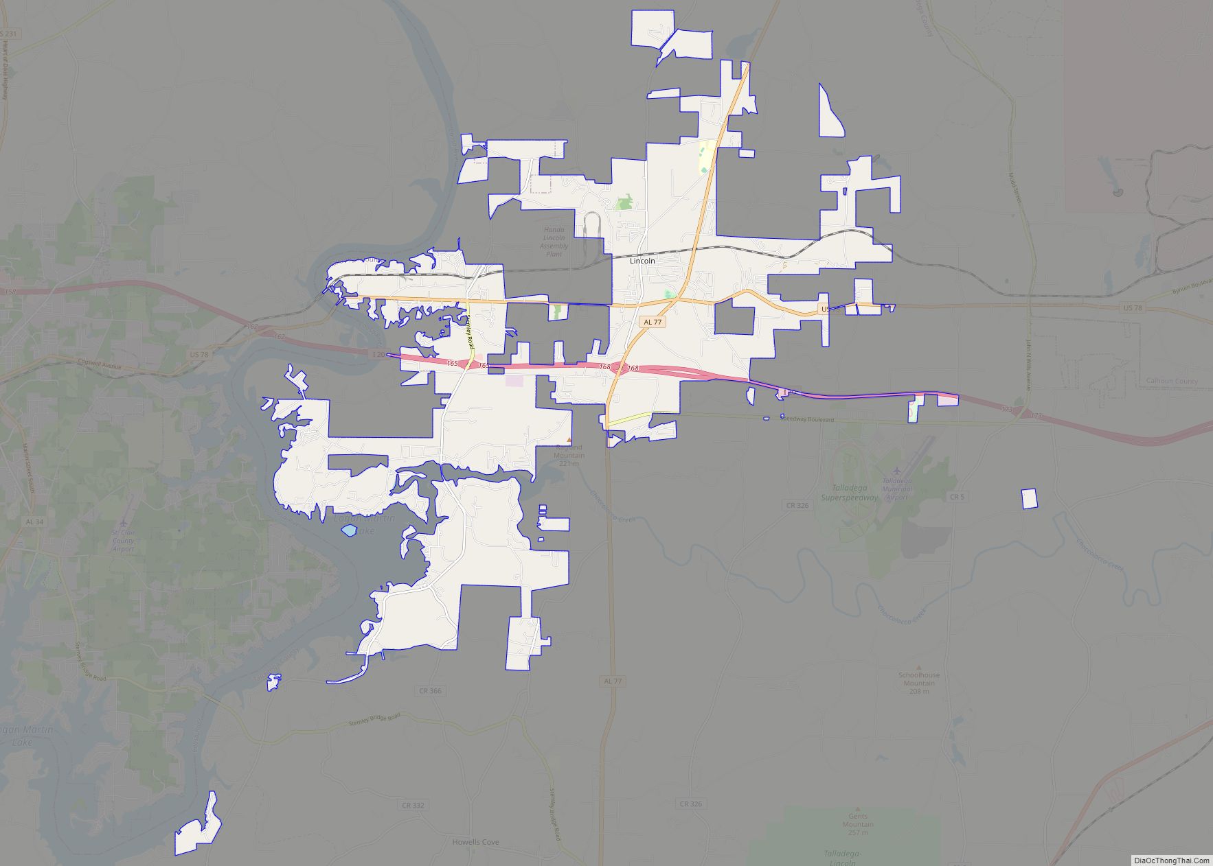
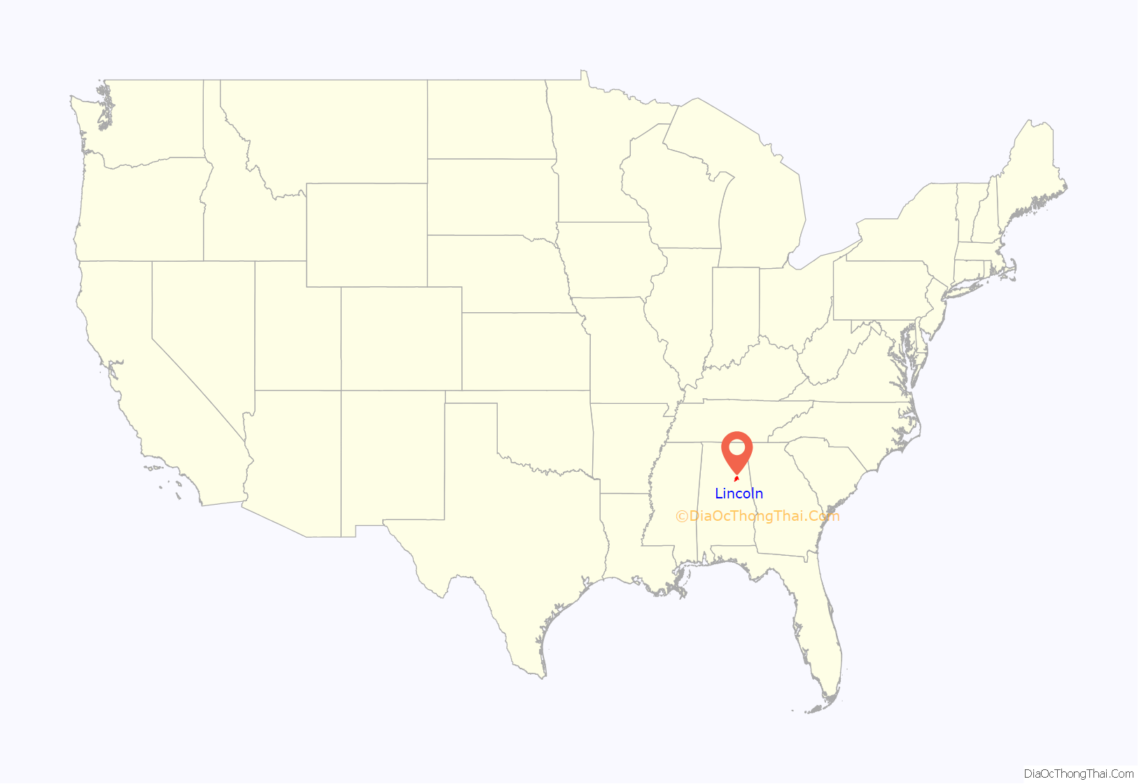
Lincoln is a city in Talladega County, Alabama, United States. It was incorporated in 1911. At the 2020 census, the population was 6,845. It was named for Major General Benjamin Lincoln, who served in the American army during the Revolutionary War.
The Talladega Superspeedway, the International Motorsports Hall of Fame and the Talladega Municipal Airport are all located in Lincoln.
| Name: | Lincoln city |
|---|---|
| LSAD Code: | 25 |
| LSAD Description: | city (suffix) |
| State: | Alabama |
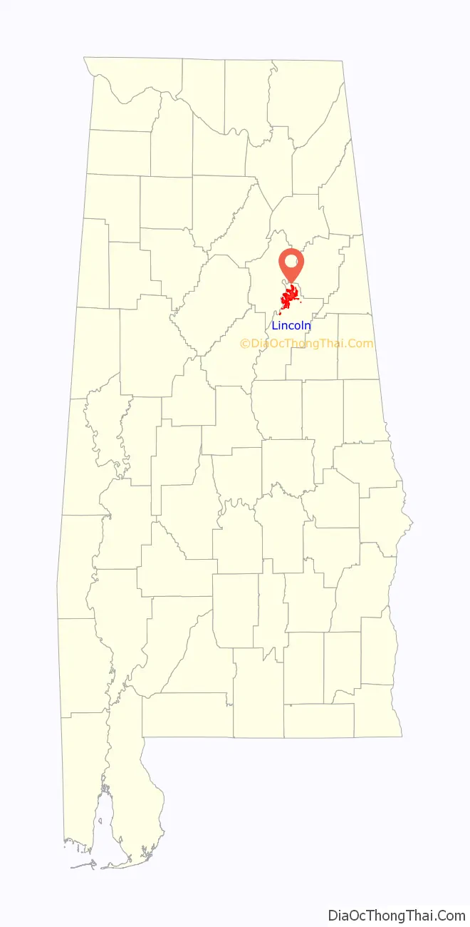
| County: | Talladega County |
| Elevation: | 502 ft (153 m) |
| Total Area: | 25.87 sq mi (67.00 km²) |
| Land Area: | 25.67 sq mi (66.49 km²) |
| Water Area: | 0.20 sq mi (0.52 km²) |
| Total Population: | 6,845 |
| Population Density: | 266.65/sq mi (102.96/km²) |
| ZIP code: | 35096 |
| Area code: | 205, 659 256 |
| FIPS code: | 0143120 |
| GNISfeature ID: | 0112832 |
| Website: | http://www.lincolnalabama.com/ |
Online Interactive Map
Click on ![]() to view map in "full screen" mode.
to view map in "full screen" mode.
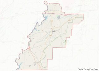
Lincoln location map. Where is Lincoln city?
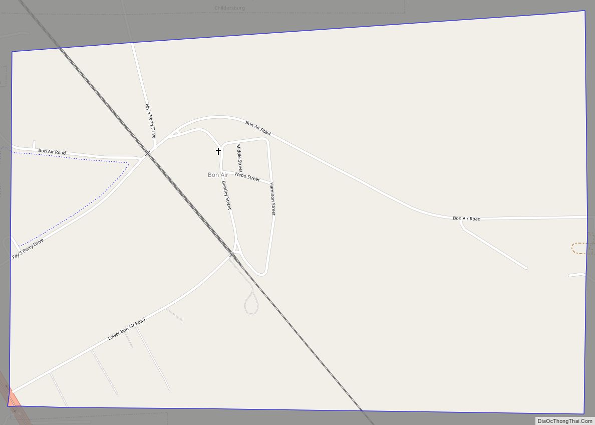
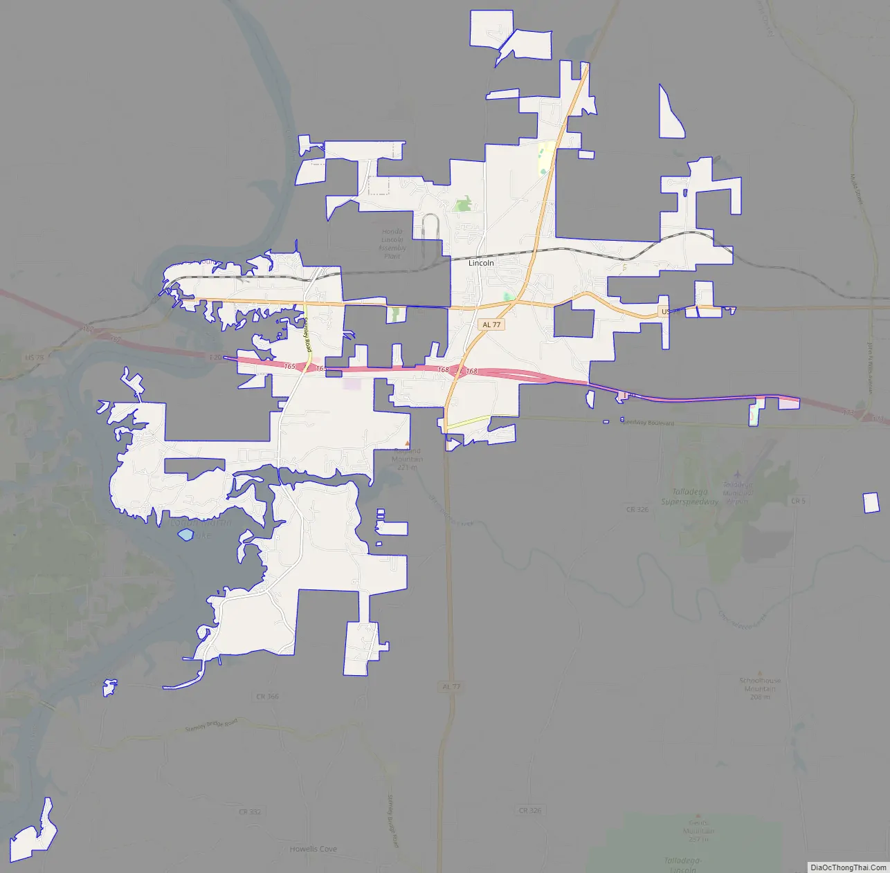
Lincoln Road Map
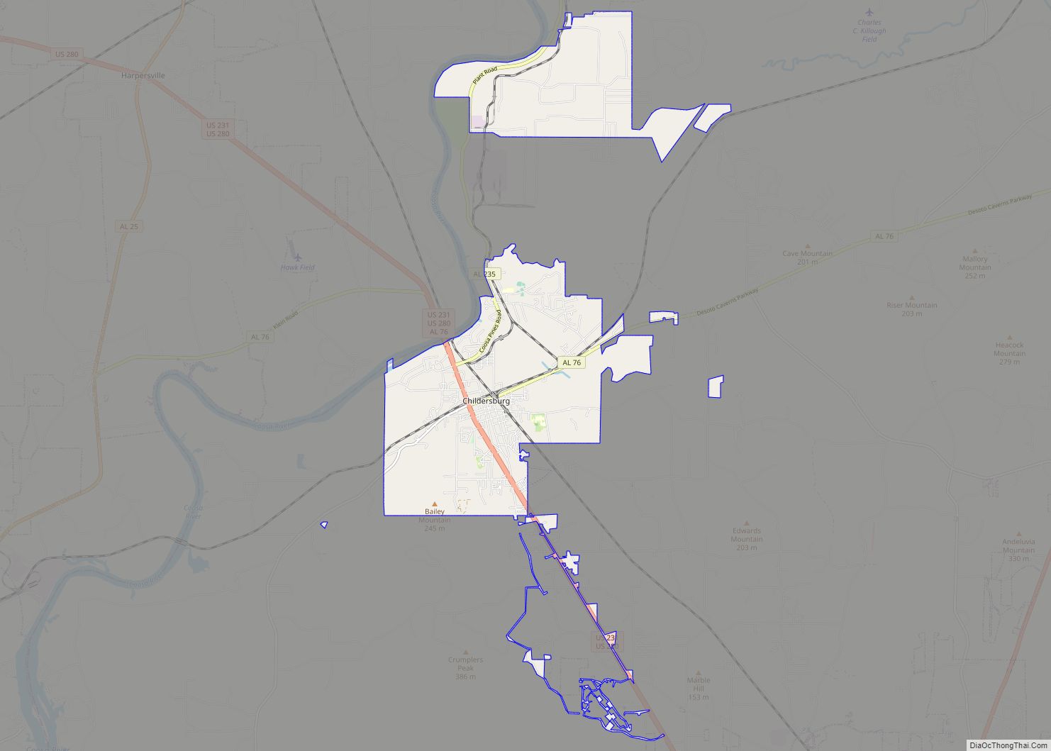
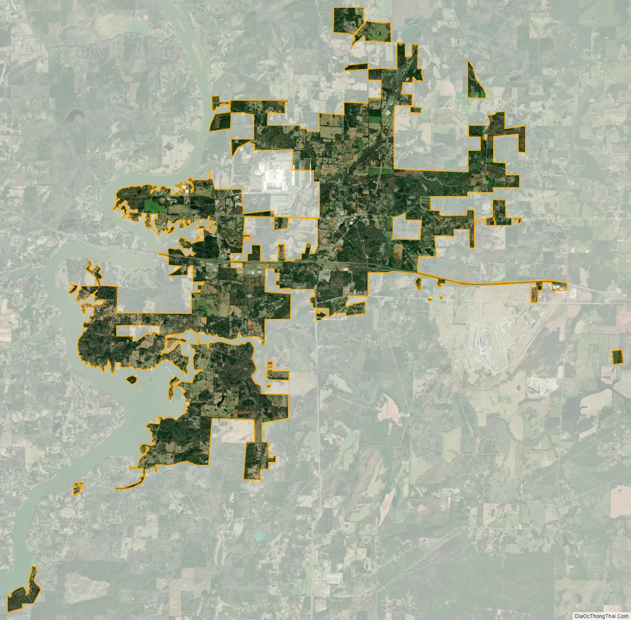
Lincoln city Satellite Map
Geography
Lincoln is located at 33°35′35″N 86°8′20″W / 33.59306°N 86.13889°W / 33.59306; -86.13889 (33.593156, -86.138879). It is home to Honda Manufacturing of Alabama, employing over 4,000 people. Talladega Superspeedway race track is located near the city. It is located off of exit 173 along I-20, which is just outside the city limits.
According to the U.S. Census Bureau, the city has a total area of 21.5 square miles (56 km), of which 21.3 square miles (55 km) is land and 0.1 square miles (0.26 km) (0.61%) is water.
The city is located along Interstate 20, which runs west to east through the southern part of the city. Access to the city can be found from exits 165 and 168. Via I-20, Birmingham is 44 mi (71 km) west, and Atlanta is 106 mi (171 km) east. U.S. Route 78 also runs west to east through the city. Alabama State Route 77 connects the city with Talladega, which is 13 mi (21 km) south.
See also
Map of Alabama State and its subdivision:- Autauga
- Baldwin
- Barbour
- Bibb
- Blount
- Bullock
- Butler
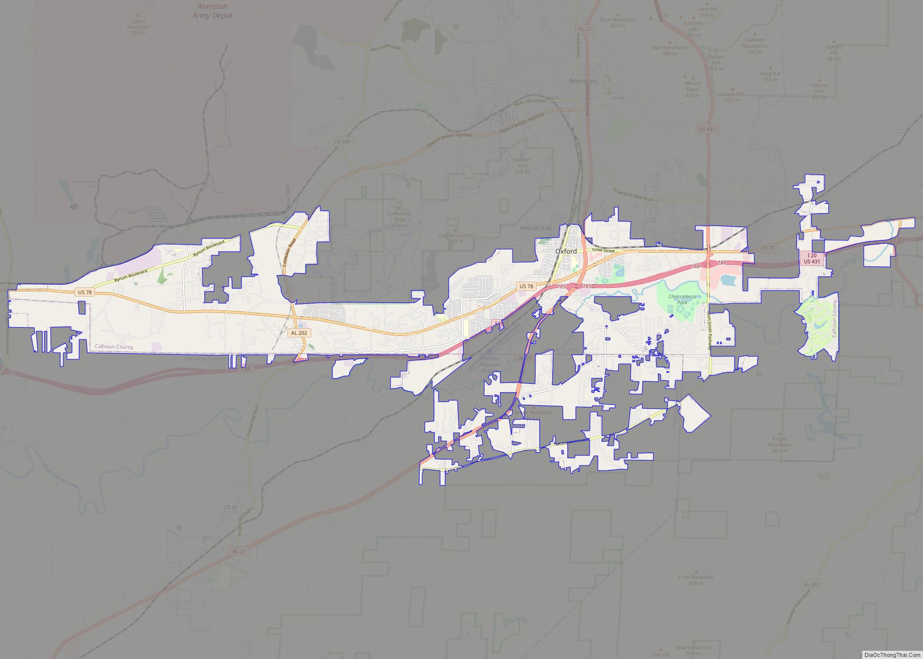
- Calhoun
- Chambers
- Cherokee
- Chilton
- Choctaw
- Clarke
- Clay
- Cleburne
- Coffee
- Colbert
- Conecuh
- Coosa
- Covington
- Crenshaw
- Cullman
- Dale
- Dallas
- De Kalb
- Elmore
- Escambia
- Etowah
- Fayette
- Franklin
- Geneva
- Greene
- Hale
- Henry
- Houston
- Jackson
- Jefferson
- Lamar
- Lauderdale
- Lawrence
- Lee
- Limestone
- Lowndes
- Macon
- Madison
- Marengo
- Marion
- Marshall
- Mobile
- Monroe
- Montgomery
- Morgan
- Perry
- Pickens
- Pike
- Randolph
- Russell
- Saint Clair
- Shelby
- Sumter
- Talladega
- Tallapoosa
- Tuscaloosa
- Walker
- Washington
- Wilcox
- Winston
- Alabama
- Alaska
- Arizona
- Arkansas
- California
- Colorado
- Connecticut
- Delaware
- District of Columbia
- Florida
- Georgia
- Hawaii
- Idaho
- Illinois
- Indiana
- Iowa
- Kansas
- Kentucky
- Louisiana
- Maine
- Maryland
- Massachusetts
- Michigan
- Minnesota
- Mississippi
- Missouri
- Montana
- Nebraska
- Nevada
- New Hampshire
- New Jersey
- New Mexico
- New York
- North Carolina
- North Dakota
- Ohio
- Oklahoma
- Oregon
- Pennsylvania
- Rhode Island
- South Carolina
- South Dakota
- Tennessee
- Texas
- Utah
- Vermont
- Virginia
- Washington
- West Virginia
- Wisconsin
- Wyoming