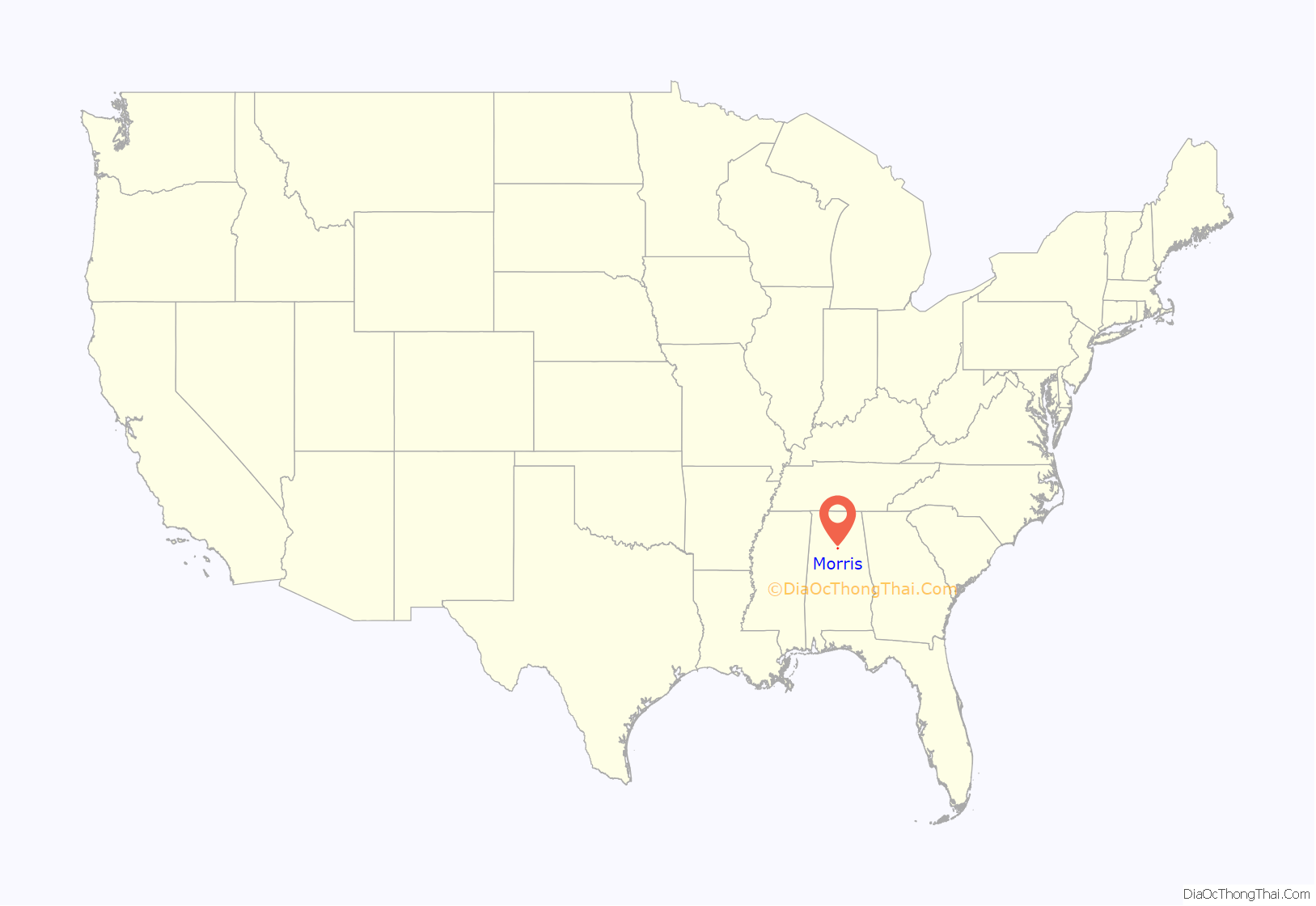
Morris is a town in Jefferson County, Alabama, United States. It is north of the Birmingham suburb of Gardendale. It initially incorporated on September 19, 1885. At some point after 1910, its incorporation lapsed and it failed to appear on the census rolls beginning in 1920 through to 1950. It reincorporated on July 11, 1950. The population as of the 2010 U.S. Census was 1,859, up from 1,827 in 2000.
| Name: | Morris town |
|---|---|
| LSAD Code: | 43 |
| LSAD Description: | town (suffix) |
| State: | Alabama |
| County: | Jefferson County |
| Elevation: | 417 ft (127 m) |
| Total Area: | 3.19 sq mi (8.26 km²) |
| Land Area: | 3.18 sq mi (8.23 km²) |
| Water Area: | 0.01 sq mi (0.03 km²) |
| Total Population: | 2,259 |
| Population Density: | 710.60/sq mi (274.38/km²) |
| ZIP code: | 35116 |
| Area code: | 205 & 659 |
| FIPS code: | 0151456 |
| GNISfeature ID: | 0123071 |
| Website: | morrisal.us |
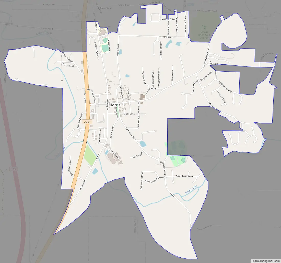
Online Interactive Map
Click on ![]() to view map in "full screen" mode.
to view map in "full screen" mode.
Morris location map. Where is Morris town?
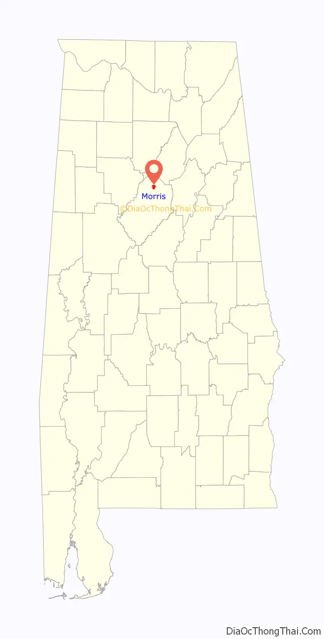
Morris Road Map
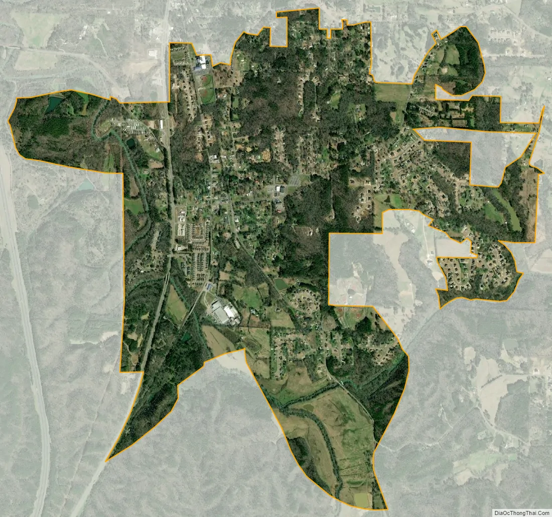
Morris city Satellite Map
Geography
Morris is located at 33°44′51″N 86°48′25″W / 33.74750°N 86.80694°W / 33.74750; -86.80694 (33.747374, -86.807023).
According to the U.S. Census Bureau, the town has a total area of 3.1 square miles (8.0 km), of which 3.0 square miles (7.8 km) is land and 0.33% is water.
The town is named after Mary Hunter “Mae” Morris, an early female pioneer of the region.
See also
Map of Alabama State and its subdivision:- Autauga
- Baldwin
- Barbour
- Bibb
- Blount
- Bullock
- Butler
- Calhoun
- Chambers
- Cherokee
- Chilton
- Choctaw
- Clarke
- Clay
- Cleburne
- Coffee
- Colbert
- Conecuh
- Coosa
- Covington
- Crenshaw
- Cullman
- Dale
- Dallas
- De Kalb
- Elmore
- Escambia
- Etowah
- Fayette
- Franklin
- Geneva
- Greene
- Hale
- Henry
- Houston
- Jackson
- Jefferson
- Lamar
- Lauderdale
- Lawrence
- Lee
- Limestone
- Lowndes
- Macon
- Madison
- Marengo
- Marion
- Marshall
- Mobile
- Monroe
- Montgomery
- Morgan
- Perry
- Pickens
- Pike
- Randolph
- Russell
- Saint Clair
- Shelby
- Sumter
- Talladega
- Tallapoosa
- Tuscaloosa
- Walker
- Washington
- Wilcox
- Winston
- Alabama
- Alaska
- Arizona
- Arkansas
- California
- Colorado
- Connecticut
- Delaware
- District of Columbia
- Florida
- Georgia
- Hawaii
- Idaho
- Illinois
- Indiana
- Iowa
- Kansas
- Kentucky
- Louisiana
- Maine
- Maryland
- Massachusetts
- Michigan
- Minnesota
- Mississippi
- Missouri
- Montana
- Nebraska
- Nevada
- New Hampshire
- New Jersey
- New Mexico
- New York
- North Carolina
- North Dakota
- Ohio
- Oklahoma
- Oregon
- Pennsylvania
- Rhode Island
- South Carolina
- South Dakota
- Tennessee
- Texas
- Utah
- Vermont
- Virginia
- Washington
- West Virginia
- Wisconsin
- Wyoming


