North Johns is the second smallest incorporated town in Jefferson County, Alabama (after Cardiff), United States. It is located approximately eight miles southwest from the Birmingham suburb of Hueytown. North Johns was a thriving mining town at the beginning of the 20th century, when more than 2000 people lived in and around the community. It is named after a Welsh-born mining engineer, Llewellyn Johns, who opened coal mining operations throughout the area in the 1880s. At the 2010 census the population was 145, an increase of three persons from 2000.
| Name: | North Johns town |
|---|---|
| LSAD Code: | 43 |
| LSAD Description: | town (suffix) |
| State: | Alabama |
| County: | Jefferson County |
| Elevation: | 502 ft (153 m) |
| Total Area: | 0.17 sq mi (0.43 km²) |
| Land Area: | 0.17 sq mi (0.43 km²) |
| Water Area: | 0.00 sq mi (0.00 km²) |
| Total Population: | 127 |
| Population Density: | 769.70/sq mi (297.34/km²) |
| ZIP code: | 35006 |
| Area code: | 205 & 659 |
| FIPS code: | 0155152 |
| GNISfeature ID: | 0124007 |
Online Interactive Map
Click on ![]() to view map in "full screen" mode.
to view map in "full screen" mode.
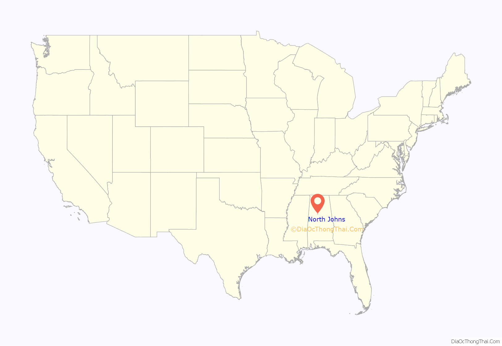
North Johns location map. Where is North Johns town?
History
North Johns was incorporated in July 1912, although not until 1930 did it first appear on the Census records. It was listed as Johns in that census and North Johns from 1940 to date. Its peak recorded population was in 1950 when it had 454 residents.
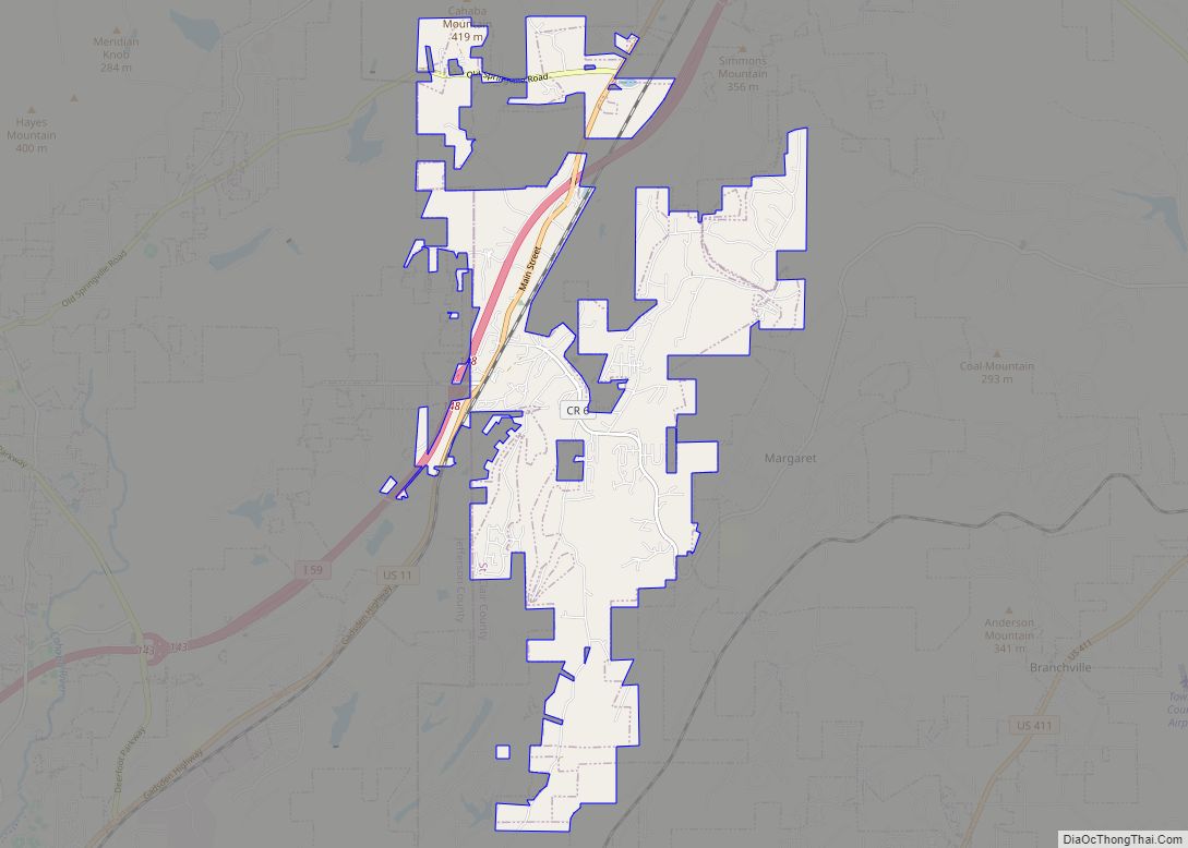
North Johns Road Map
North Johns city Satellite Map
Geography
It is located at 33°22′1″N 87°6′5″W / 33.36694°N 87.10139°W / 33.36694; -87.10139 (33.366880, -87.101486).
According to the U.S. Census Bureau, the town has a total area of 0.2 square miles (0.52 km), all land.
See also
Map of Alabama State and its subdivision:- Autauga
- Baldwin
- Barbour
- Bibb
- Blount
- Bullock
- Butler
- Calhoun
- Chambers
- Cherokee
- Chilton
- Choctaw
- Clarke
- Clay
- Cleburne
- Coffee
- Colbert
- Conecuh
- Coosa
- Covington
- Crenshaw
- Cullman
- Dale
- Dallas
- De Kalb
- Elmore
- Escambia
- Etowah
- Fayette
- Franklin
- Geneva
- Greene
- Hale
- Henry
- Houston
- Jackson
- Jefferson
- Lamar
- Lauderdale
- Lawrence
- Lee
- Limestone
- Lowndes
- Macon
- Madison
- Marengo
- Marion
- Marshall
- Mobile
- Monroe
- Montgomery
- Morgan
- Perry
- Pickens
- Pike
- Randolph
- Russell
- Saint Clair
- Shelby
- Sumter
- Talladega
- Tallapoosa
- Tuscaloosa
- Walker
- Washington
- Wilcox
- Winston
- Alabama
- Alaska
- Arizona
- Arkansas
- California
- Colorado
- Connecticut
- Delaware
- District of Columbia
- Florida
- Georgia
- Hawaii
- Idaho
- Illinois
- Indiana
- Iowa
- Kansas
- Kentucky
- Louisiana
- Maine
- Maryland
- Massachusetts
- Michigan
- Minnesota
- Mississippi
- Missouri
- Montana
- Nebraska
- Nevada
- New Hampshire
- New Jersey
- New Mexico
- New York
- North Carolina
- North Dakota
- Ohio
- Oklahoma
- Oregon
- Pennsylvania
- Rhode Island
- South Carolina
- South Dakota
- Tennessee
- Texas
- Utah
- Vermont
- Virginia
- Washington
- West Virginia
- Wisconsin
- Wyoming
