Oak Grove is a town in Talladega County, Alabama, United States. It incorporated in 1966. At the 2020 census, the population was 564.
| Name: | Oak Grove town |
|---|---|
| LSAD Code: | 43 |
| LSAD Description: | town (suffix) |
| State: | Alabama |
| County: | Talladega County |
| Elevation: | 558 ft (170 m) |
| Total Area: | 1.85 sq mi (4.78 km²) |
| Land Area: | 1.84 sq mi (4.78 km²) |
| Water Area: | 0.00 sq mi (0.01 km²) |
| Total Population: | 564 |
| Population Density: | 305.69/sq mi (118.04/km²) |
| ZIP code: | 35150-35151 |
| Area code: | 256 |
| FIPS code: | 0155752 |
| GNISfeature ID: | 0124059 |
| Website: | www.townofoakgrove.org |
Online Interactive Map
Click on ![]() to view map in "full screen" mode.
to view map in "full screen" mode.
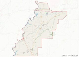
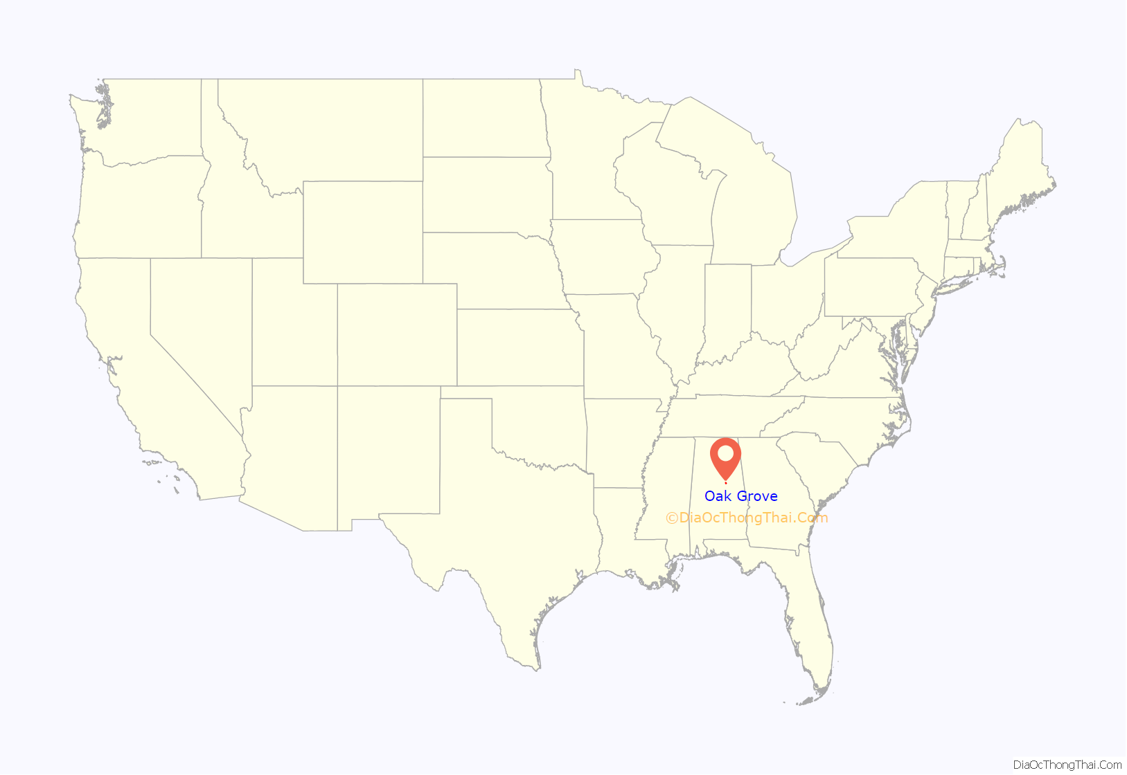
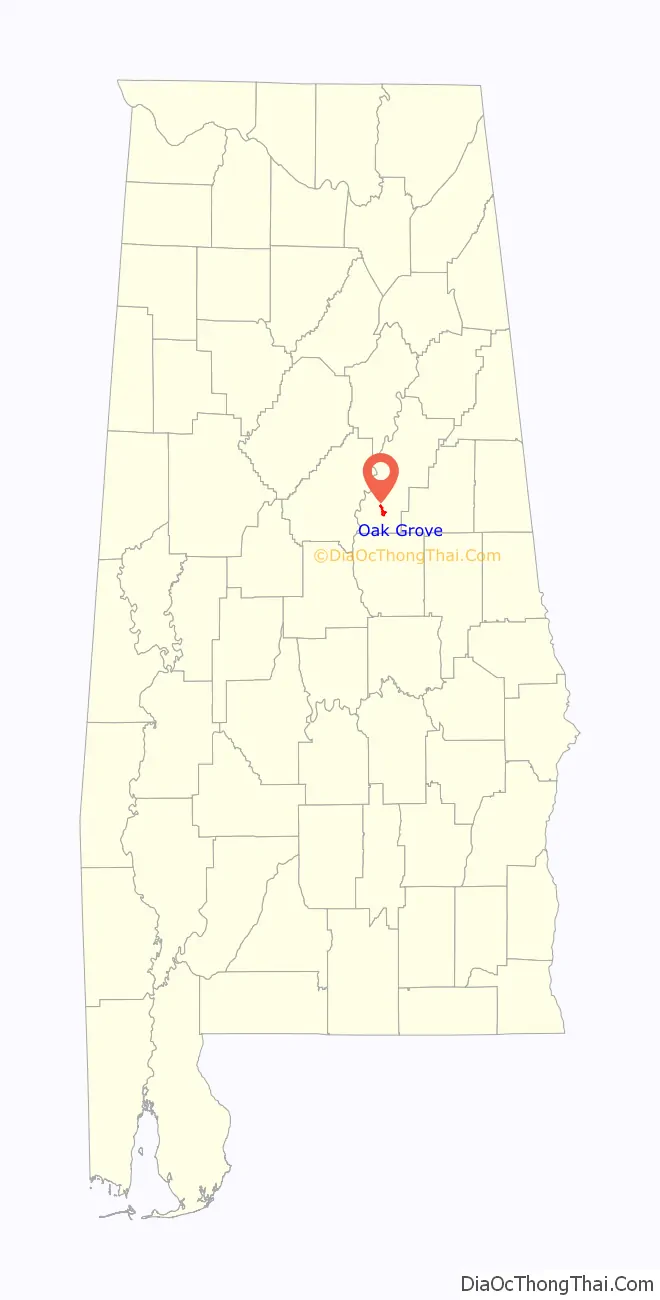
Oak Grove location map. Where is Oak Grove town?
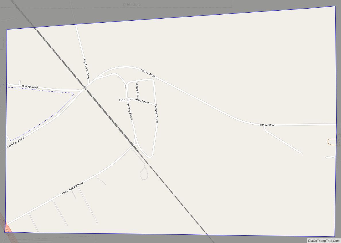
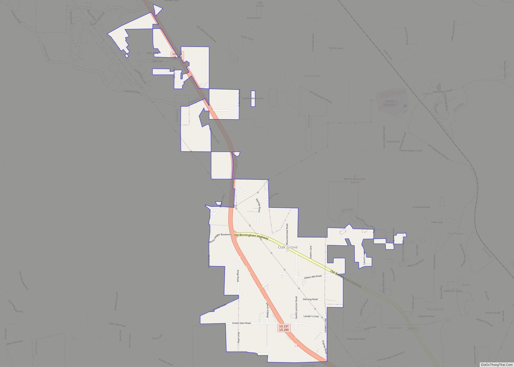
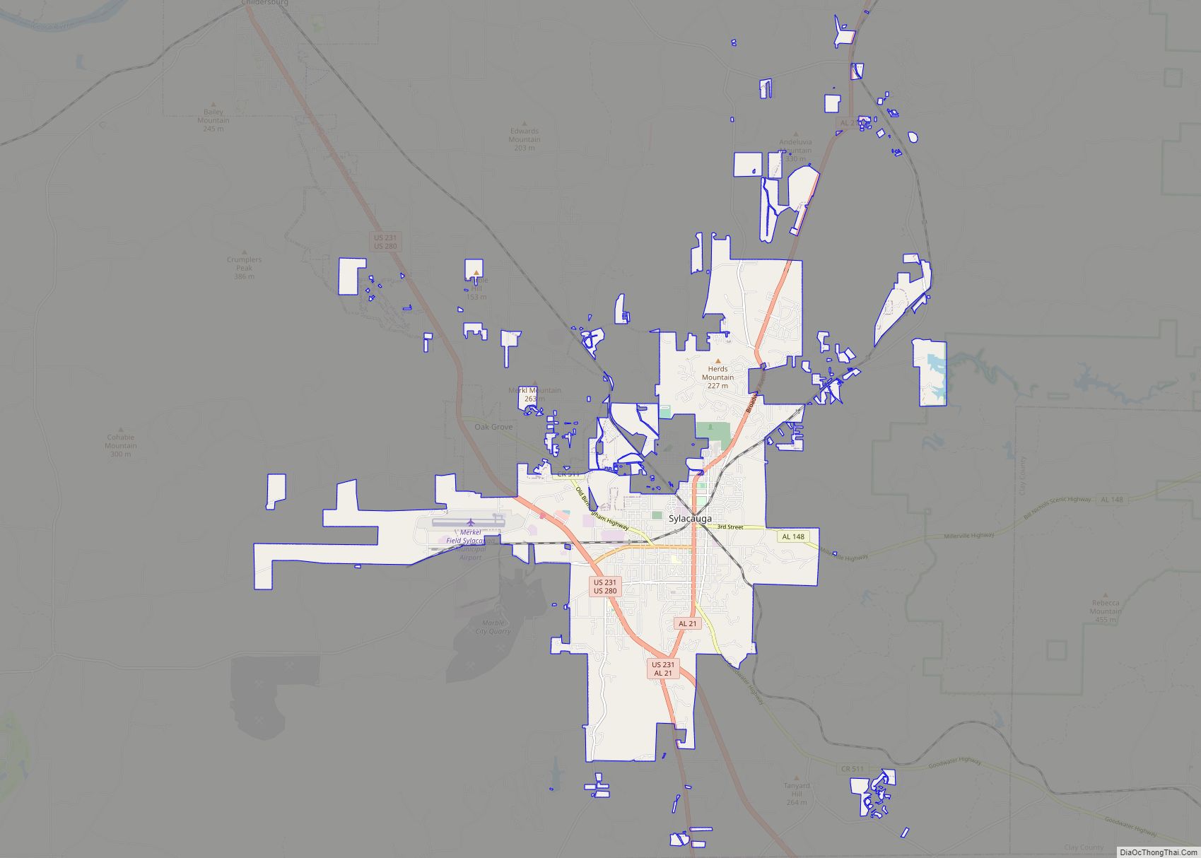
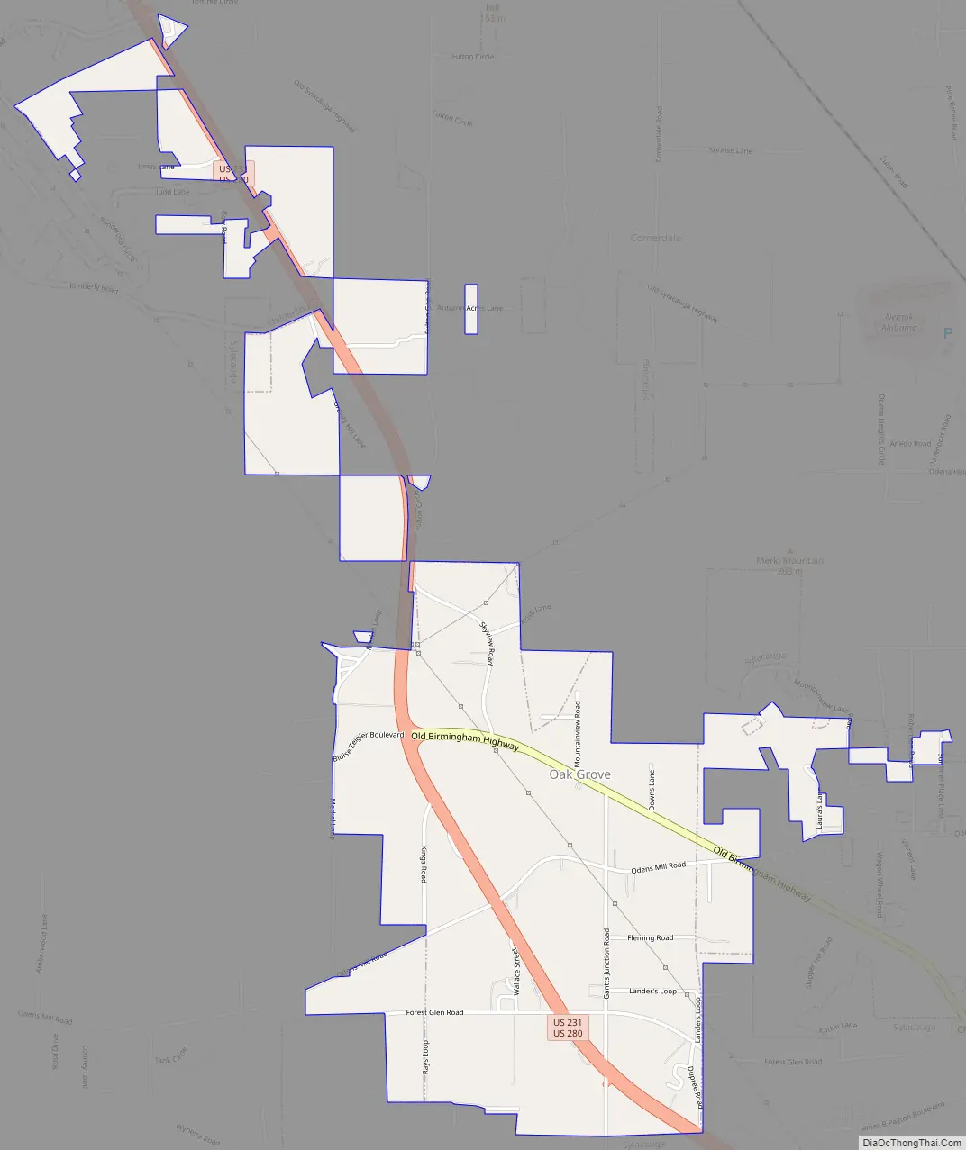
Oak Grove Road Map
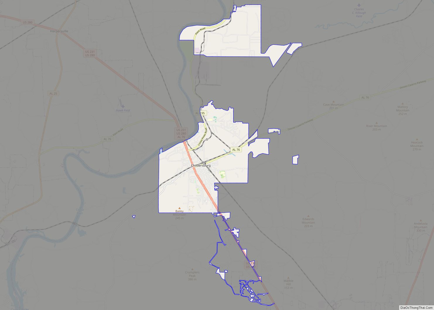
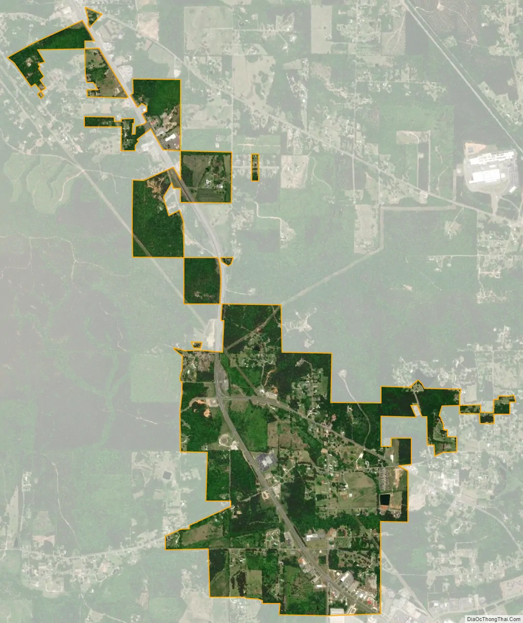
Oak Grove city Satellite Map
Geography
The town of Oak Grove is located at 33°11′23″N 86°18′11″W / 33.18972°N 86.30306°W / 33.18972; -86.30306 (33.189772, -86.303163).
According to the U.S. Census Bureau, the town has a total area of 1.8 square miles (4.6 km), all land.
Oak Grove is a suburb of the city of Sylacauga. The two municipalities are contiguous, and both run along U.S. Highway 280, which runs from Birmingham, Alabama, southeastward to Columbus, Georgia, and then through Georgia toward Savannah. Oak Grove is 40 miles (64 km) southeast of Birmingham and 70 miles (110 km) north of Montgomery via U.S. Highway 231.
Oak Grove is a hilly town occupying both sides of Landers Hill and Merkle Mountain. There is no town square or downtown. There are numerous businesses along U.S. Highway 280, locally called “the four-lane”, and County Road 511, which was formerly U.S. 280 before construction of the four-lane.
In the middle of Oak Grove between its two hills there was a cut-your-own Christmas tree farm which yearly drew hundreds of families to Oak Grove. It was started in 1978 by later Oak Grove Mayor Bloise Zeigler, who operated the farm through 2009. Zeigler grew the official Alabama state Christmas tree, which was displayed at the Alabama Governor’s Mansion in 2004. The Christmas tree farm was closed in 2010 and donated by the former Mayor to the Town of Oak Grove as a community garden named “Comet Grove”. It provides free produce to low-income people and cheap produce to everyone else. It has ordinary open gardens and two acres of experimental “plasticulture”.
See also
Map of Alabama State and its subdivision:- Autauga
- Baldwin
- Barbour
- Bibb
- Blount
- Bullock
- Butler
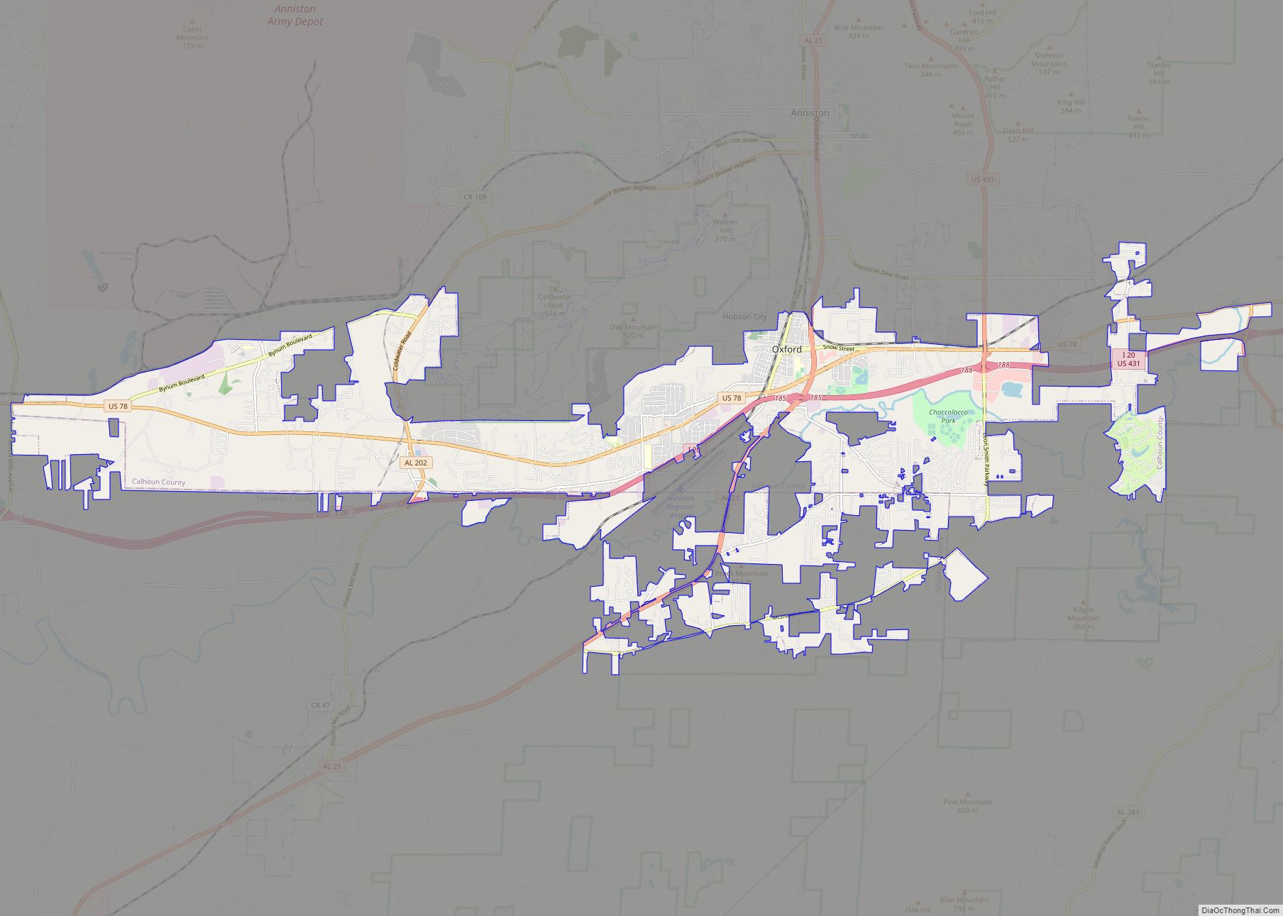
- Calhoun
- Chambers
- Cherokee
- Chilton
- Choctaw
- Clarke
- Clay
- Cleburne
- Coffee
- Colbert
- Conecuh
- Coosa
- Covington
- Crenshaw
- Cullman
- Dale
- Dallas
- De Kalb
- Elmore
- Escambia
- Etowah
- Fayette
- Franklin
- Geneva
- Greene
- Hale
- Henry
- Houston
- Jackson
- Jefferson
- Lamar
- Lauderdale
- Lawrence
- Lee
- Limestone
- Lowndes
- Macon
- Madison
- Marengo
- Marion
- Marshall
- Mobile
- Monroe
- Montgomery
- Morgan
- Perry
- Pickens
- Pike
- Randolph
- Russell
- Saint Clair
- Shelby
- Sumter
- Talladega
- Tallapoosa
- Tuscaloosa
- Walker
- Washington
- Wilcox
- Winston
- Alabama
- Alaska
- Arizona
- Arkansas
- California
- Colorado
- Connecticut
- Delaware
- District of Columbia
- Florida
- Georgia
- Hawaii
- Idaho
- Illinois
- Indiana
- Iowa
- Kansas
- Kentucky
- Louisiana
- Maine
- Maryland
- Massachusetts
- Michigan
- Minnesota
- Mississippi
- Missouri
- Montana
- Nebraska
- Nevada
- New Hampshire
- New Jersey
- New Mexico
- New York
- North Carolina
- North Dakota
- Ohio
- Oklahoma
- Oregon
- Pennsylvania
- Rhode Island
- South Carolina
- South Dakota
- Tennessee
- Texas
- Utah
- Vermont
- Virginia
- Washington
- West Virginia
- Wisconsin
- Wyoming