Pinckard is a town in Dale County, Alabama, United States. At the 2020 census, the population was 582. Pinckard incorporated in 1893 and is part of the Ozark Micropolitan Statistical Area.
| Name: | Pinckard town |
|---|---|
| LSAD Code: | 43 |
| LSAD Description: | town (suffix) |
| State: | Alabama |
| County: | Dale County |
| Elevation: | 348 ft (106 m) |
| Total Area: | 5.34 sq mi (13.84 km²) |
| Land Area: | 5.33 sq mi (13.81 km²) |
| Water Area: | 0.01 sq mi (0.02 km²) |
| Total Population: | 582 |
| Population Density: | 109.13/sq mi (42.13/km²) |
| ZIP code: | 36371 |
| Area code: | 334 |
| FIPS code: | 0159832 |
| GNISfeature ID: | 0152908 |
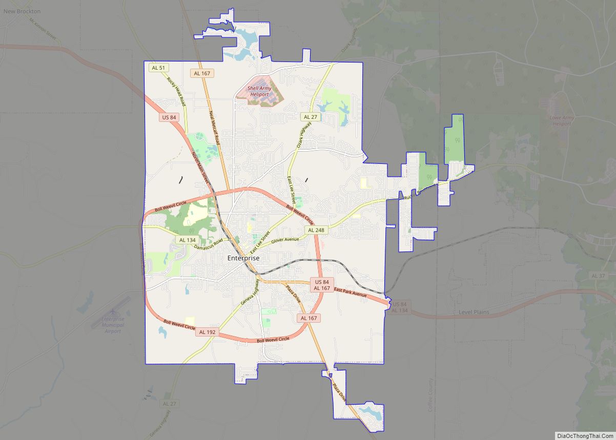
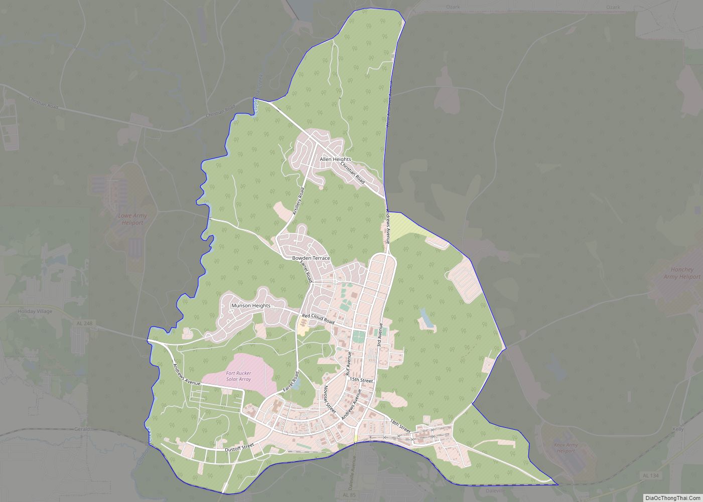
Online Interactive Map
Click on ![]() to view map in "full screen" mode.
to view map in "full screen" mode.
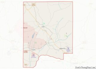
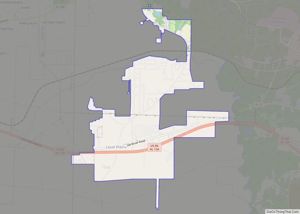
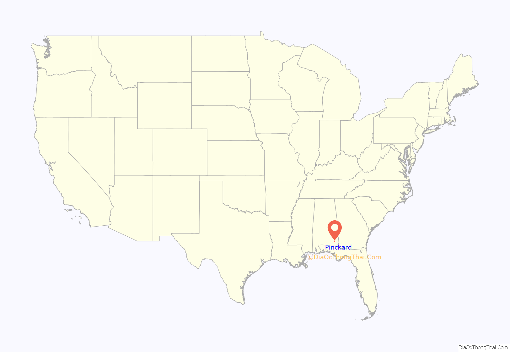
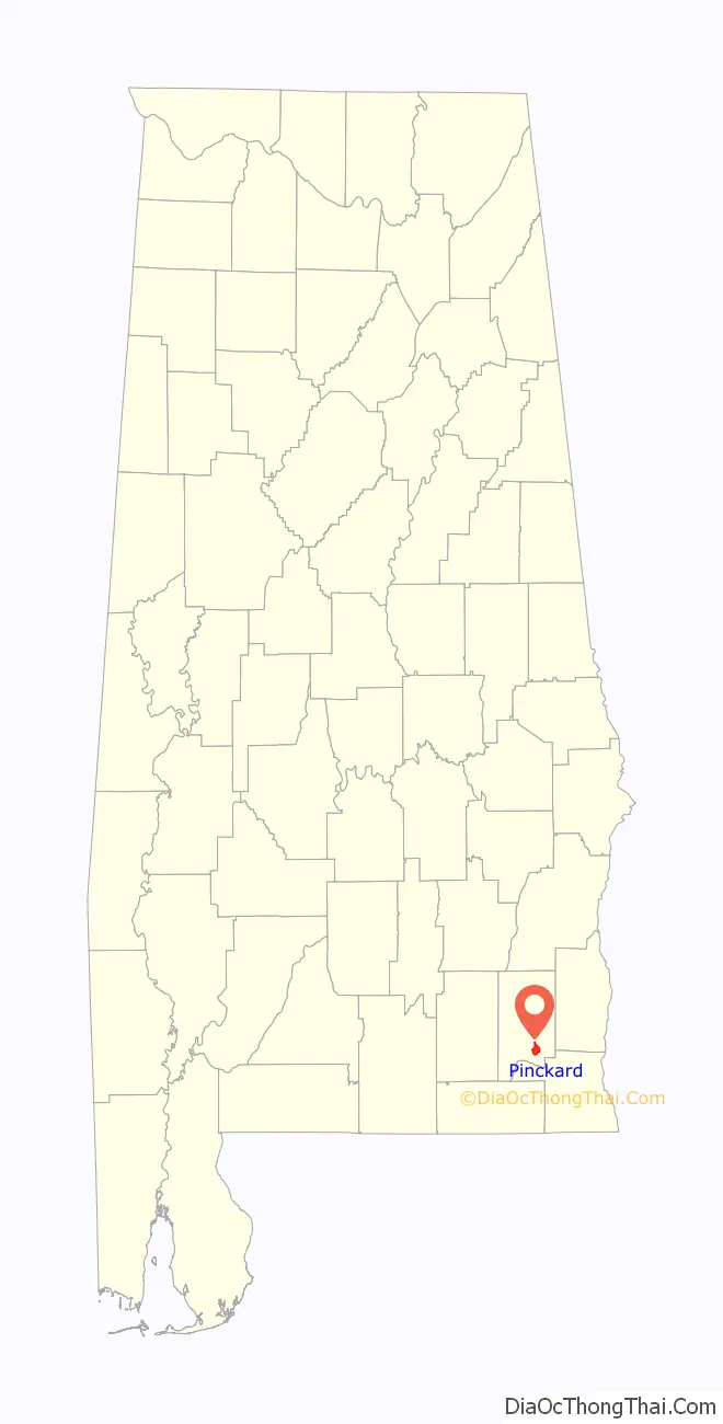
Pinckard location map. Where is Pinckard town?
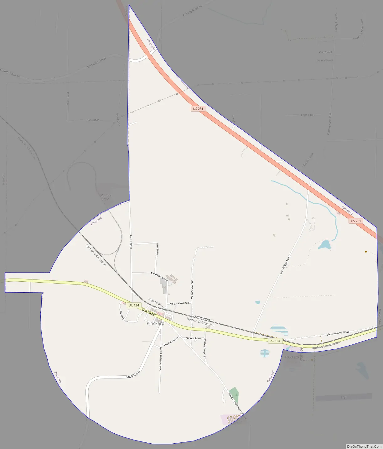
Pinckard Road Map
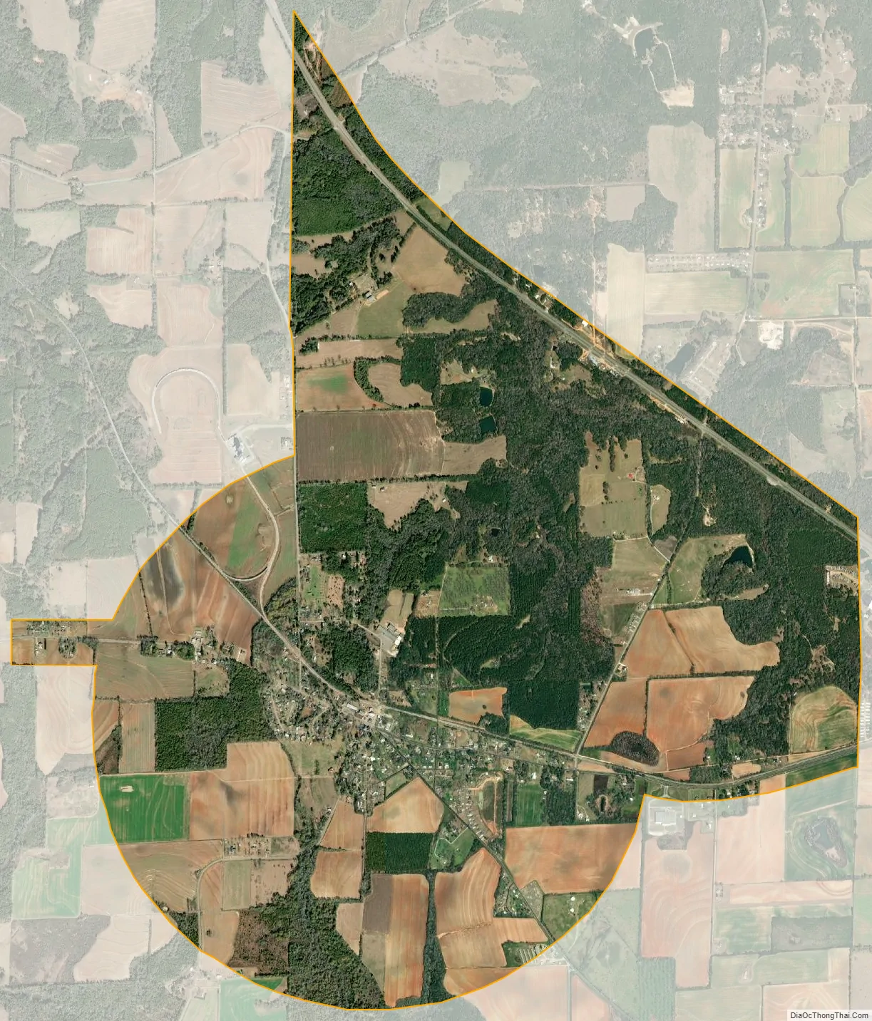
Pinckard city Satellite Map
Geography
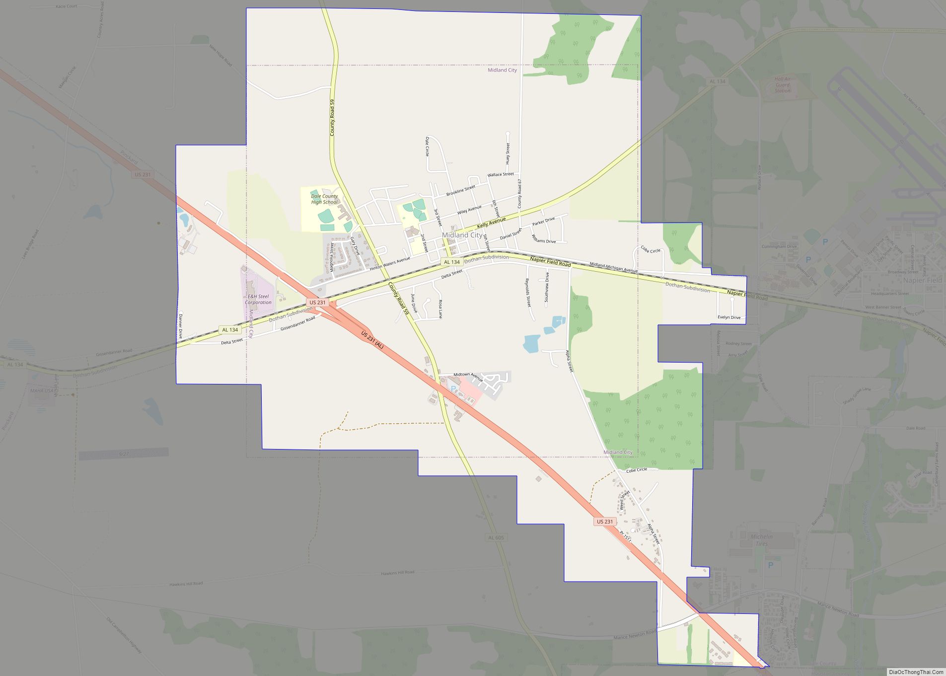
Pinckard is located in southeastern Dale County at 31°18′46″N 85°32′45″W / 31.31278°N 85.54583°W / 31.31278; -85.54583 (31.312803, -85.545713). It is bordered to the east by the town of Midland City and to the northwest by the town of Newton. The northeast border of Pinckard follows the northeast side of U.S. Route 231, a four-lane highway which leads northwest to Ozark, the county seat, and southeast to Dothan.
According to the U.S. Census Bureau, the town of Pinckard has a total area of 5.3 square miles (13.8 km), of which 0.01 square miles (0.02 km), or 0.16%, is water.
See also
Map of Alabama State and its subdivision:- Autauga
- Baldwin
- Barbour
- Bibb
- Blount
- Bullock
- Butler
- Calhoun
- Chambers
- Cherokee
- Chilton
- Choctaw
- Clarke
- Clay
- Cleburne
- Coffee
- Colbert
- Conecuh
- Coosa
- Covington
- Crenshaw
- Cullman
- Dale
- Dallas
- De Kalb
- Elmore
- Escambia
- Etowah
- Fayette
- Franklin
- Geneva
- Greene
- Hale
- Henry
- Houston
- Jackson
- Jefferson
- Lamar
- Lauderdale
- Lawrence
- Lee
- Limestone
- Lowndes
- Macon
- Madison
- Marengo
- Marion
- Marshall
- Mobile
- Monroe
- Montgomery
- Morgan
- Perry
- Pickens
- Pike
- Randolph
- Russell
- Saint Clair
- Shelby
- Sumter
- Talladega
- Tallapoosa
- Tuscaloosa
- Walker
- Washington
- Wilcox
- Winston
- Alabama
- Alaska
- Arizona
- Arkansas
- California
- Colorado
- Connecticut
- Delaware
- District of Columbia
- Florida
- Georgia
- Hawaii
- Idaho
- Illinois
- Indiana
- Iowa
- Kansas
- Kentucky
- Louisiana
- Maine
- Maryland
- Massachusetts
- Michigan
- Minnesota
- Mississippi
- Missouri
- Montana
- Nebraska
- Nevada
- New Hampshire
- New Jersey
- New Mexico
- New York
- North Carolina
- North Dakota
- Ohio
- Oklahoma
- Oregon
- Pennsylvania
- Rhode Island
- South Carolina
- South Dakota
- Tennessee
- Texas
- Utah
- Vermont
- Virginia
- Washington
- West Virginia
- Wisconsin
- Wyoming