Riverside is a city in St. Clair County, Alabama, United States. It incorporated in 1886. At the 2010 census the population was 2,208, up from 1,564 in 2000.
| Name: | Riverside city |
|---|---|
| LSAD Code: | 25 |
| LSAD Description: | city (suffix) |
| State: | Alabama |
| County: | St. Clair County |
| Elevation: | 505 ft (154 m) |
| Total Area: | 10.41 sq mi (26.96 km²) |
| Land Area: | 8.66 sq mi (22.44 km²) |
| Water Area: | 1.74 sq mi (4.51 km²) |
| Total Population: | 2,227 |
| Population Density: | 257.01/sq mi (99.23/km²) |
| ZIP code: | 35135 |
| Area code: | 205, 659 |
| FIPS code: | 0164920 |
| GNISfeature ID: | 0164834 |
| Website: | http://www.riverside-al.com/ |
Online Interactive Map
Click on ![]() to view map in "full screen" mode.
to view map in "full screen" mode.
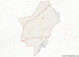
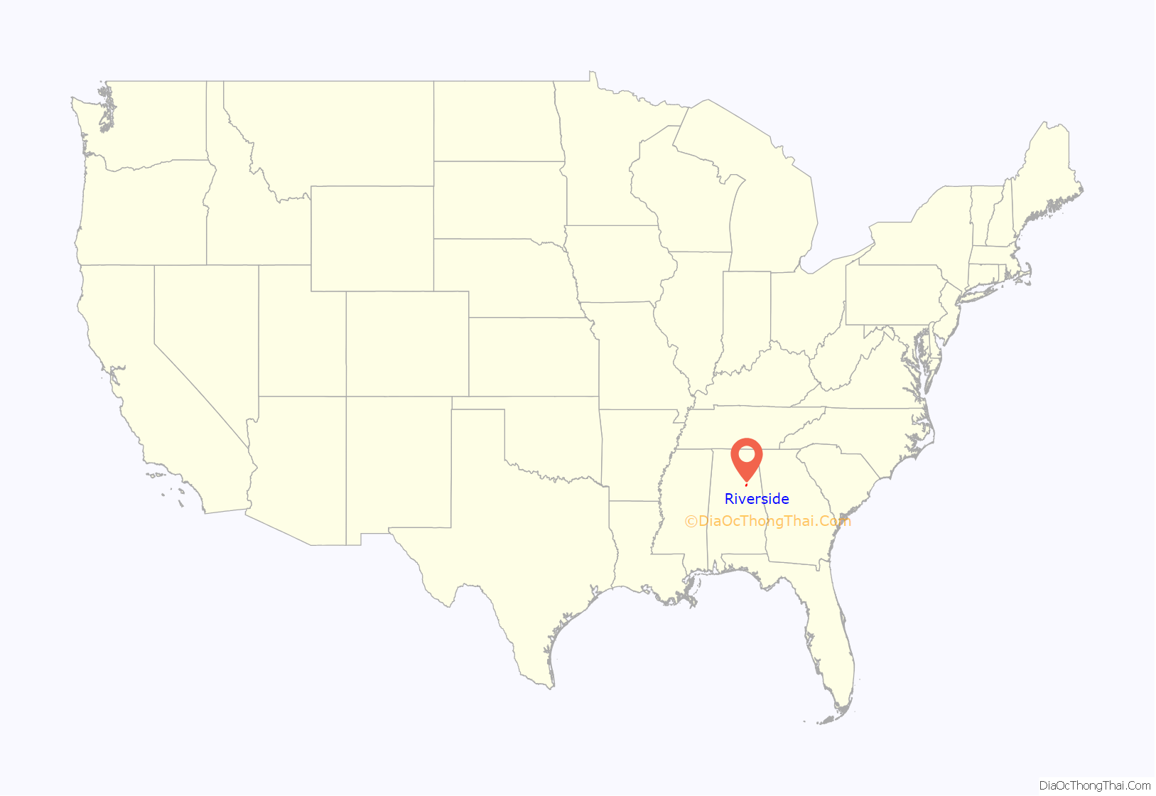
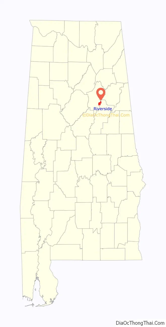
Riverside location map. Where is Riverside city?
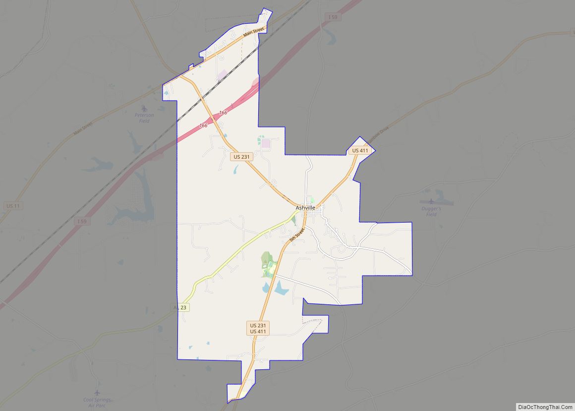
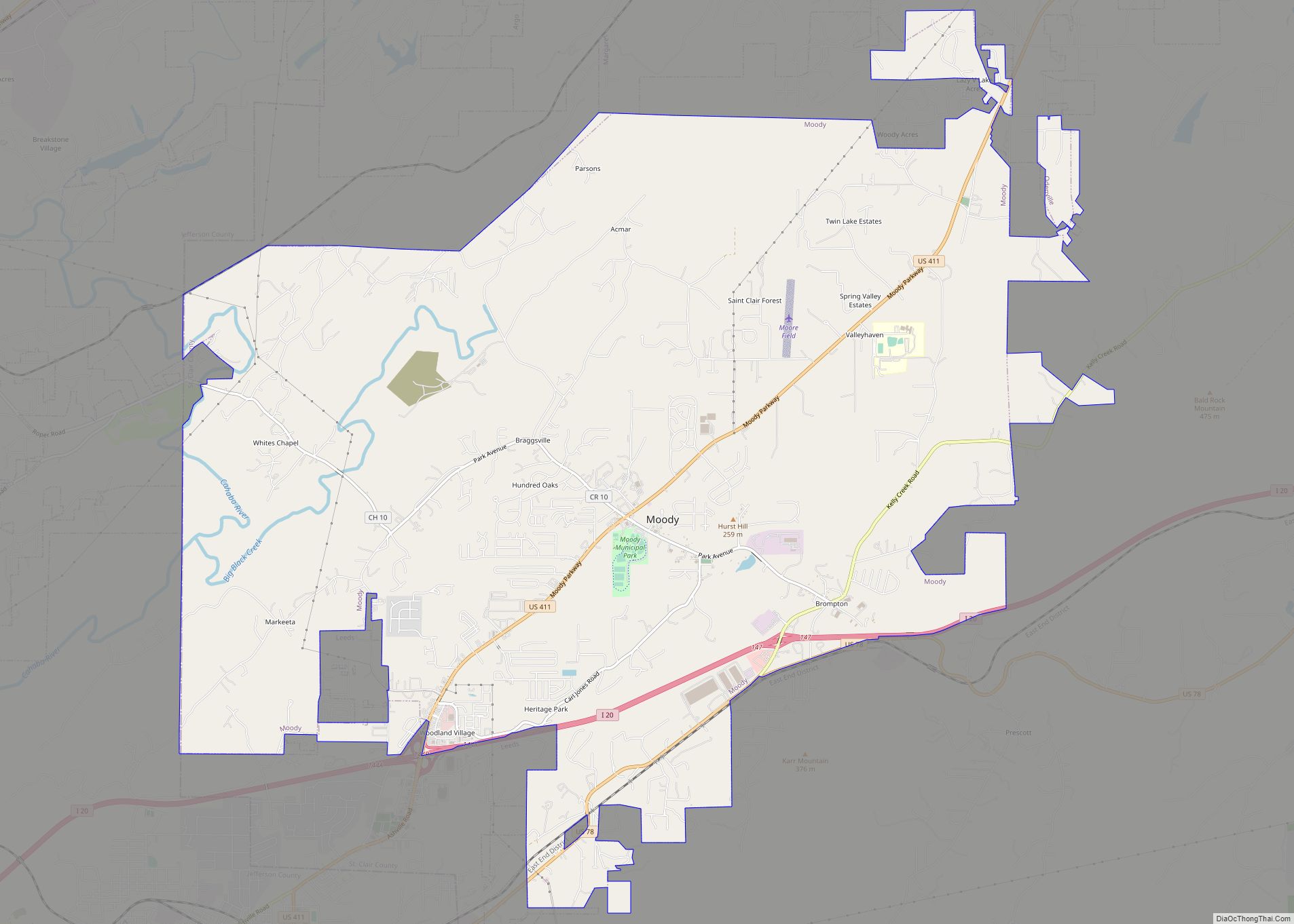
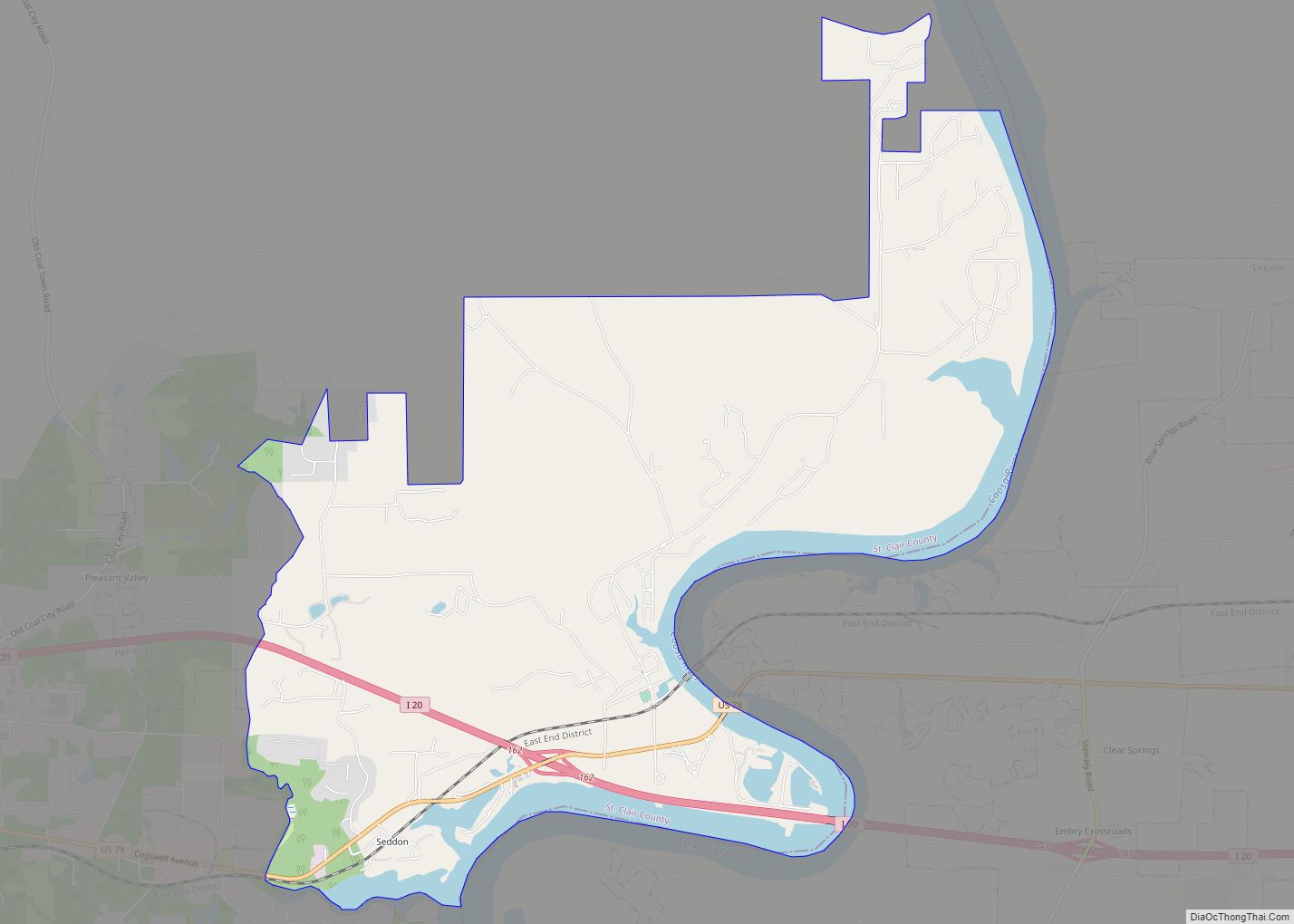
Riverside Road Map
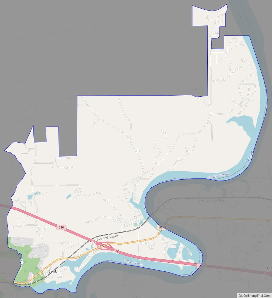
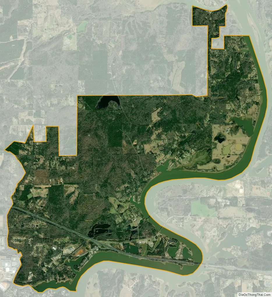
Riverside city Satellite Map
Geography
Riverside is located at 33°36′52″N 86°12′02″W / 33.614465°N 86.200678°W / 33.614465; -86.200678.
According to the U.S. Census Bureau, the town has a total area of 10.6 square miles (27 km), of which 8.9 square miles (23 km) is land and 1.6 square miles (4.1 km) (15.42%) is water.
The city is located along the Coosa River just east of Pell City along Interstate 20, which runs west to east through the southern part of the city. Access to the city can be found from exit 162. Via I-20, Birmingham is west 39 mi (63 km), and Atlanta is east 110 mi (177 km). U.S. Route 78 also runs through the city.
See also
Map of Alabama State and its subdivision:- Autauga
- Baldwin
- Barbour
- Bibb
- Blount
- Bullock
- Butler
- Calhoun
- Chambers
- Cherokee
- Chilton
- Choctaw
- Clarke
- Clay
- Cleburne
- Coffee
- Colbert
- Conecuh
- Coosa
- Covington
- Crenshaw
- Cullman
- Dale
- Dallas
- De Kalb
- Elmore
- Escambia
- Etowah
- Fayette
- Franklin
- Geneva
- Greene
- Hale
- Henry
- Houston
- Jackson
- Jefferson
- Lamar
- Lauderdale
- Lawrence
- Lee
- Limestone
- Lowndes
- Macon
- Madison
- Marengo
- Marion
- Marshall
- Mobile
- Monroe
- Montgomery
- Morgan
- Perry
- Pickens
- Pike
- Randolph
- Russell
- Saint Clair
- Shelby
- Sumter
- Talladega
- Tallapoosa
- Tuscaloosa
- Walker
- Washington
- Wilcox
- Winston
- Alabama
- Alaska
- Arizona
- Arkansas
- California
- Colorado
- Connecticut
- Delaware
- District of Columbia
- Florida
- Georgia
- Hawaii
- Idaho
- Illinois
- Indiana
- Iowa
- Kansas
- Kentucky
- Louisiana
- Maine
- Maryland
- Massachusetts
- Michigan
- Minnesota
- Mississippi
- Missouri
- Montana
- Nebraska
- Nevada
- New Hampshire
- New Jersey
- New Mexico
- New York
- North Carolina
- North Dakota
- Ohio
- Oklahoma
- Oregon
- Pennsylvania
- Rhode Island
- South Carolina
- South Dakota
- Tennessee
- Texas
- Utah
- Vermont
- Virginia
- Washington
- West Virginia
- Wisconsin
- Wyoming