Rosa is a town in Blount County, Alabama, United States. At the 2020 census, the population was 376.
| Name: | Rosa town |
|---|---|
| LSAD Code: | 43 |
| LSAD Description: | town (suffix) |
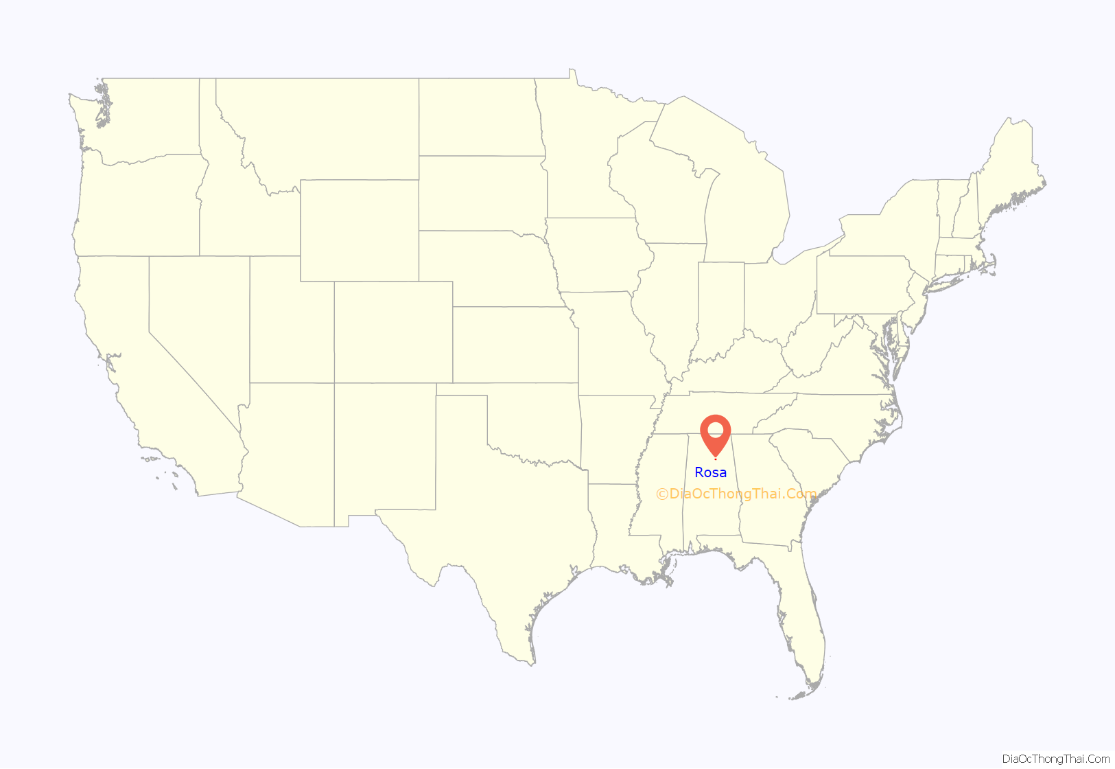
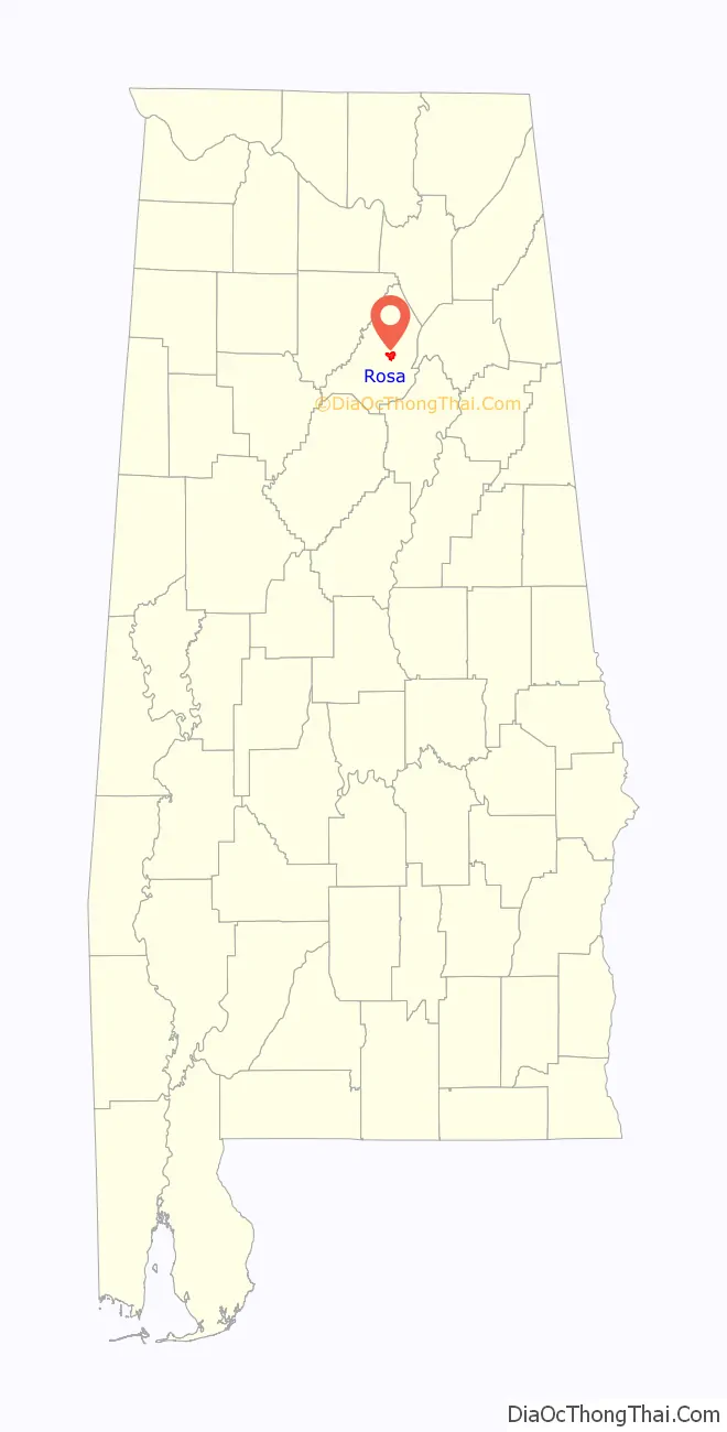
| State: | Alabama |
| County: | Blount County |
| Elevation: | 620 ft (190 m) |
| Total Area: | 4.20 sq mi (10.88 km²) |
| Land Area: | 4.19 sq mi (10.86 km²) |
| Water Area: | 0.01 sq mi (0.02 km²) |
| Total Population: | 376 |
| Population Density: | 89.65/sq mi (34.62/km²) |
| ZIP code: | 35121 |
| Area code: | 205, 659 |
| FIPS code: | 0166408 |
| GNISfeature ID: | 0125932 |
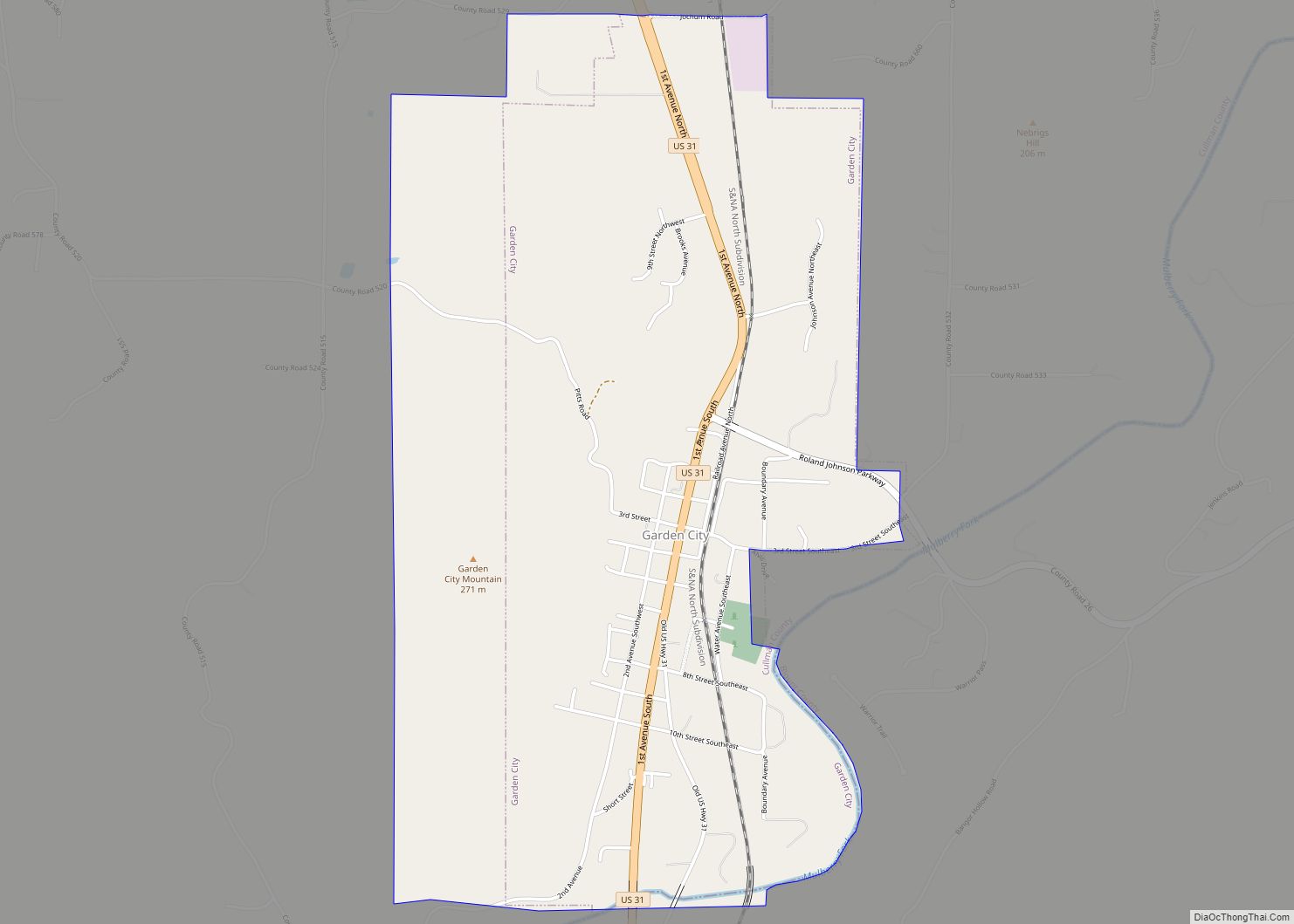
Online Interactive Map
Click on ![]() to view map in "full screen" mode.
to view map in "full screen" mode.
Rosa location map. Where is Rosa town?
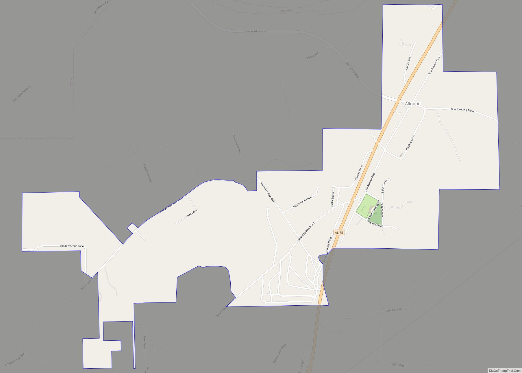
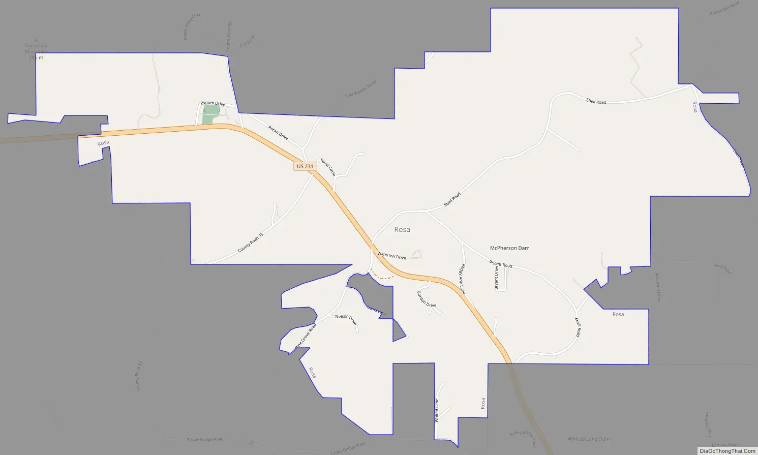
Rosa Road Map
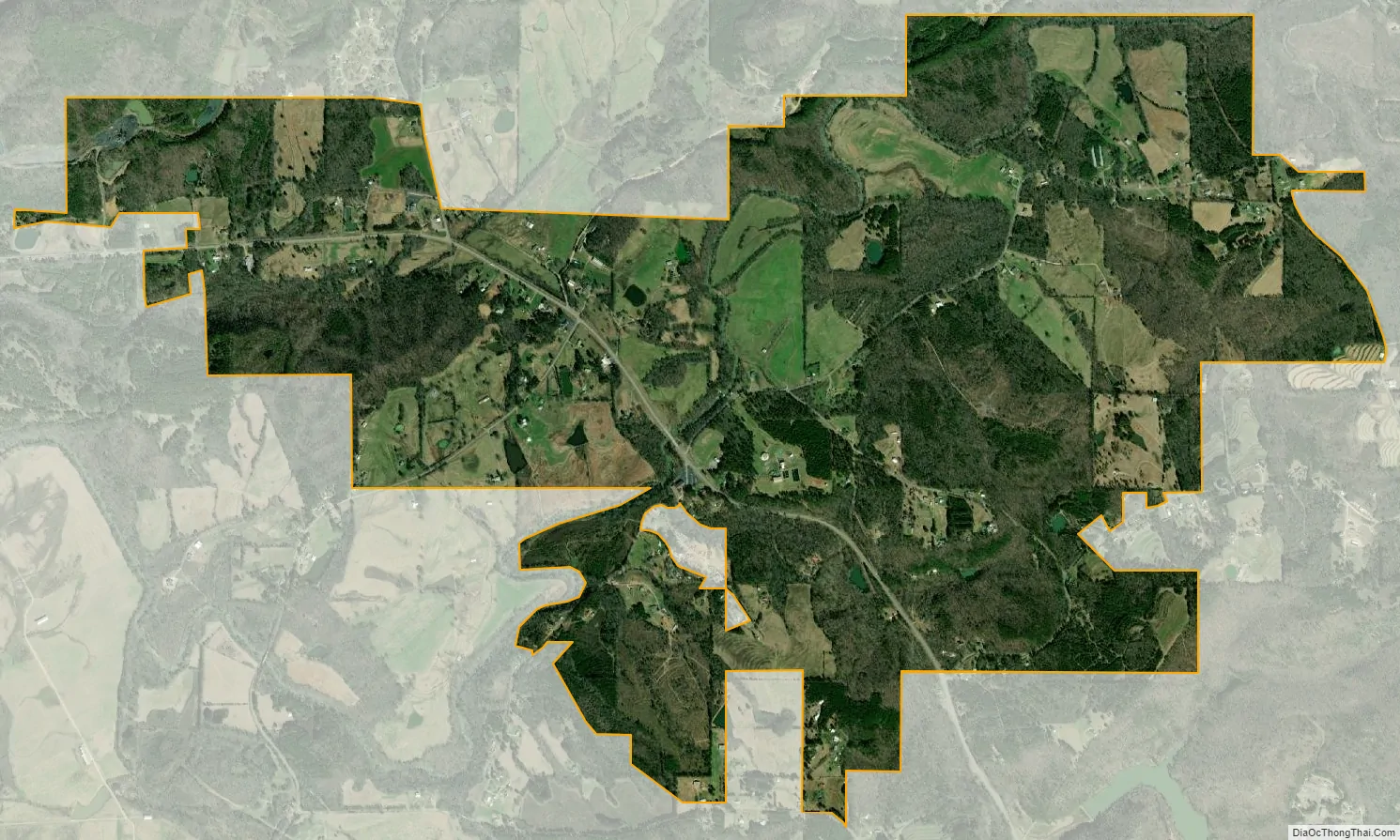
Rosa city Satellite Map
Geography
Rosa is located in central Blount County at 33°59’23.316″ North, 86°30’42.977″ West (33.989810, -86.511938). Its town limits extend southeast to border the city of Oneonta, the county seat. U.S. Route 231 passes through the center of Rosa, leading southeast 4 miles (6 km) to the center of Oneonta and 18 miles (29 km) to Interstate 59 near Ashville. US-231 leads west 3 miles (5 km) to Cleveland and then north 60 miles (97 km) to Huntsville.
According to the U.S. Census Bureau, Rosa has a total area of 3.8 square miles (9.8 km), of which 0.004 square miles (0.01 km), or 0.15%, is water.
See also
Map of Alabama State and its subdivision:- Autauga
- Baldwin
- Barbour
- Bibb
- Blount
- Bullock
- Butler
- Calhoun
- Chambers
- Cherokee
- Chilton
- Choctaw
- Clarke
- Clay
- Cleburne
- Coffee
- Colbert
- Conecuh
- Coosa
- Covington
- Crenshaw
- Cullman
- Dale
- Dallas
- De Kalb
- Elmore
- Escambia
- Etowah
- Fayette
- Franklin
- Geneva
- Greene
- Hale
- Henry
- Houston
- Jackson
- Jefferson
- Lamar
- Lauderdale
- Lawrence
- Lee
- Limestone
- Lowndes
- Macon
- Madison
- Marengo
- Marion
- Marshall
- Mobile
- Monroe
- Montgomery
- Morgan
- Perry
- Pickens
- Pike
- Randolph
- Russell
- Saint Clair
- Shelby
- Sumter
- Talladega
- Tallapoosa
- Tuscaloosa
- Walker
- Washington
- Wilcox
- Winston
- Alabama
- Alaska
- Arizona
- Arkansas
- California
- Colorado
- Connecticut
- Delaware
- District of Columbia
- Florida
- Georgia
- Hawaii
- Idaho
- Illinois
- Indiana
- Iowa
- Kansas
- Kentucky
- Louisiana
- Maine
- Maryland
- Massachusetts
- Michigan
- Minnesota
- Mississippi
- Missouri
- Montana
- Nebraska
- Nevada
- New Hampshire
- New Jersey
- New Mexico
- New York
- North Carolina
- North Dakota
- Ohio
- Oklahoma
- Oregon
- Pennsylvania
- Rhode Island
- South Carolina
- South Dakota
- Tennessee
- Texas
- Utah
- Vermont
- Virginia
- Washington
- West Virginia
- Wisconsin
- Wyoming