Shoal Creek is a private, gated/guarded residential community in Shelby County, Alabama, United States. Its population was 274 as of the 2010 census. The population is constantly fluctuating. The community has many features to provide its residents. Shoal Creek Golf and Country Club is located in Shoal Creek. Home of the 2018 U.S. Women’s Open Golf Championship. It is a part of the Birmingham, Alabama metropolitan area, approximately 15 miles (24 km) southeast of downtown Birmingham.
| Name: | Shoal Creek CDP |
|---|---|
| LSAD Code: | 57 |
| LSAD Description: | CDP (suffix) |
| State: | Alabama |
| County: | Shelby County |
| Elevation: | 801 ft (244 m) |
| Total Area: | 5.31 sq mi (13.74 km²) |
| Land Area: | 5.04 sq mi (13.06 km²) |
| Water Area: | 0.26 sq mi (0.68 km²) |
| Total Population: | 1,668 |
| Population Density: | 330.89/sq mi (127.76/km²) |
| Area code: | 205, 659 |
| FIPS code: | 0169978 |
| GNISfeature ID: | 2582699 |
Online Interactive Map
Click on ![]() to view map in "full screen" mode.
to view map in "full screen" mode.
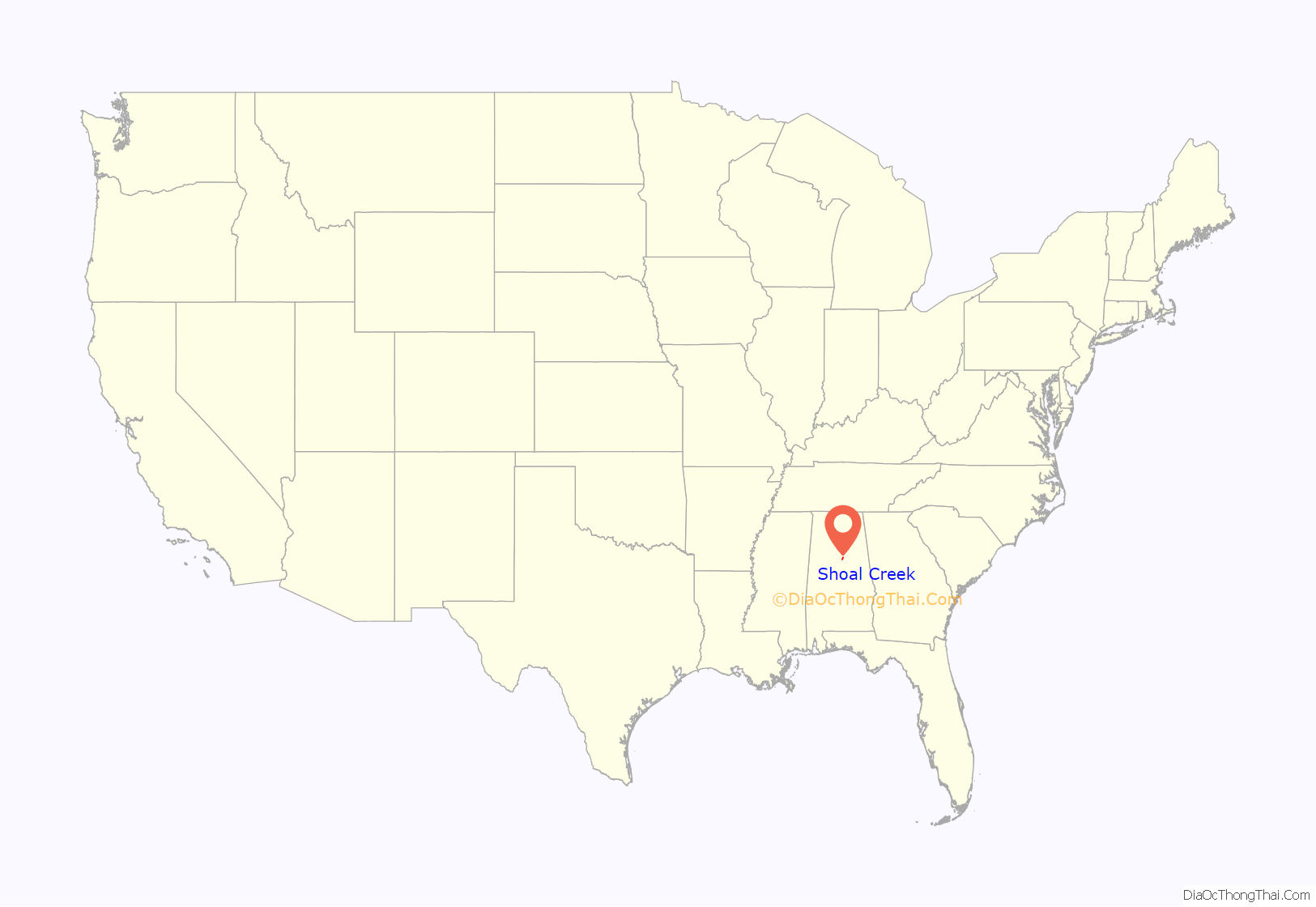
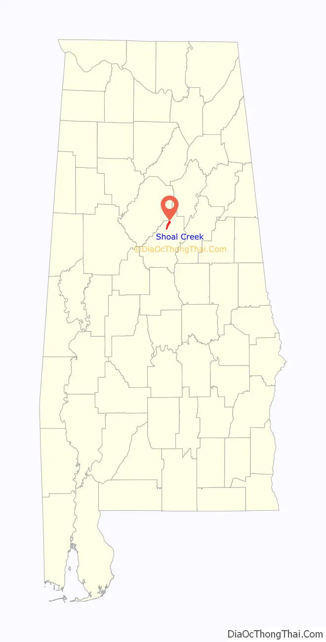
Shoal Creek location map. Where is Shoal Creek CDP?
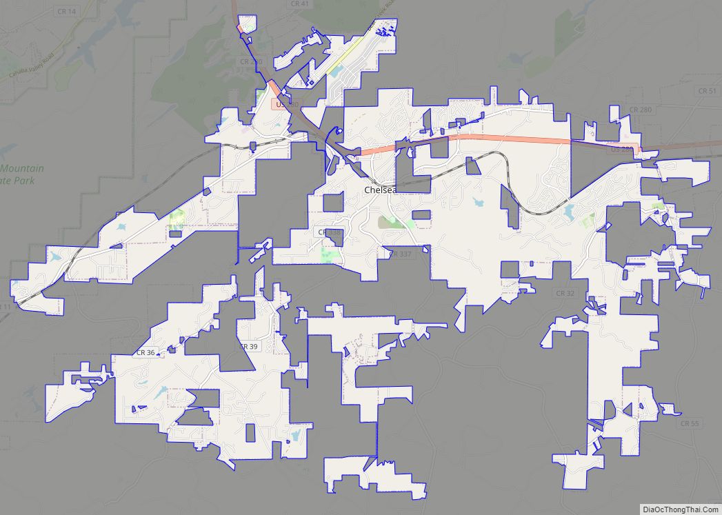
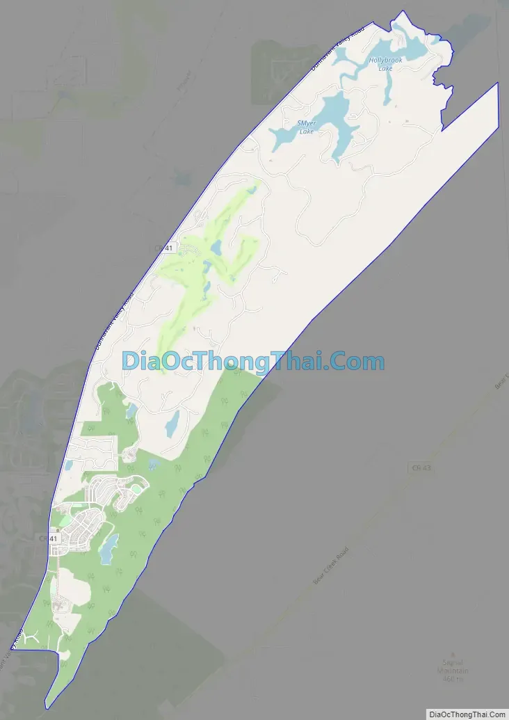
Shoal Creek Road Map
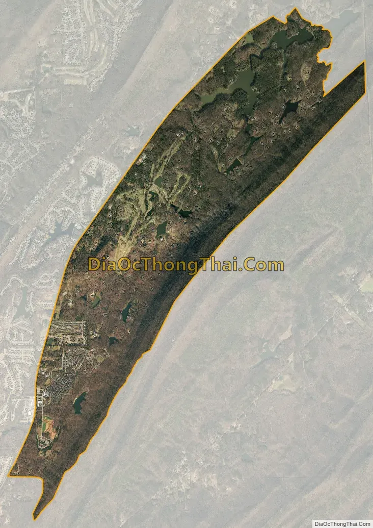
Shoal Creek city Satellite Map
See also
Map of Alabama State and its subdivision:- Autauga
- Baldwin
- Barbour
- Bibb
- Blount
- Bullock
- Butler
- Calhoun
- Chambers
- Cherokee
- Chilton
- Choctaw
- Clarke
- Clay
- Cleburne
- Coffee
- Colbert
- Conecuh
- Coosa
- Covington
- Crenshaw
- Cullman
- Dale
- Dallas
- De Kalb
- Elmore
- Escambia
- Etowah
- Fayette
- Franklin
- Geneva
- Greene
- Hale
- Henry
- Houston
- Jackson
- Jefferson
- Lamar
- Lauderdale
- Lawrence
- Lee
- Limestone
- Lowndes
- Macon
- Madison
- Marengo
- Marion
- Marshall
- Mobile
- Monroe
- Montgomery
- Morgan
- Perry
- Pickens
- Pike
- Randolph
- Russell
- Saint Clair
- Shelby
- Sumter
- Talladega
- Tallapoosa
- Tuscaloosa
- Walker
- Washington
- Wilcox
- Winston
- Alabama
- Alaska
- Arizona
- Arkansas
- California
- Colorado
- Connecticut
- Delaware
- District of Columbia
- Florida
- Georgia
- Hawaii
- Idaho
- Illinois
- Indiana
- Iowa
- Kansas
- Kentucky
- Louisiana
- Maine
- Maryland
- Massachusetts
- Michigan
- Minnesota
- Mississippi
- Missouri
- Montana
- Nebraska
- Nevada
- New Hampshire
- New Jersey
- New Mexico
- New York
- North Carolina
- North Dakota
- Ohio
- Oklahoma
- Oregon
- Pennsylvania
- Rhode Island
- South Carolina
- South Dakota
- Tennessee
- Texas
- Utah
- Vermont
- Virginia
- Washington
- West Virginia
- Wisconsin
- Wyoming