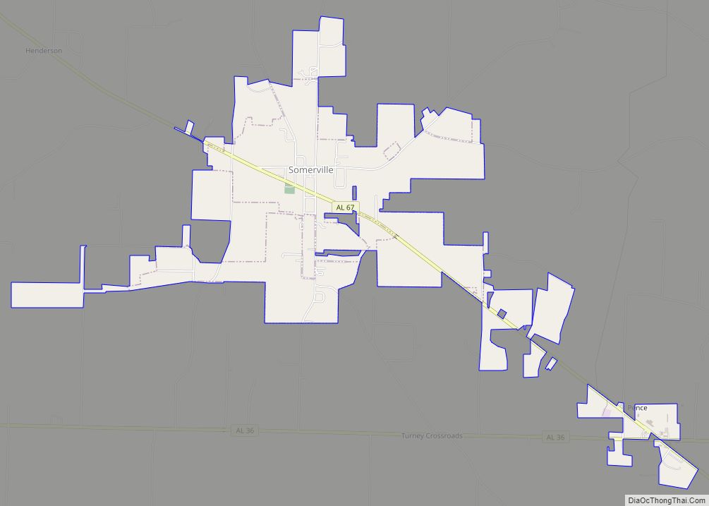
Somerville is a town in Morgan County, Alabama, United States. It is included in the Decatur Metropolitan Area and the Huntsville-Decatur Combined Statistical Area. As of the 2020 census, the population of the town was 796.
| Name: | Somerville town |
|---|---|
| LSAD Code: | 43 |
| LSAD Description: | town (suffix) |
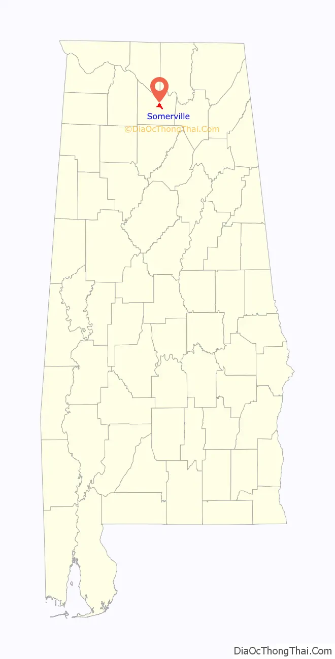
| State: | Alabama |
| County: | Morgan County |
| Incorporated: | December 3, 1819 |
| Elevation: | 604 ft (184 m) |
| Total Area: | 3.47 sq mi (8.98 km²) |
| Land Area: | 3.46 sq mi (8.97 km²) |
| Water Area: | 0.01 sq mi (0.01 km²) |
| Total Population: | 796 |
| Population Density: | 229.86/sq mi (88.74/km²) |
| ZIP code: | 35670 |
| Area code: | 256 |
| FIPS code: | 0171496 |
| GNISfeature ID: | 2407365 |
| Website: | www.townofsomerville.org |
Online Interactive Map
Click on ![]() to view map in "full screen" mode.
to view map in "full screen" mode.
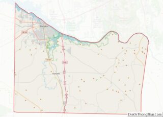
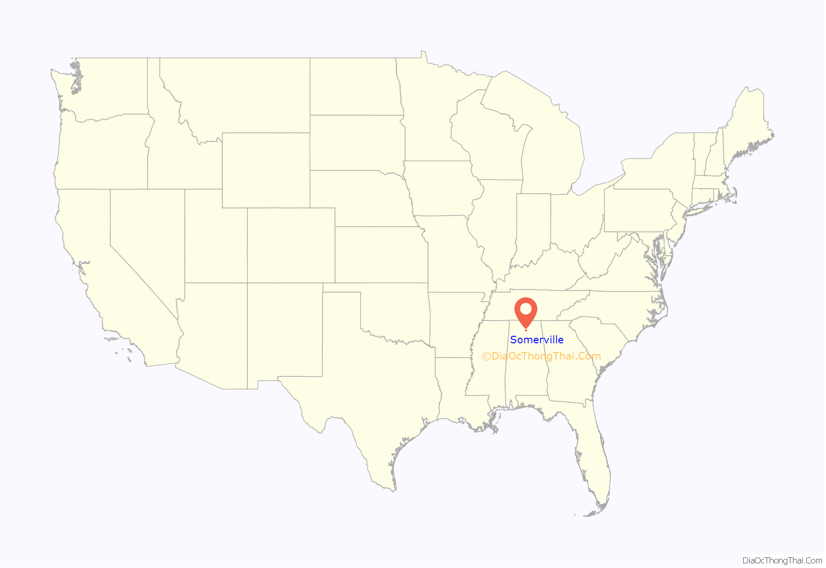
Somerville location map. Where is Somerville town?
History
Somerville was the county seat of Morgan County from 1818 to 1891, when the seat was moved to Decatur. The town was named for Robert M. Summerville, an officer killed in 1814 during the Creek War. Initially incorporated on December 3, 1819, it is a few days older than the state. After its loss of the county seat in the 1890s, its incorporation lapsed. It was reorganized (reincorporated) on December 1, 1955.
Somerville Road Map
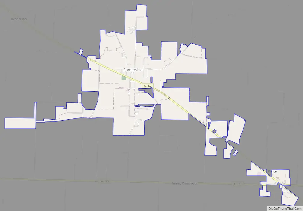
Somerville city Satellite Map

Geography
Somerville is located in central Morgan County at 34°28′12″N 86°47′56″W / 34.47000°N 86.79889°W / 34.47000; -86.79889 (34.469961, -86.798782), along Alabama State Route 67, which leads northwest 15 miles (24 km) to Decatur and southeast 18 miles (29 km) to the edge of Baileyton.
According to the U.S. Census Bureau, the town has a total area of 3.5 square miles (9.1 km), of which 0.005 square miles (3.2 acres), or 0.14%, are water. Somerville is drained by Town Creek, which flows east to Cotaco Creek, a north-flowing tributary of the Tennessee River.
See also
Map of Alabama State and its subdivision:- Autauga
- Baldwin
- Barbour
- Bibb
- Blount
- Bullock
- Butler
- Calhoun
- Chambers
- Cherokee
- Chilton
- Choctaw
- Clarke
- Clay
- Cleburne
- Coffee
- Colbert
- Conecuh
- Coosa
- Covington
- Crenshaw
- Cullman
- Dale
- Dallas
- De Kalb
- Elmore
- Escambia
- Etowah
- Fayette
- Franklin
- Geneva
- Greene
- Hale
- Henry
- Houston
- Jackson
- Jefferson
- Lamar
- Lauderdale
- Lawrence
- Lee
- Limestone
- Lowndes
- Macon
- Madison
- Marengo
- Marion
- Marshall
- Mobile
- Monroe
- Montgomery
- Morgan
- Perry
- Pickens
- Pike
- Randolph
- Russell
- Saint Clair
- Shelby
- Sumter
- Talladega
- Tallapoosa
- Tuscaloosa
- Walker
- Washington
- Wilcox
- Winston
- Alabama
- Alaska
- Arizona
- Arkansas
- California
- Colorado
- Connecticut
- Delaware
- District of Columbia
- Florida
- Georgia
- Hawaii
- Idaho
- Illinois
- Indiana
- Iowa
- Kansas
- Kentucky
- Louisiana
- Maine
- Maryland
- Massachusetts
- Michigan
- Minnesota
- Mississippi
- Missouri
- Montana
- Nebraska
- Nevada
- New Hampshire
- New Jersey
- New Mexico
- New York
- North Carolina
- North Dakota
- Ohio
- Oklahoma
- Oregon
- Pennsylvania
- Rhode Island
- South Carolina
- South Dakota
- Tennessee
- Texas
- Utah
- Vermont
- Virginia
- Washington
- West Virginia
- Wisconsin
- Wyoming