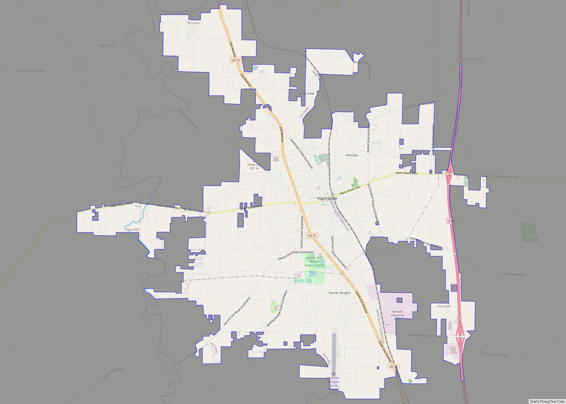
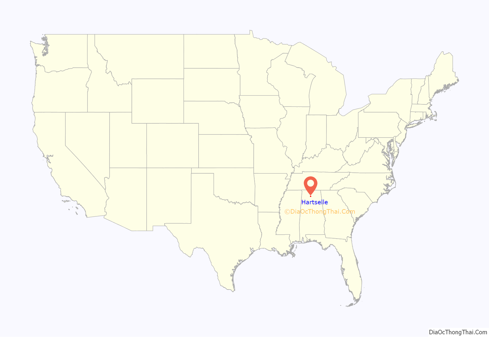
Hartselle is the second largest city in Morgan County, Alabama, United States, 13 miles (21 km) south of Decatur. It is part of the Decatur Metropolitan Area and the Huntsville-Decatur Combined Statistical Area.
As of the 2020 census, the population of the city was 15,455. Hartselle was founded in 1869 with the arrival of the South and North Alabama Railroad. It takes its name from George Hartselle, one of the railroad’s owners. The post office opened in 1873. It was formally incorporated on March 1, 1875. Most of the oldest buildings were destroyed by a disastrous fire in 1916.
| Name: | Hartselle city |
|---|---|
| LSAD Code: | 25 |
| LSAD Description: | city (suffix) |
| State: | Alabama |
| County: | Morgan County |
| Elevation: | 673 ft (205 m) |
| Total Area: | 16.73 sq mi (43.33 km²) |
| Land Area: | 16.64 sq mi (43.10 km²) |
| Water Area: | 0.09 sq mi (0.23 km²) 0.07% |
| Total Population: | 15,455 |
| Population Density: | 928.79/sq mi (358.62/km²) |
| ZIP code: | 35640 |
| Area code: | 256 |
| FIPS code: | 0133448 |
| GNISfeature ID: | 2403812 |
| Website: | www.hartselle.org |
Online Interactive Map
Click on ![]() to view map in "full screen" mode.
to view map in "full screen" mode.
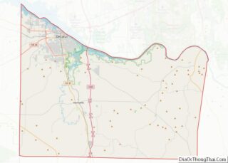
Hartselle location map. Where is Hartselle city?

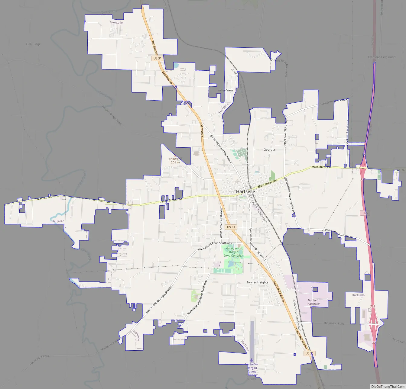
Hartselle Road Map
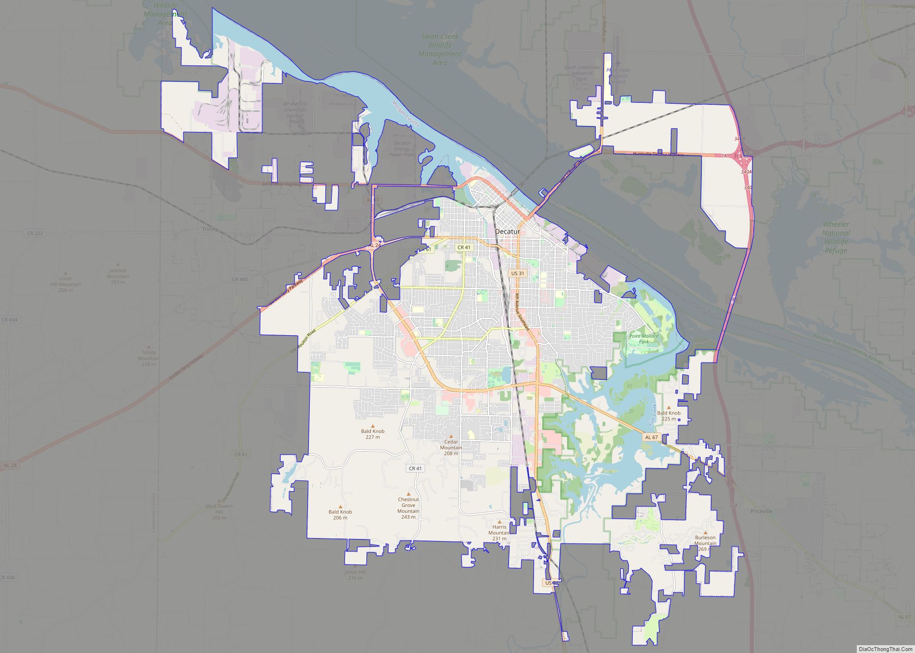
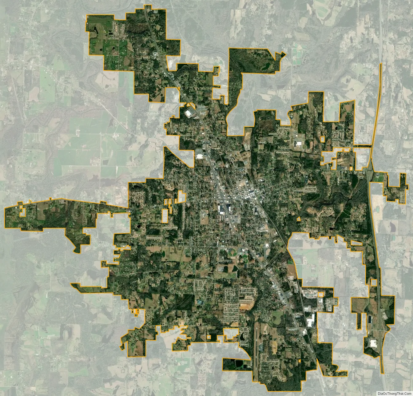
Hartselle city Satellite Map
Geography
Hartselle is located in western Morgan County at 34°26′25″N 86°56′25″W / 34.44028°N 86.94028°W / 34.44028; -86.94028Coordinates: 34°26′25″N 86°56′25″W / 34.44028°N 86.94028°W / 34.44028; -86.94028 (34.440383, -86.940385). It is in the north-central part of the state along Interstate 65, which runs from south to north through the easternmost parts of the city, with access from exits 325 and 328. Via I-65, Huntsville is 34 miles (55 km) northeast (via a connection to I-565), and Birmingham is 70 miles (110 km) south. U.S. Route 31 is the main north-south highway through the center of town, leading north 13 miles (21 km) to Decatur, the Morgan county seat, and south 20 miles (32 km) to Cullman. Alabama State Route 36, Main Street, is the main east-west route through downtown, leading east 23 miles (37 km) to Lacey’s Spring and west the same distance to Moulton.
According to the U.S. Census Bureau, the city of Hartselle has a total area of 16.7 square miles (43 km), of which 0.1 square miles (0.26 km), or 0.53%, are water.
See also
Map of Alabama State and its subdivision:- Autauga
- Baldwin
- Barbour
- Bibb
- Blount
- Bullock
- Butler
- Calhoun
- Chambers
- Cherokee
- Chilton
- Choctaw
- Clarke
- Clay
- Cleburne
- Coffee
- Colbert
- Conecuh
- Coosa
- Covington
- Crenshaw
- Cullman
- Dale
- Dallas
- De Kalb
- Elmore
- Escambia
- Etowah
- Fayette
- Franklin
- Geneva
- Greene
- Hale
- Henry
- Houston
- Jackson
- Jefferson
- Lamar
- Lauderdale
- Lawrence
- Lee
- Limestone
- Lowndes
- Macon
- Madison
- Marengo
- Marion
- Marshall
- Mobile
- Monroe
- Montgomery
- Morgan
- Perry
- Pickens
- Pike
- Randolph
- Russell
- Saint Clair
- Shelby
- Sumter
- Talladega
- Tallapoosa
- Tuscaloosa
- Walker
- Washington
- Wilcox
- Winston
- Alabama
- Alaska
- Arizona
- Arkansas
- California
- Colorado
- Connecticut
- Delaware
- District of Columbia
- Florida
- Georgia
- Hawaii
- Idaho
- Illinois
- Indiana
- Iowa
- Kansas
- Kentucky
- Louisiana
- Maine
- Maryland
- Massachusetts
- Michigan
- Minnesota
- Mississippi
- Missouri
- Montana
- Nebraska
- Nevada
- New Hampshire
- New Jersey
- New Mexico
- New York
- North Carolina
- North Dakota
- Ohio
- Oklahoma
- Oregon
- Pennsylvania
- Rhode Island
- South Carolina
- South Dakota
- Tennessee
- Texas
- Utah
- Vermont
- Virginia
- Washington
- West Virginia
- Wisconsin
- Wyoming