Tarrant is a city in Jefferson County, Alabama, bordering Birmingham to the north. At the 2020 census, the population was 6,124. It is home to the ABC Coke plant owned by the Drummond Company, “the largest single producer of foundry coke in the U.S.”.
| Name: | Tarrant city |
|---|---|
| LSAD Code: | 25 |
| LSAD Description: | city (suffix) |
| State: | Alabama |
| County: | Jefferson County |
| Elevation: | 545 ft (166 m) |
| Total Area: | 6.42 sq mi (16.63 km²) |
| Land Area: | 6.37 sq mi (16.50 km²) |
| Water Area: | 0.05 sq mi (0.14 km²) |
| Total Population: | 6,124 |
| Population Density: | 961.53/sq mi (371.24/km²) |
| ZIP code: | 35217 |
| Area code: | 205 & 659 |
| FIPS code: | 0174976 |
| GNISfeature ID: | 2405570 |
| Website: | http://www.cityoftarrant.com/ |
Online Interactive Map
Click on ![]() to view map in "full screen" mode.
to view map in "full screen" mode.
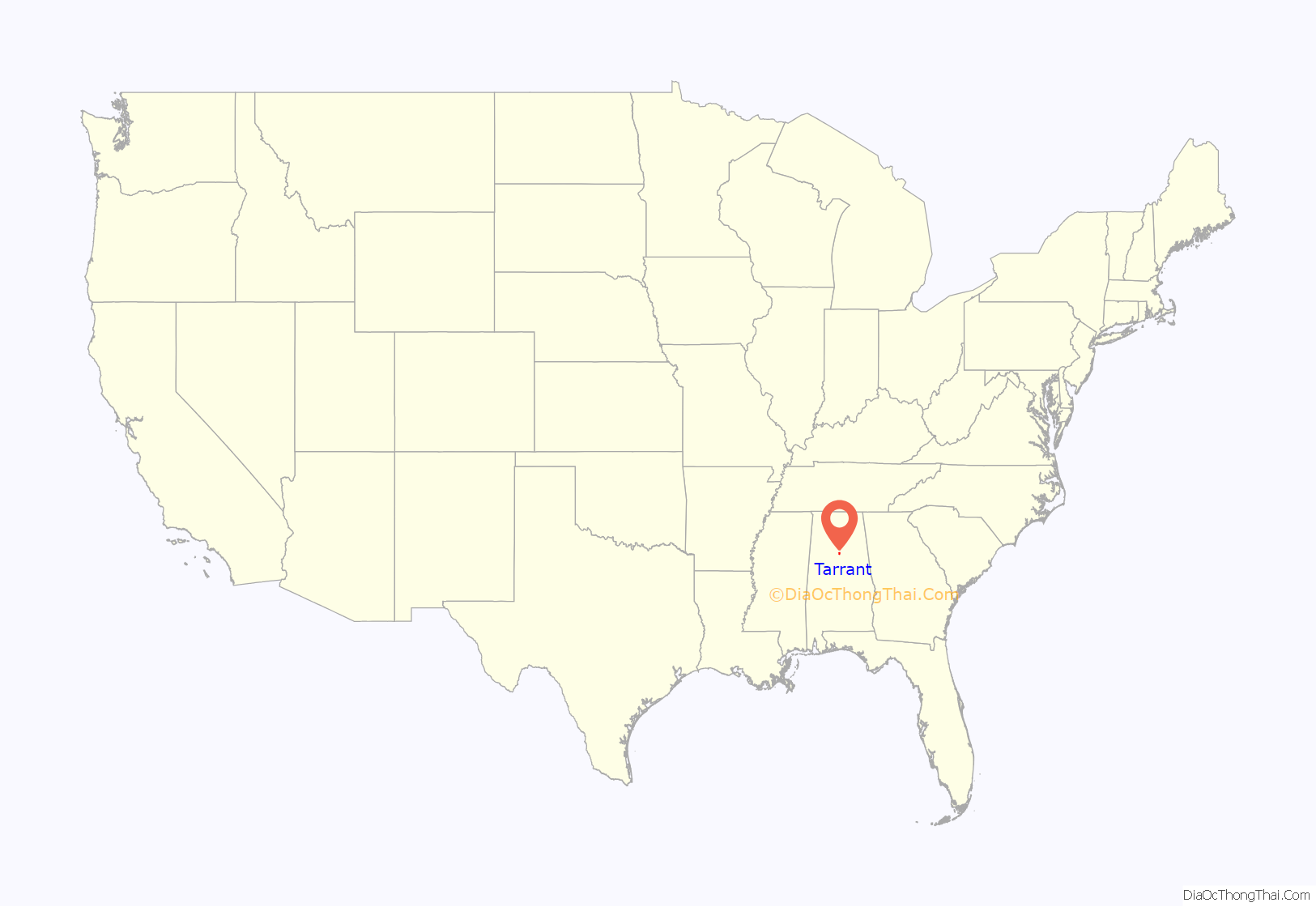
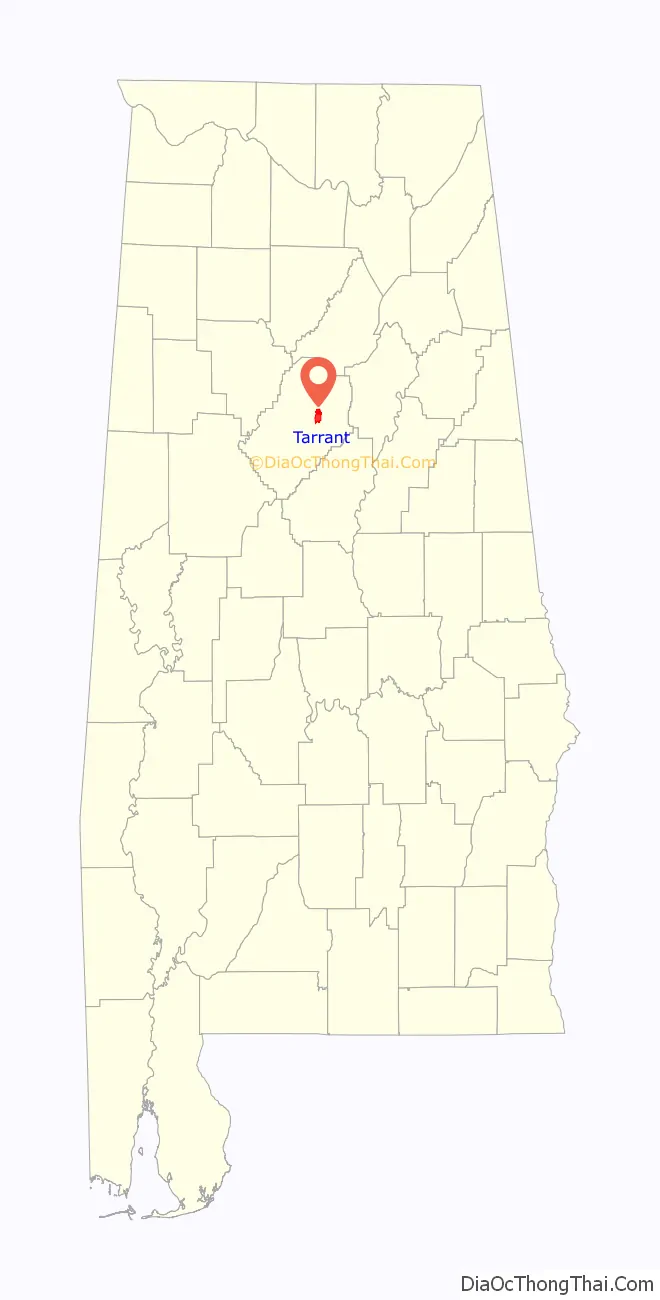
Tarrant location map. Where is Tarrant city?
History
A contest was held to name the new town in 1915. Several people suggested Tarrant in honor of Benjamin Tarrant, who had lived in this community most of his life. Other sources claim the city was named for Felix I. Tarrant, President of National Cast Iron Pipe Company, which built the first major industrial plant in the area in 1912. On August 17, 1918 Tarrant became an incorporated city. Its first mayor was George Washington Thomason. The first census was taken in 1920 and gave Tarrant City a population of 734. From its incorporation until the 1980s, the community went by Tarrant City until it was shortened to Tarrant by the 1990 U.S. Census.
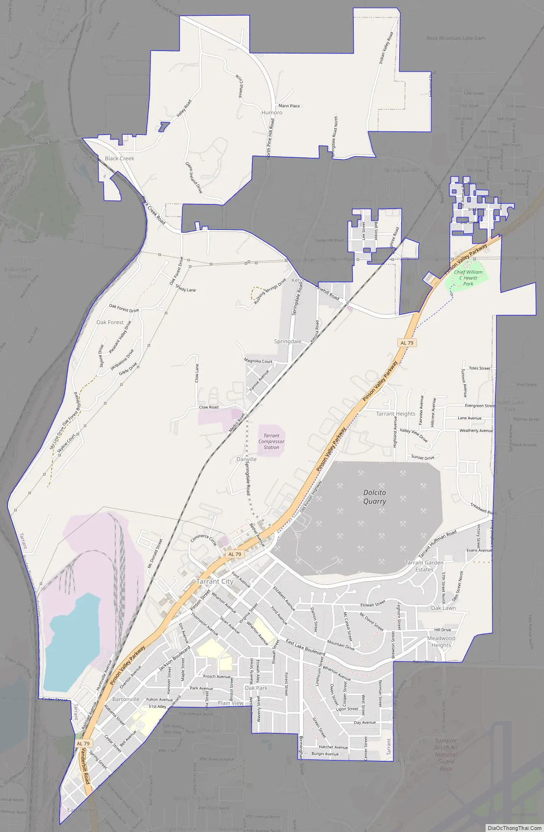
Tarrant Road Map
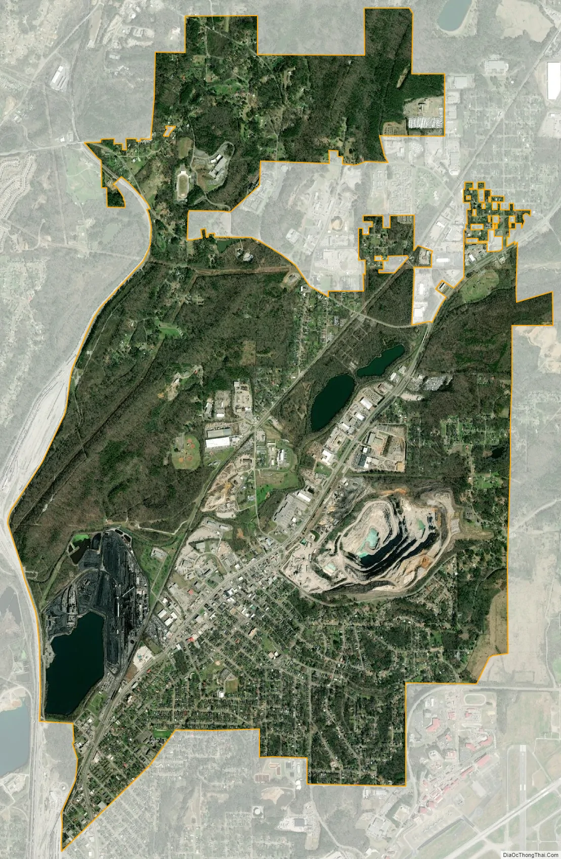
Tarrant city Satellite Map
Geography
Tarrant is located at 33°35′15″N 86°45′58″W / 33.58750°N 86.76611°W / 33.58750; -86.76611 (33.587546, -86.766219).
According to the U.S. Census Bureau, the city has a total area of 6.4 square miles (17 km), of which 6.4 square miles (17 km) is land and 0.04 square miles (0.10 km) (0.63%) is water.
See also
Map of Alabama State and its subdivision:- Autauga
- Baldwin
- Barbour
- Bibb
- Blount
- Bullock
- Butler
- Calhoun
- Chambers
- Cherokee
- Chilton
- Choctaw
- Clarke
- Clay
- Cleburne
- Coffee
- Colbert
- Conecuh
- Coosa
- Covington
- Crenshaw
- Cullman
- Dale
- Dallas
- De Kalb
- Elmore
- Escambia
- Etowah
- Fayette
- Franklin
- Geneva
- Greene
- Hale
- Henry
- Houston
- Jackson
- Jefferson
- Lamar
- Lauderdale
- Lawrence
- Lee
- Limestone
- Lowndes
- Macon
- Madison
- Marengo
- Marion
- Marshall
- Mobile
- Monroe
- Montgomery
- Morgan
- Perry
- Pickens
- Pike
- Randolph
- Russell
- Saint Clair
- Shelby
- Sumter
- Talladega
- Tallapoosa
- Tuscaloosa
- Walker
- Washington
- Wilcox
- Winston
- Alabama
- Alaska
- Arizona
- Arkansas
- California
- Colorado
- Connecticut
- Delaware
- District of Columbia
- Florida
- Georgia
- Hawaii
- Idaho
- Illinois
- Indiana
- Iowa
- Kansas
- Kentucky
- Louisiana
- Maine
- Maryland
- Massachusetts
- Michigan
- Minnesota
- Mississippi
- Missouri
- Montana
- Nebraska
- Nevada
- New Hampshire
- New Jersey
- New Mexico
- New York
- North Carolina
- North Dakota
- Ohio
- Oklahoma
- Oregon
- Pennsylvania
- Rhode Island
- South Carolina
- South Dakota
- Tennessee
- Texas
- Utah
- Vermont
- Virginia
- Washington
- West Virginia
- Wisconsin
- Wyoming


