Union Grove is a town in Marshall County, Alabama, United States, and is included in the Huntsville-Decatur Combined Statistical Area. As of the 2020 census, the population of the town was 67, down from 77 at the 2010 census.
In the Civil War the Union troops camped there for some time after passing through Parches Cove. It became known thereafter as Union Grove.
| Name: | Union Grove town |
|---|---|
| LSAD Code: | 43 |
| LSAD Description: | town (suffix) |
| State: | Alabama |
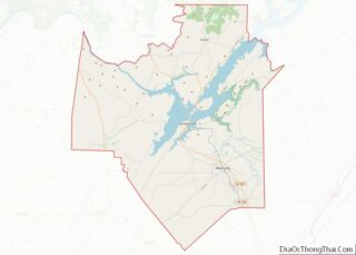
| County: | Marshall County |
| Elevation: | 1,027 ft (313 m) |
| Total Area: | 0.57 sq mi (1.47 km²) |
| Land Area: | 0.56 sq mi (1.44 km²) |
| Water Area: | 0.01 sq mi (0.03 km²) |
| Total Population: | 67 |
| Population Density: | 120.50/sq mi (46.51/km²) |
| ZIP code: | 35175 |
| Area code: | 256 |
| FIPS code: | 0177784 |
| GNISfeature ID: | 2406778 |
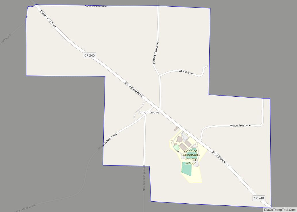
Online Interactive Map
Click on ![]() to view map in "full screen" mode.
to view map in "full screen" mode.
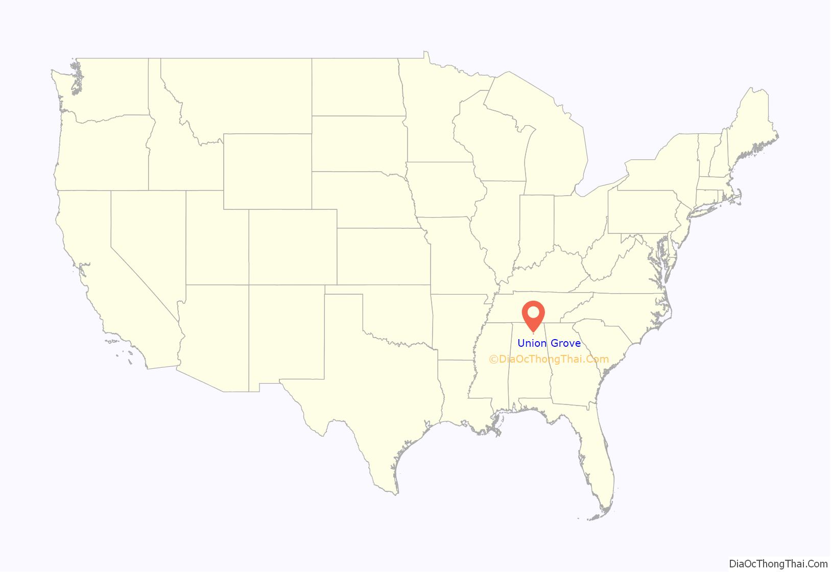
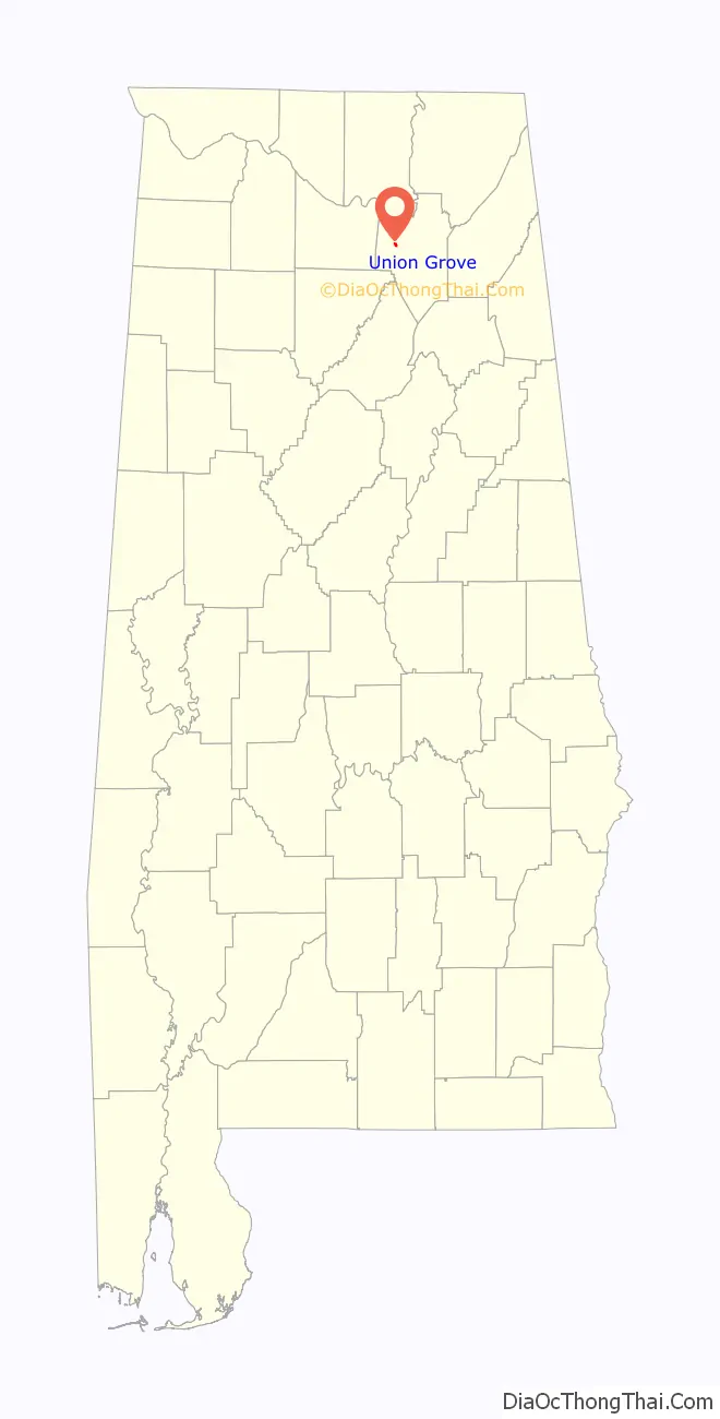
Union Grove location map. Where is Union Grove town?
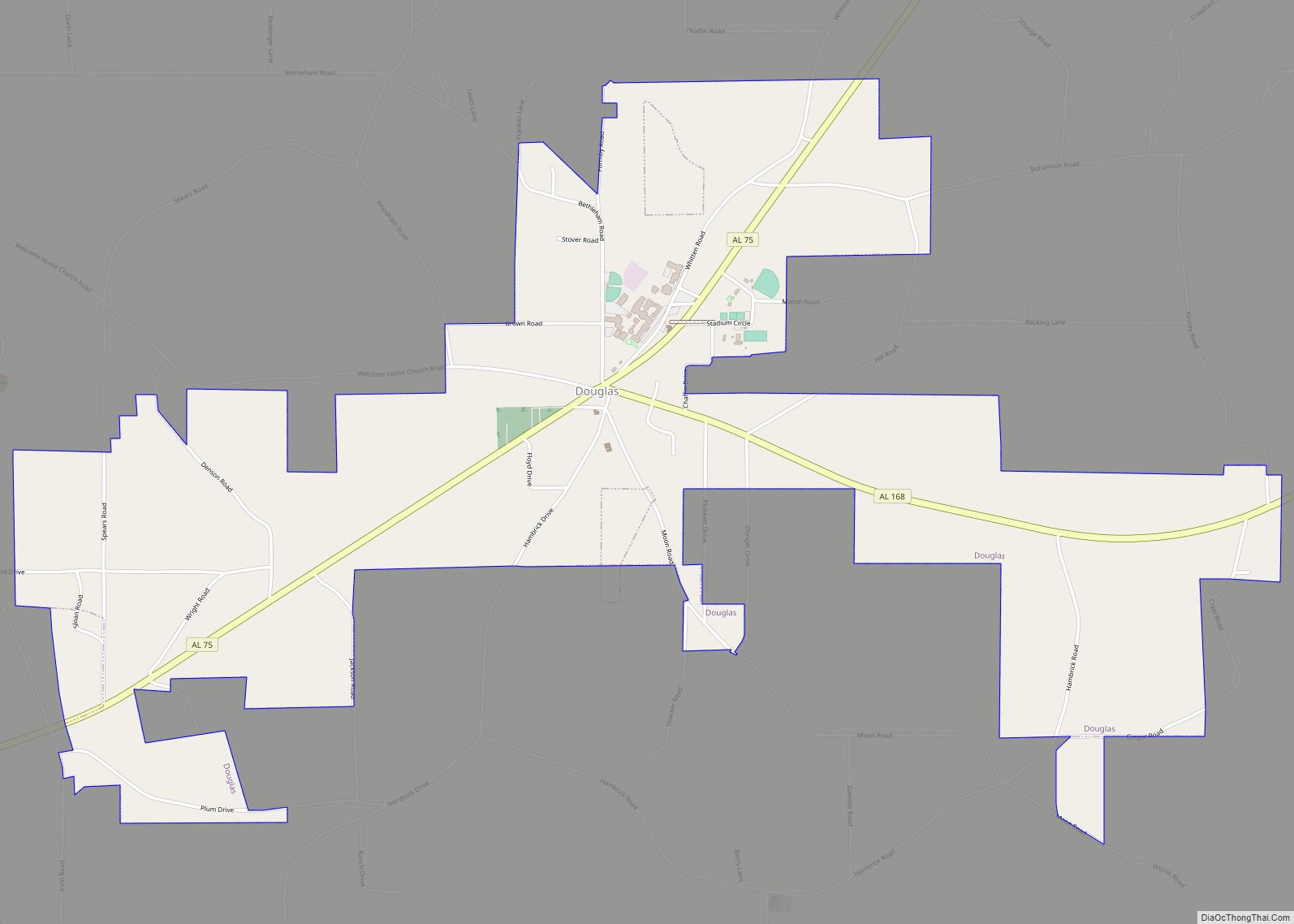
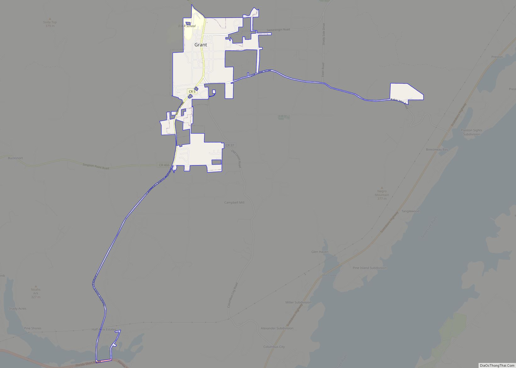
Union Grove Road Map
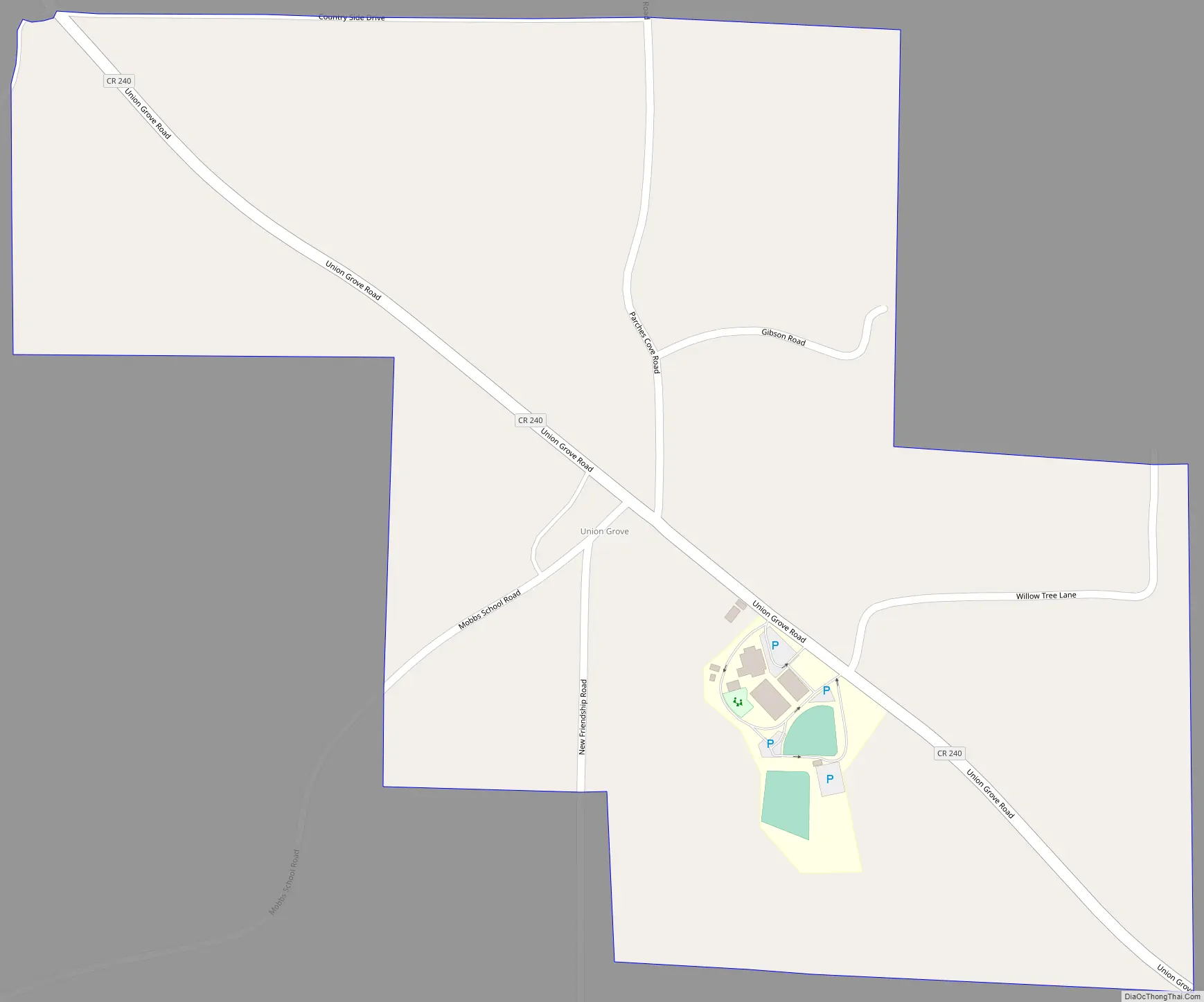
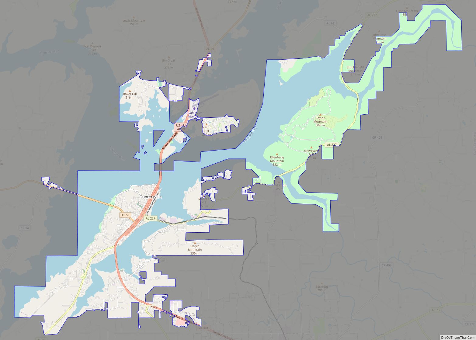
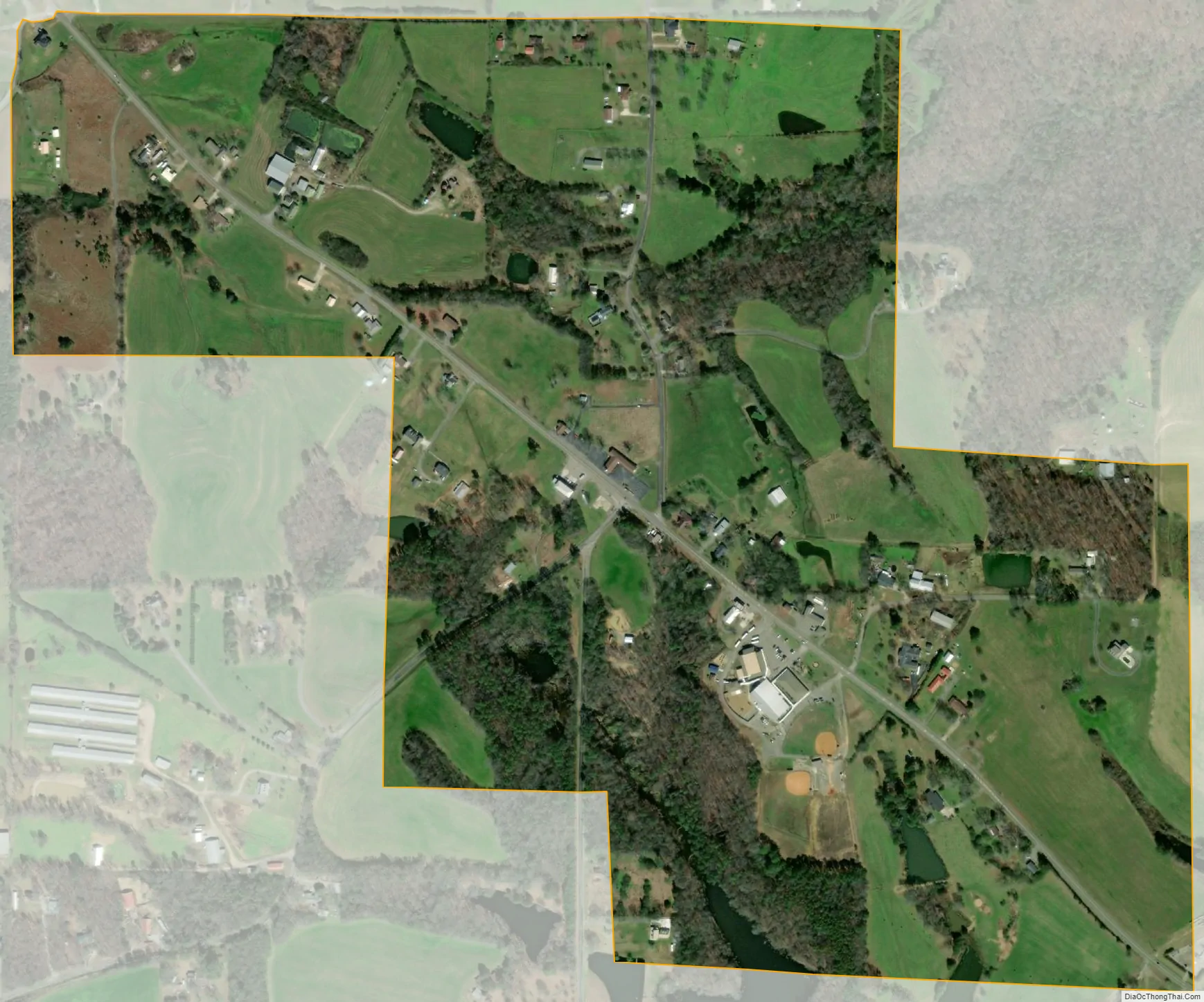
Union Grove city Satellite Map
Geography
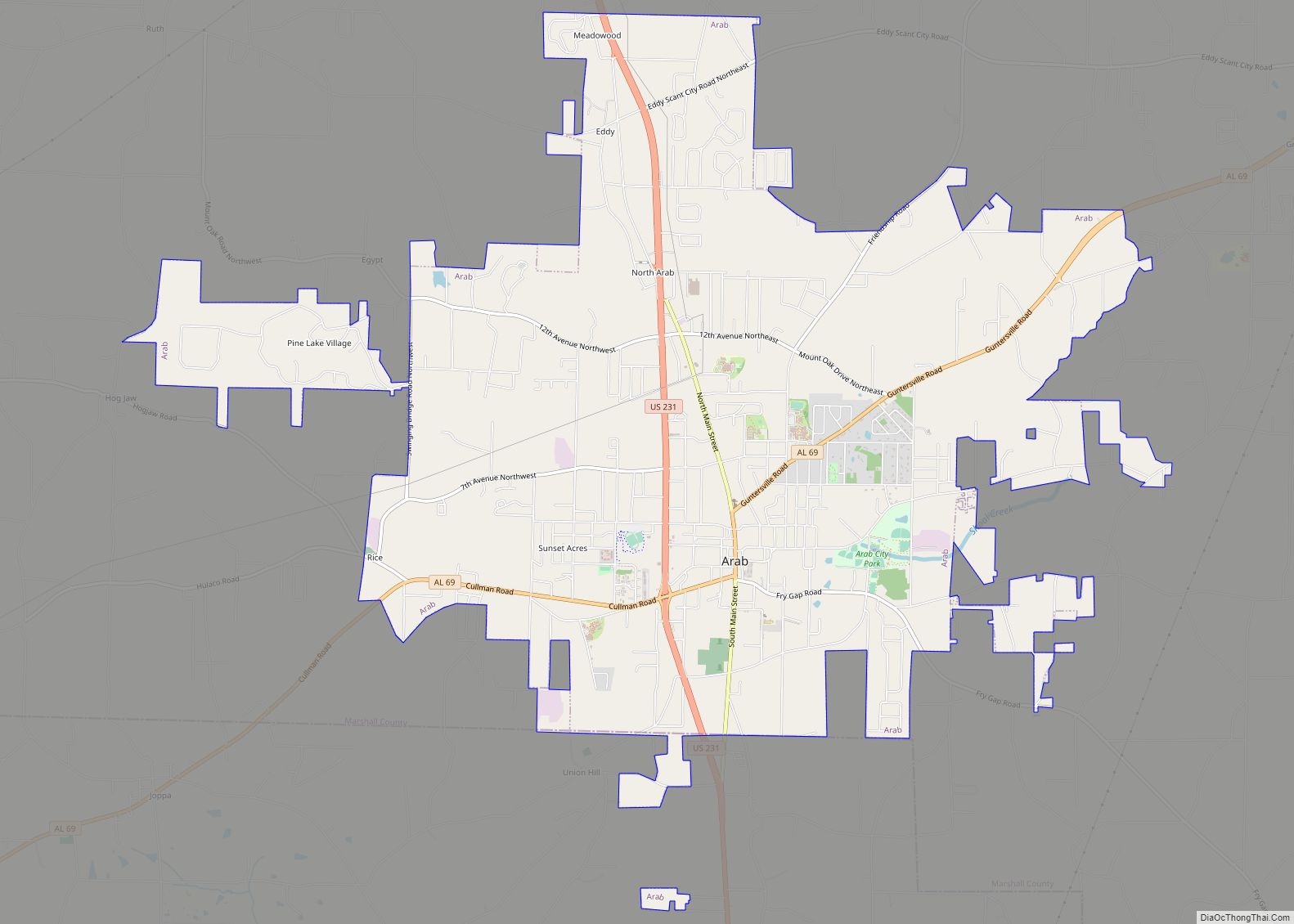
Union Grove is located in western Marshall County at 34°24′0″N 86°26′46″W / 34.40000°N 86.44611°W / 34.40000; -86.44611 (34.400088, -86.446049). It is 7 miles (11 km) northeast of Arab and 5 miles (8 km) southwest of Guntersville Dam on the Tennessee River. Union Grove sits at an elevation of 1,040 feet (320 m) above sea level on the relatively flat top of Brindley Mountain, near the southwest end of the Appalachian Plateau. Electricity service in Union Grove is provided through Arab Electric Cooperative, which comes through the Tennessee Valley Authority.
According to the U.S. Census Bureau, the town has a total area of 0.6 square miles (1.6 km), of which 0.01 square miles (0.03 km), or 1.77%, are water.
See also
Map of Alabama State and its subdivision:- Autauga
- Baldwin
- Barbour
- Bibb
- Blount
- Bullock
- Butler
- Calhoun
- Chambers
- Cherokee
- Chilton
- Choctaw
- Clarke
- Clay
- Cleburne
- Coffee
- Colbert
- Conecuh
- Coosa
- Covington
- Crenshaw
- Cullman
- Dale
- Dallas
- De Kalb
- Elmore
- Escambia
- Etowah
- Fayette
- Franklin
- Geneva
- Greene
- Hale
- Henry
- Houston
- Jackson
- Jefferson
- Lamar
- Lauderdale
- Lawrence
- Lee
- Limestone
- Lowndes
- Macon
- Madison
- Marengo
- Marion
- Marshall
- Mobile
- Monroe
- Montgomery
- Morgan
- Perry
- Pickens
- Pike
- Randolph
- Russell
- Saint Clair
- Shelby
- Sumter
- Talladega
- Tallapoosa
- Tuscaloosa
- Walker
- Washington
- Wilcox
- Winston
- Alabama
- Alaska
- Arizona
- Arkansas
- California
- Colorado
- Connecticut
- Delaware
- District of Columbia
- Florida
- Georgia
- Hawaii
- Idaho
- Illinois
- Indiana
- Iowa
- Kansas
- Kentucky
- Louisiana
- Maine
- Maryland
- Massachusetts
- Michigan
- Minnesota
- Mississippi
- Missouri
- Montana
- Nebraska
- Nevada
- New Hampshire
- New Jersey
- New Mexico
- New York
- North Carolina
- North Dakota
- Ohio
- Oklahoma
- Oregon
- Pennsylvania
- Rhode Island
- South Carolina
- South Dakota
- Tennessee
- Texas
- Utah
- Vermont
- Virginia
- Washington
- West Virginia
- Wisconsin
- Wyoming