Waldo is a town in Talladega County, Alabama, United States. It incorporated in 1972. At the 2020 census, the population was 258.
| Name: | Waldo town |
|---|---|
| LSAD Code: | 43 |
| LSAD Description: | town (suffix) |
| State: | Alabama |
| County: | Talladega County |
| Elevation: | 705 ft (215 m) |
| Total Area: | 2.86 sq mi (7.42 km²) |
| Land Area: | 2.81 sq mi (7.28 km²) |
| Water Area: | 0.05 sq mi (0.14 km²) |
| Total Population: | 258 |
| Population Density: | 91.78/sq mi (35.44/km²) |
| FIPS code: | 0179488 |
| GNISfeature ID: | 0160790 |
Online Interactive Map
Click on ![]() to view map in "full screen" mode.
to view map in "full screen" mode.
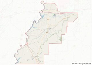
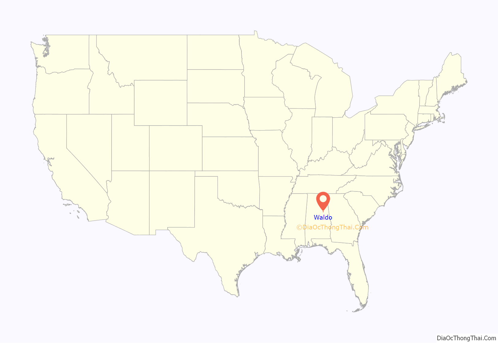
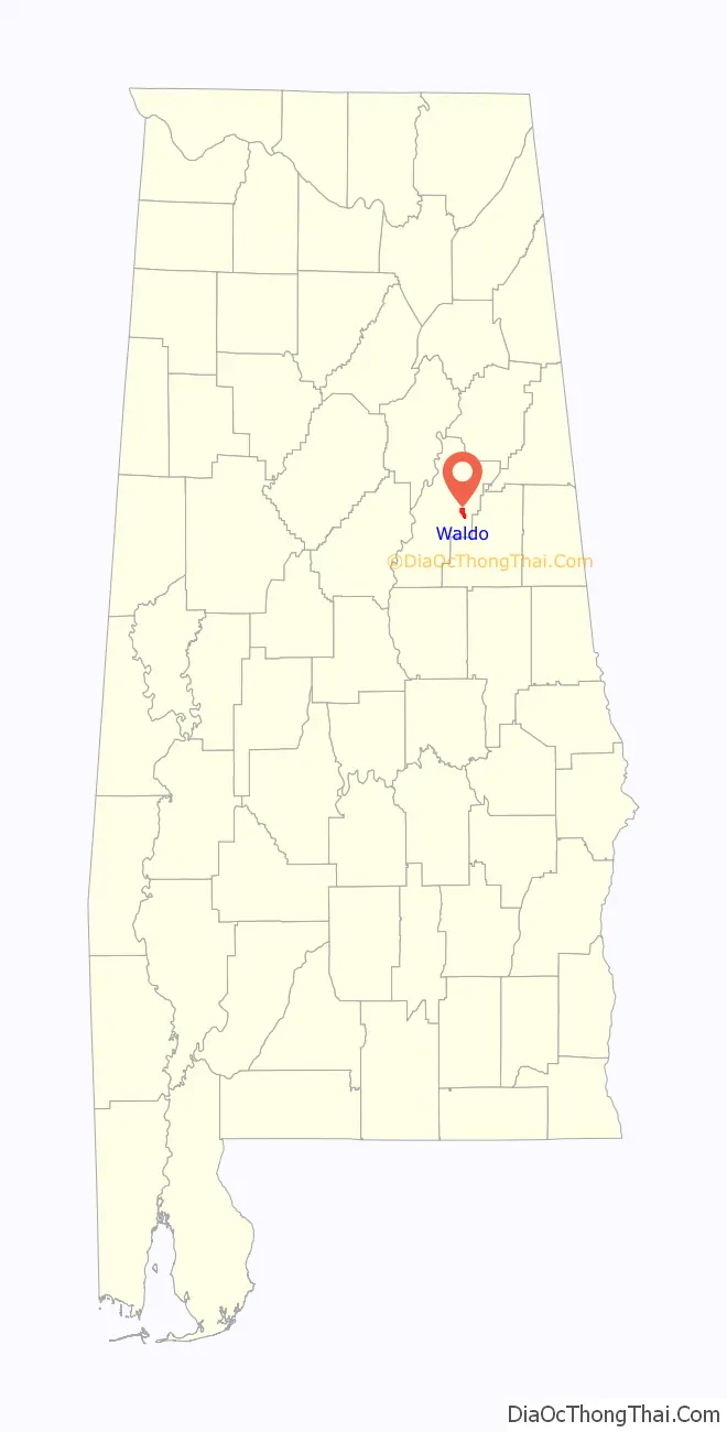
Waldo location map. Where is Waldo town?
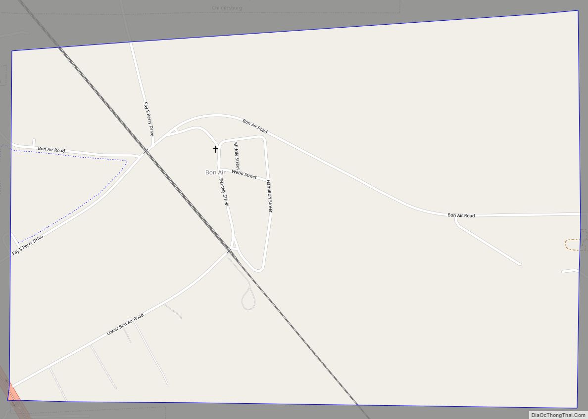
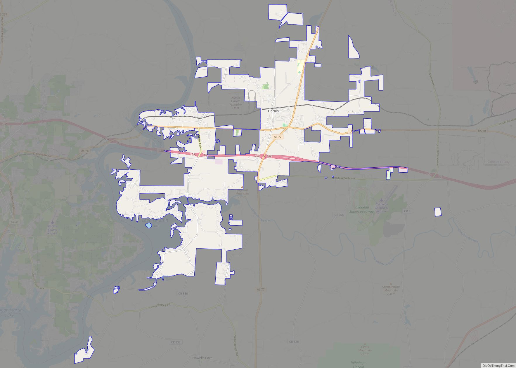
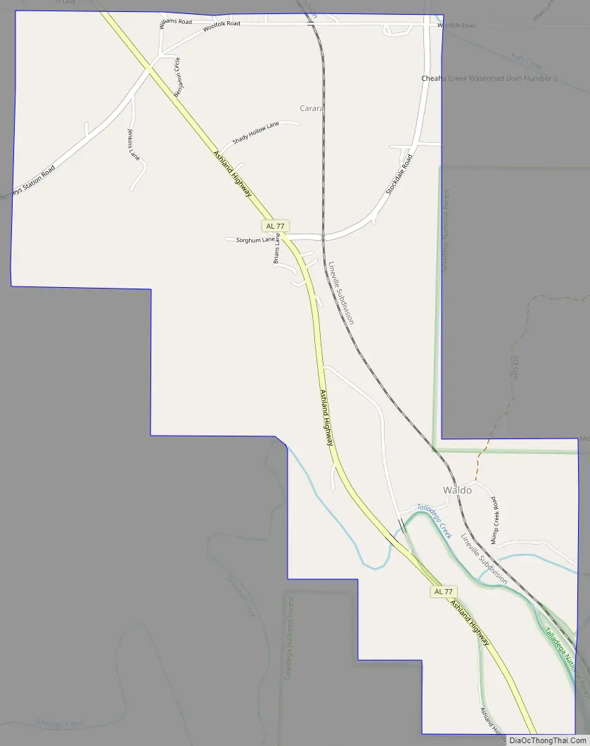
Waldo Road Map
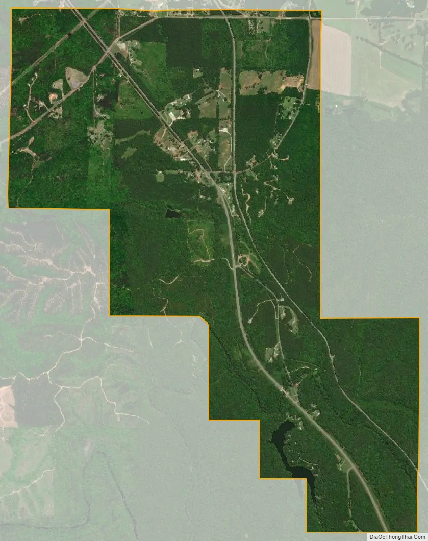
Waldo city Satellite Map
Geography
Waldo is located at 33°23′37″N 86°1′58″W / 33.39361°N 86.03278°W / 33.39361; -86.03278 (33.393674, -86.032763).
The town is located along Alabama State Route 77 in the east central part of the state. AL-77 leads north 7 mi (11 km) to Talladega, the county seat, and southeast 18 mi (29 km) to Ashland.
According to the U.S. Census Bureau, the town has a total area of 2.9 square miles (7.4 km), of which 2.8 square miles (7.3 km) is land and 0.039 square miles (0.1 km), or 1.82%, is water.
See also
Map of Alabama State and its subdivision:- Autauga
- Baldwin
- Barbour
- Bibb
- Blount
- Bullock
- Butler
- Calhoun
- Chambers
- Cherokee
- Chilton
- Choctaw
- Clarke
- Clay
- Cleburne
- Coffee
- Colbert
- Conecuh
- Coosa
- Covington
- Crenshaw
- Cullman
- Dale
- Dallas
- De Kalb
- Elmore
- Escambia
- Etowah
- Fayette
- Franklin
- Geneva
- Greene
- Hale
- Henry
- Houston
- Jackson
- Jefferson
- Lamar
- Lauderdale
- Lawrence
- Lee
- Limestone
- Lowndes
- Macon
- Madison
- Marengo
- Marion
- Marshall
- Mobile
- Monroe
- Montgomery
- Morgan
- Perry
- Pickens
- Pike
- Randolph
- Russell
- Saint Clair
- Shelby
- Sumter
- Talladega
- Tallapoosa
- Tuscaloosa
- Walker
- Washington
- Wilcox
- Winston
- Alabama
- Alaska
- Arizona
- Arkansas
- California
- Colorado
- Connecticut
- Delaware
- District of Columbia
- Florida
- Georgia
- Hawaii
- Idaho
- Illinois
- Indiana
- Iowa
- Kansas
- Kentucky
- Louisiana
- Maine
- Maryland
- Massachusetts
- Michigan
- Minnesota
- Mississippi
- Missouri
- Montana
- Nebraska
- Nevada
- New Hampshire
- New Jersey
- New Mexico
- New York
- North Carolina
- North Dakota
- Ohio
- Oklahoma
- Oregon
- Pennsylvania
- Rhode Island
- South Carolina
- South Dakota
- Tennessee
- Texas
- Utah
- Vermont
- Virginia
- Washington
- West Virginia
- Wisconsin
- Wyoming