Warrior is a city in Jefferson and Blount counties in the State of Alabama. At the 2020 census, the population was 3,224. It is a northern suburb of Birmingham.
| Name: | Warrior city |
|---|---|
| LSAD Code: | 25 |
| LSAD Description: | city (suffix) |
| State: | Alabama |
| County: | Jefferson County |
| Elevation: | 564 ft (172 m) |
| Total Area: | 9.78 sq mi (25.32 km²) |
| Land Area: | 9.78 sq mi (25.32 km²) |
| Water Area: | 0.00 sq mi (0.00 km²) |
| Total Population: | 3,224 |
| Population Density: | 329.75/sq mi (127.31/km²) |
| ZIP code: | 35180 |
| Area code: | 205 & 659 |
| FIPS code: | 0179944 |
| GNISfeature ID: | 2405676 |
| Website: | cityofwarrior.ning.com |
Online Interactive Map
Click on ![]() to view map in "full screen" mode.
to view map in "full screen" mode.
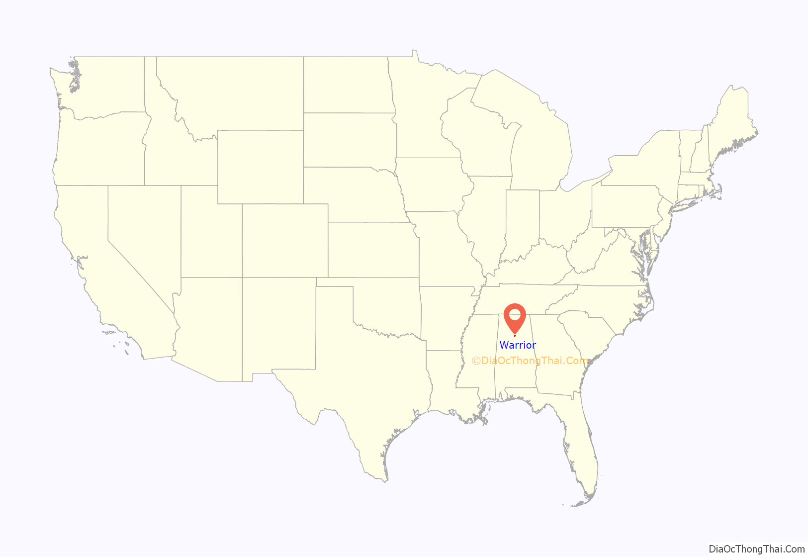
Warrior location map. Where is Warrior city?
History
Warrior was incorporated in either 1889 or 1899, though most records cite the 1889 date. The city derives its name from the nearby Black Warrior River.
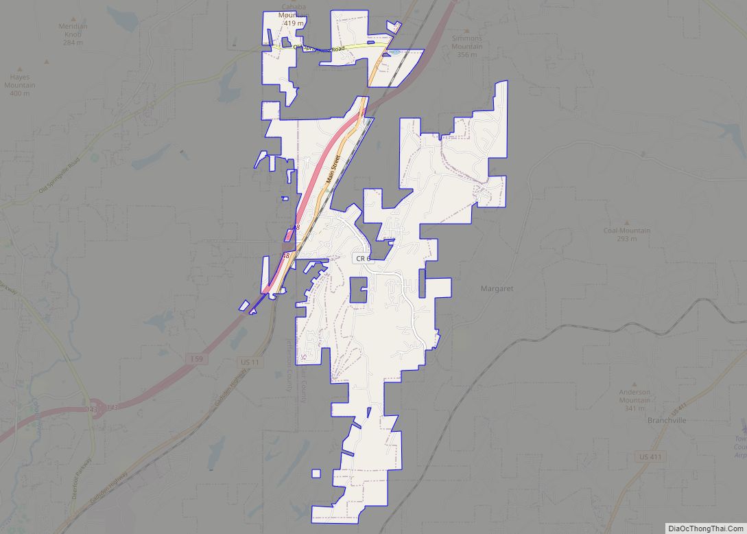
Warrior Road Map
Warrior city Satellite Map
Geography
Warrior is the northernmost city in Jefferson County, with outlying parts of the city in Blount County. It is traversed by I-65 and U.S. Highway 31.
Warrior is located at 33°48’48.985″ North, 86°48’41.238″ West (33.813607, -86.811455).
According to the U.S. Census Bureau, the city has a total area of 9.8 square miles (25.3 km), all land.
Warrior is in the Central time zone. The elevation at the center of town is 564 feet (172 m), though it ranges from over 620 feet (190 m) north of the center to less than 300 feet (91 m) along the Locust Fork of the Black Warrior River, which forms the southern boundary of the city.
See also
Map of Alabama State and its subdivision:- Autauga
- Baldwin
- Barbour
- Bibb
- Blount
- Bullock
- Butler
- Calhoun
- Chambers
- Cherokee
- Chilton
- Choctaw
- Clarke
- Clay
- Cleburne
- Coffee
- Colbert
- Conecuh
- Coosa
- Covington
- Crenshaw
- Cullman
- Dale
- Dallas
- De Kalb
- Elmore
- Escambia
- Etowah
- Fayette
- Franklin
- Geneva
- Greene
- Hale
- Henry
- Houston
- Jackson
- Jefferson
- Lamar
- Lauderdale
- Lawrence
- Lee
- Limestone
- Lowndes
- Macon
- Madison
- Marengo
- Marion
- Marshall
- Mobile
- Monroe
- Montgomery
- Morgan
- Perry
- Pickens
- Pike
- Randolph
- Russell
- Saint Clair
- Shelby
- Sumter
- Talladega
- Tallapoosa
- Tuscaloosa
- Walker
- Washington
- Wilcox
- Winston
- Alabama
- Alaska
- Arizona
- Arkansas
- California
- Colorado
- Connecticut
- Delaware
- District of Columbia
- Florida
- Georgia
- Hawaii
- Idaho
- Illinois
- Indiana
- Iowa
- Kansas
- Kentucky
- Louisiana
- Maine
- Maryland
- Massachusetts
- Michigan
- Minnesota
- Mississippi
- Missouri
- Montana
- Nebraska
- Nevada
- New Hampshire
- New Jersey
- New Mexico
- New York
- North Carolina
- North Dakota
- Ohio
- Oklahoma
- Oregon
- Pennsylvania
- Rhode Island
- South Carolina
- South Dakota
- Tennessee
- Texas
- Utah
- Vermont
- Virginia
- Washington
- West Virginia
- Wisconsin
- Wyoming
