Westover is a city in Shelby County, Alabama, United States. The city is part of the Birmingham Metropolitan Statistical Area. The city was officially incorporated on January 31, 2001 although it was established in 1901 and had a population of 961 when it was incorporated in 2001.
| Name: | Westover town |
|---|---|
| LSAD Code: | 43 |
| LSAD Description: | town (suffix) |
| State: | Alabama |
| County: | Shelby County |
| Elevation: | 482 ft (147 m) |
| Land Area: | 19.73 sq mi (51.09 km²) |
| Water Area: | 0.15 sq mi (0.38 km²) |
| Population Density: | 89.52/sq mi (34.56/km²) |
| ZIP code: | 35147; 35185; 35043; 35186; 35051; 35078 |
| Area code: | 205, 659 |
| FIPS code: | 0181504 |
| GNISfeature ID: | 157244 |
| Website: | http://www.westoveralabama.org/ |
Online Interactive Map
Click on ![]() to view map in "full screen" mode.
to view map in "full screen" mode.
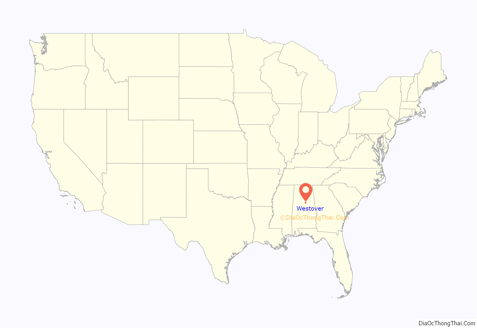
Westover location map. Where is Westover town?
History
One structure in Westover, the Archer House, is listed on the Alabama Register of Landmarks and Heritage.
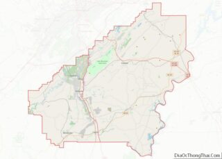
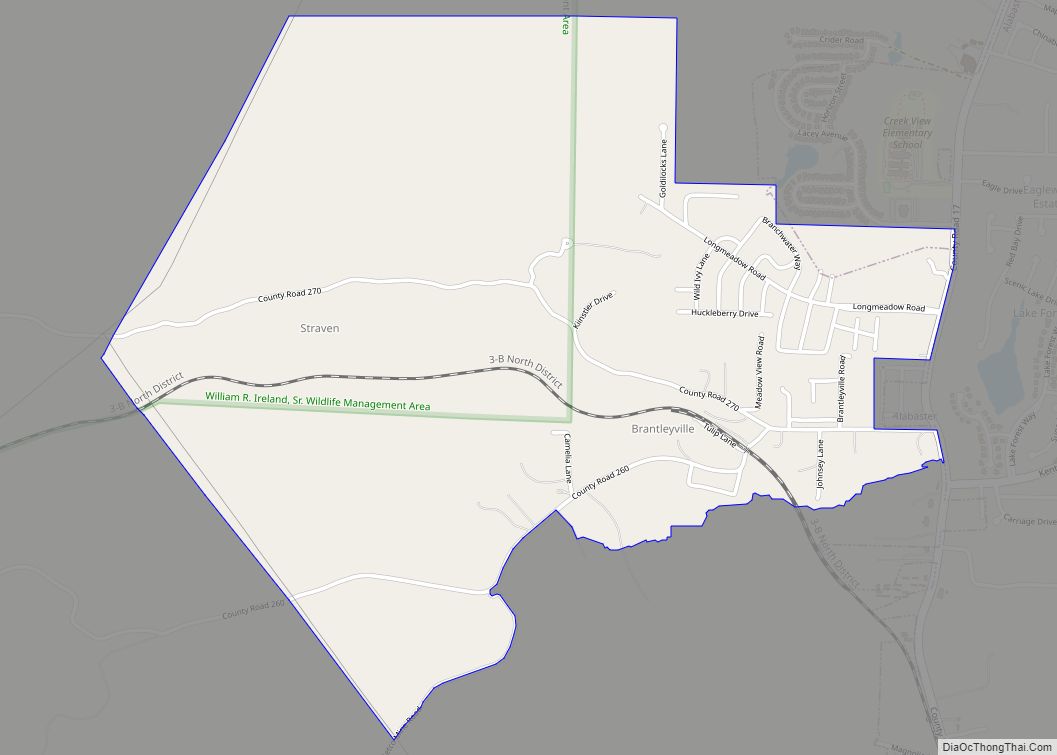
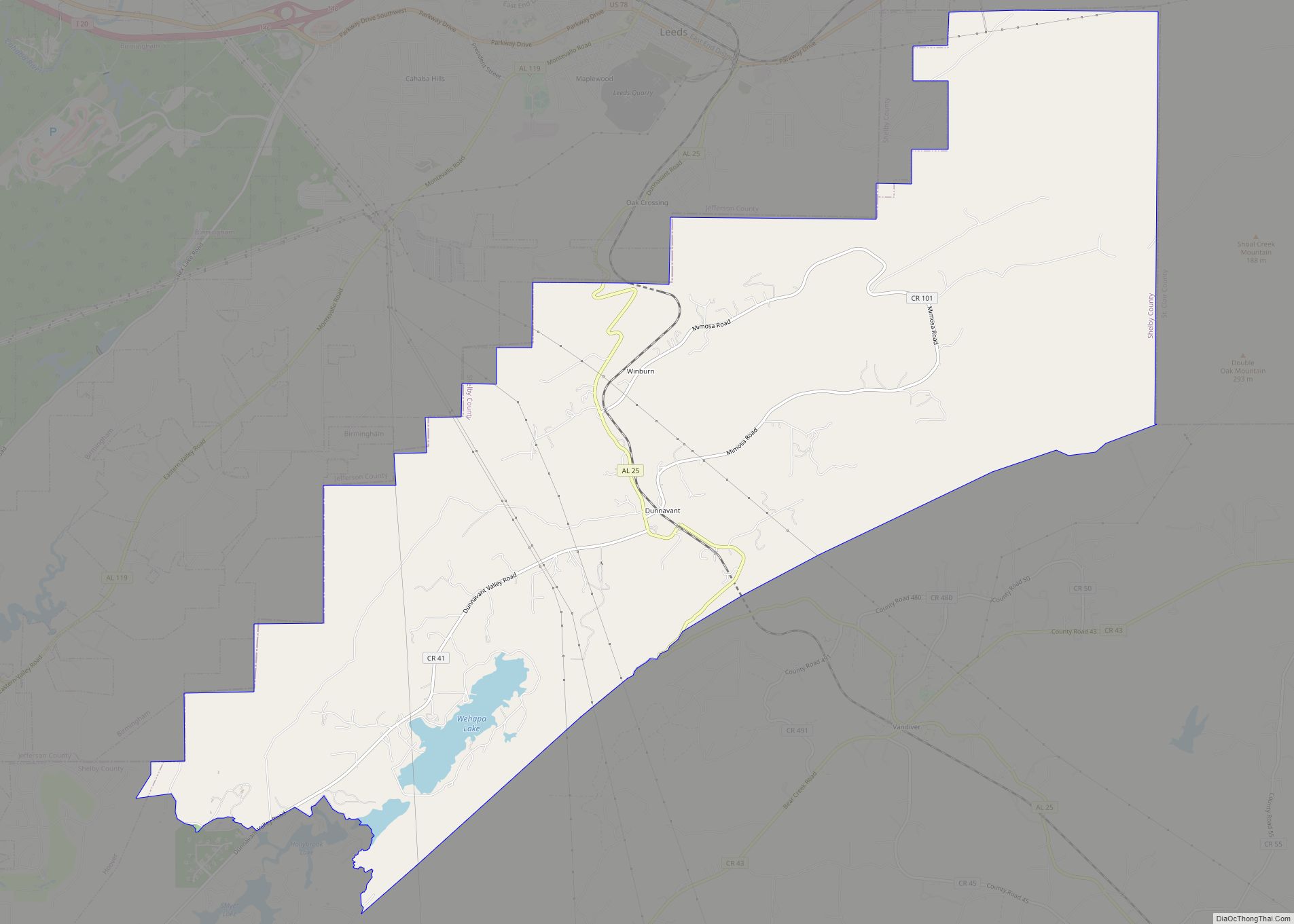
Westover Road Map
Westover city Satellite Map
Geography
Westover is located at 33°22′42″N 86°32′13″W / 33.378305°N 86.536849°W / 33.378305; -86.536849.
According to the U.S. Census Bureau, the city has a total area of 18.268 square miles (47.31 km), of which 18.14 square miles (47.0 km) is land and 0.128 square miles (0.33 km) is water.
Westover is located along the busy U.S. Highway 280 corridor in the northeastern quadrant of Shelby County. Via US 280, downtown Birmingham is 26 mi (42 km) northwest, and Harpersville is 5 mi (8 km) east. The Westover City Fire Department is rated a 3/3X by ISO.
Pine Mountain Preserve, the largest development of its kind ever built in the State of Alabama, is an Eddleman Properties development which has been announced. It is on 6,500 acres of property in the City of Westover including a “Town Center”. The “Town Center” includes parks, City development sites (City Hall, Library, Fire Stations, etc.), multiple school sites and commercial.
See also
Map of Alabama State and its subdivision:- Autauga
- Baldwin
- Barbour
- Bibb
- Blount
- Bullock
- Butler
- Calhoun
- Chambers
- Cherokee
- Chilton
- Choctaw
- Clarke
- Clay
- Cleburne
- Coffee
- Colbert
- Conecuh
- Coosa
- Covington
- Crenshaw
- Cullman
- Dale
- Dallas
- De Kalb
- Elmore
- Escambia
- Etowah
- Fayette
- Franklin
- Geneva
- Greene
- Hale
- Henry
- Houston
- Jackson
- Jefferson
- Lamar
- Lauderdale
- Lawrence
- Lee
- Limestone
- Lowndes
- Macon
- Madison
- Marengo
- Marion
- Marshall
- Mobile
- Monroe
- Montgomery
- Morgan
- Perry
- Pickens
- Pike
- Randolph
- Russell
- Saint Clair
- Shelby
- Sumter
- Talladega
- Tallapoosa
- Tuscaloosa
- Walker
- Washington
- Wilcox
- Winston
- Alabama
- Alaska
- Arizona
- Arkansas
- California
- Colorado
- Connecticut
- Delaware
- District of Columbia
- Florida
- Georgia
- Hawaii
- Idaho
- Illinois
- Indiana
- Iowa
- Kansas
- Kentucky
- Louisiana
- Maine
- Maryland
- Massachusetts
- Michigan
- Minnesota
- Mississippi
- Missouri
- Montana
- Nebraska
- Nevada
- New Hampshire
- New Jersey
- New Mexico
- New York
- North Carolina
- North Dakota
- Ohio
- Oklahoma
- Oregon
- Pennsylvania
- Rhode Island
- South Carolina
- South Dakota
- Tennessee
- Texas
- Utah
- Vermont
- Virginia
- Washington
- West Virginia
- Wisconsin
- Wyoming
