Wilton, also known by the previous names of Birmingham Junction, Bismark, and Catoosa, is a town in Shelby County, Alabama, United States. It was incorporated in 1918. This town is part of the Birmingham–Hoover–Cullman Combined Statistical Area. At the 2010 census the population was 687, up from 580 in 2000.
| Name: | Wilton town |
|---|---|
| LSAD Code: | 43 |
| LSAD Description: | town (suffix) |
| State: | Alabama |
| County: | Shelby County |
| Elevation: | 397 ft (121 m) |
| Total Area: | 0.96 sq mi (2.49 km²) |
| Land Area: | 0.96 sq mi (2.48 km²) |
| Water Area: | 0.01 sq mi (0.01 km²) |
| Total Population: | 587 |
| Population Density: | 613.38/sq mi (236.71/km²) |
| ZIP code: | 35187 |
| Area code: | 205, 659 |
| FIPS code: | 0182872 |
| GNISfeature ID: | 0154006 |
Online Interactive Map
Click on ![]() to view map in "full screen" mode.
to view map in "full screen" mode.
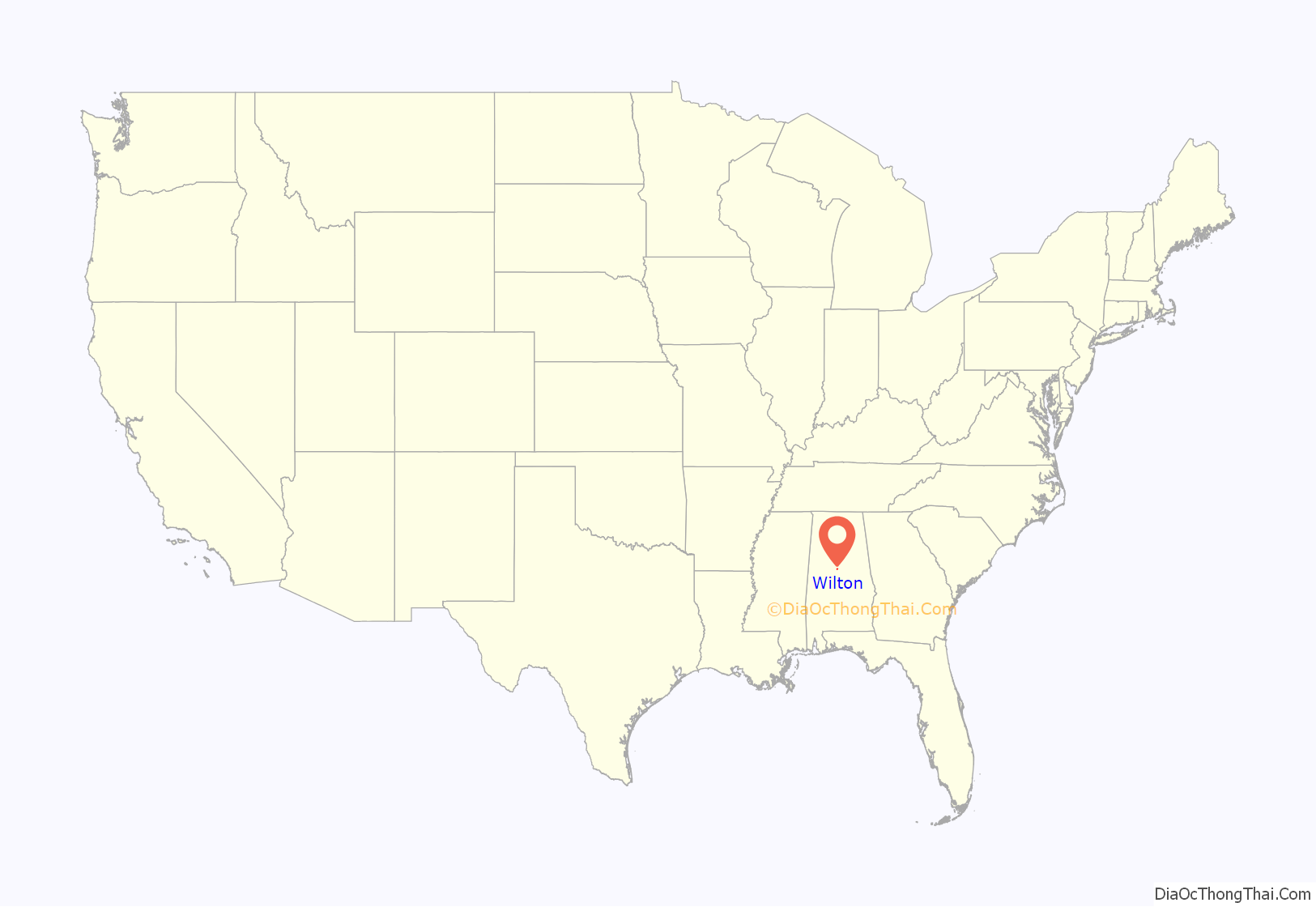
Wilton location map. Where is Wilton town?
History
Wilton was originally known as Birmingham Junction, in reference to when the Southern Railroad was joined here with the Alabama and Tennessee River Railroad. It was next known as Bismark, in honor of Otto von Bismarck. Next, the community was known as Catoosa, in honor of Catoosa County, Georgia. Finally, the town went by Wilton, in honor of Wilton, England. One structure in Wilton, the Woods-Cleveland-Cooling House, located on the Head-Cleveland farm, is listed on the Alabama Register of Landmarks and Heritage.
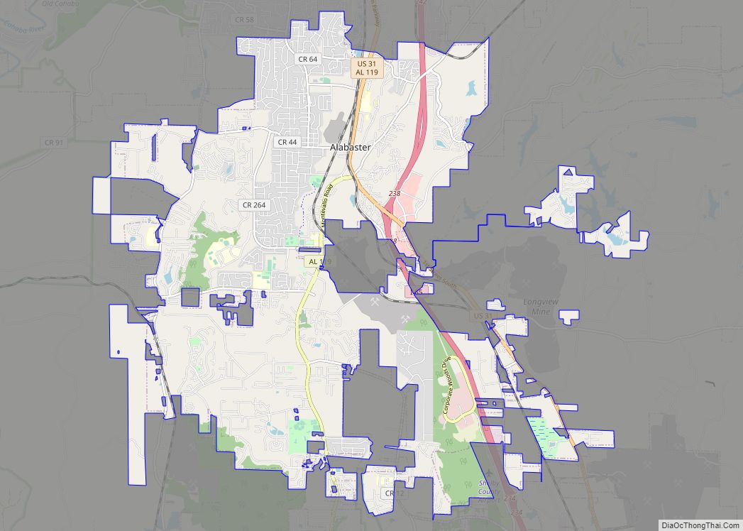
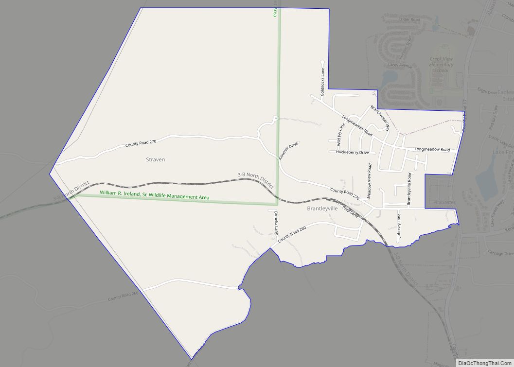
Wilton Road Map
Wilton city Satellite Map
Geography
Wilton is located at 33°4′54″N 86°52′46″W / 33.08167°N 86.87944°W / 33.08167; -86.87944 (33.081799, -86.879458).
According to the U.S. Census Bureau, the town has a total area of 0.8 square miles (2.1 km), all land.
See also
Map of Alabama State and its subdivision:- Autauga
- Baldwin
- Barbour
- Bibb
- Blount
- Bullock
- Butler
- Calhoun
- Chambers
- Cherokee
- Chilton
- Choctaw
- Clarke
- Clay
- Cleburne
- Coffee
- Colbert
- Conecuh
- Coosa
- Covington
- Crenshaw
- Cullman
- Dale
- Dallas
- De Kalb
- Elmore
- Escambia
- Etowah
- Fayette
- Franklin
- Geneva
- Greene
- Hale
- Henry
- Houston
- Jackson
- Jefferson
- Lamar
- Lauderdale
- Lawrence
- Lee
- Limestone
- Lowndes
- Macon
- Madison
- Marengo
- Marion
- Marshall
- Mobile
- Monroe
- Montgomery
- Morgan
- Perry
- Pickens
- Pike
- Randolph
- Russell
- Saint Clair
- Shelby
- Sumter
- Talladega
- Tallapoosa
- Tuscaloosa
- Walker
- Washington
- Wilcox
- Winston
- Alabama
- Alaska
- Arizona
- Arkansas
- California
- Colorado
- Connecticut
- Delaware
- District of Columbia
- Florida
- Georgia
- Hawaii
- Idaho
- Illinois
- Indiana
- Iowa
- Kansas
- Kentucky
- Louisiana
- Maine
- Maryland
- Massachusetts
- Michigan
- Minnesota
- Mississippi
- Missouri
- Montana
- Nebraska
- Nevada
- New Hampshire
- New Jersey
- New Mexico
- New York
- North Carolina
- North Dakota
- Ohio
- Oklahoma
- Oregon
- Pennsylvania
- Rhode Island
- South Carolina
- South Dakota
- Tennessee
- Texas
- Utah
- Vermont
- Virginia
- Washington
- West Virginia
- Wisconsin
- Wyoming
