Ben Lomond is a census-designated place (CDP) in Santa Cruz County, California, United States, and also the name of the mountain to the west. The CDP includes the communities of Glen Arbor and Brackney. The population was 6,337 at the 2020 census.
| Name: | Ben Lomond CDP |
|---|---|
| LSAD Code: | 57 |
| LSAD Description: | CDP (suffix) |
| State: | California |
| County: | Santa Cruz County |
| Elevation: | 331 ft (101 m) |
| Total Area: | 8.37 sq mi (21.67 km²) |
| Land Area: | 8.37 sq mi (21.67 km²) |
| Water Area: | 0.00 sq mi (0.00 km²) 0% |
| Total Population: | 6,337 |
| Population Density: | 757.20/sq mi (292.37/km²) |
| ZIP code: | 95005 |
| Area code: | 831 |
| FIPS code: | 0605332 |
| GNISfeature ID: | 1655826 |
Online Interactive Map
Click on ![]() to view map in "full screen" mode.
to view map in "full screen" mode.
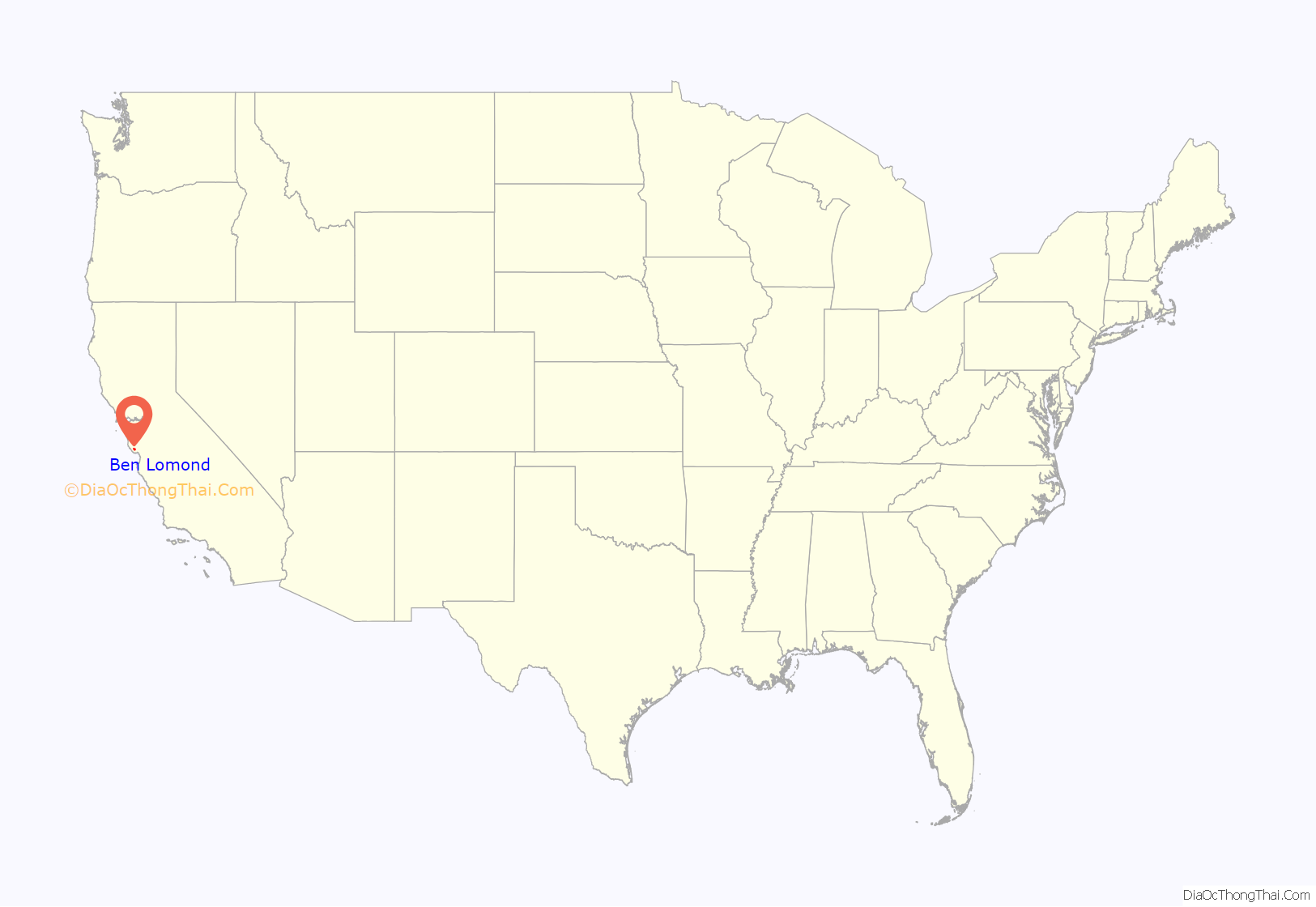
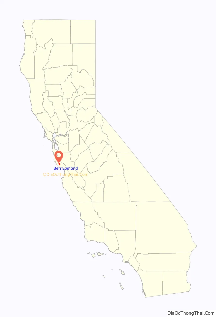
Ben Lomond location map. Where is Ben Lomond CDP?
History
The nearby Ben Lomond Mountain was named after the mountain in Scotland by John Burns, a Scottish man who settled on the west side of the ridge in 1851. Burns became one of the first vintners in the Santa Cruz Mountains, and is usually also credited with naming the community of Bonny Doon. The San Lorenzo River watershed contains extensive forests of Coast redwood, and was an early center of the logging/lumber industry in Santa Cruz County. The community was originally known as Pacific Mills, after a sawmill operation located there. When, in 1887, the community applied for a U.S. Post Office, residents voted to adopt the name of the mountain.
Alba School, a one-room schoolhouse, was constructed in 1895 and was in use until 1940; it later served as a library and a community center. It was destroyed in the CZU Lightning Complex fires in August 2020.
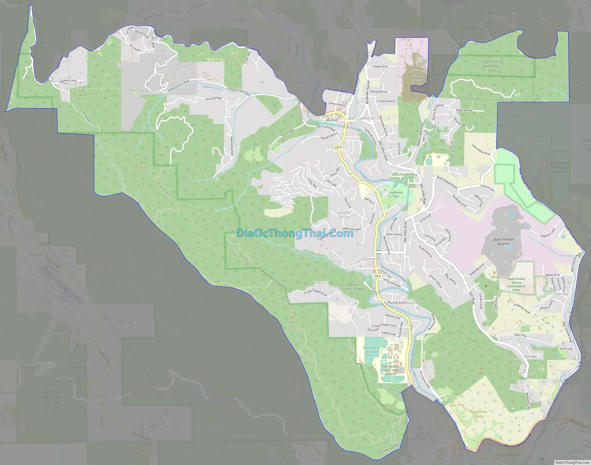
Ben Lomond Road Map
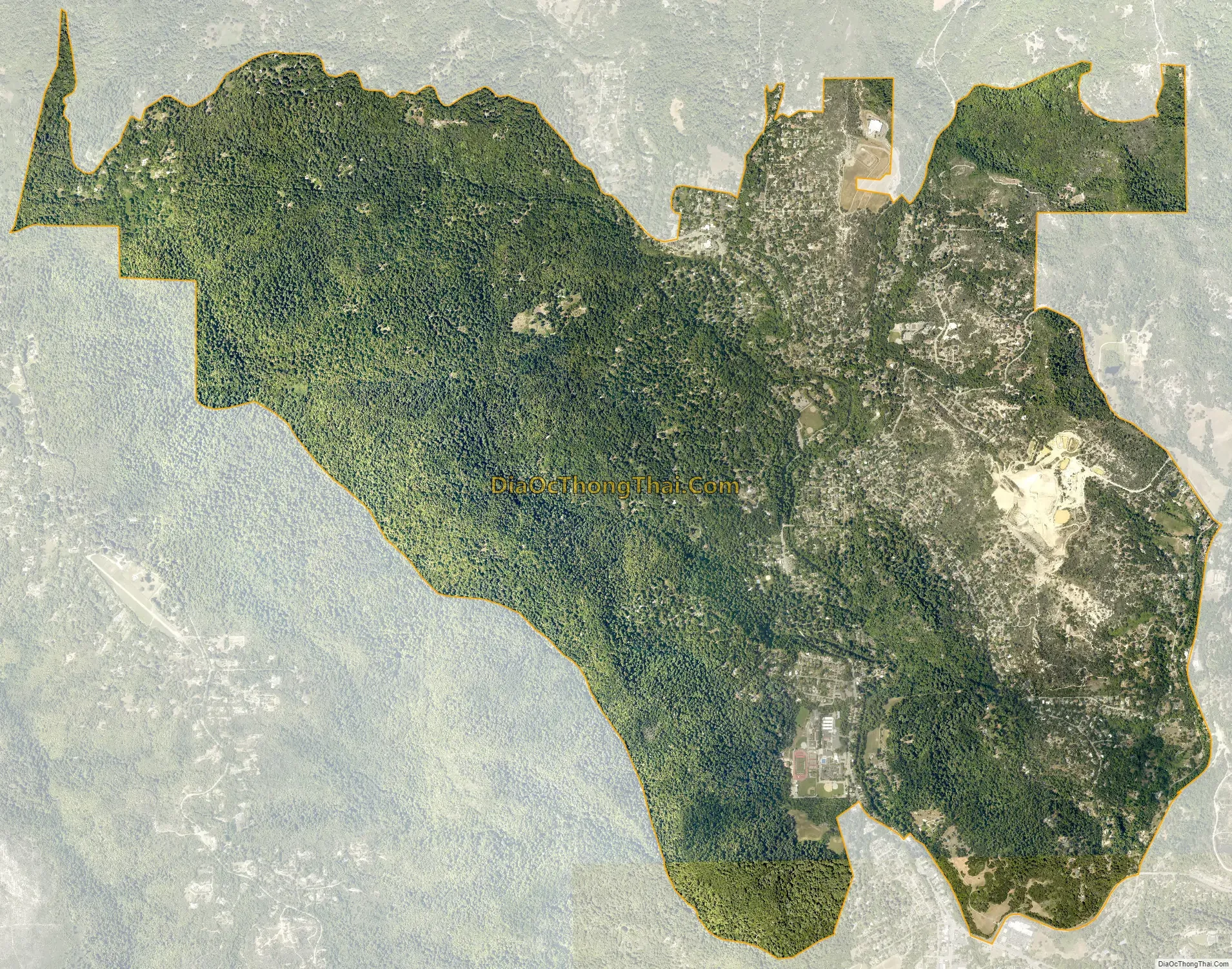
Ben Lomond city Satellite Map
Geography
Ben Lomond is located on State Highway 9, about 12 miles (19 km) from Santa Cruz and 34 miles (55 km) from San Jose (the nearest major city) at 37°5′24″N 122°5′24″W / 37.09000°N 122.09000°W / 37.09000; -122.09000 (37.09, -122.09). According to the United States Census Bureau, the CDP has a total area of 8.4 square miles (22 km). The San Lorenzo River runs through it, in what is known locally as the San Lorenzo Valley, which runs SE–NW to the east of Ben Lomond Mountain (in actuality a long ridge whose highest point has an elevation of 2,660 feet [810 m]).
Northeast of Ben Lomond is Loch Lomond, a reservoir built on Newell Creek and named after the original Loch Lomond in Scotland.
See also
Map of California State and its subdivision:- Alameda
- Alpine
- Amador
- Butte
- Calaveras
- Colusa
- Contra Costa
- Del Norte
- El Dorado
- Fresno
- Glenn
- Humboldt
- Imperial
- Inyo
- Kern
- Kings
- Lake
- Lassen
- Los Angeles
- Madera
- Marin
- Mariposa
- Mendocino
- Merced
- Modoc
- Mono
- Monterey
- Napa
- Nevada
- Orange
- Placer
- Plumas
- Riverside
- Sacramento
- San Benito
- San Bernardino
- San Diego
- San Francisco
- San Joaquin
- San Luis Obispo
- San Mateo
- Santa Barbara
- Santa Clara
- Santa Cruz
- Shasta
- Sierra
- Siskiyou
- Solano
- Sonoma
- Stanislaus
- Sutter
- Tehama
- Trinity
- Tulare
- Tuolumne
- Ventura
- Yolo
- Yuba
- Alabama
- Alaska
- Arizona
- Arkansas
- California
- Colorado
- Connecticut
- Delaware
- District of Columbia
- Florida
- Georgia
- Hawaii
- Idaho
- Illinois
- Indiana
- Iowa
- Kansas
- Kentucky
- Louisiana
- Maine
- Maryland
- Massachusetts
- Michigan
- Minnesota
- Mississippi
- Missouri
- Montana
- Nebraska
- Nevada
- New Hampshire
- New Jersey
- New Mexico
- New York
- North Carolina
- North Dakota
- Ohio
- Oklahoma
- Oregon
- Pennsylvania
- Rhode Island
- South Carolina
- South Dakota
- Tennessee
- Texas
- Utah
- Vermont
- Virginia
- Washington
- West Virginia
- Wisconsin
- Wyoming


