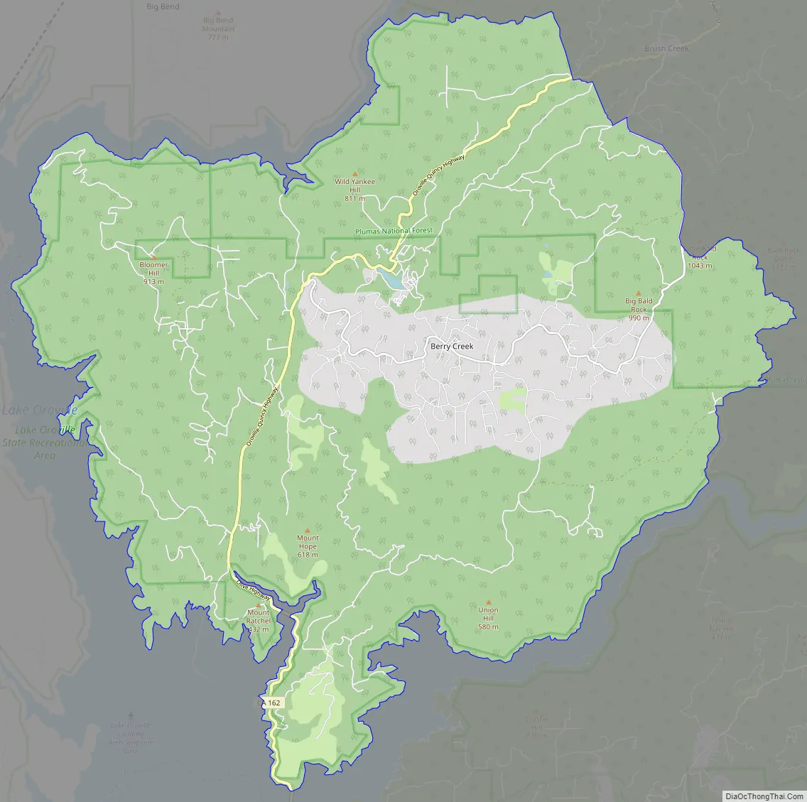
Berry Creek (formerly, Berry Valley) is a census-designated place about 25 miles (40 km) northeast of Oroville, California in hilly terrain at 2,000 feet (610 m) above mean sea level. The community is located along the Oroville-Quincy Highway on the shore of Madrone Lake. The community is home to Berry Creek Elementary School (K-8), 2 small mountain churches, 1 mini mart w/ gas, 1 small community park. Berry Creek is home to the annual Berry Festival which is held during August.
Berry Creek is inside Area code 530 and wired phone numbers follow the format (530) 589-xxxx. The community’s ZIP code is 95916, and is shared with the community of Brush Creek (which is about 4 mi (6.4 km) east on Oroville-Quincy Highway). The population was 525 in 2012.
There is a California Department of Forestry and Fire Protection fire station at an area called Harts Mill just south of the community. This is a historic name for a community once located at 39°37′25″N 121°26′08″W / 39.62361°N 121.43556°W / 39.62361; -121.43556. Harts Mill was probably a mining community named for a stamp mill. The USGS lists a variant name of Virginia Mill for the area. The CDF Fire Dept is located in Berry Creek approximately 2 mi (3.2 km) past the U.S. Post Office on Hwy 162 (Nearest cross street: Berry Creek Rd/Bloomer Hill Rd). There are two main mountains in Berry Creek to distinguish areas. Bloomer Hill (mountain nearest the Post Office) and Bald Rock mountain (mini mart and community park). The Berry Festival is always held on Bald Rock mountain.
Berry Creek was mostly destroyed by the Bear Fire on September 9, 2020.
| Name: | Berry Creek CDP |
|---|---|
| LSAD Code: | 57 |
| LSAD Description: | CDP (suffix) |
| State: | California |
| County: | Butte County |
| Elevation: | 2,000 ft (608 m) |
| Total Area: | 57.18 sq mi (148.09 km²) |
| Land Area: | 57.12 sq mi (147.94 km²) |
| Water Area: | 0.06 sq mi (0.15 km²) 0.10% |
| Total Population: | 1,637 |
| Population Density: | 28.66/sq mi (11.07/km²) |
| ZIP code: | 95916 |
| Area code: | 530 |
| FIPS code: | 0606070 |
Online Interactive Map
Click on ![]() to view map in "full screen" mode.
to view map in "full screen" mode.
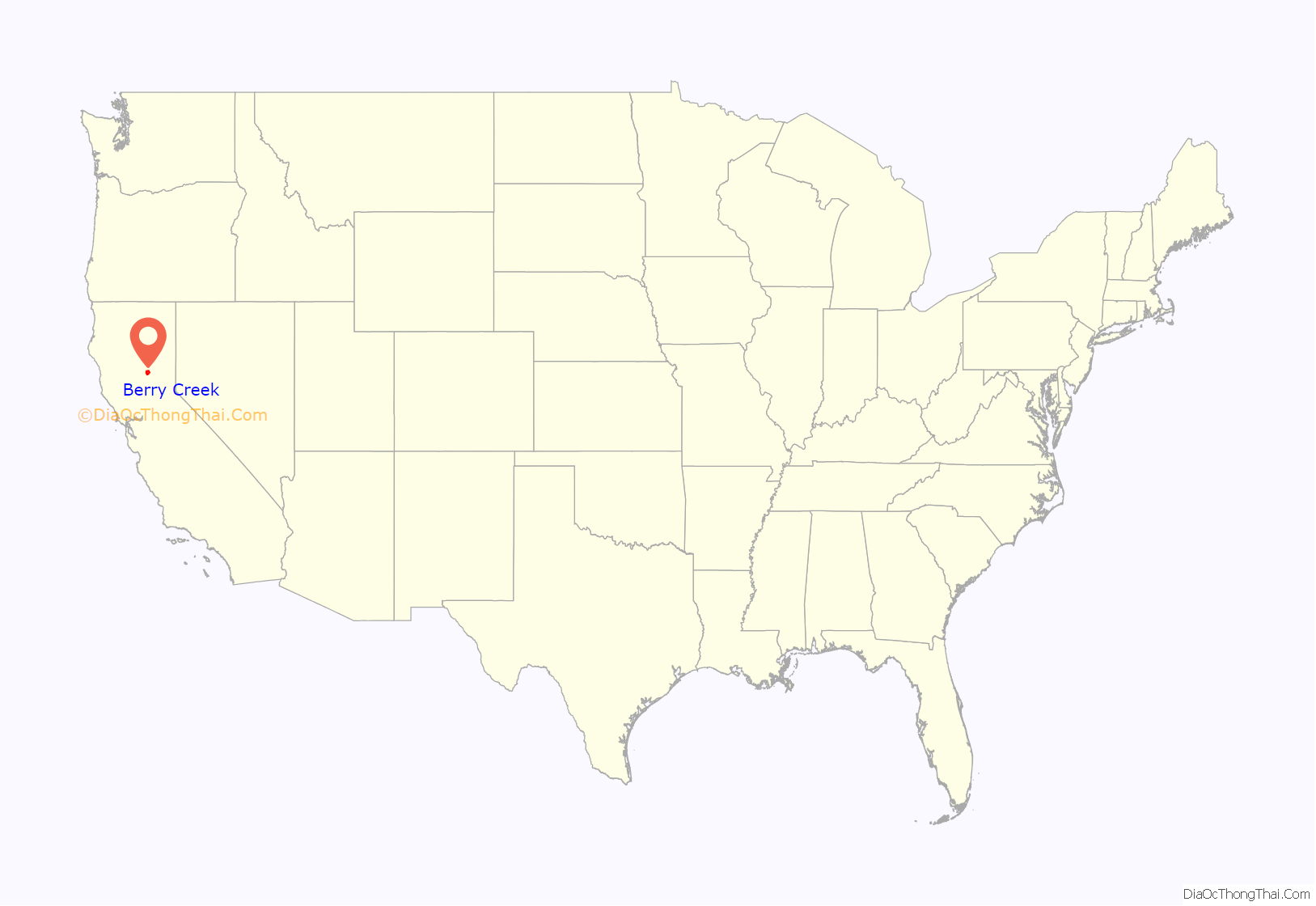
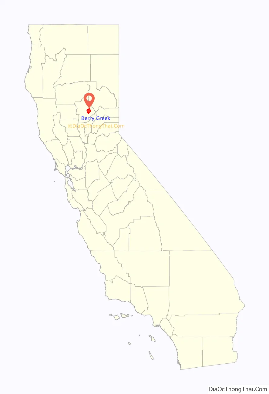
Berry Creek location map. Where is Berry Creek CDP?
History
Berry Creek’s first post office was established in 1875 being transferred from Oak Arbor; it changed locations several times before being closed in 1912. It was re-established in 1913, closed again in 1926, and re-opened in 1927.
In November 2018, the Camp Fire, a major wildfire that destroyed Paradise and Concow, threatened all of Berry Creek. Wooded areas of Berry Creek were burnt and some structures were destroyed. Most of Berry Creek was evacuated for two weeks from November 10–24.
On the evening of September 9, 2020, the Bear Fire reached the edge of town at 10 PM PDT and burned nearly all the structures in Berry Creek to the ground, destroying Berry Creek. 14 people were killed in the town.
Berry Creek Road Map
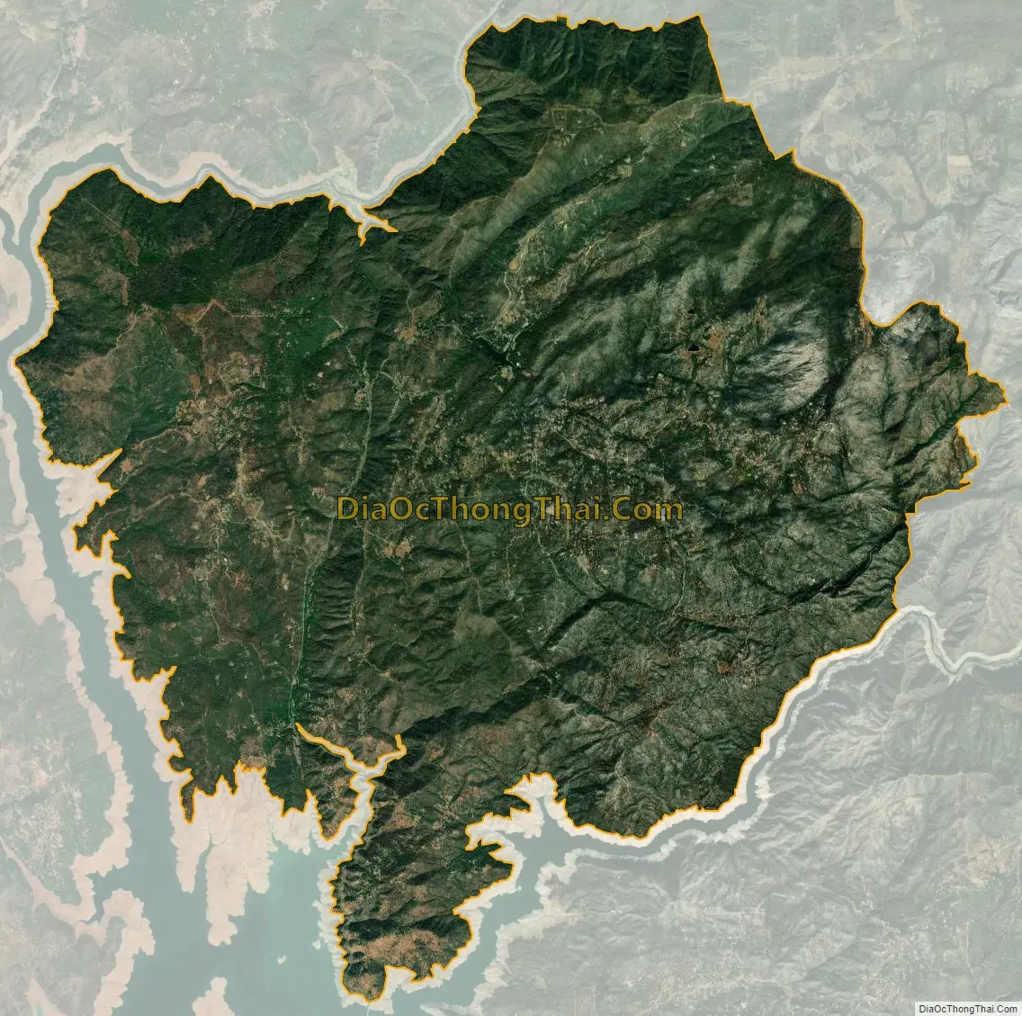
Berry Creek city Satellite Map
See also
Map of California State and its subdivision:- Alameda
- Alpine
- Amador
- Butte
- Calaveras
- Colusa
- Contra Costa
- Del Norte
- El Dorado
- Fresno
- Glenn
- Humboldt
- Imperial
- Inyo
- Kern
- Kings
- Lake
- Lassen
- Los Angeles
- Madera
- Marin
- Mariposa
- Mendocino
- Merced
- Modoc
- Mono
- Monterey
- Napa
- Nevada
- Orange
- Placer
- Plumas
- Riverside
- Sacramento
- San Benito
- San Bernardino
- San Diego
- San Francisco
- San Joaquin
- San Luis Obispo
- San Mateo
- Santa Barbara
- Santa Clara
- Santa Cruz
- Shasta
- Sierra
- Siskiyou
- Solano
- Sonoma
- Stanislaus
- Sutter
- Tehama
- Trinity
- Tulare
- Tuolumne
- Ventura
- Yolo
- Yuba
- Alabama
- Alaska
- Arizona
- Arkansas
- California
- Colorado
- Connecticut
- Delaware
- District of Columbia
- Florida
- Georgia
- Hawaii
- Idaho
- Illinois
- Indiana
- Iowa
- Kansas
- Kentucky
- Louisiana
- Maine
- Maryland
- Massachusetts
- Michigan
- Minnesota
- Mississippi
- Missouri
- Montana
- Nebraska
- Nevada
- New Hampshire
- New Jersey
- New Mexico
- New York
- North Carolina
- North Dakota
- Ohio
- Oklahoma
- Oregon
- Pennsylvania
- Rhode Island
- South Carolina
- South Dakota
- Tennessee
- Texas
- Utah
- Vermont
- Virginia
- Washington
- West Virginia
- Wisconsin
- Wyoming


