Coto de Caza (Spanish for “Hunting Reserve”) is a census-designated place (CDP) and guard-gated private community in Orange County, California. The population was 14,710 at the 2020 census.
The CDP is a suburban planned community of about 4,000 homes and one of Orange County’s oldest and most expensive master-planned communities. The project began in 1968, when it was envisioned as a hunting lodge, now the Lodge at Coto de Caza, and the community was completed in 2003. Coto de Caza also includes Los Ranchos Estates, a 355-acre rural community of 75 large custom homes. Los Ranchos Estates is a separate private community behind the gates of Coto de Caza and has its own homeowner’s association.
| Name: | Coto de Caza CDP |
|---|---|
| LSAD Code: | 57 |
| LSAD Description: | CDP (suffix) |
| State: | California |
| County: | Orange County |
| Elevation: | 709 ft (216 m) |
| Total Area: | 7.82 sq mi (20.26 km²) |
| Land Area: | 7.80 sq mi (20.20 km²) |
| Water Area: | 0.02 sq mi (0.06 km²) 0.29% |
| Total Population: | 14,710 |
| Population Density: | 1,886.38/sq mi (728.36/km²) |
| ZIP code: | 92679 |
| Area code: | 949 |
| FIPS code: | 0616580 |
| Website: | community.dwellinglive.com/czmaster.aspx |
Online Interactive Map
Click on ![]() to view map in "full screen" mode.
to view map in "full screen" mode.
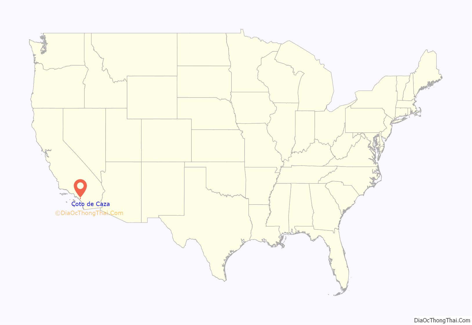
Coto de Caza location map. Where is Coto de Caza CDP?
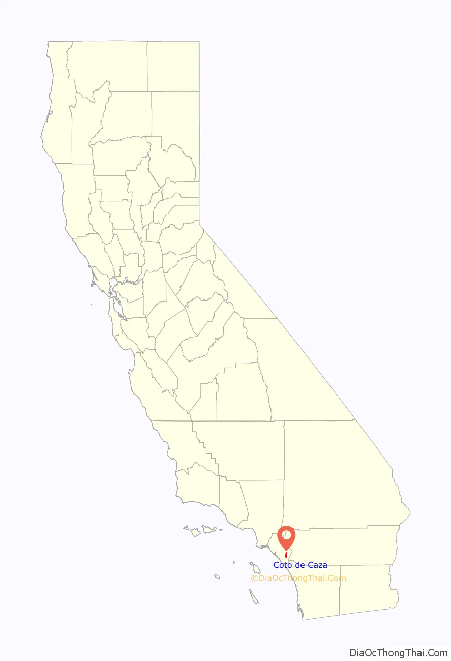
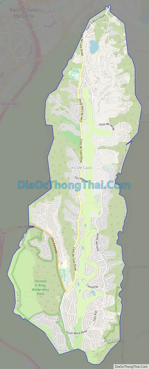
Coto de Caza Road Map
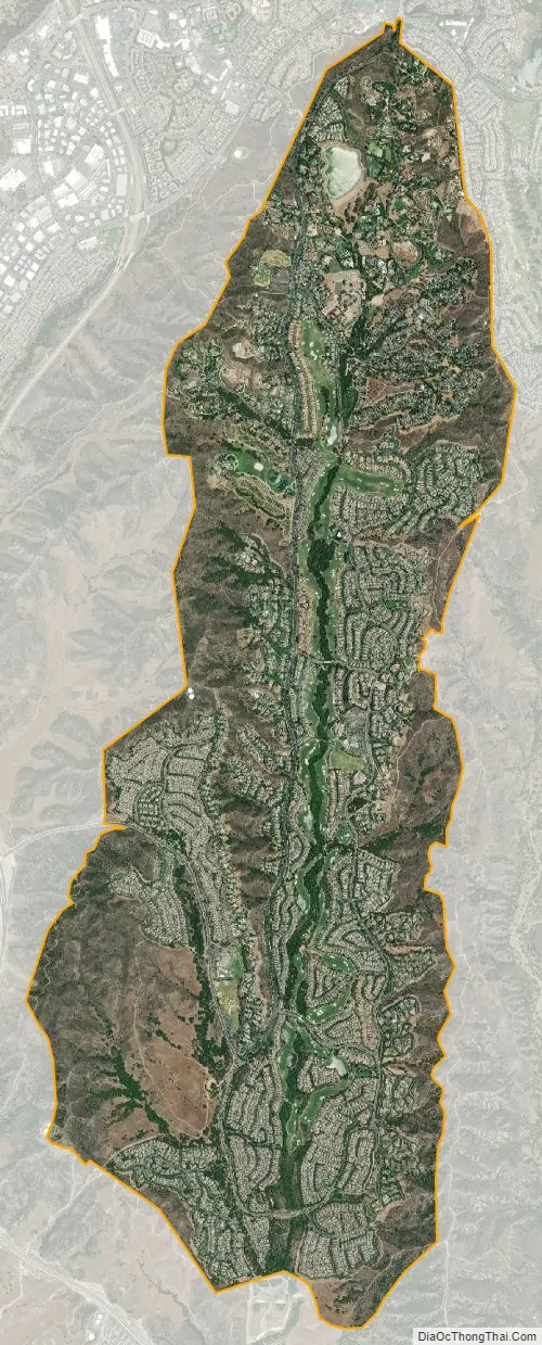
Coto de Caza city Satellite Map
Geography
Coto de Caza is located in the northern portion of Wagon Wheel Canyon in southeast Orange County, at 33°35′45″N 117°35′16″W / 33.59583°N 117.58778°W / 33.59583; -117.58778 (33.595925, -117.587665).
According to the United States Census Bureau, the CDP has a total area of 8.0 square miles (21 km), of which, 8.0 square miles (21 km) of it is land and 0.02 square miles (0.052 km) of it (0.29%) is water.
The suburban planned community of Coto de Caza was a joint venture of Chevron and Arvida Corporations. Development was first initiated in 1964. In 1979, Arvida bought out Chevron. Richard Boultinghouse, who had previously developed McCormick Ranch in Scottsdale, Arizona, was hired as president and general manager. In 1983, Orange County approved Coto’s master plan for a community of approximately 5,000 homes, and three years later, the community officially opened. Coto de Caza’s reputation as an ecologically oriented recreation community was strengthened by the former Vic Braden’s Tennis College and a 36-hole Robert Trent Jones Jr.-designed golf course.
In 1984, Arvida, Disney, Chevron, and City Federal Savings & Loan partnered in the development of Coto de Caza. Boultinghouse was later replaced by John C Yelverton.
In 1996, Lennar took over as development manager. Under Lennar’s stewardship, Coto de Caza was repositioned to promote more luxurious homes and lower densities, coincident with the regional recovery from the recent recession. The average price of a home in Coto de Caza increased from $375,000 in 1996 to $840,000 in 2000, to well over a million dollars.
Climate
According to the Köppen Climate Classification system, Coto de Caza has a warm-summer Mediterranean climate, abbreviated “Csa” on climate maps.
See also
Map of California State and its subdivision:- Alameda
- Alpine
- Amador
- Butte
- Calaveras
- Colusa
- Contra Costa
- Del Norte
- El Dorado
- Fresno
- Glenn
- Humboldt
- Imperial
- Inyo
- Kern
- Kings
- Lake
- Lassen
- Los Angeles
- Madera
- Marin
- Mariposa
- Mendocino
- Merced
- Modoc
- Mono
- Monterey
- Napa
- Nevada
- Orange
- Placer
- Plumas
- Riverside
- Sacramento
- San Benito
- San Bernardino
- San Diego
- San Francisco
- San Joaquin
- San Luis Obispo
- San Mateo
- Santa Barbara
- Santa Clara
- Santa Cruz
- Shasta
- Sierra
- Siskiyou
- Solano
- Sonoma
- Stanislaus
- Sutter
- Tehama
- Trinity
- Tulare
- Tuolumne
- Ventura
- Yolo
- Yuba
- Alabama
- Alaska
- Arizona
- Arkansas
- California
- Colorado
- Connecticut
- Delaware
- District of Columbia
- Florida
- Georgia
- Hawaii
- Idaho
- Illinois
- Indiana
- Iowa
- Kansas
- Kentucky
- Louisiana
- Maine
- Maryland
- Massachusetts
- Michigan
- Minnesota
- Mississippi
- Missouri
- Montana
- Nebraska
- Nevada
- New Hampshire
- New Jersey
- New Mexico
- New York
- North Carolina
- North Dakota
- Ohio
- Oklahoma
- Oregon
- Pennsylvania
- Rhode Island
- South Carolina
- South Dakota
- Tennessee
- Texas
- Utah
- Vermont
- Virginia
- Washington
- West Virginia
- Wisconsin
- Wyoming


