Crestline is a census-designated place in the San Bernardino Mountains of San Bernardino County, California, USA. The population was 10,770 at the 2010 census, up from 10,218 at the 2000 census.
| Name: | Crestline CDP |
|---|---|
| LSAD Code: | 57 |
| LSAD Description: | CDP (suffix) |
| State: | California |
| County: | San Bernardino County |
| Elevation: | 4,613 ft (1,406 m) |
| Total Area: | 14.02 sq mi (36.32 km²) |
| Land Area: | 13.90 sq mi (36.01 km²) |
| Water Area: | 0.12 sq mi (0.31 km²) 1.00% |
| Total Population: | 11,650 |
| Population Density: | 837.89/sq mi (323.50/km²) |
| ZIP code: | 92325 |
| Area code: | 909 |
| FIPS code: | 0617162 |
| GNISfeature ID: | 1660523 |
Online Interactive Map
Click on ![]() to view map in "full screen" mode.
to view map in "full screen" mode.
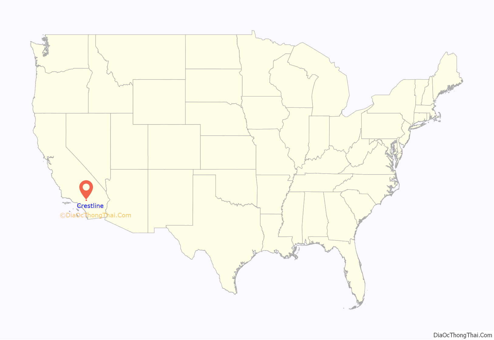
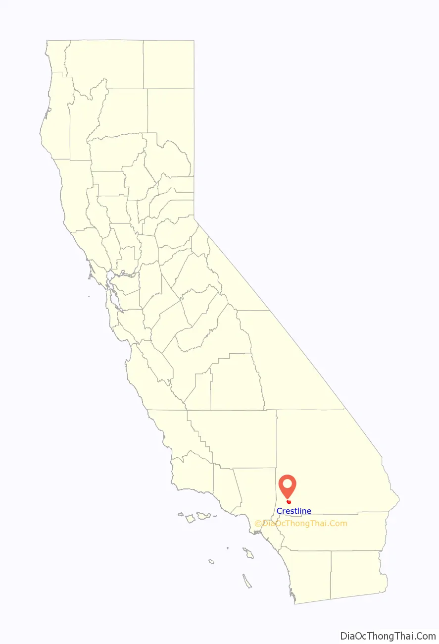
Crestline location map. Where is Crestline CDP?
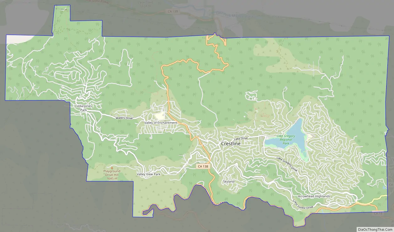
Crestline Road Map
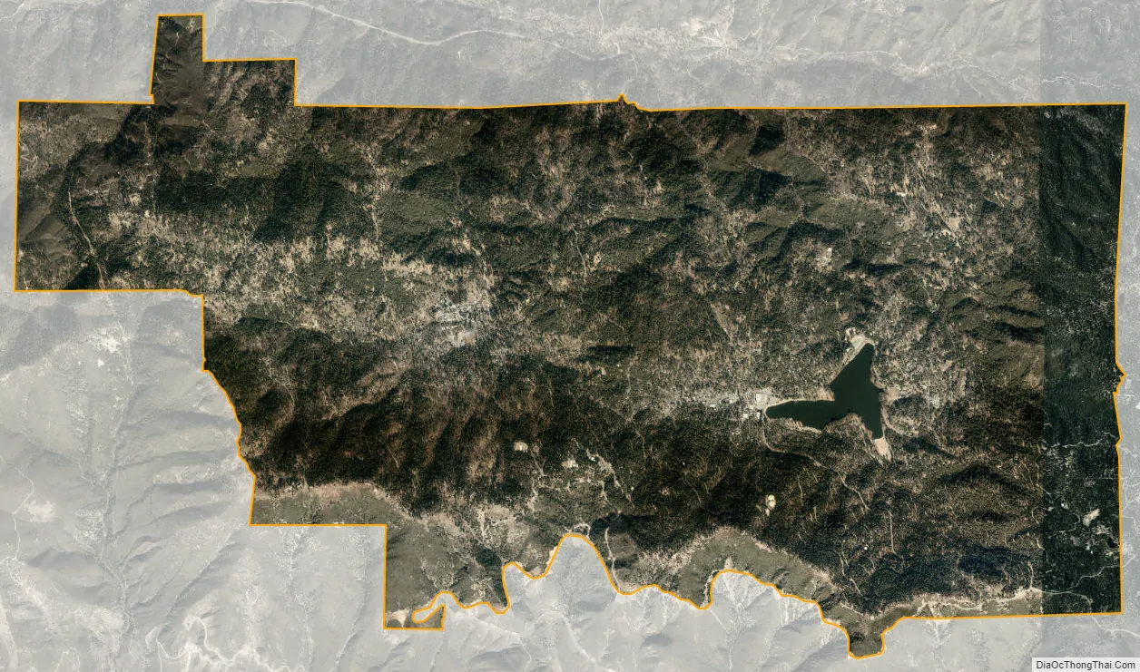
Crestline city Satellite Map
Geography
Crestline is located at 34°14′33″N 117°17′24″W / 34.24250°N 117.29000°W / 34.24250; -117.29000.
According to the United States Census Bureau, Crestline has a total area of 14.0 square miles (36 km). 13.8 square miles (36 km) of it is land and 0.1 square miles (0.26 km) of it (1.00%) is water.
Crestline is located within the San Bernardino National Forest; Lake Gregory is located in the center of Crestline.
Climate
According to the Köppen Climate Classification system, Crestline has a warm-summer Mediterranean climate, abbreviated Csb on climate maps.
See also
Map of California State and its subdivision:- Alameda
- Alpine
- Amador
- Butte
- Calaveras
- Colusa
- Contra Costa
- Del Norte
- El Dorado
- Fresno
- Glenn
- Humboldt
- Imperial
- Inyo
- Kern
- Kings
- Lake
- Lassen
- Los Angeles
- Madera
- Marin
- Mariposa
- Mendocino
- Merced
- Modoc
- Mono
- Monterey
- Napa
- Nevada
- Orange
- Placer
- Plumas
- Riverside
- Sacramento
- San Benito
- San Bernardino
- San Diego
- San Francisco
- San Joaquin
- San Luis Obispo
- San Mateo
- Santa Barbara
- Santa Clara
- Santa Cruz
- Shasta
- Sierra
- Siskiyou
- Solano
- Sonoma
- Stanislaus
- Sutter
- Tehama
- Trinity
- Tulare
- Tuolumne
- Ventura
- Yolo
- Yuba
- Alabama
- Alaska
- Arizona
- Arkansas
- California
- Colorado
- Connecticut
- Delaware
- District of Columbia
- Florida
- Georgia
- Hawaii
- Idaho
- Illinois
- Indiana
- Iowa
- Kansas
- Kentucky
- Louisiana
- Maine
- Maryland
- Massachusetts
- Michigan
- Minnesota
- Mississippi
- Missouri
- Montana
- Nebraska
- Nevada
- New Hampshire
- New Jersey
- New Mexico
- New York
- North Carolina
- North Dakota
- Ohio
- Oklahoma
- Oregon
- Pennsylvania
- Rhode Island
- South Carolina
- South Dakota
- Tennessee
- Texas
- Utah
- Vermont
- Virginia
- Washington
- West Virginia
- Wisconsin
- Wyoming


