Dos Palos (Spanish for “Two Timbers”) is a city in Merced County, California, United States. Dos Palos is located 27 miles (43 km) south-southwest of Merced, the county seat, at an elevation of 118 feet (36 m). The population was 5,798 at the 2020 census, up from 4,950 at the 2010 census.
| Name: | Dos Palos city |
|---|---|
| LSAD Code: | 25 |
| LSAD Description: | city (suffix) |
| State: | California |
| County: | Merced County |
| Incorporated: | May 24, 1935 |
| Elevation: | 118 ft (36 m) |
| Total Area: | 1.35 sq mi (3.5 km²) |
| Land Area: | 1.35 sq mi (3.5 km²) |
| Water Area: | 0.00 sq mi (0.0 km²) 0% |
| Total Population: | 5,798 |
| Population Density: | 4,298.00/sq mi (1,659.47/km²) |
| ZIP code: | 93620 |
| Area code: | 209 |
| FIPS code: | 0619612 |
| Website: | dospaloscity.wixsite.com/dospalos |
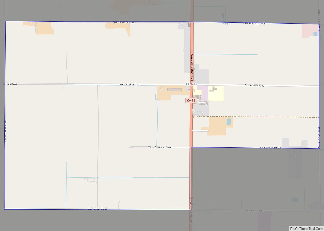
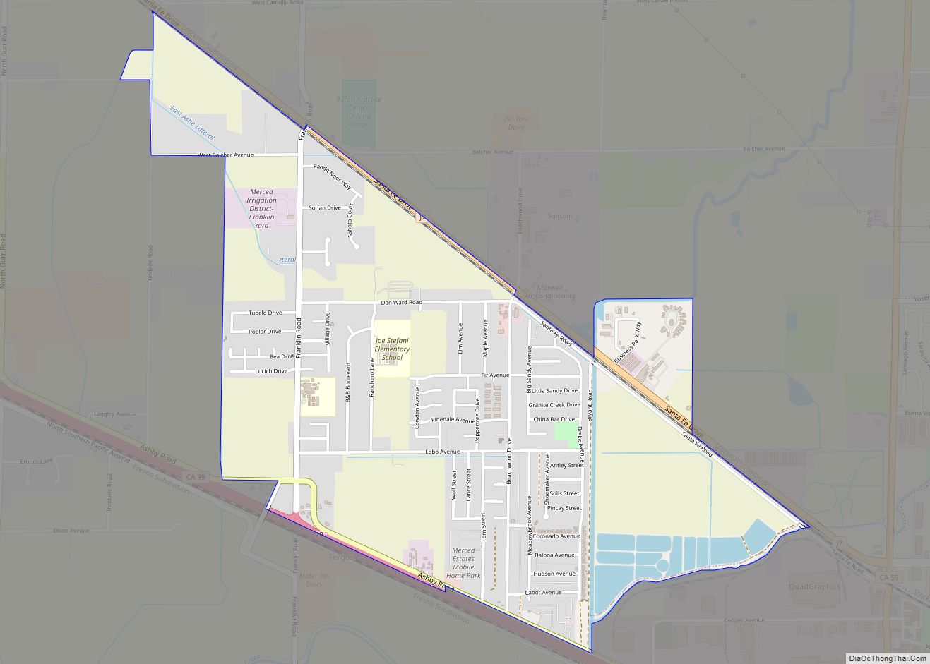
Online Interactive Map
Click on ![]() to view map in "full screen" mode.
to view map in "full screen" mode.
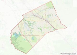
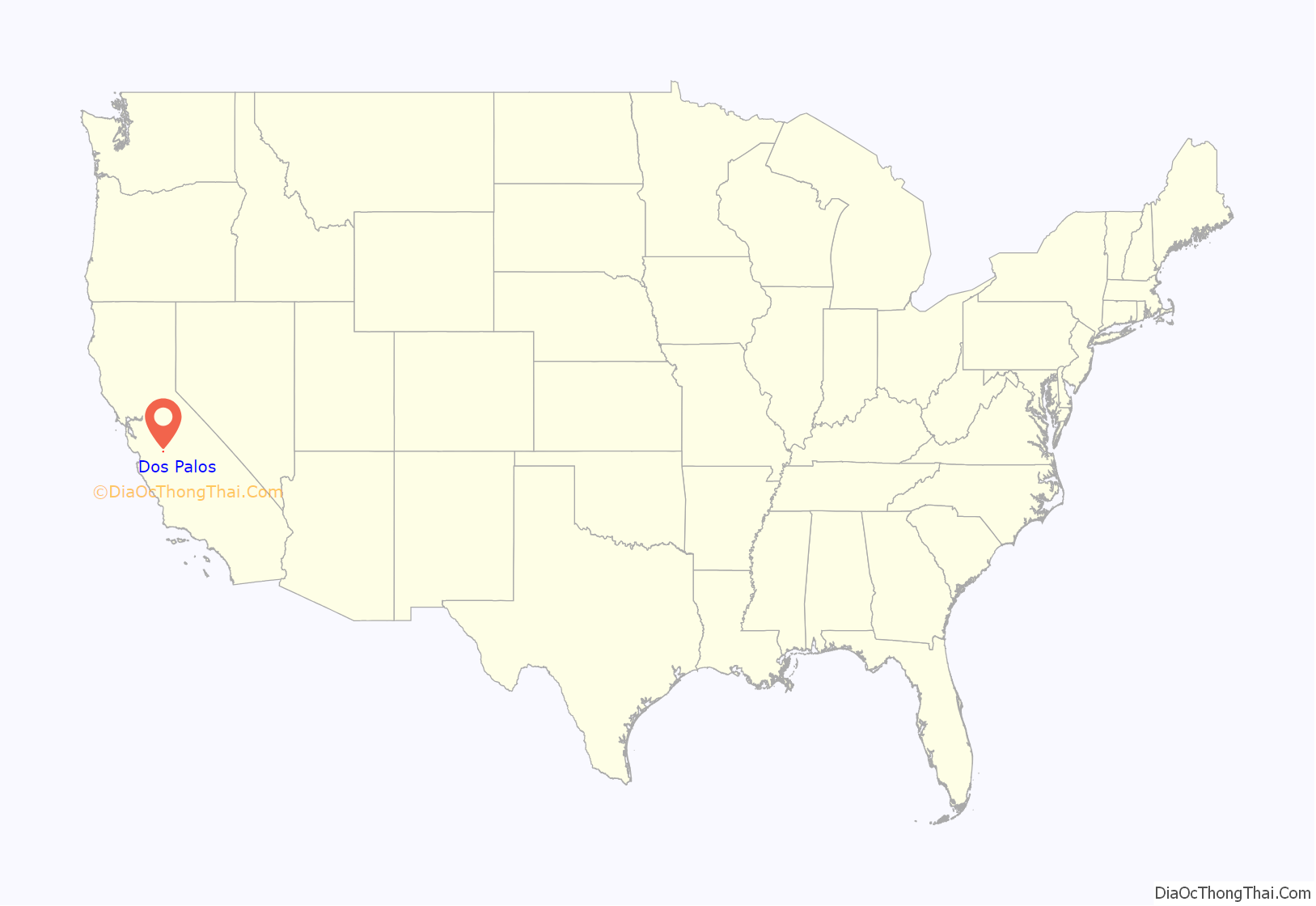
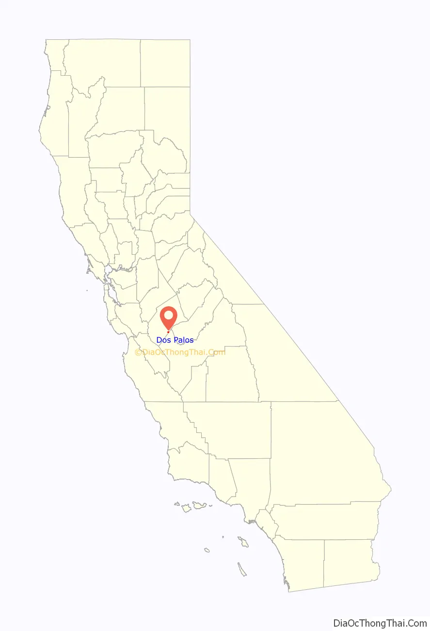
Dos Palos location map. Where is Dos Palos city?
History
In one of his expeditions during the 1820s along the west side of the San Joaquin Valley, explorer Gabriel Moraga reported the location of two large isolated poplar trees, which he called “Dos Palos”. In 19th-century Spanish usage, palos was used to describe tall pole-like trees or “timbers”. 21st-century usage often translates it as “sticks”. The “Rancho Sanjon de Santa Rita” Mexican land grant cites “Los Dos Palos” or “The Two Trees” as a boundary marker.
In 1891, former school superintendent Bernhard Marks convinced cattle ranch king Henry Miller to develop a small town nearby. They gave it the name “Dos Palos Colony” but pronounced it with their ethnic accents (Marks a Polish Jew and Miller an Alsatian German) as “Dahce Palace”. This pronunciation remained for over one hundred years until a recent Spanish pronunciation revival. Marks brought forty pioneer families west from Iowa and Nebraska to establish the community. In 1892, unable to find good water, many of the settlers left. Marks convinced Miller to establish another town two miles away on land unsuitable for farming and ranching due to swamps and unsettling soils. Some of the settlers relocated. This new town was named “Colony Center”. In 1906, Dos Palos Colony was renamed South Dos Palos and Colony Center was renamed Dos Palos. The Post Office was briefly misspelled as one word, “Dospalos” but this was changed within a year. About a dozen of the colony’s original families still reside locally. Through the years, people from many other locations joined the community. Dos Palos incorporated in 1935.
On January 1, 2008, 6.52 square miles (16.89 km) surrounding the community of Dos Palos were transferred from Fresno County to Merced County.
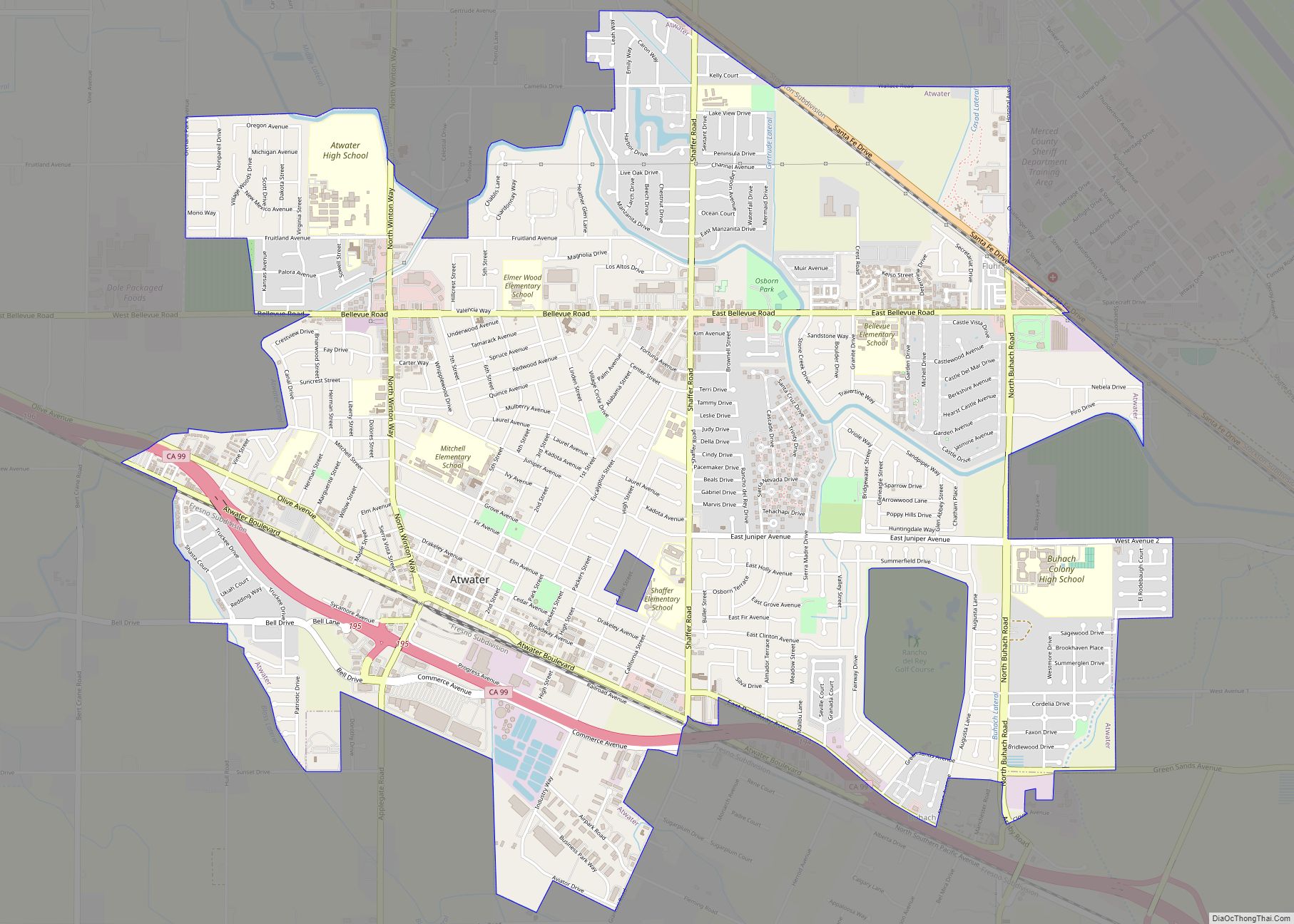
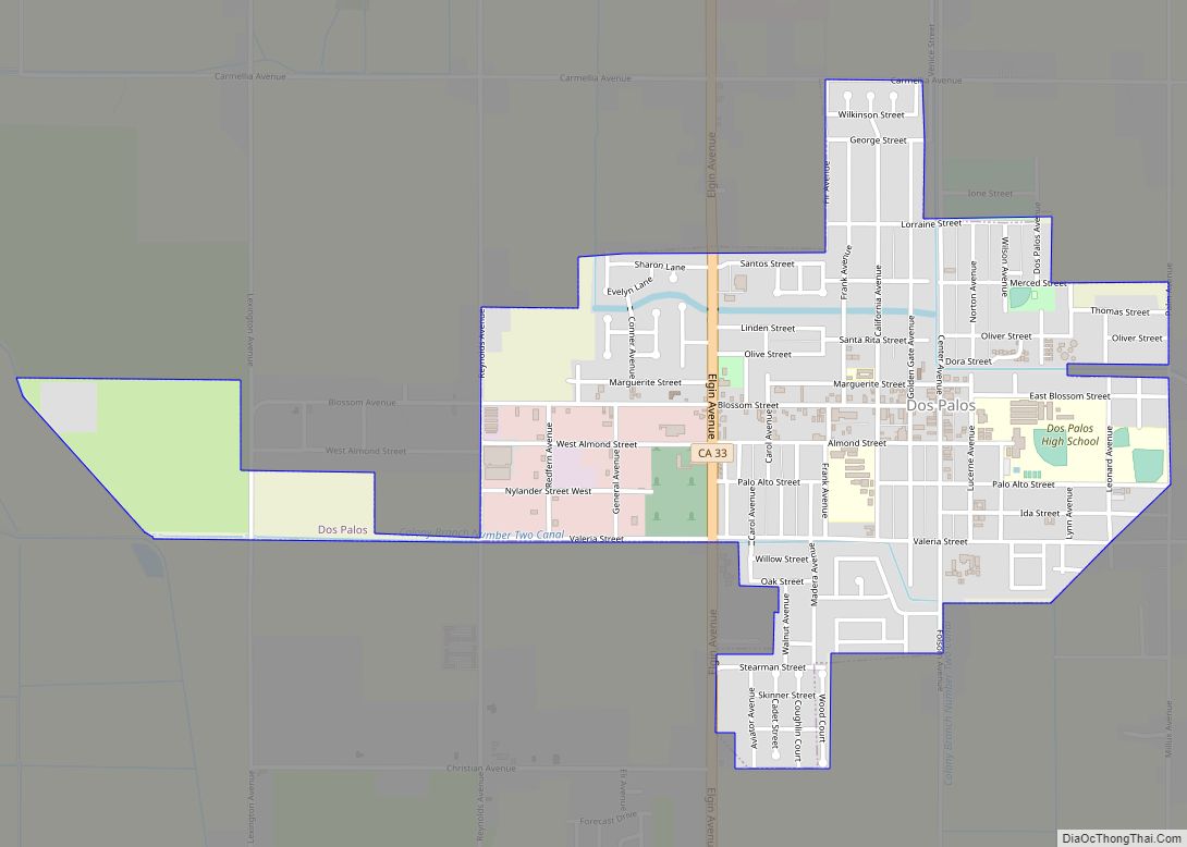
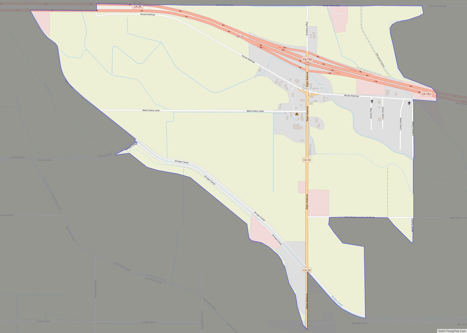
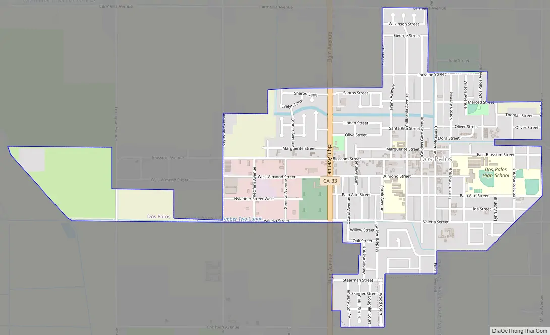
Dos Palos Road Map
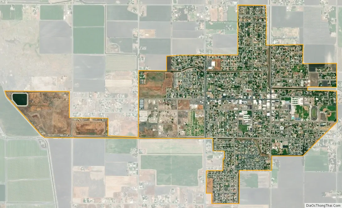
Dos Palos city Satellite Map
Geography
Dos Palos is located in southern Merced County at 36°59′N 120°38′W / 36.983°N 120.633°W / 36.983; -120.633. It is 17 miles (27 km) southeast of Los Banos and 40 miles (64 km) by road west of Madera.
According to the United States Census Bureau, the city covers an area of 1.35 square miles (3.5 km), all of it land.
See also
Map of California State and its subdivision:- Alameda
- Alpine
- Amador
- Butte
- Calaveras
- Colusa
- Contra Costa
- Del Norte
- El Dorado
- Fresno
- Glenn
- Humboldt
- Imperial
- Inyo
- Kern
- Kings
- Lake
- Lassen
- Los Angeles
- Madera
- Marin
- Mariposa
- Mendocino
- Merced
- Modoc
- Mono
- Monterey
- Napa
- Nevada
- Orange
- Placer
- Plumas
- Riverside
- Sacramento
- San Benito
- San Bernardino
- San Diego
- San Francisco
- San Joaquin
- San Luis Obispo
- San Mateo
- Santa Barbara
- Santa Clara
- Santa Cruz
- Shasta
- Sierra
- Siskiyou
- Solano
- Sonoma
- Stanislaus
- Sutter
- Tehama
- Trinity
- Tulare
- Tuolumne
- Ventura
- Yolo
- Yuba
- Alabama
- Alaska
- Arizona
- Arkansas
- California
- Colorado
- Connecticut
- Delaware
- District of Columbia
- Florida
- Georgia
- Hawaii
- Idaho
- Illinois
- Indiana
- Iowa
- Kansas
- Kentucky
- Louisiana
- Maine
- Maryland
- Massachusetts
- Michigan
- Minnesota
- Mississippi
- Missouri
- Montana
- Nebraska
- Nevada
- New Hampshire
- New Jersey
- New Mexico
- New York
- North Carolina
- North Dakota
- Ohio
- Oklahoma
- Oregon
- Pennsylvania
- Rhode Island
- South Carolina
- South Dakota
- Tennessee
- Texas
- Utah
- Vermont
- Virginia
- Washington
- West Virginia
- Wisconsin
- Wyoming