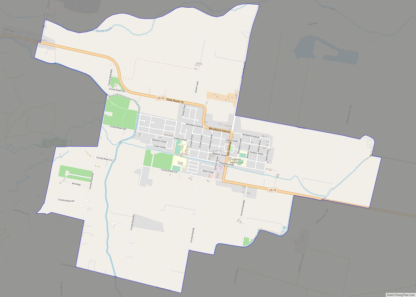
Esparto (Spanish for “Halfah grass”) is a census-designated place (CDP) in Yolo County, California, United States. It is part of the Sacramento–Arden-Arcade–Roseville Metropolitan Statistical Area. The population was 3,108 at the 2010 census.
| Name: | Esparto CDP |
|---|---|
| LSAD Code: | 57 |
| LSAD Description: | CDP (suffix) |
| State: | California |
| County: | Yolo County |
| Elevation: | 58 m (190 ft) |
| Total Area: | 11.917 km² (4.601 sq mi) |
| Land Area: | 11.917 km² (4.601 sq mi) |
| Water Area: | 0 km² (0 sq mi) |
| Total Population: | 3,108 |
| Population Density: | 260/km² (680/sq mi) |
| ZIP code: | 95627 |
| Area code: | 530 |
| FIPS code: | 0622846 |
| GNISfeature ID: | 0277508 |
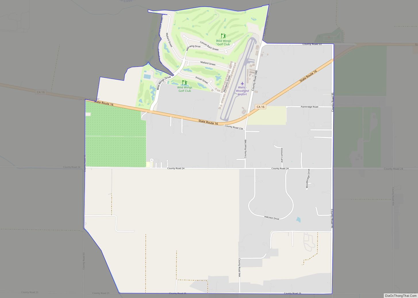
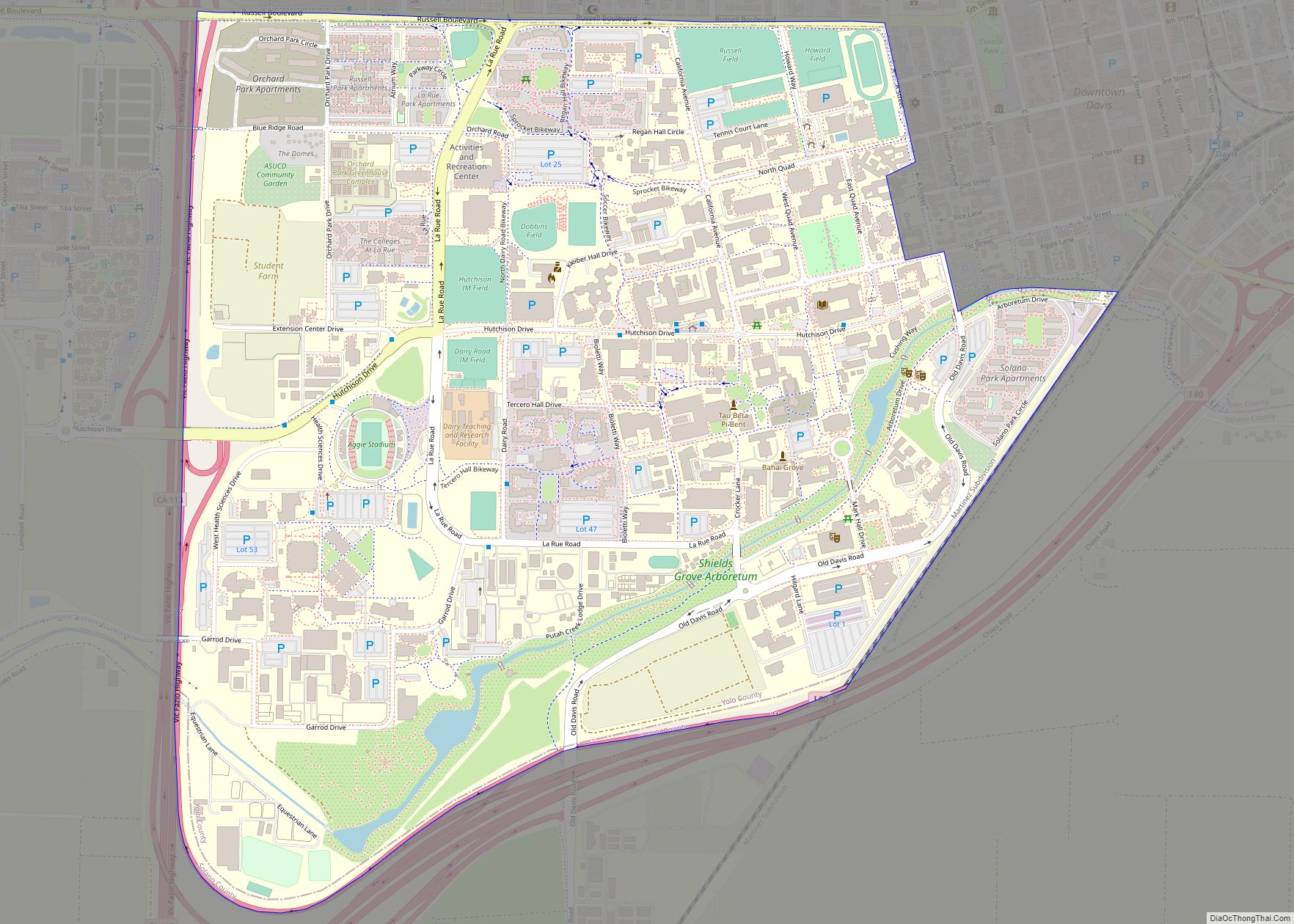
Online Interactive Map
Click on ![]() to view map in "full screen" mode.
to view map in "full screen" mode.
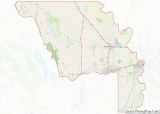
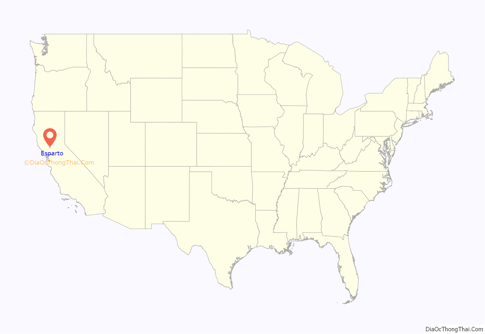
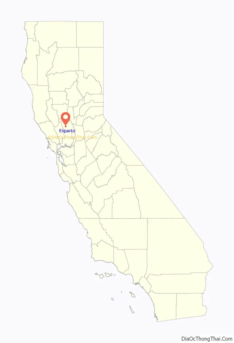
Esparto location map. Where is Esparto CDP?
History
Vaca Valley Railroad officials gave the name Esperanza (“hope” in Spanish) to their new townsite in 1888, but when the post office was established in 1890 the name had to be changed because there was already an Esperanza in Tulare County. The name Esparto was chosen as the new name, and it means “feather grass” (Stipa tenacissima) in Spanish. In 1888 Esparto was laid with track from the Vaca Valley Railroad (later consolidated into the Southern Pacific Railroad) that trailed to Rumsey. In 1893, Yolo County’s second high school was established in the town of Esparto, Esparto High School, but a building for it was not built until 1918.
The Vaca Valley Railroad began in 1937 to remove track from Rumsey to Esparto, stopping train service northwest of Esparto in 1941. The passenger service from Esparto to Elmira was officially discontinued in 1957. Voters approved the formation of a school district in 1959-60 that encompass the Capay Valley. Another major win for the community was the successful fundraising for the Esparto Regional Library Branch of the Yolo County Library in 1999.
A local quarry was used in 2009 by the MythBusters to test the “Knock Your Socks off” myth. A large ANFO explosion was detonated which caused damage and much local complaint as described in the episode “Location, Location, Location”. According to Grant Imahara, who was part of the team performing the test, the MythBusters have been unable to set foot into Esparto following the incident.
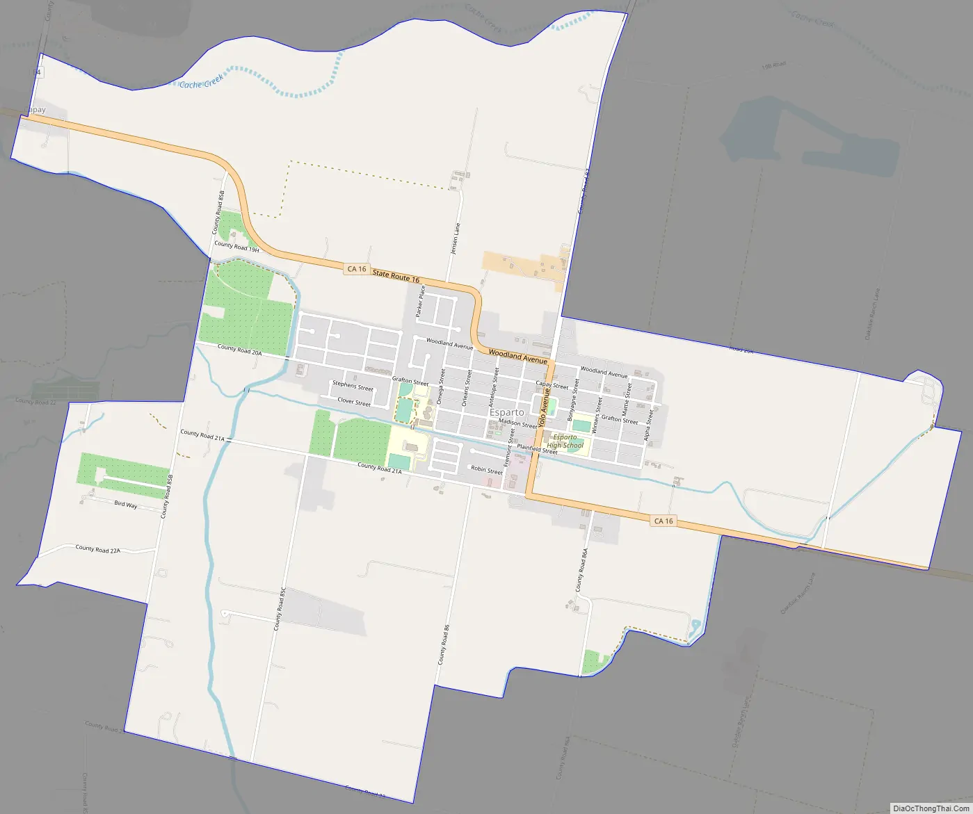
Esparto Road Map
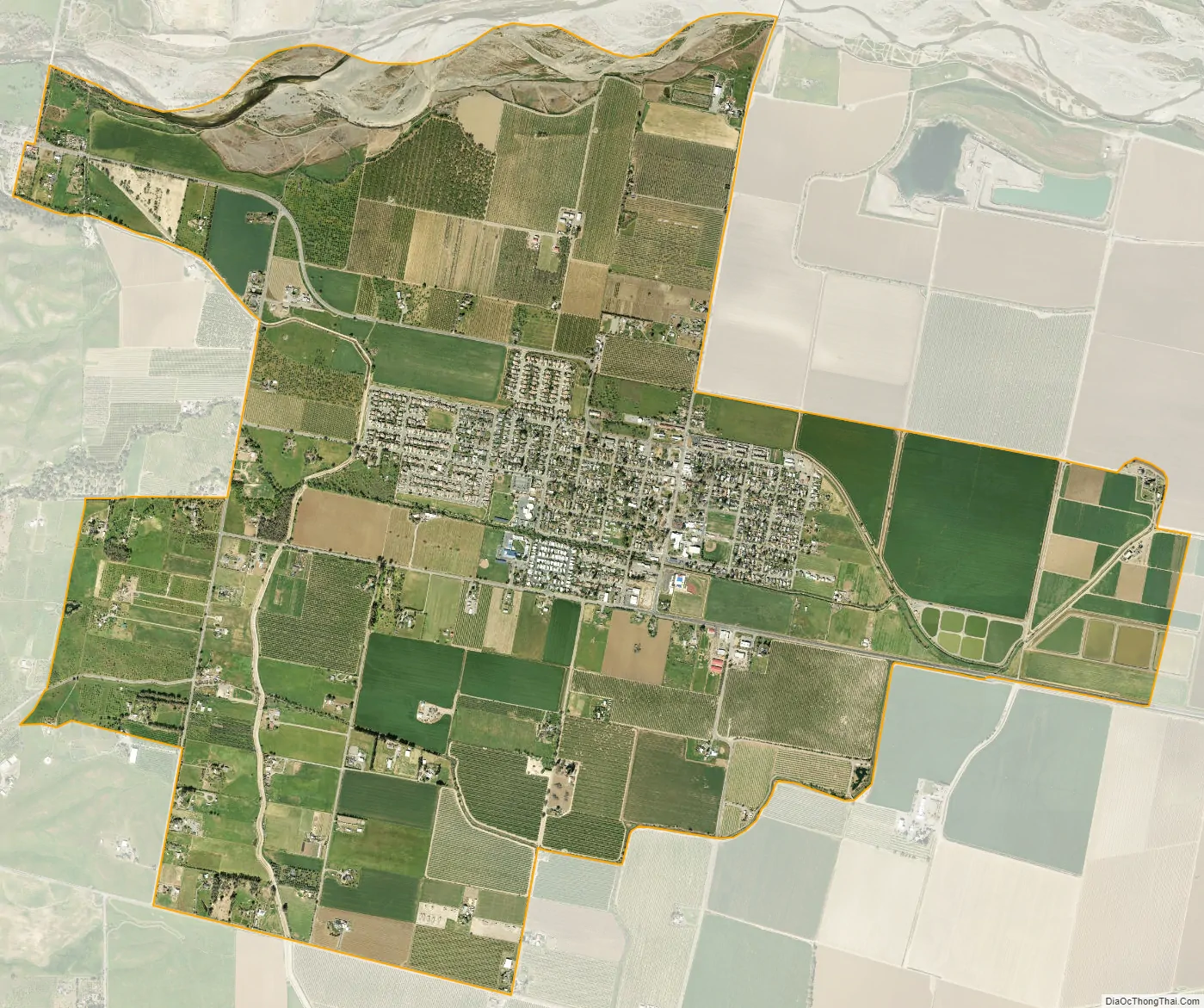
Esparto city Satellite Map
Geography
Esparto is located at 38°41′35″N 122°01′08″W / 38.69306°N 122.01889°W / 38.69306; -122.01889.
According to the United States Census Bureau, the CDP has a total area of 4.6 square miles (12 km), all of it land.
See also
Map of California State and its subdivision:- Alameda
- Alpine
- Amador
- Butte
- Calaveras
- Colusa
- Contra Costa
- Del Norte
- El Dorado
- Fresno
- Glenn
- Humboldt
- Imperial
- Inyo
- Kern
- Kings
- Lake
- Lassen
- Los Angeles
- Madera
- Marin
- Mariposa
- Mendocino
- Merced
- Modoc
- Mono
- Monterey
- Napa
- Nevada
- Orange
- Placer
- Plumas
- Riverside
- Sacramento
- San Benito
- San Bernardino
- San Diego
- San Francisco
- San Joaquin
- San Luis Obispo
- San Mateo
- Santa Barbara
- Santa Clara
- Santa Cruz
- Shasta
- Sierra
- Siskiyou
- Solano
- Sonoma
- Stanislaus
- Sutter
- Tehama
- Trinity
- Tulare
- Tuolumne
- Ventura
- Yolo
- Yuba
- Alabama
- Alaska
- Arizona
- Arkansas
- California
- Colorado
- Connecticut
- Delaware
- District of Columbia
- Florida
- Georgia
- Hawaii
- Idaho
- Illinois
- Indiana
- Iowa
- Kansas
- Kentucky
- Louisiana
- Maine
- Maryland
- Massachusetts
- Michigan
- Minnesota
- Mississippi
- Missouri
- Montana
- Nebraska
- Nevada
- New Hampshire
- New Jersey
- New Mexico
- New York
- North Carolina
- North Dakota
- Ohio
- Oklahoma
- Oregon
- Pennsylvania
- Rhode Island
- South Carolina
- South Dakota
- Tennessee
- Texas
- Utah
- Vermont
- Virginia
- Washington
- West Virginia
- Wisconsin
- Wyoming