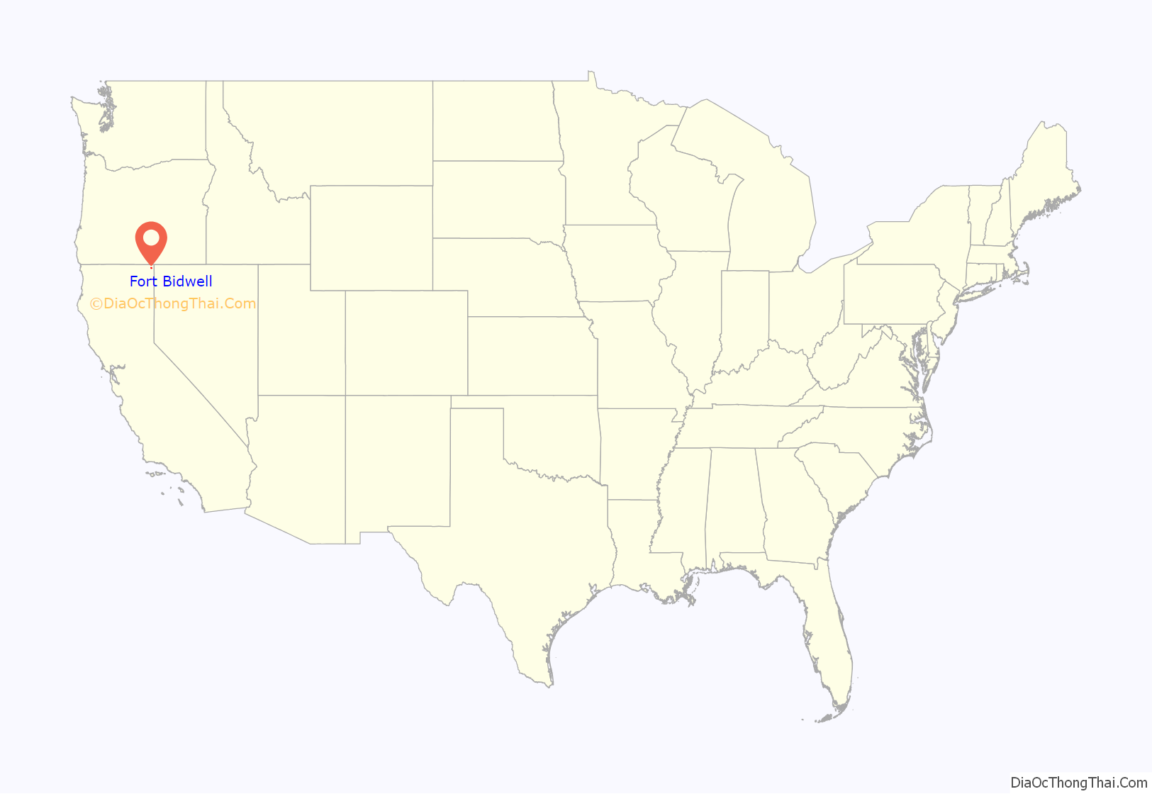
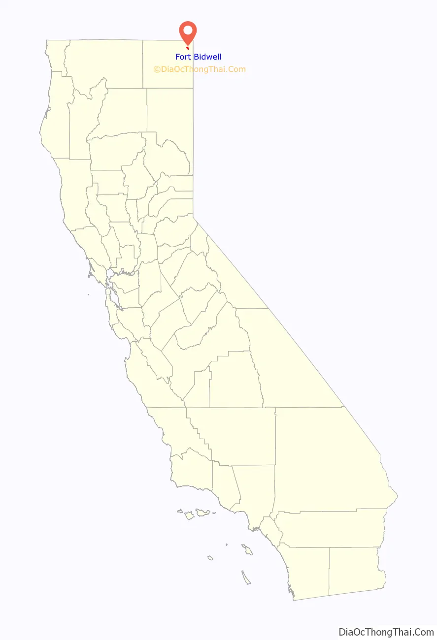
Fort Bidwell is a census-designated place in Modoc County, California. It is located 32 miles (51 km) northeast of Alturas, at an elevation of 4564 feet (1391 m). Its population is 180 as of the 2020 census, up from 173 from the 2010 census.
| Name: | Fort Bidwell CDP |
|---|---|
| LSAD Code: | 57 |
| LSAD Description: | CDP (suffix) |
| State: | California |
| County: | Modoc County |
| Elevation: | 4,564 ft (1,391 m) |
| Total Area: | 3.217 sq mi (8.332 km²) |
| Land Area: | 3.200 sq mi (8.288 km²) |
| Water Area: | 0.017 sq mi (0.044 km²) 0.52% |
| Total Population: | 180 |
| Population Density: | 56/sq mi (22/km²) |
| ZIP code: | 96112 |
| Area code: | 530 |
| FIPS code: | 0625030 |
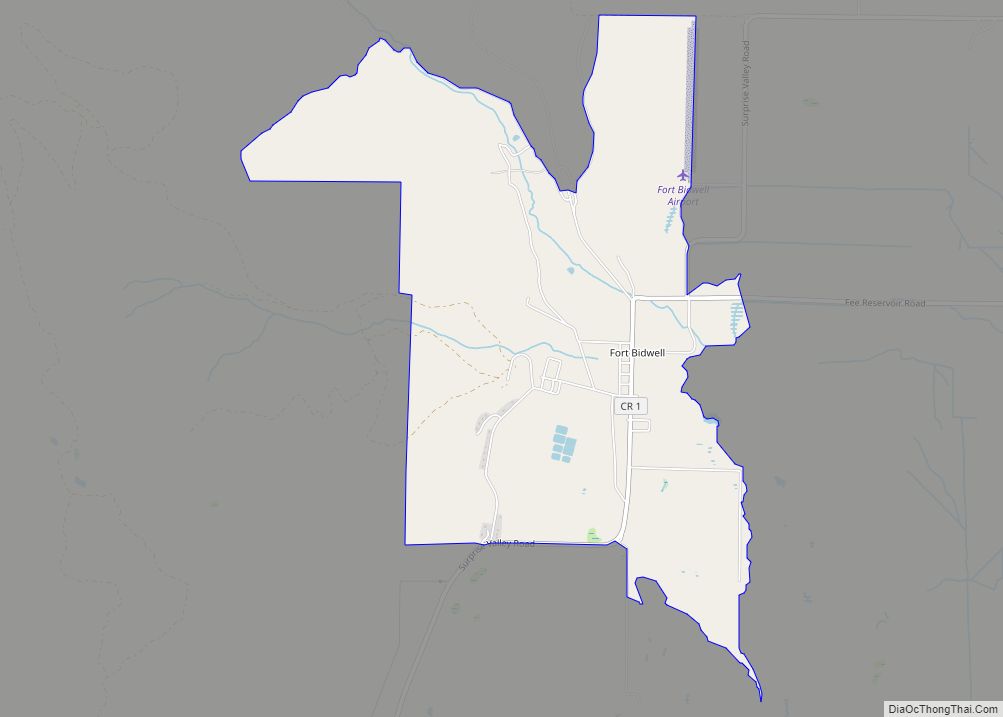
Online Interactive Map
Click on ![]() to view map in "full screen" mode.
to view map in "full screen" mode.
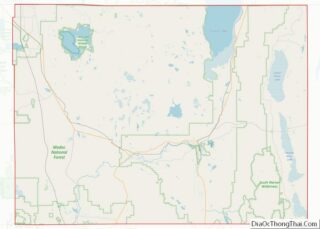
Fort Bidwell location map. Where is Fort Bidwell CDP?
History
In 1865, General John Bidwell backed a petition from settlers at Red Bluff, California to protect Red Bluff’s trail to the Owhyhee Mines of Idaho. The U.S. Army commissioned seven forts for this purpose, and dispatched a Major Williamson in April to explore a site for a fort in either Goose Lake Valley or Surprise Valley, from which he selected a site near Fandango Pass at the base of the Warner Mountains in the north end of Surprise Valley, and orders to build the fort were issued on June 10, 1865. Although Surprise Valley settlers desired Army protection, ranchers dispossessed of lands for the fort complained, and claimed damages from the Army.
The fort was built in 1865 amid escalating fighting with the Snake Indians of eastern Oregon and southern Idaho. It was a base for operations in the Snake War that lasted until 1868, the Battle of Infernal Caverns in 1867 with General George Crook, the Modoc War of 1872–73 and the Bannock and Nez Perce campaigns. Although traffic dwindled on the Red Bluff route once the Central Pacific Railroad extended into Nevada in 1868, the Army staffed Fort Bidwell to quell various uprisings and disturbances until 1890.
Both Fort Bidwell and Camp Bidwell, near Chico were named for General John Bidwell. However, Camp Bidwell was commissioned in 1863, renamed Camp Chico by the time Fort Bidwell was commissioned in 1865, and was decommissioned in 1893. Observing confusion between the two, Robert W. Pease explained that such a transfer of name between outposts was a common Army practice of the time.
The Fort Bidwell post office opened in 1868. A 1913 book described Fort Bidwell as having a population of about 200, and containing a school and reservation for the Northern Paiute Kidütökadö band (Gidu Ticutta – ‘Yellow-bellied marmot-Eaters’, also called “Northern California Paiute”).
Fort Bidwell is now registered as California Historical Landmark #430.
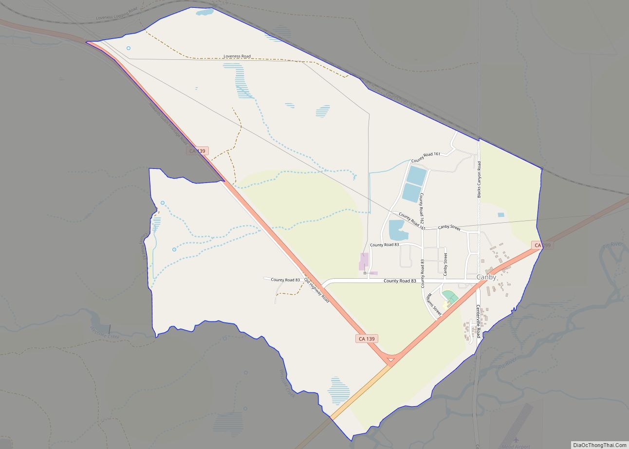
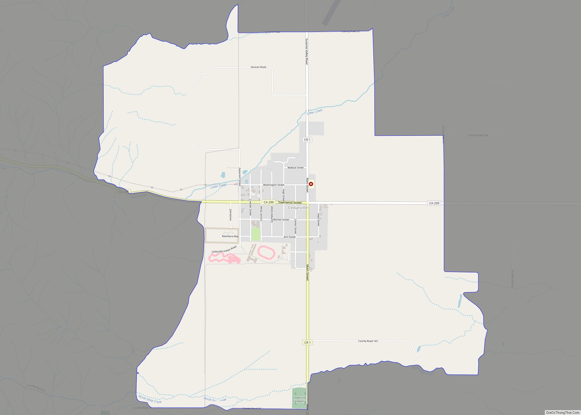
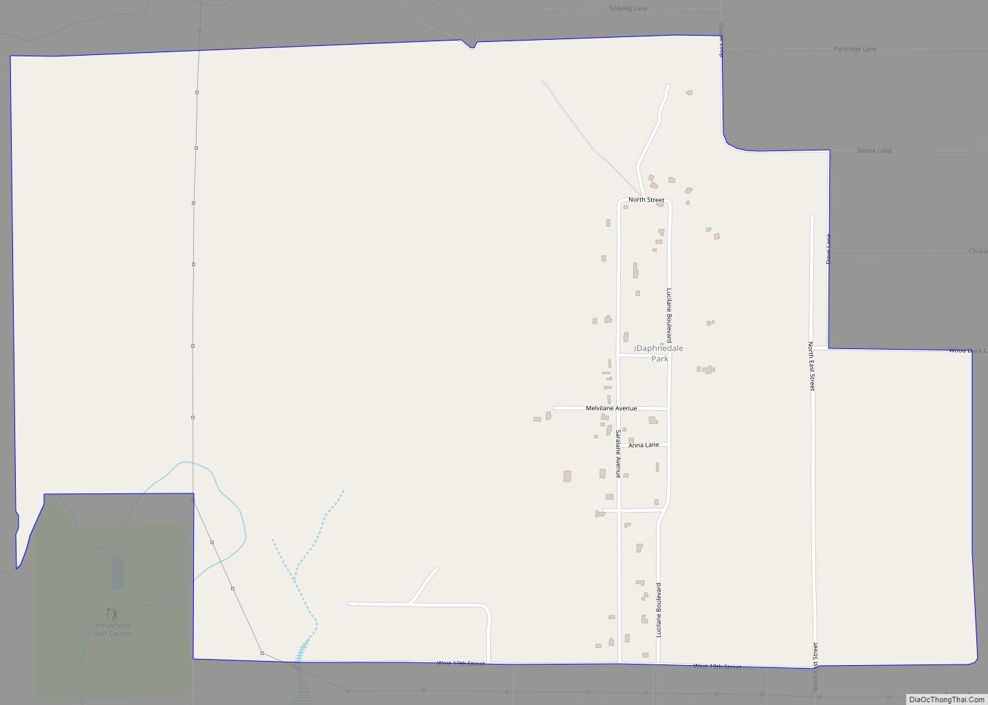
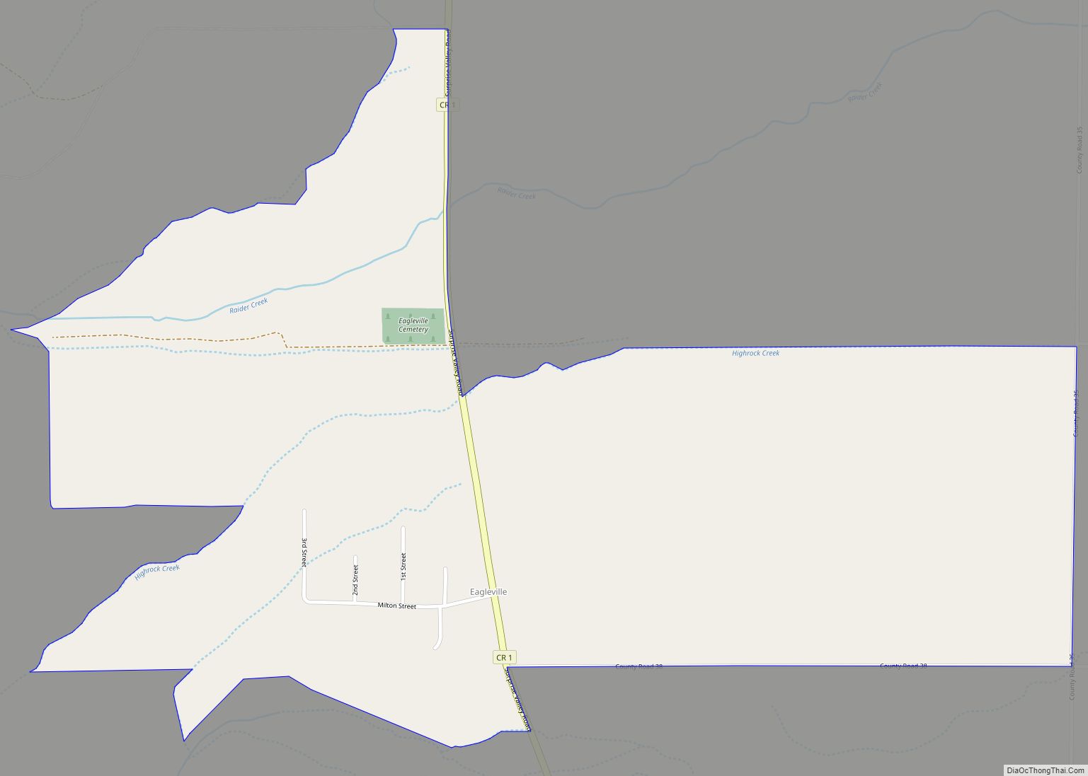
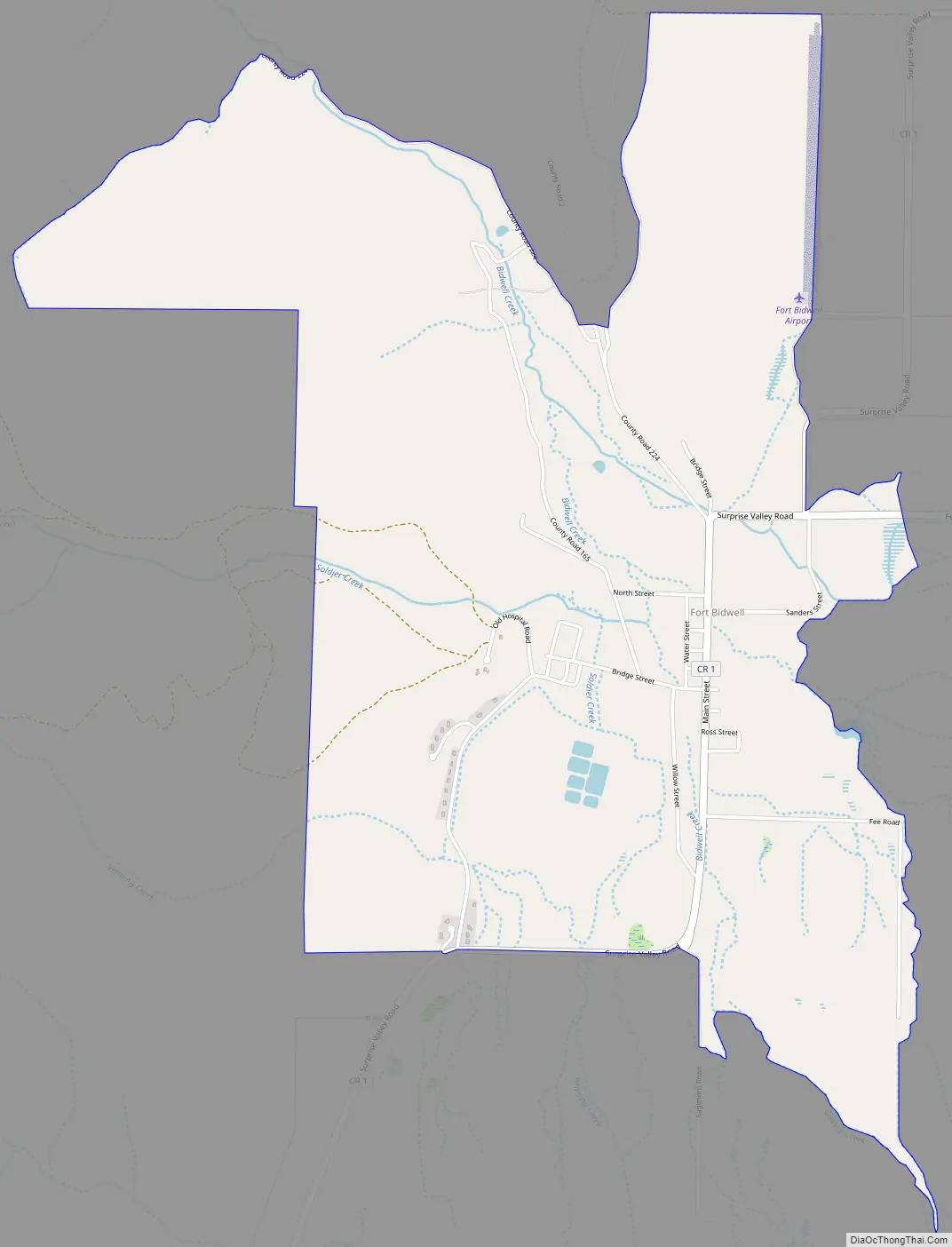
Fort Bidwell Road Map
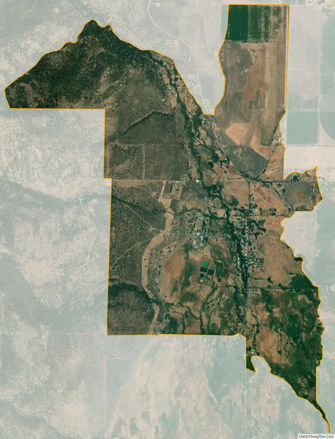
Fort Bidwell city Satellite Map
Geography
Fort Bidwell is located near the north end of the Surprise Valley. The community’s ZIP Code is 96112 and elevation is about 4,564 feet (1,391 m). The coordinates for the town are 41°51′38″N 120°09′05″W / 41.86056°N 120.15139°W / 41.86056; -120.15139. The airport, (FAA identifier: A28), is about 1-mile (1.6 km) north of the center of the community at 41°52′34″N 120°08′48″W / 41.87611°N 120.14667°W / 41.87611; -120.14667. The Fort Bidwell Indian Community is affiliated with the Paiute nation.
According to the United States Census Bureau, the CDP covers an area of 3.2 square miles (8.3 km), 99.48% of it land, and 0.52% of it water.
See also
Map of California State and its subdivision:- Alameda
- Alpine
- Amador
- Butte
- Calaveras
- Colusa
- Contra Costa
- Del Norte
- El Dorado
- Fresno
- Glenn
- Humboldt
- Imperial
- Inyo
- Kern
- Kings
- Lake
- Lassen
- Los Angeles
- Madera
- Marin
- Mariposa
- Mendocino
- Merced
- Modoc
- Mono
- Monterey
- Napa
- Nevada
- Orange
- Placer
- Plumas
- Riverside
- Sacramento
- San Benito
- San Bernardino
- San Diego
- San Francisco
- San Joaquin
- San Luis Obispo
- San Mateo
- Santa Barbara
- Santa Clara
- Santa Cruz
- Shasta
- Sierra
- Siskiyou
- Solano
- Sonoma
- Stanislaus
- Sutter
- Tehama
- Trinity
- Tulare
- Tuolumne
- Ventura
- Yolo
- Yuba
- Alabama
- Alaska
- Arizona
- Arkansas
- California
- Colorado
- Connecticut
- Delaware
- District of Columbia
- Florida
- Georgia
- Hawaii
- Idaho
- Illinois
- Indiana
- Iowa
- Kansas
- Kentucky
- Louisiana
- Maine
- Maryland
- Massachusetts
- Michigan
- Minnesota
- Mississippi
- Missouri
- Montana
- Nebraska
- Nevada
- New Hampshire
- New Jersey
- New Mexico
- New York
- North Carolina
- North Dakota
- Ohio
- Oklahoma
- Oregon
- Pennsylvania
- Rhode Island
- South Carolina
- South Dakota
- Tennessee
- Texas
- Utah
- Vermont
- Virginia
- Washington
- West Virginia
- Wisconsin
- Wyoming