Fort Irwin National Training Center (Fort Irwin NTC) is a major training area for the United States military in the Mojave Desert in northern San Bernardino County, California. Fort Irwin is at an average elevation of 2,454 feet (748 m). It is located 37 miles (60 km) northeast of Barstow, in the Calico Mountains.
The National Training Center is part of the US Army Forces Command (FORSCOM). The opposing force at the National Training Center is the 11th Armored Cavalry Regiment, the Blackhorse Cavalry, who are stationed at the base to provide an opposing force to units on a training rotation at Fort Irwin. In September 2017, a state-of-the-art hospital was opened that provides healthcare services to the Fort Irwin beneficiaries.
Fort Irwin works within the R-2502 Special Use Airspace Complex.
| Name: | Fort Irwin CDP |
|---|---|
| LSAD Code: | 57 |
| LSAD Description: | CDP (suffix) |
| State: | California |
| County: | San Bernardino County |
| FIPS code: | 0625114 |
Online Interactive Map
Click on ![]() to view map in "full screen" mode.
to view map in "full screen" mode.
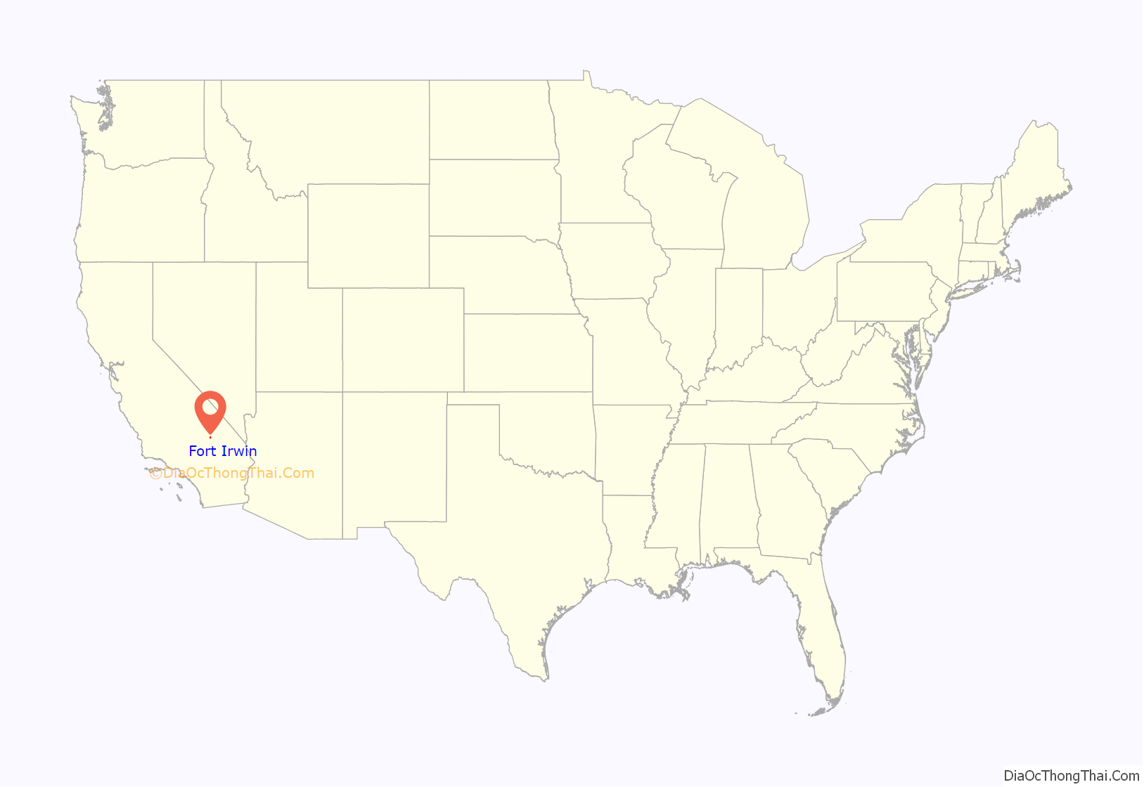
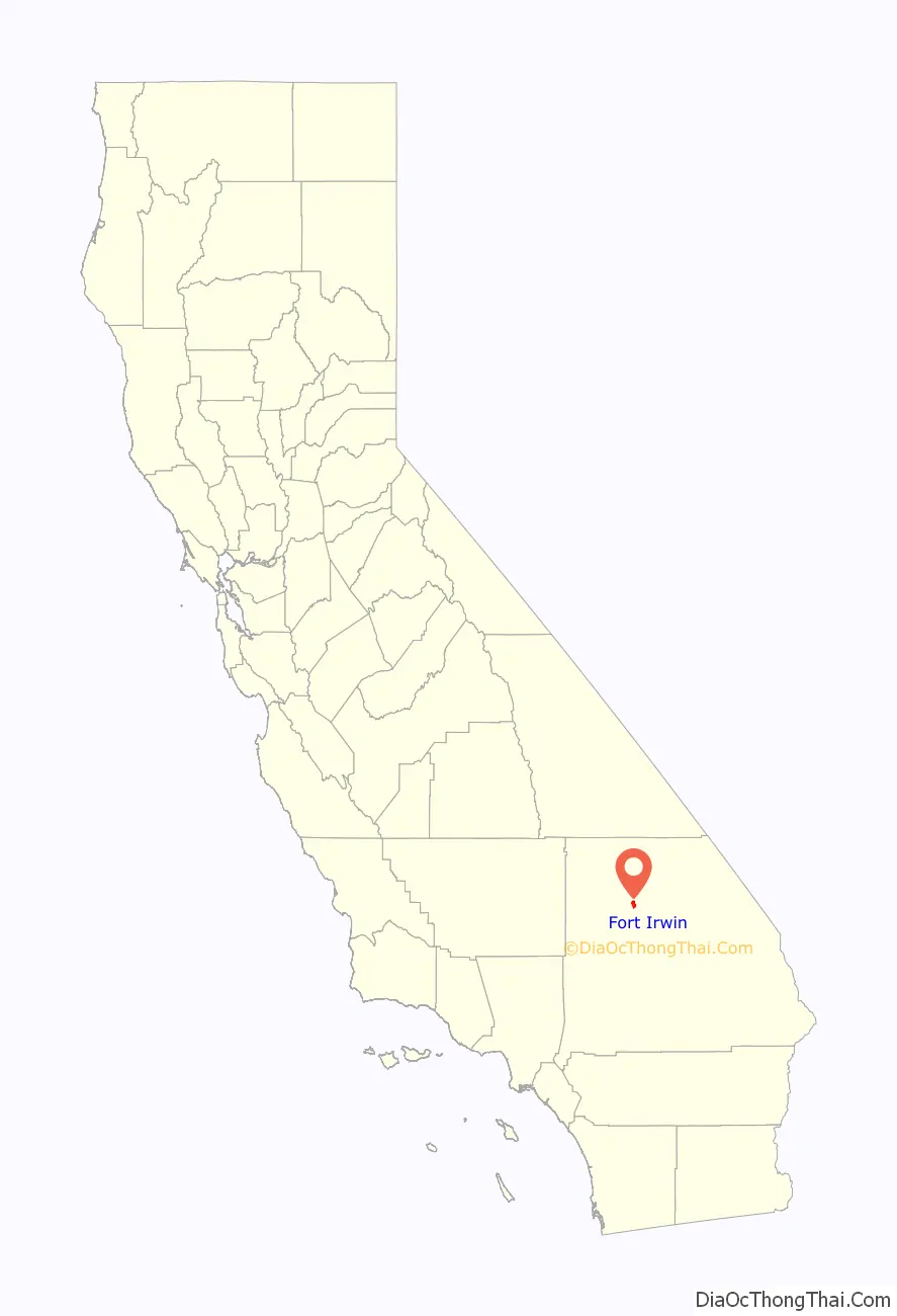
Fort Irwin location map. Where is Fort Irwin CDP?
History
The Fort Irwin area has a history dating back almost 15,000 years, when Native Americans of the Lake Mojave Period were believed to live in the area. Native American settlements and pioneer explorations in the area were first recorded when the Spanish missionary Padre Francisco Garces traveled the Mohave Trail with Mohave Indian guides in 1776. During his travels, he noted several small bands of Indians, and is believed to have been the first European to make contact with the Native Americans of the area.
Jedediah Smith is thought to have been the first European American to explore the area in 1826. A fur trapper, Smith was soon followed by other pioneers traveling the Old Spanish Trail between Santa Fe and Los Angeles. The trail crossed the area on the eastern edge of Fort Irwin, between Salt Spring and the Mojave River. The Old Spanish Trail passed through Silurian Valley, then west through the Avawatz Mountains at Red Pass and beyond the playa of Red Pass Lake, through a gap between the Soda and Tiefort Mountains to Bitter Spring in a wash in the next valley. Bitter Spring was the only reliable watering and grazing place along the route. From Bitter Spring the trail led 18.75 miles (30.18 km) southwest climbing Alvord Mountain to cross Impassable Pass to descend Spanish Canyon and cross the plains to the location of Fork of the Road on the north side of the Mojave River where it met the Mohave Trail.
In 1844, Captain John C. Fremont, accompanied by Kit Carson, was the first member of the US Army to visit the Fort Irwin area. Captain Fremont established a camp near Bitter Springs as he pioneered a route that served travelers on the Old Spanish Trail, and later the Mormon Road, linking Salt Lake City to California. This camp was later to become an important water and grazing place for pioneers crossing the Mojave Desert during California’s settlement and gold rush.
The California Gold Rush brought prosperous trade and unexpected trouble to the area. As California grew, and more travelers and freighters used the Mormon Road to cross the territory between California and Utah, raids and horse stealing became a problem. In 1847, the Army’s Mormon Battalion patrolled the Fort Irwin area to control the raiding and horse stealing. By 1855 it became part of the route of the freight wagon road between Los Angeles and Salt Lake City. During the Bitter Spring Expedition in 1860 the Army constructed Camp Bitter Springs, a small stone fort overlooking Bitter Spring and patrolled the Fort Irwin area.
In the 1880s the area experienced an economic boom with the discovery of borax at Death Valley. From the late 19th century to the early 20th century, the area began to grow tremendously as mining operations of all types flourished. Soon railroads, workers, and businesses led to the establishment of the nearby town of Barstow.
The years following the Indian Wars were quiet militarily. In 1940, President Franklin D. Roosevelt established the Mojave Anti-Aircraft Range, a military reservation of approximately 1,000 square miles (3,000 km) in the area of the present Fort Irwin. In 1942, the Mojave Anti-Aircraft Range was renamed Camp Irwin, in honor of Major General George LeRoy Irwin, commander of the 57th Field Artillery Brigade during World War I, and it was subsumed into the Desert Training Center as one of its cantonment areas and some of its ranges. Two years later, Camp Irwin was deactivated and placed on surplus status.
Camp Irwin reopened its gates in 1951 as the Armored Combat Training Area and served as a training center for combat units during the Korean War. Regimental tank companies of the U.S. 43d Infantry Division from Camp Pickett, Virginia were the first to train at the new facility.
The garrison was designated a permanent installation on 1 August 1961 and renamed Fort Irwin. During the Vietnam buildup, many units, primarily artillery and engineer, trained and deployed from Fort Irwin.
In January 1971, the garrison was deactivated again and placed in maintenance status under the control of Fort MacArthur (Los Angeles), California. The California National Guard assumed responsibility for the garrison and from 1972 to 1980, Fort Irwin was used primarily as a training area by Army National Guard and U.S. Army Reserve units.
National Training Center
On 9 August 1979, the Department of the Army announced that Fort Irwin had been selected as National Training Center (NTC). The location – an isolated area – was ideal because of its over 1,000 square miles (2,600 km) capacity for maneuver and ranges, its uncluttered electromagnetic spectrum, and its restricted airspace. The National Training Center was officially activated 16 October 1980, and Fort Irwin was transferred from the California Army National Guard back to the Regular Army returning into active status on 1 July 1981.
The NTC was unique in its training approach in the use of Real Time Location System (originally a General Dynamics microwave transponder system; later replaced by GPS); the use of lasers to simulate direct fire (including small arms); and the use of real time interactive computer models for indirect fire along with Air to Ground and Ground to Air missile systems. Originally developed as a prototype by the US Army’s Fort Hunter-Liggett with Systems and Software design the BDM, the NTC system was the first to augment After Action Reviews of training exercises with video and maneuver overlays including time stamped combat events.
Since its activation, the NTC has witnessed many other firsts. Among the first units to train against the Opposing Force (OPFOR) were 1st Battalion, 22nd Infantry and 1st Battalion 77th Armor, 4th Infantry Division (Mech) from Fort Carson, Colorado in Spring 1978 as a proof of concept FX for establishing Irwin as the NTC, the 3rd Battalion 67th Armor, 2nd Armored Division from Fort Hood, Texas in operation TASK FORCE IRWIN III, 1 Aug – 14 Sept, 1979, and 3rd Brigade, 1st Cavalry Division from Fort Hood, Texas in spring 1981. Also Ft Irwin and the 1st CAV tested and implemented the Multiple Integrated Laser Engagement System (MILES). Infantry and armor units first augmented the Opposing Force in 1984 as a detachment of the 7th infantry Division, Fort Ord CA. June 1985 saw the first use of M1 Abrams tanks and later in the fall of 1985 saw the M2 Bradley fighting vehicles on the NTC battlefield. The first armored cav. squadron rotation occurred in November 1984. Units from the 101st Airborne Division participated in the first light force rotation in March 1985. The 197th Infantry Brigade participated in the first extended rotation with brigade operations in June 1985. The first combined Light/Mechanized Infantry rotation took place in February 1990; the 7th Infantry Division (Light) from Fort Ord and the 24th Infantry Division (Mechanized) from Fort Stewart, Georgia participated. The first MOUT (Military Operations in Urban Terrain) mission was conducted at the NTC Pioneer Training Facility in December 1993.
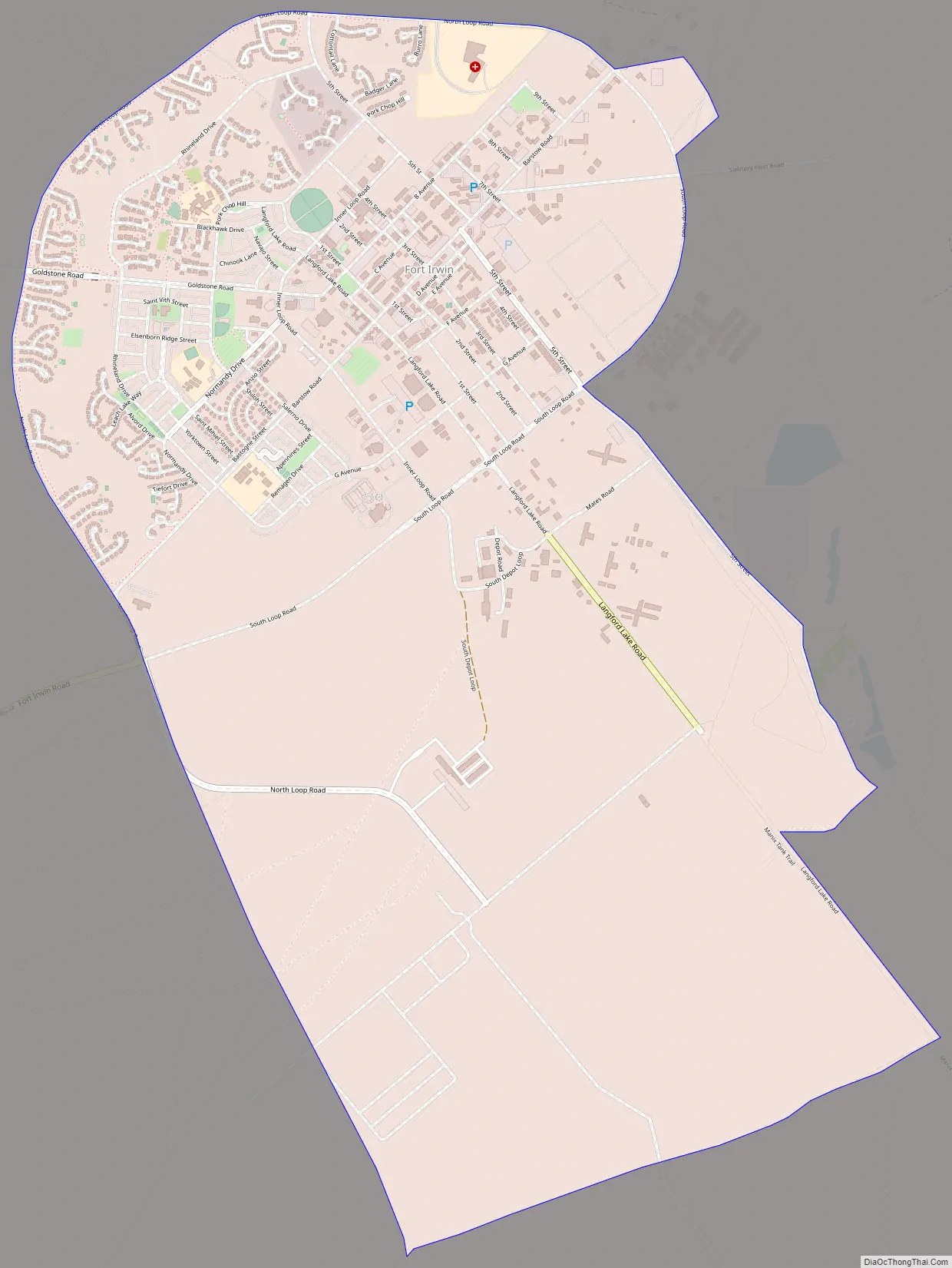
Fort Irwin Road Map
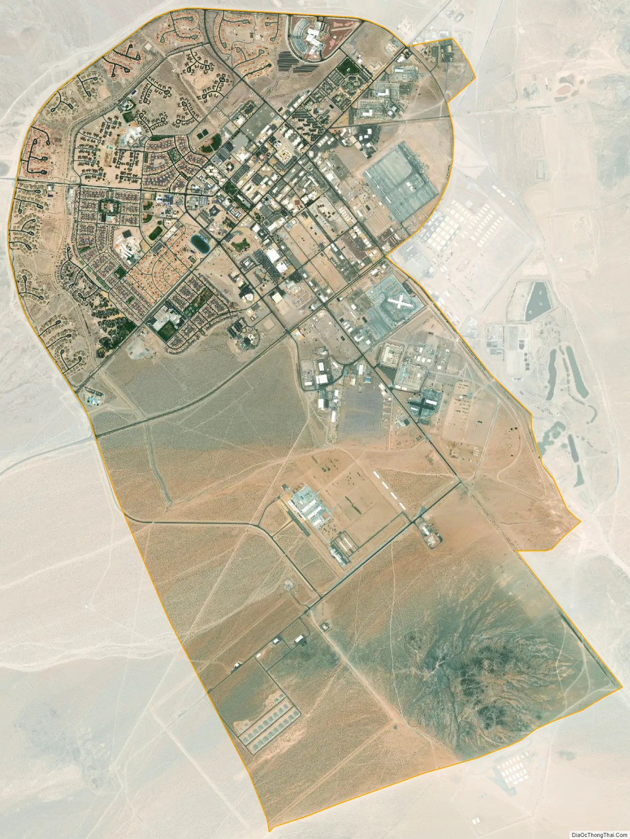
Fort Irwin city Satellite Map
Geography
Fort Irwin has a total area of 2,579.77 km (996.055 sq mi), with only 0.3277 km of this area as water, according to the United States Census Bureau, however the CDP covers an area of 7.1 square miles (18.3 km), all of it land.
Within its territory on its western side lies the Goldstone Deep Space Communications Complex. The ZIP Code is 92310, and the reservation is inside area codes 442 and 760.
See also
Map of California State and its subdivision:- Alameda
- Alpine
- Amador
- Butte
- Calaveras
- Colusa
- Contra Costa
- Del Norte
- El Dorado
- Fresno
- Glenn
- Humboldt
- Imperial
- Inyo
- Kern
- Kings
- Lake
- Lassen
- Los Angeles
- Madera
- Marin
- Mariposa
- Mendocino
- Merced
- Modoc
- Mono
- Monterey
- Napa
- Nevada
- Orange
- Placer
- Plumas
- Riverside
- Sacramento
- San Benito
- San Bernardino
- San Diego
- San Francisco
- San Joaquin
- San Luis Obispo
- San Mateo
- Santa Barbara
- Santa Clara
- Santa Cruz
- Shasta
- Sierra
- Siskiyou
- Solano
- Sonoma
- Stanislaus
- Sutter
- Tehama
- Trinity
- Tulare
- Tuolumne
- Ventura
- Yolo
- Yuba
- Alabama
- Alaska
- Arizona
- Arkansas
- California
- Colorado
- Connecticut
- Delaware
- District of Columbia
- Florida
- Georgia
- Hawaii
- Idaho
- Illinois
- Indiana
- Iowa
- Kansas
- Kentucky
- Louisiana
- Maine
- Maryland
- Massachusetts
- Michigan
- Minnesota
- Mississippi
- Missouri
- Montana
- Nebraska
- Nevada
- New Hampshire
- New Jersey
- New Mexico
- New York
- North Carolina
- North Dakota
- Ohio
- Oklahoma
- Oregon
- Pennsylvania
- Rhode Island
- South Carolina
- South Dakota
- Tennessee
- Texas
- Utah
- Vermont
- Virginia
- Washington
- West Virginia
- Wisconsin
- Wyoming


