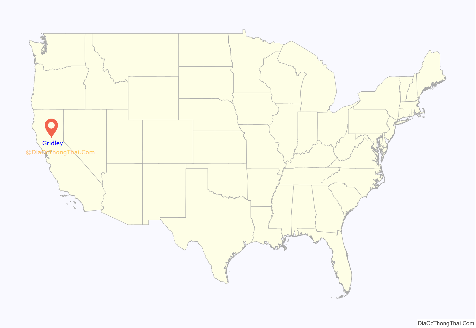
Gridley is a city in Butte County, California, United States, 29 miles (47 kilometers) south of Chico, California and 56 miles (90 kilometers) north of Sacramento, California. The 2019 State of California population estimate was 7,224. California State Route 99 runs through Gridley and Interstate 5 and California State Route 70 are both nearby. The highway CA 99 goes through Gridley and the current population is 9,082 [found in a recent census].
| Name: | Gridley city |
|---|---|
| LSAD Code: | 25 |
| LSAD Description: | city (suffix) |
| State: | California |
| County: | Butte County |
| Incorporated: | November 23, 1905 |
| Elevation: | 95 ft (29 m) |
| Total Area: | 2.08 sq mi (5.40 km²) |
| Land Area: | 2.08 sq mi (5.40 km²) |
| Water Area: | 0.00 sq mi (0.00 km²) 0% |
| Total Population: | 16,330 |
| Population Density: | 3,476.97/sq mi (1,342.59/km²) |
| ZIP code: | 95948 |
| Area code: | 530 |
| FIPS code: | 0631260 |
| Website: | www.gridley.ca.us |
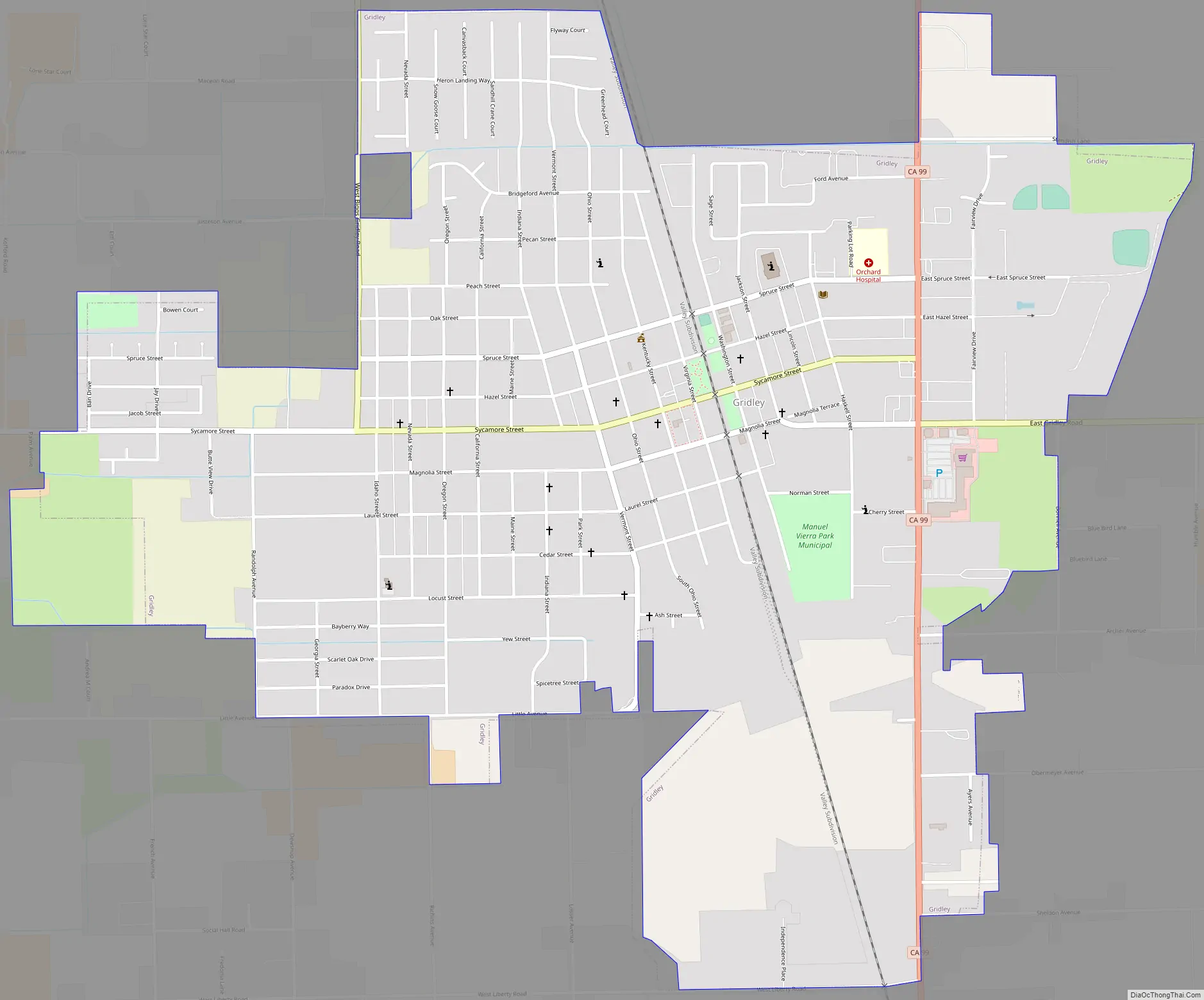
Online Interactive Map
Click on ![]() to view map in "full screen" mode.
to view map in "full screen" mode.
Gridley location map. Where is Gridley city?

History
Butte County was historically a bountiful area covered with oak trees, fields of manzanita brush, and marshes and lakes in the rainy season. The valley floor abounded with wild game, geese and ducks overhead, deer, antelope, tule elk, the coyote, and many smaller varieties of animal life. Fish swarmed in the rivers and creeks. Several tribal groups, including the Maidu people, were settled in the region when they were first encountered by Spanish and Mexican scouting expeditions in the early 18th century. In the 1850s George W. Gridley, a wool grower and grain farmer who at the time was one of the largest landowners in Butte County, settled a 960-acre home ranch west of the town site that was to be named after him. Gridley was established in 1870 when the Oregon and California Railroad was constructed north from Marysville. The railroad reached Chico on July 2, 1870.
In response to a “The Place Where Crops Never Fail” advertising campaign by the California Irrigated Land Company, members of The Church of Jesus Christ of Latter-day Saints began emigrating from the Rexburg, Idaho area to Gridley in November 1906. By February of the following year the Gridley Branch of the church was organized and more Latter-day Saints continued coming to Gridley from Idaho, Nevada, Utah and other states, effectively turning this small farming community into a Mormon enclave. By the end of 1908 there were some 500 LDS settlers in the Gridley area and their first chapel was constructed on the west corner of Sycamore and Vermont Streets in 1912 with a seating capacity of 1,000—the largest LDS meetinghouse west of Salt Lake City at that time.
Following a fire in November 2018 in Paradise, California, 400 temporary modular housing units called the “Gridley Camp Fire Community” were erected at a city-owned industrial park in Gridley.
In 2020, Gridley was the place where former NASA engineer and YouTube star Mark Rober achieved a world record of the World’s Largest Elephant’s Toothpaste Explosion with a height of 60 feet, before subsequently breaking the record again with a height of 250 feet in 2021.
Gridley Road Map
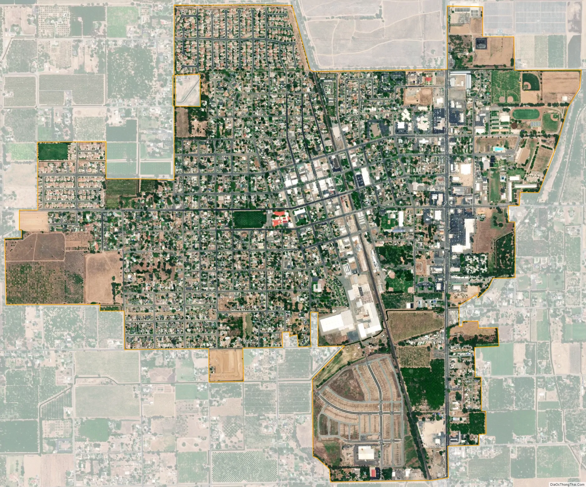
Gridley city Satellite Map
Geography
According to the United States Census Bureau, the city has a total area of 2.1 square miles (5.4 km), all land.
Climate
According to the Köppen climate classification system, Gridley has a warm-summer Mediterranean climate, abbreviated “Csa” on climate maps.
See also
Map of California State and its subdivision:- Alameda
- Alpine
- Amador
- Butte
- Calaveras
- Colusa
- Contra Costa
- Del Norte
- El Dorado
- Fresno
- Glenn
- Humboldt
- Imperial
- Inyo
- Kern
- Kings
- Lake
- Lassen
- Los Angeles
- Madera
- Marin
- Mariposa
- Mendocino
- Merced
- Modoc
- Mono
- Monterey
- Napa
- Nevada
- Orange
- Placer
- Plumas
- Riverside
- Sacramento
- San Benito
- San Bernardino
- San Diego
- San Francisco
- San Joaquin
- San Luis Obispo
- San Mateo
- Santa Barbara
- Santa Clara
- Santa Cruz
- Shasta
- Sierra
- Siskiyou
- Solano
- Sonoma
- Stanislaus
- Sutter
- Tehama
- Trinity
- Tulare
- Tuolumne
- Ventura
- Yolo
- Yuba
- Alabama
- Alaska
- Arizona
- Arkansas
- California
- Colorado
- Connecticut
- Delaware
- District of Columbia
- Florida
- Georgia
- Hawaii
- Idaho
- Illinois
- Indiana
- Iowa
- Kansas
- Kentucky
- Louisiana
- Maine
- Maryland
- Massachusetts
- Michigan
- Minnesota
- Mississippi
- Missouri
- Montana
- Nebraska
- Nevada
- New Hampshire
- New Jersey
- New Mexico
- New York
- North Carolina
- North Dakota
- Ohio
- Oklahoma
- Oregon
- Pennsylvania
- Rhode Island
- South Carolina
- South Dakota
- Tennessee
- Texas
- Utah
- Vermont
- Virginia
- Washington
- West Virginia
- Wisconsin
- Wyoming


